
Photo: Wikipedia
Strategic Assessment of Grenada County
Strong survivability profile. Good buffer from population centers, with manageable environmental and tactical risks.
What does the Strategic Assessment tell us?
Our Strategic Assessment grades tactical survivability of an area. Major population centers, military targets, fallout zones, natural disasters, and border exposure all drive risk — lower exposure means a more defensible position in a crisis.
This is heavily inspired by Joel Skousen's Strategic Relocation book. Highly recommended you checkout the book ($)What does this tell us?
Our Strategic Assessment grades tactical survivability of an area. Major population centers, military targets, fallout zones, natural disasters, and border exposure all drive risk — lower exposure means a more defensible position in a crisis.
This is heavily inspired by Joel Skousen's Strategic Relocation book. Highly recommended you checkout the book ($)Strategic Pillars

Key Distances
Strategic Assessment Analysis
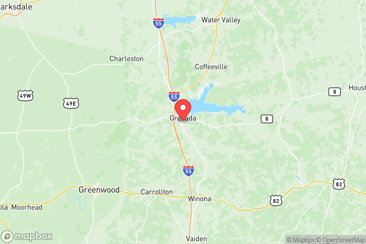
Grenada County, Mississippi, sits in a sweet spot that strategic relocators rarely find: close enough to supply chains and medical hubs to be practical, but far enough from the obvious bullseyes to offer genuine breathing room. The county’s resilience comes from its position along the I-55 corridor, roughly halfway between Memphis and Jackson, with the Yalobusha River cutting through its center. For someone thinking about where to land when the lights flicker—whether from grid failure, civil unrest, or something worse—this area offers a mix of natural barriers, agricultural capacity, and low population density that’s hard to beat in the Mid-South.
Geographic position and natural advantages for long-term stability
Grenada County’s geography is its first line of defense. The county is anchored by the 35,000-acre Grenada Lake, a U.S. Army Corps of Engineers project that provides a massive freshwater reservoir and flood control. That lake isn’t just a recreation spot—it’s a strategic water source that could sustain a community through extended disruptions. The surrounding hills and hardwood forests create natural chokepoints and visual cover, unlike the flat, exposed Delta counties to the west. The county seat, Grenada, sits at the intersection of I-55 and MS-8, giving residents two solid evacuation routes north toward Memphis or south toward Jackson, plus east-west options toward the Alabama line. The nearest major city is Memphis, about 90 miles north—close enough for a day trip to stock supplies or access trauma care, but far enough that you won’t catch the spillover from a Memphis riot or refinery fire. The county’s position also puts it outside the direct blast radius of any single major target, which matters if you’re thinking about EMP scenarios or strategic strikes. The Yalobusha River and its tributaries provide natural defensible lines and year-round water flow, something the flatland counties can’t offer.
Risks, exposures, and proximity to fallout-relevant landmarks
No place is a fortress, and Grenada County has its share of exposures. The biggest concern is the Tennessee Valley Authority’s (TVA) Browns Ferry Nuclear Plant in Athens, Alabama, about 120 miles east-northeast. While that’s outside the immediate fallout zone for most scenarios, prevailing winds from the west mean a worst-case release could drift toward the county. Closer to home, the Entergy Grand Gulf Nuclear Station near Port Gibson, Mississippi, sits about 130 miles southwest—again, not a direct threat, but worth noting for anyone mapping fallout corridors. The county itself has no major industrial targets, which is a double-edged sword: it means fewer jobs but also fewer reasons for a strike or sabotage. The nearest refinery is the Valero Memphis Refinery, about 90 miles north, which is a prime target for both conventional and cyber attacks. A major event there could disrupt fuel supplies for weeks, so relocators should plan for at least 30 days of stored fuel. On the plus side, Grenada County is far from the hurricane storm surge zones of the Gulf Coast (about 200 miles inland) and outside the New Madrid seismic zone’s highest-risk area, though the 1811-1812 earthquakes did rattle this region. The county’s biggest practical risk is probably tornadoes—this is Dixie Alley, and spring storms can be violent. But that’s a weather risk, not a societal collapse risk, and it’s manageable with a good storm shelter.
Practical resilience for a relocator: food, water, energy, and defensibility
For someone serious about self-sufficiency, Grenada County checks most boxes. The Grenada Lake provides a near-limitless water source, but you’ll need filtration—the lake is popular for recreation and has agricultural runoff from surrounding farms. The county’s agricultural base is strong: soybeans, corn, cotton, and timber are the mainstays, and there’s a working Grenada County Farmers Market that operates seasonally. For long-term food security, the soil in the river bottoms is fertile, and the growing season runs from April to October. Energy resilience is mixed. The county is served by Entergy Mississippi and Tallahatchie Valley Electric Power Association, both of which have above-average reliability for rural Mississippi, but the grid is still vulnerable to ice storms and cyber attacks. Solar potential is decent—the area gets about 210 sunny days per year, which is average for the region—but you’ll want battery storage because grid outages can stretch for days after a big storm. Defensibility is where this county shines. The terrain is rolling hills with mixed hardwood and pine forests, offering plenty of cover and natural chokepoints. The population density is low—about 40 people per square mile—so you’re not dealing with close neighbors unless you choose to be. The Grenada Police Department and Grenada County Sheriff’s Office are professional but small; in a crisis, you’re largely on your own after the first 48 hours. That’s not a criticism—it’s reality for any rural county. The local hospital, Grenada Lake Medical Center, is a 50-bed facility with a basic emergency room, but for anything serious you’re looking at a 90-minute drive to Memphis or a 2-hour drive to Jackson. Stock your own medical kit accordingly.
The overall strategic picture for Grenada County is one of calculated trade-offs. It’s not a bunker—there’s no mountain redoubt or isolated island here. But for a relocator who wants to be within a day’s drive of major resources while staying off the radar of anyone mapping strategic targets, this county makes sense. The lake gives you water and a natural barrier. The forests give you cover. The low population gives you space. And the distance from Memphis, Jackson, and the Gulf Coast refineries means you’re unlikely to see the worst of whatever comes down the pipe. If you’re looking for a place to build a resilient life—not just survive, but actually live—Grenada County deserves a hard look. Just bring your own solar panels, a good water filter, and a plan for the first 30 days. After that, the land will take care of you.
* Values derived from national, state, county, city and local statistics and may differ in a specific area. Last updated: 2026-06-01T07:49:32.000Z
Narrative content on this page is AI-generated and may contain mistakes. Verify any details that matter before acting on them.
ReloMaps may earn a commission from affiliate links at no extra cost to you.