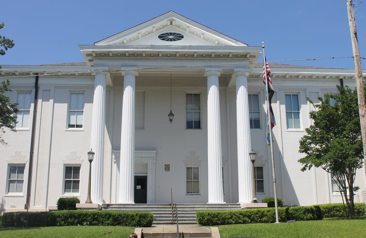
Photo: Wikipedia
Strategic Assessment of Adams County
Workable tactical position. Some exposure to population density or targets, but generally defensible in a crisis.
What does the Strategic Assessment tell us?
Our Strategic Assessment grades tactical survivability of an area. Major population centers, military targets, fallout zones, natural disasters, and border exposure all drive risk — lower exposure means a more defensible position in a crisis.
This is heavily inspired by Joel Skousen's Strategic Relocation book. Highly recommended you checkout the book ($)What does this tell us?
Our Strategic Assessment grades tactical survivability of an area. Major population centers, military targets, fallout zones, natural disasters, and border exposure all drive risk — lower exposure means a more defensible position in a crisis.
This is heavily inspired by Joel Skousen's Strategic Relocation book. Highly recommended you checkout the book ($)Strategic Pillars

Key Distances
Strategic Assessment Analysis
Adams County, Mississippi, anchored by the historic river city of Natchez, presents a nuanced strategic picture for relocators weighing disaster readiness and long-term self-sufficiency against the conveniences of Southern living. Its position along the Mississippi River and its relative distance from major metropolitan blast zones offer genuine resilience advantages, but those benefits come with specific, localized exposure risks that demand careful consideration. For a conservative-leaning individual or family prioritizing autonomy and preparedness, this area is less a bug-out paradise and more a calculated bet on regional stability in an increasingly unpredictable landscape.
Geographic position and natural advantages for preparedness
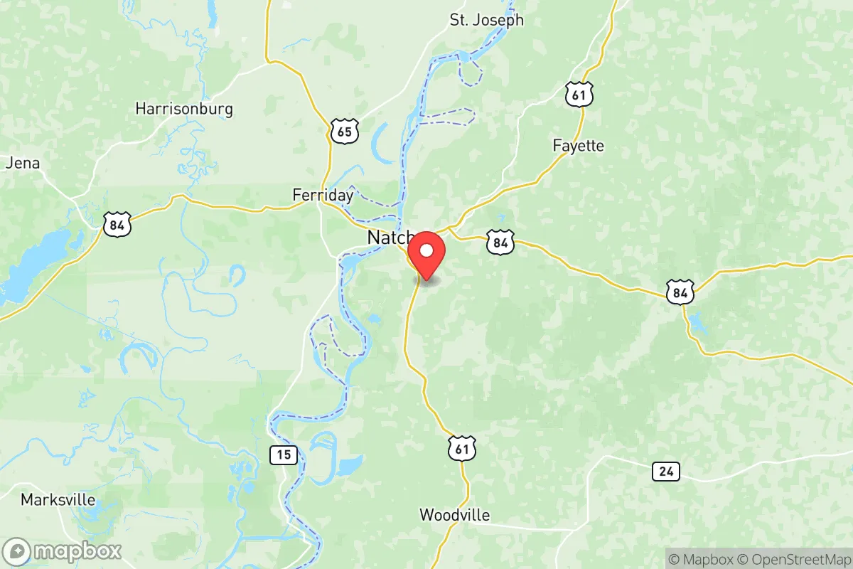
Adams County’s primary strategic asset is its location. Sitting roughly 85 miles southwest of Jackson, Mississippi, and 140 miles north of Baton Rouge, Louisiana, it lies outside the immediate fallout and secondary disruption zones of those larger population centers. This distance from high-value targets—including the significant petrochemical infrastructure along the Lower Mississippi River—reduces the likelihood of being caught in the direct effects of a regional crisis, whether natural or man-made. The county’s topography, characterized by the steep loess bluffs along the river and rolling pine hills inland, offers natural defensibility and vantage points that are rare in the flat Delta region to the north. The Mississippi River itself is a double-edged edge: it provides a near-limitless water source for purification, a major transportation corridor for pre-positioning supplies, and a natural barrier to approach from the west. However, it also concentrates rail, barge, and pipeline traffic, creating a corridor of industrial activity that, while not a primary target, represents a secondary risk zone for accidents or spills.
Risks, exposures, and proximity to fallout-relevant landmarks
The most significant man-made risk for Adams County is its proximity to the Louisiana petrochemical corridor, which stretches from Baton Rouge to New Orleans. While Natchez itself hosts some chemical storage and the Natchez-Adams County Port, the heavy industrial complexes at Geismar, Baton Rouge, and Plaquemine are roughly an hour south. In a large-scale event targeting those facilities, prevailing winds from the south could carry airborne contaminants directly through the county, making pre-planned sheltering protocols and air filtration systems a non-negotiable element of any preparedness plan. Additionally, the Grand Gulf Nuclear Station, located about 25 miles north in Port Gibson, represents a low-frequency but high-consequence risk. An accident there would put parts of Adams County within the plume exposure pathway, necessitating a clear evacuation or shelter-in-place plan. On the weather front, the area sits squarely in the lower Mississippi Valley’s severe weather zone. Tornado risk is moderate but real, with the state’s highest historical tornado frequency concentrated just to the west in Louisiana. Flash flooding from the Mississippi River and its tributaries, particularly along the river bottomlands in the western part of the county, is an annual concern, though the historic Natchez Bluff provides high ground for much of the population.
Practical resilience for a relocator: Food, water, energy, and defensibility
For a family or individual serious about self-sufficiency, Adams County offers a mixed bag. Water is abundant but requires work. The Mississippi River is the obvious primary source, but its heavy silt and agricultural runoff load makes purification a multi-stage process requiring robust filtration, not just tablets or a common filter. Deep wells tapping into the Sparta or Cockfield aquifers are a viable and often affordable alternative, particularly for properties set back from the river. The county’s rural character means private well drilling is common and relatively inexpensive compared to urban areas. Food resilience is strong. The long growing season—typically from April to October—supports home gardens, and the area’s agricultural base includes livestock and row crops. The Natchez Farmers Market is a real asset for building local supply chains, and the surrounding rural areas contain smaller, independent farms that can be cultivated into a community network. Energy is where Adams County shows a clear weakness. The local electrical grid is served primarily by Entergy Mississippi, and service reliability, particularly during severe weather or summer peak loads, is a known issue. Outages of 12-24 hours are not uncommon during storm events. Solar adoption is feasible given the area’s average 215 sunny days per year (slightly below the national average), but backup battery storage or a standalone generator is practically essential for any serious preparedness plan. Defensibility is the county’s strongest asset. The bluffs provide natural chokepoints, and the spread-out, low-density housing pattern means most neighborhoods are not easily approachable from multiple directions without prior knowledge of the terrain.
The overall strategic picture for a relocator
Adams County, Mississippi, presents a viable but demanding option for the preparedness-minded relocator. Its genuine strengths—distance from primary targets, a defensible geography, abundant water, and strong agricultural potential—are offset by proximity to a major petrochemical corridor and a grid that is not built for extreme resilience. For a single person or family willing to invest in robust water filtration, off-grid power, and a well-stocked medical cache, this area offers the space and resources to build a genuinely self-reliant lifestyle without the isolation of the deep countryside. The presence of Natchez Regional Medical Center and the Natchez Police Department also provides a baseline of local services that many more remote locations lack. The strategic calculus here is not one of avoiding all risk, but of accepting a known set of regional hazards in exchange for a lower-probability, higher-quality environment for long-term stability. For the reader who values autonomy over convenience and is willing to pay the price of proactive preparation, Adams County is a location worth serious consideration.

* Values derived from national, state, county, city and local statistics and may differ in a specific area. Last updated: 2026-07-02T23:48:39.000Z
Narrative content on this page is AI-generated and may contain mistakes. Verify any details that matter before acting on them.
ReloMaps may earn a commission from affiliate links at no extra cost to you.

