Photo: Wikipedia
Strategic Assessment of Millersville, PA
Multiple tactical vulnerabilities. Population density, target proximity, or disaster risk are likely compounding. A retreat property and exit planning is required.
What does the Strategic Assessment tell us?
Our Strategic Assessment grades tactical survivability of an area. Major population centers, military targets, fallout zones, natural disasters, and border exposure all drive risk — lower exposure means a more defensible position in a crisis.
This is heavily inspired by Joel Skousen's Strategic Relocation book. Highly recommended you checkout the book ($)What does this tell us?
Our Strategic Assessment grades tactical survivability of an area. Major population centers, military targets, fallout zones, natural disasters, and border exposure all drive risk — lower exposure means a more defensible position in a crisis.
This is heavily inspired by Joel Skousen's Strategic Relocation book. Highly recommended you checkout the book ($)Strategic Pillars

Key Distances
Regional Safe Places
Below is our recommended "safe zones" in Pennsylvania and the surrounding area based on our strategic heuristics. For most people, it's unrealistic to live in a “safe zone” full-time due to work, family or other personal reasons. They tend to be more rural. However, many of these areas are perfect for second homes and retreat properties that double as a vacation home or even a short-term rental.




Important Note: For informational purposes only. This does not mean nothing bad ever happens in the green zones. Please use common sense. This is based on public data and modeled with AI. We tried to take a conservative approach but mistakes happen. We update this regularly as new information becomes available.
Solar Generator Recommendations
Backup power matters more here than in safer locations. We've picked three solar generators across budgets and capacity tiers — start with the budget unit if you only need a few essentials, or step up if you want to run a fridge and HVAC for days at a time.

Jackery Portable Power Station Explorer 300
Budget OptionPower on the Go: Weighing only 11 lbs, it's convenient to set up and store with book-sized foldable solar panels

BLUETTI Portable Power Station AC180
Designed for both indoor and outdoor scenarios, AC180 is highly capable as it has a robost capacity and continuous output power.

EF ECOFLOW DELTA Pro Ultra Power Station
Upgraded PickEcoFlow DELTA Pro Ultra is a whole-home energy system designed to grow with your family. Integrated with the Smart Home Panel 2, it scales to meet your evolving energy needs — keeping your home powered, intelligent, and secure through every stage of life.
We earn a commission, at no additional cost to you.
Strategic Assessment Analysis
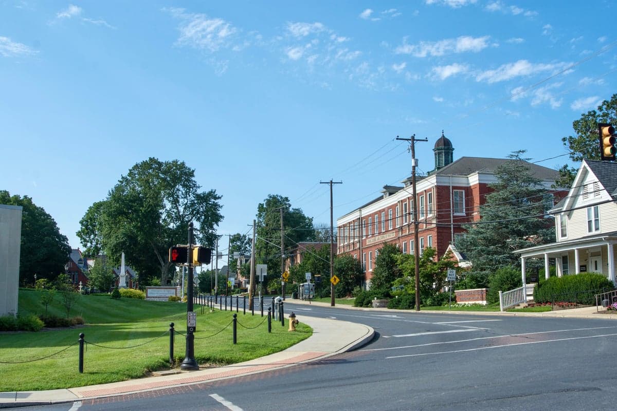
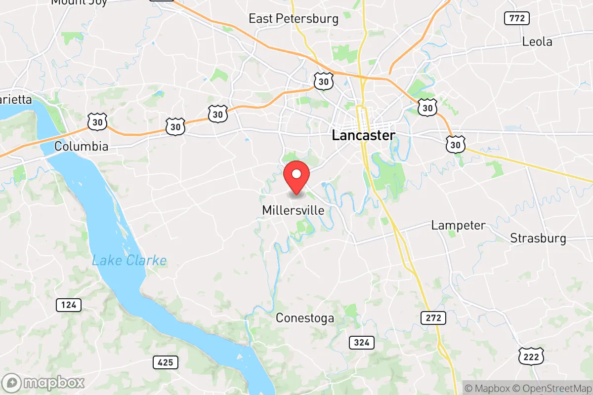
Millersville, Pennsylvania, offers a strategic blend of small-town stability and proximity to critical infrastructure that makes it a noteworthy option for relocation-minded individuals and families prioritizing resilience. Situated in Lancaster County, roughly 60 miles west of Philadelphia and 30 miles southeast of Harrisburg, the borough benefits from being far enough from major metropolitan centers to avoid the worst of urban collapse scenarios, yet close enough to access resources and markets when conditions are stable. The area’s agricultural backbone, temperate climate, and relatively low population density (around 8,500 residents within the borough) provide a solid foundation for self-sufficiency, though its position within the densely populated Northeast Corridor introduces specific vulnerabilities that any serious preparedness-minded relocator must weigh.
Geographic position and natural advantages for long-term stability
Millersville sits in the fertile Susquehanna Valley, a region defined by rolling hills, limestone-rich soils, and a moderate climate that supports year-round agriculture. The borough itself lies at an elevation of roughly 370 feet, with the surrounding Lancaster County farmland rising to 500–600 feet in places—enough to avoid floodplain risks from the nearby Conestoga River, which runs about two miles south. The area’s natural advantages are rooted in its agricultural capacity: Lancaster County is one of the most productive non-irrigated farming regions in the United States, with over 5,000 farms covering nearly half the county’s land area. This means local food production is not a theoretical backup but a daily reality. The region’s karst topography (limestone bedrock) provides excellent groundwater recharge, and private wells are common in rural areas outside the borough, offering a decentralized water source independent of municipal systems. For a relocator, the ability to tap into local farm networks, farmers’ markets, and Amish and Mennonite communities that practice low-tech, sustainable agriculture is a concrete resilience advantage that few suburban areas can match.
Risks, exposures, and proximity to fallout-relevant landmarks
The most significant strategic drawback of Millersville is its location within the Northeast Corridor, a region dense with high-value targets in a major conflict scenario. The borough lies roughly 25 miles from the Susquehanna Steam Electric Station (a nuclear power plant in Berwick, PA), 30 miles from Three Mile Island (now decommissioned but still a spent fuel storage site), and within 60 miles of the Philadelphia metropolitan area, which includes the Philadelphia Naval Shipyard and multiple military installations. While a direct nuclear strike on Millersville itself is unlikely, the risk of fallout from a strike on Philadelphia, Harrisburg, or the nuclear facilities is non-trivial. The prevailing westerly winds in this region mean that fallout from a Philadelphia-area event would generally blow eastward, away from Millersville, but a strike on Harrisburg or the Susquehanna plant could deposit contamination across Lancaster County depending on weather patterns. Natural disaster risks are moderate: the area experiences occasional severe thunderstorms, tornadoes (typically EF0–EF1), and winter ice storms that can knock out power for days. Flooding is localized to the Conestoga River floodplain, which does not affect the borough’s higher ground. Earthquake risk is negligible. For a relocator, the key takeaway is that Millersville’s risks are overwhelmingly man-made and tied to its proximity to critical infrastructure—not natural calamities—which makes situational awareness and a pre-planned evacuation route west or north essential.
Practical resilience for a relocator: food, water, energy, and defensibility
Millersville’s practical resilience profile is strong in food and water, moderate in energy, and mixed in defensibility. Food security is the area’s standout feature: Lancaster County’s agricultural output includes dairy, poultry, eggs, corn, soybeans, and a wide variety of vegetables, with dozens of farm stands and CSAs within a 15-minute drive. The Amish and Mennonite communities, who operate without reliance on industrial supply chains, provide a resilient local food network that would persist even during broader disruptions. For water, the borough’s municipal supply comes from the Conestoga River and groundwater wells, but the surrounding rural areas have abundant private well potential—homes on larger lots (1+ acres) in nearby townships like Manor or Pequea can typically drill wells at 100–300 feet with good yields. Energy resilience is less robust: the local grid is served by PPL Electric Utilities, which has a mixed reliability record during storms, and natural gas is widely available for heating. Solar potential is moderate (the region gets about 200 sunny days per year, below the national average), but net metering is available in Pennsylvania, and several local installers operate in the county. Defensibility is a nuanced topic: Millersville itself is a compact borough with a grid street pattern and a population density of about 2,500 per square mile—too dense for effective perimeter defense in a worst-case scenario. However, the surrounding townships offer rural properties with tree lines, creek boundaries, and long driveways that provide natural standoff. The local culture is generally self-reliant, with a strong hunting and firearms tradition (Pennsylvania has shall-issue concealed carry and no magazine capacity restrictions), and the Lancaster County Sheriff’s Office maintains a relatively low crime rate. For a family, the practical strategy is to live on the outskirts of the borough or in a nearby township, maintain a well and septic system, and build relationships with local farmers—this combination offers a high degree of day-to-day resilience without requiring a full off-grid setup.
The overall strategic picture for Millersville is that of a solid B+ relocation option for the preparedness-minded, with clear trade-offs. Its agricultural abundance, low natural disaster risk, and strong community networks make it one of the more resilient small towns within the Northeast Corridor. The primary vulnerabilities—proximity to nuclear infrastructure and the broader risks of being within a 60-mile radius of Philadelphia—are real but manageable with proper planning, such as maintaining a go-bag, having a vehicle with a full tank, and knowing the evacuation routes west toward York County or north toward the Appalachian foothills. For a single individual or family who wants to be near enough to urban job markets (Lancaster city is 10 minutes away, Harrisburg 30) while retaining a credible self-sufficiency posture, Millersville strikes a pragmatic balance. It is not a remote bug-out location, but it is a livable, defensible, and food-secure base from which to ride out most disruptions short of a direct nuclear exchange—and for that scenario, no place in the Northeast is truly safe.

* Values derived from national, state, county, city and local statistics and may differ in a specific area. Last updated: 2026-10-10T16:28:23.000Z
Narrative content on this page is AI-generated and may contain mistakes. Verify any details that matter before acting on them.
ReloMaps may earn a commission from affiliate links at no extra cost to you.

