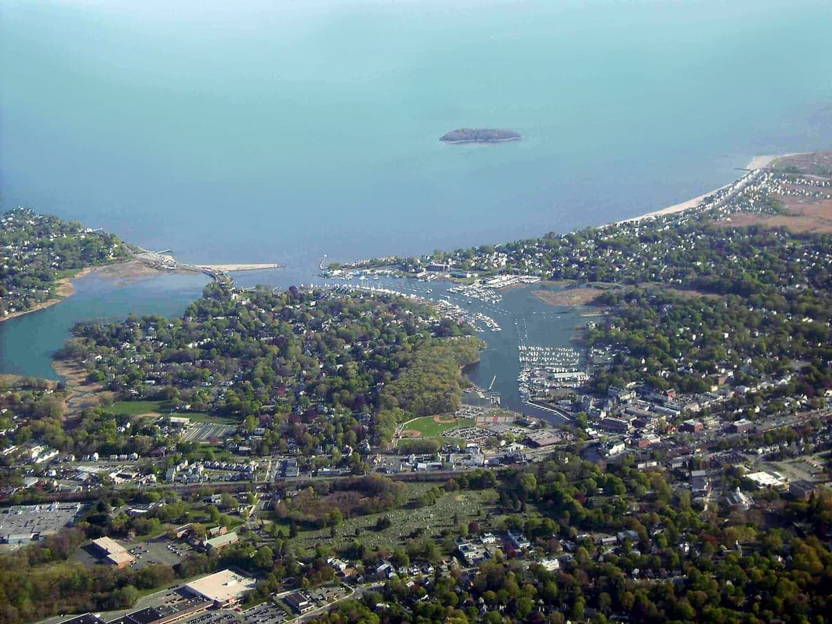
Photo: Wikipedia
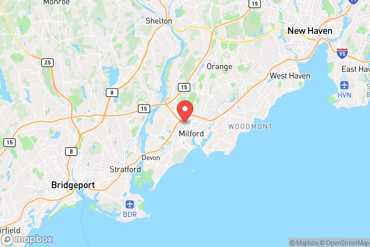
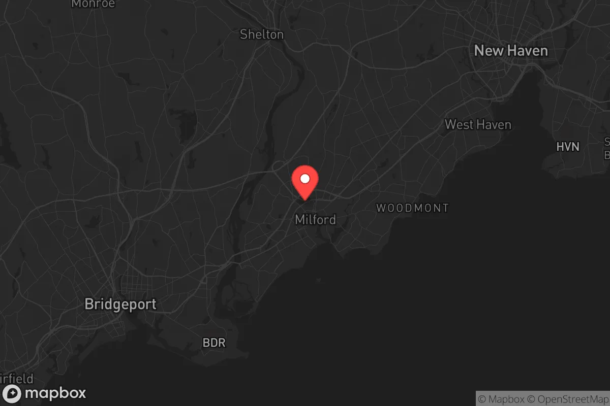
Strategic Assessment of Milford, CT
Multiple tactical vulnerabilities. Population density, target proximity, or disaster risk are likely compounding. A retreat property and exit planning is required.
What does the Strategic Assessment tell us?
Our Strategic Assessment grades tactical survivability of an area. Major population centers, military targets, fallout zones, natural disasters, and border exposure all drive risk — lower exposure means a more defensible position in a crisis.
This is heavily inspired by Joel Skousen's Strategic Relocation book. Highly recommended you checkout the book ($)What does this tell us?
Our Strategic Assessment grades tactical survivability of an area. Major population centers, military targets, fallout zones, natural disasters, and border exposure all drive risk — lower exposure means a more defensible position in a crisis.
This is heavily inspired by Joel Skousen's Strategic Relocation book. Highly recommended you checkout the book ($)Strategic Pillars

Key Distances
Regional Safe Places
Below is our recommended "safe zones" in Connecticut and the surrounding area based on our strategic heuristics. For most people, it's unrealistic to live in a “safe zone” full-time due to work, family or other personal reasons. They tend to be more rural. However, many of these areas are perfect for second homes and retreat properties that double as a vacation home or even a short-term rental.


Important Note: For informational purposes only. This does not mean nothing bad ever happens in the green zones. Please use common sense. This is based on public data and modeled with AI. We tried to take a conservative approach but mistakes happen. We update this regularly as new information becomes available.
Solar Generator Recommendations
Backup power matters more here than in safer locations. We've picked three solar generators across budgets and capacity tiers — start with the budget unit if you only need a few essentials, or step up if you want to run a fridge and HVAC for days at a time.

Jackery Portable Power Station Explorer 300
Budget OptionPower on the Go: Weighing only 11 lbs, it's convenient to set up and store with book-sized foldable solar panels

BLUETTI Portable Power Station AC180
Designed for both indoor and outdoor scenarios, AC180 is highly capable as it has a robost capacity and continuous output power.

EF ECOFLOW DELTA Pro Ultra Power Station
Upgraded PickEcoFlow DELTA Pro Ultra is a whole-home energy system designed to grow with your family. Integrated with the Smart Home Panel 2, it scales to meet your evolving energy needs — keeping your home powered, intelligent, and secure through every stage of life.
We earn a commission, at no additional cost to you.
Strategic Assessment Analysis
Milford, Connecticut, sits in a precarious but potentially workable position for the conservative prepper—close enough to New York City and New Haven to be a concern, yet far enough to offer a buffer that many coastal towns lack. Its location on Long Island Sound, combined with a robust town government and a history of weathering nor’easters, gives it a baseline resilience that appeals to those thinking about civic unrest and supply chain disruptions. However, the same proximity to major population centers that makes daily life convenient also introduces real strategic liabilities, especially for anyone serious about fallout zones, mass casualty events, or long-term societal breakdown.
Geographic position and natural advantages for long-term security
Milford’s geography is a double-edged sword, but the advantages are worth noting. The town sits at the mouth of the Housatonic River, giving residents access to fresh water and a navigable waterway that could serve as an alternative transport route if highways become clogged or contested. The coastline offers natural barriers—marshes, inlets, and the Sound itself—that slow overland movement from the south, which is a meaningful defensive consideration. The terrain is mostly flat to gently rolling, which is not ideal for retreating into hills, but it does mean that agriculture and gardening are feasible on small plots. The town’s 26 square miles include several parks and open spaces, like Silver Sands State Park and the Milford Point Coastal Center, which could serve as emergency food sources or rally points in a prolonged crisis. The climate is temperate, with reliable rainfall and a growing season long enough to support subsistence farming, though the soil is sandy in coastal areas and would require amendment. For a relocator, the key takeaway is that Milford has the raw natural resources—water, arable land, and defensible coastal geography—to support a small, organized community through a moderate disruption, but it lacks the deep inland forests or mountainous terrain that would make it a true redoubt.
Risks, exposures, and proximity to fallout-relevant landmarks
The biggest strategic weakness is Milford’s proximity to high-value targets. The town is roughly 50 miles from Midtown Manhattan, 10 miles from New Haven, and 15 miles from Bridgeport—all population centers that would be primary targets in a major conflict or terrorist event. The nearby Indian Point Energy Center (about 40 miles up the Hudson) is a decommissioned nuclear plant, but its spent fuel pools remain a contamination risk. More immediately, the I-95 corridor runs directly through Milford, and the Metro-North rail line connects the town to Grand Central Terminal. In a mass evacuation scenario, these routes would become impassable within hours, trapping residents who rely on them. The town’s coastal location also makes it vulnerable to storm surge from hurricanes, though the Sound’s geography mitigates the worst of open-ocean waves. For the prepper, the calculus is clear: Milford is not a bug-out location for a nationwide collapse. It is, however, a viable “gray man” location—a place where you can live a normal life while maintaining a low profile and a stockpile, as long as you have a secondary plan for the first 72 hours of a crisis. The risk of being caught in a mass casualty event is real, but it is lower than in Stamford or New Haven, and the town’s police and fire departments are well-funded and professional, which is a non-trivial advantage during localized unrest.
Practical resilience for a relocator: food, water, energy, and defensibility
For someone moving to Milford with a prepper mindset, the practicalities of daily resilience are mixed. The town’s water supply comes from the Milford Water Company, which draws from the Housatonic River and several reservoirs. In a grid-down scenario, the river is a reliable surface water source, but it requires filtration and treatment—the river carries agricultural runoff and upstream pollution. A well is not an option for most residential lots, so a Berkey filter or similar system is essential. Food security is better than in most suburbs: the town has a strong farmers’ market, several community gardens, and a handful of small farms in the northern part of town near the Orange border. The Milford Food Bank is active, but relying on it in a crisis is not a plan. For energy, the grid is typical of coastal Connecticut—vulnerable to storms but generally reliable. Solar panels are a good investment, but the town’s tree cover means not every roof gets full sun. Natural gas is widely available, which is a plus for cooking and heating during power outages)Skip. Defensibility is the weakest link. Milford is a dense suburb with a grid street pattern, making it hard to secure a perimeter. The best approach is to live in a neighborhood with a single access point, like the areas near the Wepawaug River or the older sections of town near the green. A rural property is not an option here; the trade-off is that you get community support and local knowledge in exchange for privacy. For a single individual or a family, the smart play is to build a network of like-minded neighbors—there are active prepper and homesteading groups in the New Haven area—and to store at least three months of supplies, with a focus on water filtration, medical gear, and ammunition for a reliable rifle. The town’s zoning allows for backyard chickens and small livestock, which is a significant advantage for long-term food production.
The overall strategic picture for Milford is one of calculated risk. It is not a survivalist paradise, and it never will be. But for a conservative relocator who wants to stay within striking distance of job markets in New York or Hartford while maintaining a credible level of preparedness, it offers a rare combination of natural resources, community infrastructure, and low profile. The key is to treat Milford as a base of operations, not a final redoubt. Have a bug-out vehicle prepped for a secondary location in the Berkshires or the Litchfield Hills, keep your OPSEC tight, and understand that the first 48 hours of any major event will be the most dangerous. If you can weather that window, Milford’s strengths—its water, its coastline, its people—become real assets. If you cannot, the I-95 corridor will become a death trap. Plan accordingly.
* Values derived from national, state, county, city and local statistics and may differ in a specific area. Last updated: 2026-04-28T15:03:10.000Z
Narrative content on this page is AI-generated and may contain mistakes. Verify any details that matter before acting on them.
ReloMaps may earn a commission from affiliate links at no extra cost to you.