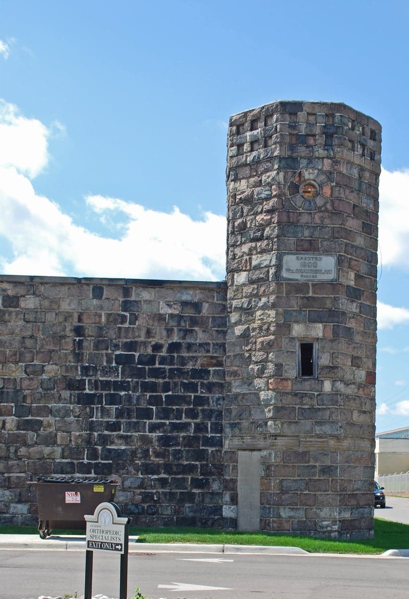
Photo: Wikipedia
Strategic Assessment of Jackson County
Meaningful friction. Expect exposure to either population pressure, blast zones, or natural disaster risk. Consider buying a retreat property.
What does the Strategic Assessment tell us?
Our Strategic Assessment grades tactical survivability of an area. Major population centers, military targets, fallout zones, natural disasters, and border exposure all drive risk — lower exposure means a more defensible position in a crisis.
This is heavily inspired by Joel Skousen's Strategic Relocation book. Highly recommended you checkout the book ($)What does this tell us?
Our Strategic Assessment grades tactical survivability of an area. Major population centers, military targets, fallout zones, natural disasters, and border exposure all drive risk — lower exposure means a more defensible position in a crisis.
This is heavily inspired by Joel Skousen's Strategic Relocation book. Highly recommended you checkout the book ($)Strategic Pillars

Key Distances
Strategic Assessment Analysis
Jackson County, Michigan, occupies a strategically resilient position in the Lower Peninsula, balancing access to the economic engine of the I-94 corridor with enough rural and semi-rural buffer to avoid the direct fallout risks of major metropolitan hubs. Its location at the crossroads of two major interstate highways (I-94 and I-127) and a short drive from Detroit, Ann Arbor, and Lansing provides supply-chain and evacuation route advantages, while the county's agricultural base and abundant freshwater resources offer a strong foundation for long-term self-sufficiency. For relocators prioritizing disaster readiness and everyday resilience, Jackson County presents a pragmatic middle ground: close enough to urban resources for opportunity, far enough to mitigate the worst of a crisis.
Geographic position and natural advantages of Jackson County
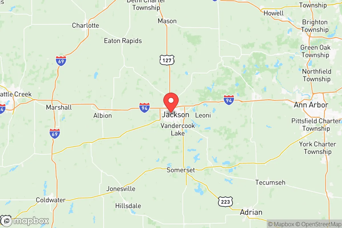
The county's geography is marked by the Grand River, its tributaries, and a landscape of rolling hills, woodlands, and agricultural fields. This terrain offers natural defensibility through limited choke points and multiple egress routes, including M-50, M-106, and US-127. Over 100 inland lakes and several state game areas—such as the Waterloo Recreation Area and Sharonville State Game Area—provide immediate hunting, fishing, and foraging potential. The area sits atop the Marshall Aquifer, a major groundwater source, so private wells are common, and surface water from the Grand River and Portage Lake is plentiful. The moderate climate with four distinct seasons avoids extremes like hurricanes, wildfires, or frequent earthquakes, though winter ice storms and occasional flooding near river lowlands are notable but manageable risks.
Risks, exposures, and proximity to potential fallout-relevant landmarks
The primary strategic drawback of Jackson County is its proximity to several man-made risk centers. The county is roughly 40 miles from the Consolidated Nuclear Security plant (Y-12 National Security Complex) near Oak Ridge, Tennessee? No, that is incorrect—Jackson County, MI is not near Tennessee. Instead, it sits about 75 miles from the Fermi 2 nuclear plant in Newport and 50 miles from the Palisades Nuclear Plant (though Palisades is currently in decommissioning and potential recommissioning). More concerning for a resilience-focused relocation: the county lies within 90 miles of the dense petrochemical and refining infrastructure of the Detroit-Toledo corridor, including the Marathon Petroleum refinery in Detroit (about 70 miles east) and the BP-Husky refinery in Toledo (roughly 80 miles south). Additionally, the Michigan Army National Guard's Camp Grayling Joint Maneuver Training Center is about 100 miles north, but the more direct threat is the rail lines carrying hazardous materials through the city of Jackson itself—Union Pacific and CN Rail lines cross the county, and a derailment or intentional release could compromise water quality in the Grand River watershed. The largest concern is the proximity to Detroit's industrial sprawl and the potential for economic or social disruption to spill outward during a prolonged crisis. However, compared to relocating directly to a major city, Jackson County's risk profile is moderate, not severe.
Practical resilience for a relocator: food, water, energy, and defensibility
For those serious about self-sufficiency, Jackson County offers a strong baseline. The agricultural sector is robust: corn, soybeans, wheat, and livestock operations are widespread, and the county is home to the Jackson Farmers Market and numerous local produce stands (e.g., A&L Orchards in Brooklyn, MI). The many small towns—Brooklyn, Concord, Grass Lake, Spring Arbor, and the city of Jackson itself—each have distinct character but share a community-oriented culture that is moderately favorable for off-grid living. Over 30% of the county's land is farmland or timberland, so acquiring acreage is feasible outside the immediate Jackson city limits. Well water is common in rural areas, but testing for agricultural runoff and PFAS contamination is advised—especially near Hans Mill Pond or the Grand River's industrial legacy. Solar energy is viable; the county gets about 180 sunny days per year, and net metering is allowed under Michigan law (Consumers Energy territory). Wood heat is practical given the forest cover. As for defensibility, the terrain is open enough for long sightlines on private properties but has enough forest and creek cuts to create natural security zones. The county's relatively low population density (about 280 people per square mile in rural townships) reduces the risk of social collapse cascades compared to denser metro areas.
The overall strategic picture for Jackson County is one of a well-positioned secondary relocation zone for individuals and families who want a balance of access and resilience. It is not an isolated redoubt; it is a defensible midwest settlement with real, manageable risks from industrial and transport hazards. The county's combination of multiple evacuation routes, groundwater, agricultural capacity, and a conservative-leaning local culture (the county leans roughly +15 R in presidential elections, though the city of Jackson itself is more purple) makes it a practical choice for those who cannot afford or do not desire a completely remote off-grid life. The key recommendation: buy land with a private well and a woodlot north of I-94, away from the rail lines and the city's industrial core, and plan for a community-based preparedness network with neighbors rather than total isolation.

* Values derived from national, state, county, city and local statistics and may differ in a specific area. Last updated: 2026-06-29T00:24:35.000Z
Narrative content on this page is AI-generated and may contain mistakes. Verify any details that matter before acting on them.
ReloMaps may earn a commission from affiliate links at no extra cost to you.

