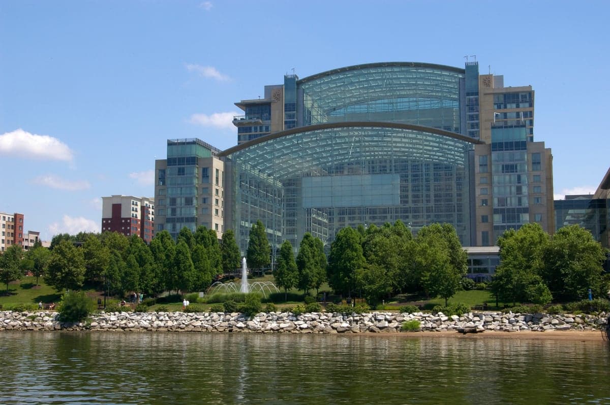
Photo: Wikipedia
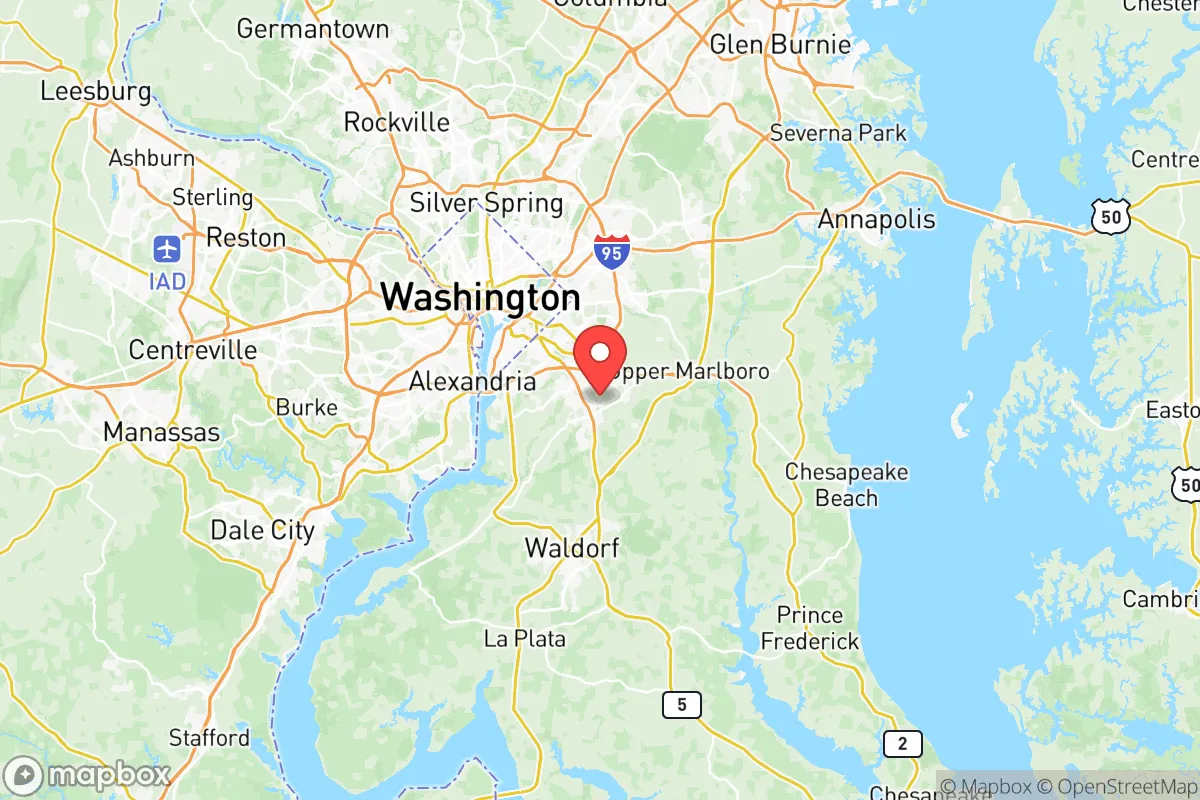
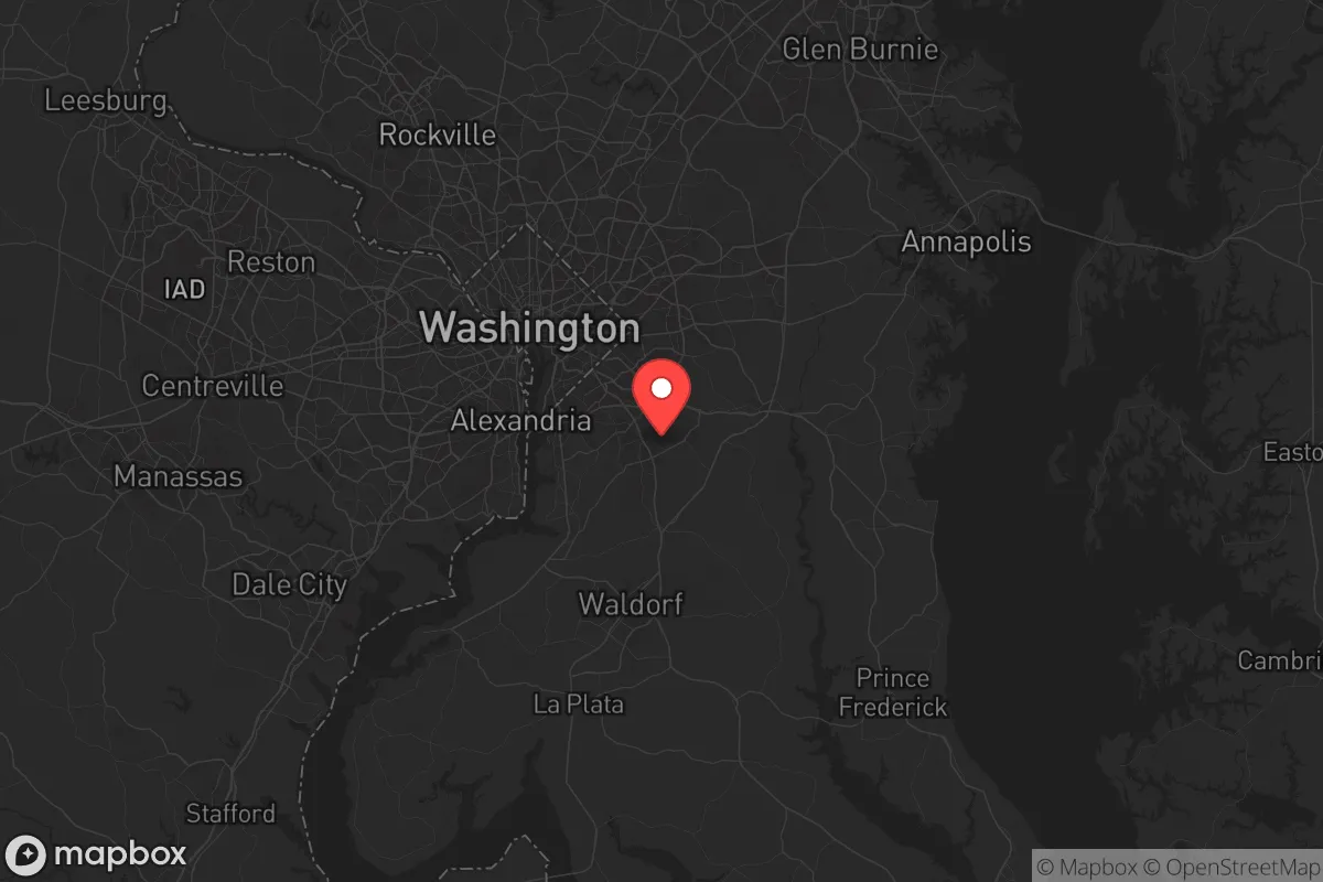
Demographics of Prince Georges County
Affluence Level in Prince Georges County
A middle-class area roughly in line with national averages across income, home values, education, and employment.
People of Prince Georges County
Prince George’s County, Maryland, is a majority-Black suburban powerhouse of 955,584 residents, defined by its deep-rooted African American middle class, rapidly diversifying Hispanic and immigrant communities, and a political identity that leans strongly Democratic. The county is the wealthiest majority-Black jurisdiction in the United States, with a median household income exceeding $90,000, yet it also contains stark contrasts between established Black suburbs, growing Latino enclaves, and historically white rural pockets. Its population is 59.0% Black, 21.7% Hispanic, 11.1% white, 2.6% East/Southeast Asian, and 1.3% Indian subcontinent, with 14.1% foreign-born and 36.1% college-educated.
Settlement & growth (pre-1960)
Before European colonization, the area now known as Prince George’s County was inhabited by the Piscataway people, an Algonquian-speaking nation whose villages lined the Potomac and Patuxent rivers. English settlers from southern Maryland and Virginia began arriving in the 1650s, drawn by tobacco-friendly soil and the Chesapeake tidewater economy. The county was formally established in 1696, carved from Calvert and Charles counties, and named for Prince George of Denmark. By the mid-1700s, the population was a mix of English gentry, indentured servants, and enslaved Africans who formed the backbone of the tobacco plantation system. Towns like Upper Marlboro (the county seat, founded 1706) and Bladensburg (founded 1742) emerged as tobacco inspection ports and market centers.
After the American Revolution, the plantation economy declined, and the county’s enslaved population grew as tobacco exhausted the soil. By 1860, enslaved people made up roughly 60% of the county’s population. The Civil War and emancipation transformed the demographic landscape: freed African Americans established independent farming communities and small towns such as Fairmount Heights (one of the first incorporated Black municipalities in Maryland, 1900) and North Brentwood (the first incorporated Black town in Prince George’s, 1924). These enclaves were part of a broader pattern of Black settlement in the county’s rural eastern and southern sections, where land was cheaper and white resistance less intense.
The 20th century brought suburbanization. The federal government’s expansion during the New Deal and World War II drew white middle-class families from Washington, D.C., into new subdivisions in Hyattsville, College Park, and Mount Rainier. These were almost exclusively white communities, enforced by restrictive covenants and redlining. The 1950s saw explosive growth: the county’s population tripled between 1940 and 1960, from 89,000 to 357,000, as the Beltway (I-495) and the Washington Metro system began to shape commuter patterns. This wave was overwhelmingly white, native-born, and drawn by affordable housing and proximity to federal jobs.
Modern era (post-1965)
The 1965 Hart-Cellar Act and the Fair Housing Act of 1968 fundamentally reshaped Prince George’s County. As white flight accelerated from Washington, D.C., in the 1970s and 1980s, Black middle-class families—many of them federal employees, teachers, and professionals—moved into formerly white suburbs like Bowie, Largo, and Mitchellville. By 1980, the county was 37% Black; by 1990, it was 51% Black. This rapid racial transition was one of the fastest in American history, driven by blockbusting, white panic selling, and the pent-up demand of Black families seeking better schools and larger homes. Today, Bowie (population 58,000) is the largest city in the county and a symbol of Black suburban affluence, with a median household income over $110,000.
Hispanic immigration began in earnest in the 1990s and accelerated after 2000. The county’s Hispanic share grew from 4% in 1990 to 21.7% today. The largest groups are Salvadorans, Guatemalans, and Mexicans, many drawn by construction, landscaping, and service jobs in the Washington metro area. The primary enclave is Langley Park, a densely populated unincorporated area near the University of Maryland where over 60% of residents are Hispanic. Smaller but growing Hispanic communities exist in Riverdale Park, Chillum, and Adelphi. These neighborhoods are characterized by Central American restaurants, bodegas, and Spanish-language churches, and they have become entry points for newer immigrants.
East/Southeast Asian communities (2.6% of the population) are smaller but concentrated. Greenbelt and College Park have notable Vietnamese and Korean populations, many connected to the University of Maryland and federal research institutions. The Indian subcontinent community (1.3%) is more dispersed, with clusters in Beltsville and Laurel, often working in technology and healthcare. The white population has declined sharply, from over 80% in 1970 to 11.1% today, and is now concentrated in older suburbs like University Park and Berwyn Heights, as well as the rural southern tip of the county around Accokeek and Brandywine.
The future
Prince George’s County is becoming more diverse, not less, but the diversity is layered rather than blended. The Black population, while still the majority, is aging and slowly declining as a share, from 64% in 2010 to 59% today. Hispanic growth is the primary driver of population change, and projections suggest the county could be 30% Hispanic by 2040. The white population appears to have stabilized at around 11%, with some in-migration of younger, college-educated whites drawn to transit-oriented developments in Hyattsville and College Park. The East/Southeast Asian and Indian communities are growing modestly but remain small compared to neighboring Montgomery County.
The county is not homogenizing; rather, it is tribalizing into distinct enclaves. Langley Park will likely remain a dense, working-class Hispanic gateway, while Bowie and Mitchellville solidify as Black upper-middle-class suburbs. The rural south—Accokeek, Brandywine, and Clinton—retains a mix of Black and white families on larger lots, but is facing development pressure from the expanding Washington exurbs. The next 10-20 years will likely see continued Hispanic growth, gradual Black decline as a share, and a modest increase in white and Asian populations near Metro stations and the University of Maryland. The county’s cultural identity will remain predominantly Black, but with a growing Latino and immigrant inflection that is reshaping schools, churches, and local politics.
For someone moving in now, Prince George’s County offers a rare combination: a majority-Black jurisdiction with genuine political power, strong public schools in some areas, and proximity to Washington, D.C., at lower housing costs than neighboring counties. The trade-off is a fragmented social landscape where race, class, and immigration status often determine which neighborhood feels like home. It is a place of distinct communities rather than a melting pot, and newcomers should expect to find their niche rather than a unified county identity.
* Values derived from national, state, county, city and local statistics and may differ in a specific area. Last updated: 2026-05-12T13:50:00.000Z
Narrative content on this page is AI-generated and may contain mistakes. Verify any details that matter before acting on them.
ReloMaps may earn a commission from affiliate links at no extra cost to you.