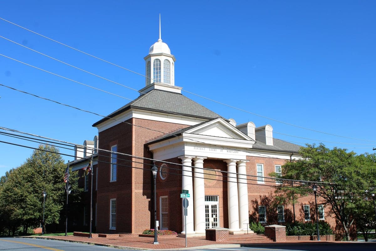
Photo: Wikipedia
Strategic Assessment of Carroll County
Meaningful friction. Expect exposure to either population pressure, blast zones, or natural disaster risk. Consider buying a retreat property.
What does the Strategic Assessment tell us?
Our Strategic Assessment grades tactical survivability of an area. Major population centers, military targets, fallout zones, natural disasters, and border exposure all drive risk — lower exposure means a more defensible position in a crisis.
This is heavily inspired by Joel Skousen's Strategic Relocation book. Highly recommended you checkout the book ($)What does this tell us?
Our Strategic Assessment grades tactical survivability of an area. Major population centers, military targets, fallout zones, natural disasters, and border exposure all drive risk — lower exposure means a more defensible position in a crisis.
This is heavily inspired by Joel Skousen's Strategic Relocation book. Highly recommended you checkout the book ($)Strategic Pillars

Key Distances
Strategic Assessment Analysis
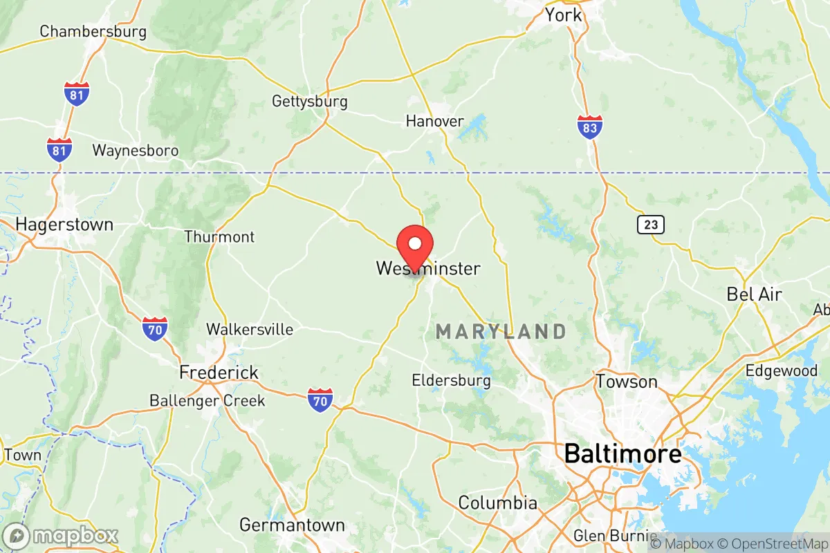
Carroll County, Maryland, offers a compelling blend of rural character and strategic positioning that appeals to relocators prioritizing resilience and self-sufficiency. Located roughly 30 miles northwest of Baltimore and 60 miles from Washington, D.C., the county provides a buffer from the immediate fallout zones of major metropolitan targets while maintaining access to critical supply chains. Its rolling hills, agricultural base, and lower population density—approximately 175,000 residents spread over 450 square miles—create a defensible geography that is neither isolated nor exposed. For a family or individual thinking seriously about disaster readiness, Carroll County represents a calculated middle ground: close enough to urban resources but far enough from the blast radius.
Geographic position and natural advantages for long-term stability
Carroll County sits atop the Piedmont Plateau, a region characterized by well-drained soils, moderate elevation, and a temperate climate that avoids the worst of coastal storm surges and inland flooding. The county's highest point, near Union Bridge, reaches roughly 1,000 feet, offering natural vantage points and reducing vulnerability to riverine flooding that plagues lower-lying areas. The presence of the Liberty and Prettyboy Reservoirs, part of Baltimore's water system, provides a significant freshwater resource within the county's borders, though access is managed by the city. The Monocacy River forms part of the western boundary, offering additional water sources and natural barriers. Unlike the flat, flood-prone Eastern Shore or the congested I-95 corridor, Carroll County's topography and land use patterns support decentralized living, with numerous small towns—Westminster, Mount Airy, Sykesville, and Manchester—each functioning as semi-independent nodes with local services and infrastructure.
Risks, exposures, and proximity to fallout-relevant landmarks
While Carroll County avoids the direct blast effects of a strike on Washington or Baltimore, its position within the National Capital Region means it lies within plausible fallout patterns from a high-yield ground burst targeting the federal government or the Port of Baltimore. The county is roughly 40 miles from Fort Meade, a major NSA and cyber command hub, and 50 miles from the Baltimore Harbor Tunnel and the Sparrows Point industrial complex, both high-value targets. Prevailing winds from the west-southwest would carry fallout from a D.C. strike toward the northeast, potentially sparing Carroll County, but a Baltimore-targeted event could push contamination into southern and eastern portions of the county. Natural risks are comparatively low: the area experiences occasional severe thunderstorms, minor tornadoes (EF-0 to EF-1), and winter ice storms, but no significant earthquake, wildfire, or hurricane threats. The county's primary man-made risk is its reliance on the Baltimore-Washington power grid and fuel supply lines, which could be disrupted by cyberattacks or physical sabotage at regional substations.
Practical resilience for a relocator: food, water, energy, and defensibility
Carroll County's agricultural heritage is a tangible asset for self-sufficiency. The county ranks among Maryland's top producers of corn, soybeans, and poultry, with hundreds of working farms and direct-to-consumer markets like the Westminster Farmers Market and numerous roadside stands. For a relocator, this means local food production is not theoretical—it is operational. Water access varies by property; rural lots typically rely on private wells, which offer independence from municipal systems but require testing and maintenance. Properties near the Liberty Reservoir or along the Patapsco River have surface water options, though legal access may be restricted. Energy resilience is mixed: the county has seen growing interest in solar installations, and many farms already use backup generators, but natural gas is the dominant heating fuel, and the grid is aging. Defensibility is aided by the county's road network, which includes numerous secondary roads and rural lanes that can be monitored or blocked if necessary, though the area is not easily fortified against a determined threat. The presence of multiple small police departments and a well-regarded sheriff's office provides a baseline of security, but residents should not rely on rapid emergency response in a widespread crisis.
The overall strategic picture for Carroll County is one of moderate resilience with clear trade-offs. It offers a genuine rural buffer from the highest-risk urban targets, a functioning agricultural economy, and a community culture that still values self-reliance and neighborly cooperation. However, it is not a remote retreat—it is within the sphere of influence of two major metropolitan areas, and its infrastructure is tied to regional systems that could fail under stress. For a relocator who wants to be prepared without moving to the mountains of West Virginia or the plains of the Midwest, Carroll County provides a realistic option: close enough to matter, far enough to survive, and grounded enough to sustain a family through disruption.

* Values derived from national, state, county, city and local statistics and may differ in a specific area. Last updated: 2026-07-12T11:39:13.000Z
Narrative content on this page is AI-generated and may contain mistakes. Verify any details that matter before acting on them.
ReloMaps may earn a commission from affiliate links at no extra cost to you.

