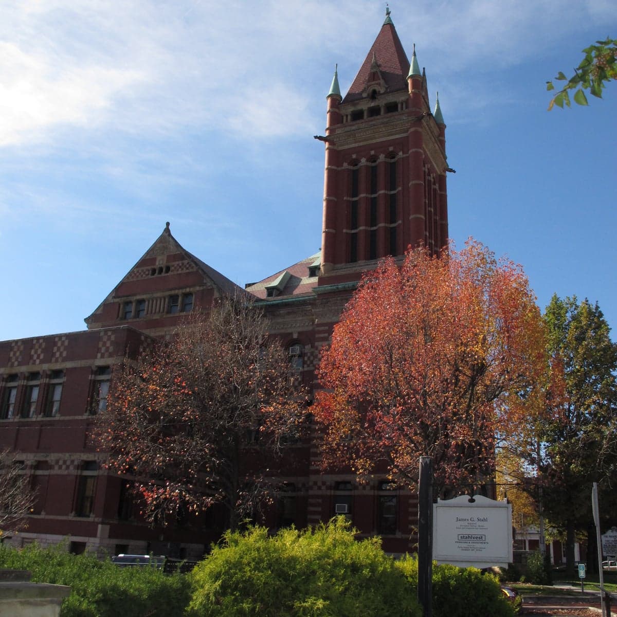
Photo: Wikipedia
Strategic Assessment of Allegany County
Meaningful friction. Expect exposure to either population pressure, blast zones, or natural disaster risk. Consider buying a retreat property.
What does the Strategic Assessment tell us?
Our Strategic Assessment grades tactical survivability of an area. Major population centers, military targets, fallout zones, natural disasters, and border exposure all drive risk — lower exposure means a more defensible position in a crisis.
This is heavily inspired by Joel Skousen's Strategic Relocation book. Highly recommended you checkout the book ($)What does this tell us?
Our Strategic Assessment grades tactical survivability of an area. Major population centers, military targets, fallout zones, natural disasters, and border exposure all drive risk — lower exposure means a more defensible position in a crisis.
This is heavily inspired by Joel Skousen's Strategic Relocation book. Highly recommended you checkout the book ($)Strategic Pillars

Key Distances
Strategic Assessment Analysis
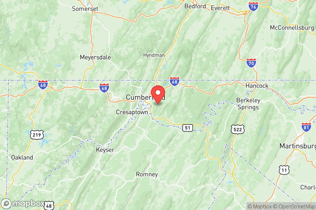
Allegany County, Maryland, offers a compelling strategic profile for those prioritizing resilience and self-sufficiency, blending the protective isolation of the Appalachian Mountains with a surprisingly robust local infrastructure. Its location, roughly 130 miles west of Baltimore and 150 miles northwest of Washington, D.C., places it outside the immediate blast and fallout zones of major metropolitan targets, while still providing access to regional supply chains and healthcare. The county’s historical role as a transportation and industrial corridor—anchored by the city of Cumberland—means it retains a functional backbone of rail, highway, and energy assets that many similarly rural areas lack, making it a viable long-term relocation option for families and individuals seeking a buffer from national-scale disruptions.
Geographic position and natural advantages for long-term security
Allegany County’s geography is its primary strategic asset. The county sits within the Ridge-and-Valley Appalachians, a terrain of steep, forested ridges and narrow valleys that naturally channel movement and provide significant visual and physical screening. The primary population center, Cumberland, lies in a bowl-shaped valley at the confluence of Wills Creek and the North Branch Potomac River, but the surrounding ridges—such as Haystack Mountain, Wills Mountain, and Dans Mountain—create a layered defensive topography. This rugged landscape makes large-scale, rapid ingress difficult and offers numerous defensible positions for small communities or individual homesteads. The county is also part of the larger Appalachian forest corridor, which provides abundant timber for fuel and construction, as well as diverse wildlife for hunting. Critically, the area is not situated near any major nuclear power plants (the closest, the Three Mile Island plant in Pennsylvania, is over 100 miles away) or high-value strategic targets like the nation’s capital or major military command centers. The nearest significant military installation is the U.S. Army’s Fort Detrick in Frederick, about 70 miles east, which is a biodefense research hub but not a primary nuclear target. This distance from high-consequence zones is a major positive for a relocator focused on fallout avoidance.
Risk exposure: natural hazards and proximity to fallout-relevant landmarks
While Allegany County is insulated from many man-made risks, it is not without its own vulnerabilities. The primary natural hazard is flooding, particularly in the low-lying areas of Cumberland and along the Potomac River and its tributaries. The county has experienced several significant flood events, including the 1985 flood that devastated parts of the city, and climate models suggest an increased frequency of heavy precipitation events. Landslides are also a concern on the steep, unstable slopes of the ridges, especially after heavy rain or snowmelt. From a man-made risk perspective, the county’s location is a double-edged sword. While far from major cities, it sits within a corridor that includes the Interstate 68 and U.S. Route 40 corridors, which are primary east-west arteries. In a crisis, these roads could become congested with evacuees from the Baltimore-Washington metropolitan area, potentially creating a chokepoint at the Cumberland Narrows. Furthermore, the county is within 100 miles of the Fort Detrick biodefense facility and the Three Mile Island nuclear plant (though the latter is now decommissioned, its spent fuel remains on-site). The Piney Point Lighthouse area on the Potomac, while not a direct threat, is a known historical landmark but not a strategic target. The most significant fallout-relevant landmark is the CSX Transportation rail yard in Cumberland, a major hub for hazardous materials (including chlorine, ammonia, and petroleum products) moving through the region. A derailment or accident at this facility could pose a localized chemical hazard, but it is not a target for a strategic strike. Overall, the county’s risk profile is moderate, with natural hazards being the more immediate concern than man-made disasters.
Practical resilience for a relocator: food, water, energy, and defensibility
For a relocator serious about self-sufficiency, Allegany County offers a mixed but generally favorable picture. Water is abundant: the county sits atop the Potomac River Basin, with numerous springs, streams, and groundwater aquifers. The North Branch Potomac River and its tributaries provide a reliable surface water source, and many rural properties have access to private wells. However, water quality can be an issue in areas with legacy mining (coal and limestone), so well testing is essential. Food production is limited by the mountainous terrain and relatively short growing season (Zone 6a/6b), but the county has a strong tradition of small-scale agriculture, with farmers’ markets in Cumberland, Frostburg, and Lonaconing. The Allegany County Agricultural Center in Cumberland supports local growers, and the surrounding region includes the fertile Potomac River Valley to the east, which offers better soil for larger-scale production. For long-term food security, a relocator would need to rely on a combination of gardening, hunting (deer, turkey, small game), and foraging (mushrooms, berries, ramps). Energy is a relative strength: the county is served by FirstEnergy (Potomac Edison) for electricity, but the grid is vulnerable to storm-related outages. However, the area has a growing interest in solar and small-scale hydro, and the forested ridges offer ample biomass for wood heat. The Allegany County Landfill near Cumberland also generates methane for energy, though this is not a household-level resource. Defensibility is the county’s standout feature. The narrow valleys, steep ridges, and limited road network (primarily I-68, U.S. 220, and MD 36) create natural chokepoints. A small, well-organized community could effectively control access to its area, especially in the more remote western and northern parts of the county, such as the George’s Creek Valley near Lonaconing or the Fifteen Mile Creek area near Oldtown. The county’s low population density (about 70 people per square mile) and strong hunting culture mean that many residents are already familiar with firearms and outdoor survival skills, which is a social asset in a crisis scenario.
In the final strategic assessment, Allegany County presents a strong option for a relocator who values geographic isolation, abundant natural resources, and a functional local economy, but who is also willing to accept a moderate level of natural hazard risk and the potential for temporary infrastructure disruptions. Its distance from high-value targets and its defensible terrain make it a far more resilient choice than suburban or exurban locations closer to the I-95 corridor. The county’s historical identity as a self-reliant, working-class region—with towns like Frostburg, Westernport, and Barton—means that the social fabric is already oriented toward mutual aid and practical skills, rather than the transient, service-based culture of larger cities. For a family or individual seeking a place to ride out a long-term disruption, Allegany County offers a realistic balance of security and sustainability, provided they are prepared for the realities of mountain living: steep roads, limited public transit, and a climate that demands serious winter preparedness. It is not a prepper’s fantasy, but a genuine, livable option for those who think strategically about where they put down roots.

* Values derived from national, state, county, city and local statistics and may differ in a specific area. Last updated: 2026-09-27T19:00:51.000Z
Narrative content on this page is AI-generated and may contain mistakes. Verify any details that matter before acting on them.
ReloMaps may earn a commission from affiliate links at no extra cost to you.

