Photo: Wikipedia
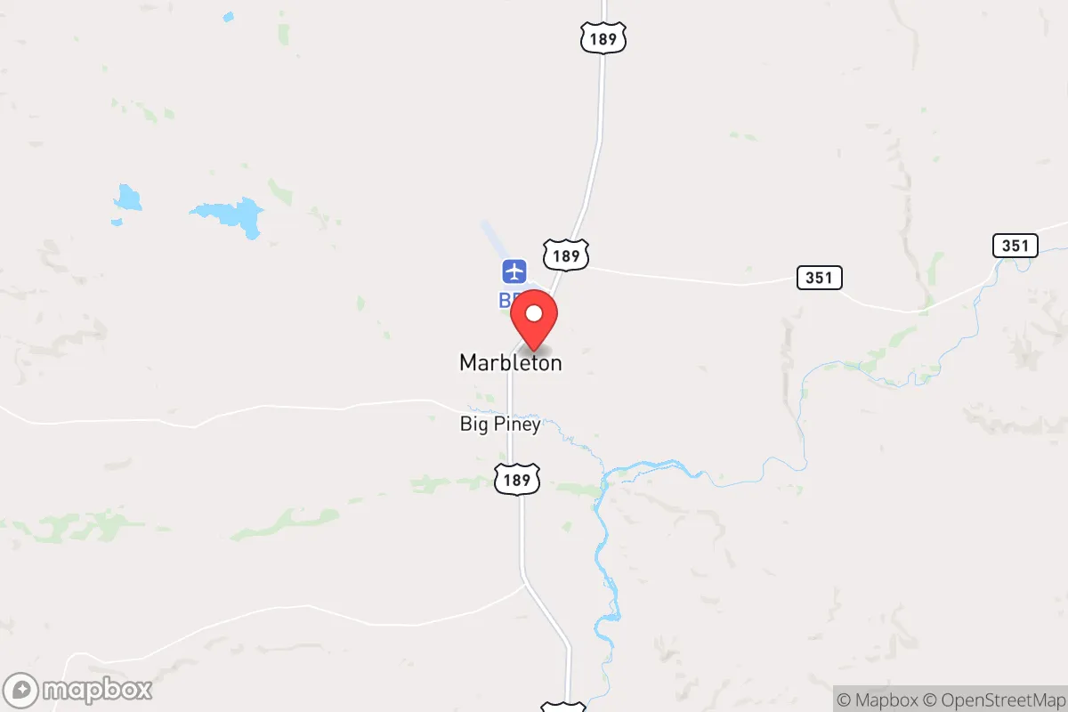
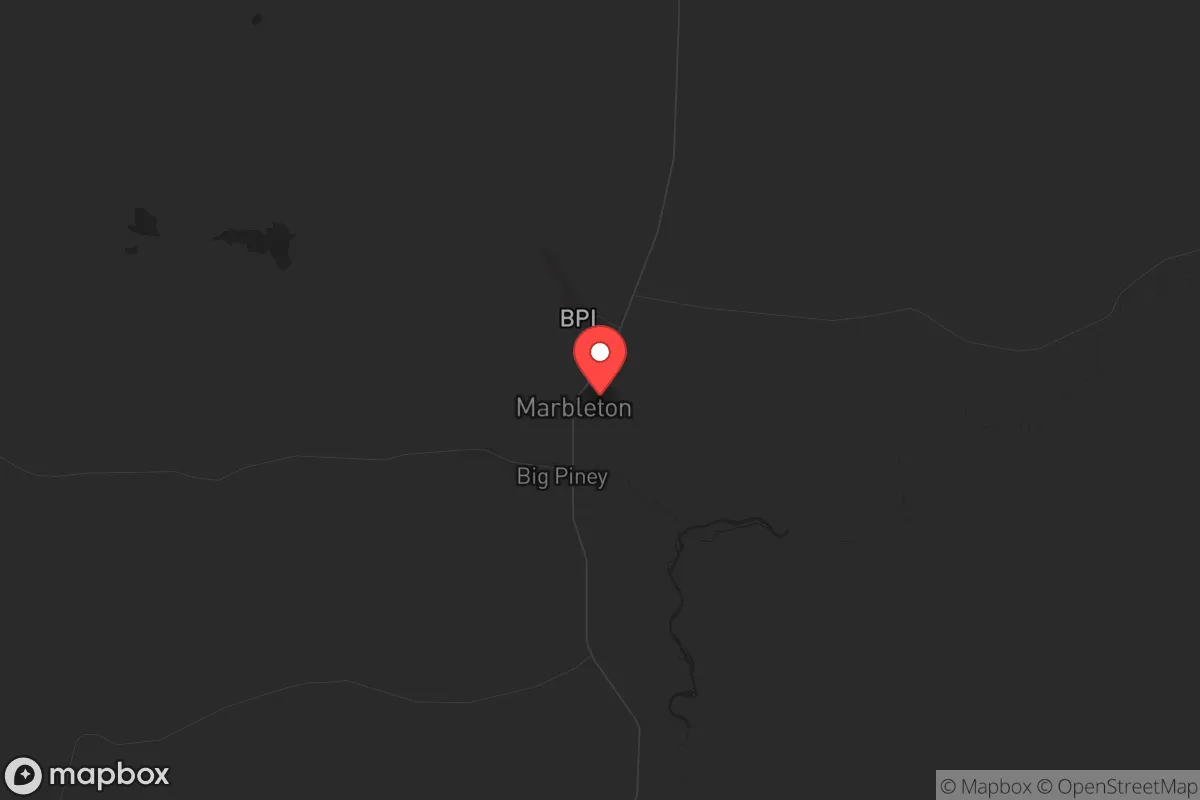
Strategic Assessment of Marbleton, WY
Strong survivability profile. Good buffer from population centers, with manageable environmental and tactical risks.
What does the Strategic Assessment tell us?
Our Strategic Assessment grades tactical survivability of an area. Major population centers, military targets, fallout zones, natural disasters, and border exposure all drive risk — lower exposure means a more defensible position in a crisis.
This is heavily inspired by Joel Skousen's Strategic Relocation book. Highly recommended you checkout the book ($)What does this tell us?
Our Strategic Assessment grades tactical survivability of an area. Major population centers, military targets, fallout zones, natural disasters, and border exposure all drive risk — lower exposure means a more defensible position in a crisis.
This is heavily inspired by Joel Skousen's Strategic Relocation book. Highly recommended you checkout the book ($)Strategic Pillars

Key Distances
Regional Safe Places
Below is our recommended "safe zones" in Wyoming and the surrounding area based on our strategic heuristics. For most people, it's unrealistic to live in a “safe zone” full-time due to work, family or other personal reasons. They tend to be more rural. However, many of these areas are perfect for second homes and retreat properties that double as a vacation home or even a short-term rental.
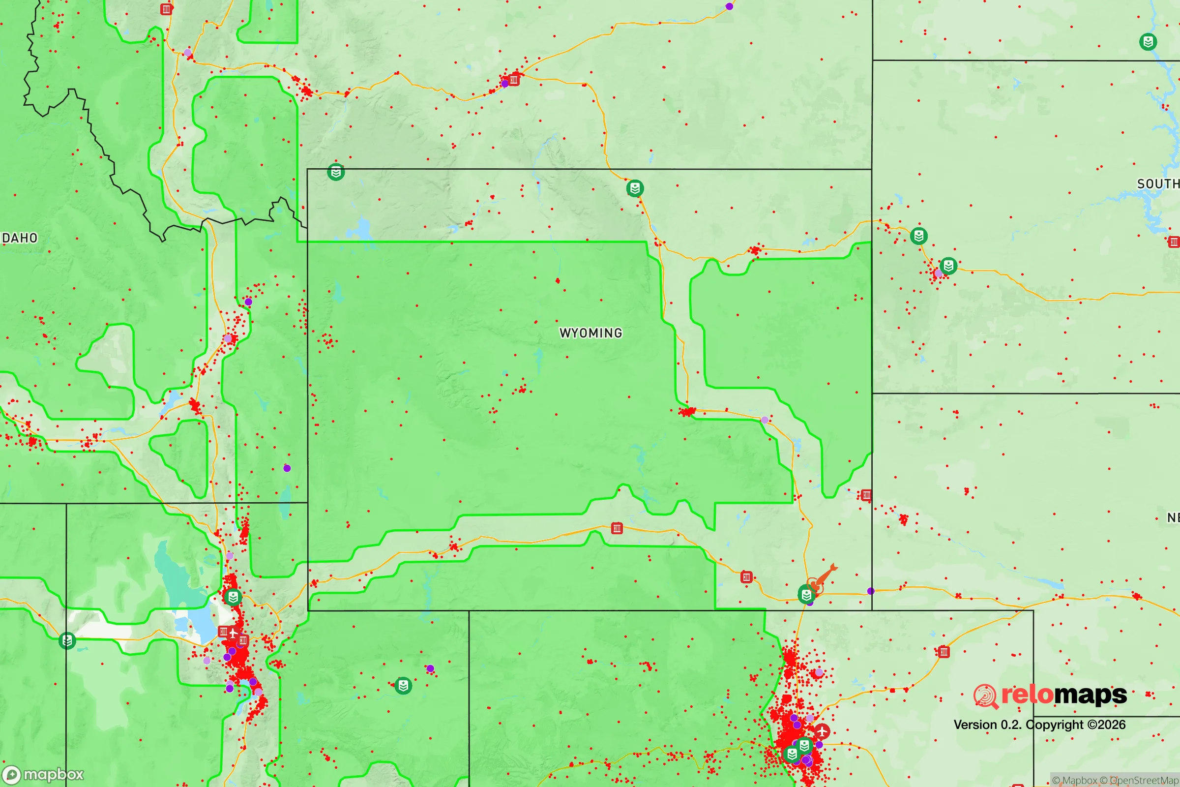
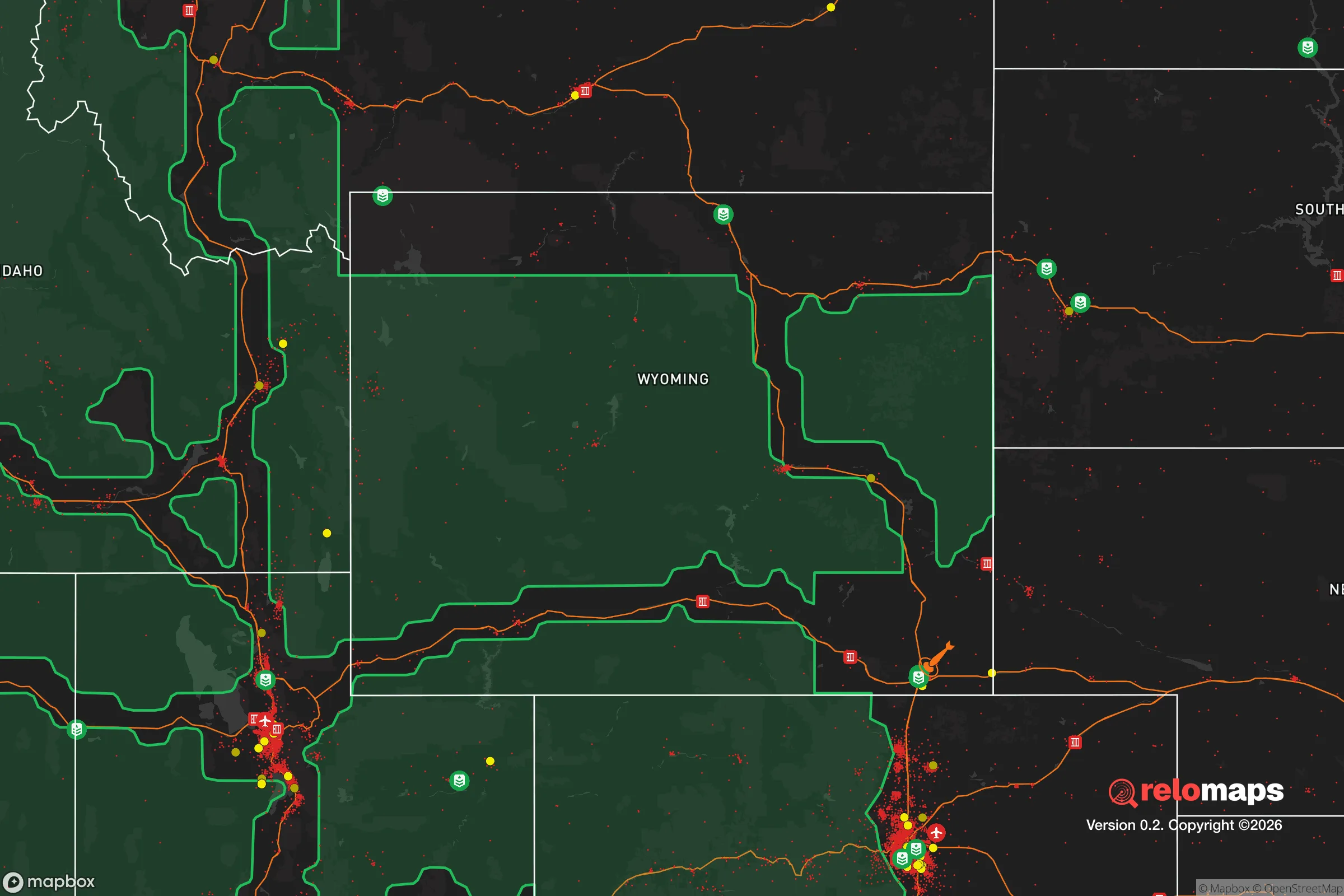
Important Note: For informational purposes only. This does not mean nothing bad ever happens in the green zones. Please use common sense. This is based on public data and modeled with AI. We tried to take a conservative approach but mistakes happen. We update this regularly as new information becomes available.
Solar Generator Recommendations
Backup power matters more here than in safer locations. We've picked three solar generators across budgets and capacity tiers — start with the budget unit if you only need a few essentials, or step up if you want to run a fridge and HVAC for days at a time.

Jackery Portable Power Station Explorer 300
Budget OptionPower on the Go: Weighing only 11 lbs, it's convenient to set up and store with book-sized foldable solar panels

BLUETTI Portable Power Station AC180
Designed for both indoor and outdoor scenarios, AC180 is highly capable as it has a robost capacity and continuous output power.

EF ECOFLOW DELTA Pro Ultra Power Station
Upgraded PickEcoFlow DELTA Pro Ultra is a whole-home energy system designed to grow with your family. Integrated with the Smart Home Panel 2, it scales to meet your evolving energy needs — keeping your home powered, intelligent, and secure through every stage of life.
We earn a commission, at no additional cost to you.
Strategic Assessment Analysis
Marbleton, Wyoming, offers a compelling strategic position for those prioritizing resilience and self-sufficiency, sitting at the intersection of the Green River Valley and the Wyoming Range. This small town, with a population under 1,200, provides a buffer from the chaos of urban centers while maintaining access to critical infrastructure along U.S. Highway 189. Its location in Sublette County places it in one of the most sparsely populated regions in the lower 48, with a population density of roughly 2 people per square mile, which inherently reduces exposure to mass casualty events and civic unrest that often concentrate in denser areas.
Geographic position and natural advantages for long-term security
Marbleton’s geography is its primary asset. The town sits at an elevation of 6,800 feet, surrounded by the Bridger-Teton National Forest and the Wyoming Range, creating natural barriers that limit easy access for large groups. The Green River, which flows just west of town, provides a reliable freshwater source—critical for any long-term survival scenario. The area’s cold, semi-arid climate means fewer vectors for disease and less reliance on complex supply chains for basic needs. The nearby Wind River Range to the east offers rugged terrain that could serve as a fallback position if needed, while the open sagebrush steppe to the south provides clear lines of sight for security. For a relocator, this means a defensible position with natural resources that don’t depend on fragile urban infrastructure.
Risks, exposures, and proximity to fallout-relevant landmarks
No location is without risk, and Marbleton has specific exposures worth weighing. The town is roughly 70 miles from the Idaho National Laboratory (INL) near Idaho Falls, a major nuclear research facility that could be a target in a conflict or suffer a catastrophic accident. Prevailing winds from the west mean fallout from INL could reach the area within hours, though the distance and mountainous terrain offer some dispersion. Additionally, the Jonah Field and Pinedale Anticline natural gas operations, located within 20 miles, present industrial hazards—well blowouts, pipeline ruptures, or intentional sabotage could disrupt local energy supplies. The town’s proximity to the Green River Basin also means it lies in a seismically active zone, though major quakes are rare. For the prepper, these risks are manageable with proper planning—stockpiling potassium iodide, maintaining a sealed shelter, and diversifying energy sources—but they cannot be ignored.
Practical resilience for a relocator: food, water, energy, and defensibility
For a relocator focused on practical resilience, Marbleton scores well on the basics. Water is abundant—the Green River and local aquifers provide year-round supply, though treatment is necessary due to agricultural runoff and natural mineral content. Food production is viable with a short growing season (90–100 frost-free days), but cold-hardy crops like potatoes, kale, and root vegetables thrive, and the surrounding BLM land supports livestock grazing. Local hunting for mule deer, elk, and pronghorn is excellent, with Wyoming Game and Fish issuing ample tags. Energy independence is achievable—solar panels work despite winter cloud cover, and small-scale wind turbines are effective given the area’s consistent winds. Wood heating is practical with national forest access for firewood permits. Defensibility is strong due to the town’s layout: a single main road (US-189) with limited side routes, surrounded by open terrain that makes approach detection easy. The nearest significant population center is Rock Springs (50 miles south), which could become a source of refugees during unrest, but the distance and limited road network act as natural filters. The local sheriff’s office in Sublette County is small but responsive, and the community’s culture of self-reliance means neighbors are likely to cooperate rather than compete in a crisis.
The overall strategic picture for Marbleton is one of calculated trade-offs. It offers a strong foundation for those willing to accept isolation, harsh winters, and industrial proximity risks in exchange for water security, defensible terrain, and low population density. For a conservative-leaning relocator concerned with the state of the country—whether from economic collapse, political unrest, or environmental disasters—this area provides a realistic base for long-term survival without the fantasy of total self-sufficiency. The key is preparation: stockpile supplies for winter road closures, invest in water filtration and backup power, and build relationships with local ranchers and outfitters. Marbleton isn’t a bug-out location; it’s a live-in location where resilience is built through daily practice, not just gear. If you’re serious about stepping away from the grid and the risks of urban life, this valley deserves a hard look.
* Values derived from national, state, county, city and local statistics and may differ in a specific area. Last updated: 2026-04-21T11:24:42.000Z
Narrative content on this page is AI-generated and may contain mistakes. Verify any details that matter before acting on them.
ReloMaps may earn a commission from affiliate links at no extra cost to you.