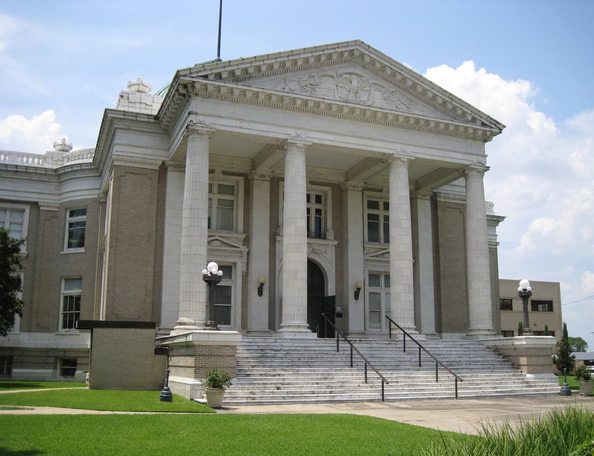
Photo: Wikipedia
Strategic Assessment of Calcasieu County
Meaningful friction. Expect exposure to either population pressure, blast zones, or natural disaster risk. Consider buying a retreat property.
What does the Strategic Assessment tell us?
Our Strategic Assessment grades tactical survivability of an area. Major population centers, military targets, fallout zones, natural disasters, and border exposure all drive risk — lower exposure means a more defensible position in a crisis.
This is heavily inspired by Joel Skousen's Strategic Relocation book. Highly recommended you checkout the book ($)What does this tell us?
Our Strategic Assessment grades tactical survivability of an area. Major population centers, military targets, fallout zones, natural disasters, and border exposure all drive risk — lower exposure means a more defensible position in a crisis.
This is heavily inspired by Joel Skousen's Strategic Relocation book. Highly recommended you checkout the book ($)Strategic Pillars

Key Distances
Strategic Assessment Analysis
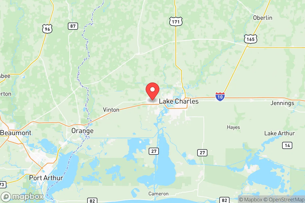
Calcasieu County, Louisiana, offers a compelling strategic position for relocators prioritizing resilience, anchored by the city of Lake Charles and its surrounding communities like Sulphur, Westlake, and Moss Bluff. The area’s primary advantage is its location roughly 60 miles from the Gulf of Mexico, placing it outside the immediate blast and fallout zones of major metropolitan targets like Houston (170 miles west) and New Orleans (200 miles east), while still providing access to critical infrastructure. The county’s economic backbone—the Port of Lake Charles and the region’s extensive petrochemical and liquefied natural gas (LNG) facilities—creates a double-edged sword: it offers local energy independence and job stability, but also introduces significant man-made risk exposure that any serious relocator must weigh against the area’s natural defensibility.
Geographic position and natural advantages for long-term stability
Calcasieu County sits within the southwestern corner of Louisiana, a region defined by the Calcasieu River and its network of bayous, marshes, and the Calcasieu Ship Channel. This geography provides a natural buffer against the sprawl of the Houston metro area, which is the nearest major population center and a high-priority target in any contingency scenario. The county’s terrain is predominantly flat coastal plain, but the presence of the river and surrounding wetlands offers a degree of natural defensibility—movement through the area is channeled along a few major highways (Interstate 10 and U.S. Route 171), which can be monitored or controlled more easily than the grid networks of larger cities. The climate is humid subtropical, with a long growing season of roughly 250 days, which supports year-round food production for those with the land and knowledge to cultivate it. The area’s water resources are abundant: the Calcasieu River and numerous aquifers provide a reliable freshwater supply, a critical advantage over arid regions where water scarcity is a growing concern. For a relocator, this means the basic inputs for long-term self-sufficiency—water, arable land, and moderate climate—are present, though they require active management against flooding and hurricane risks.
Risk exposure: natural disasters and proximity to fallout-relevant landmarks
The most significant risk to Calcasieu County is its vulnerability to hurricanes and tropical storms, as demonstrated by Hurricanes Laura (2020) and Delta (2020), which caused catastrophic damage to Lake Charles and surrounding areas. The county lies in a high-risk hurricane zone, and storm surge from the Gulf can push up the Calcasieu Ship Channel, threatening low-lying communities like Cameron Parish to the south. Flooding is a recurring hazard, particularly in areas near the river and bayous, and the region’s flat topography offers little natural drainage. Beyond weather, the county’s concentration of industrial facilities—including the Citgo refinery in Sulphur, the Sasol chemicals plant in Westlake, and multiple LNG export terminals along the ship channel—presents a man-made risk. These sites are potential targets for sabotage or collateral damage in a broader conflict, and a major incident at one could release toxic chemicals or cause fires that affect a wide radius. The proximity to the Chennault International Airport, a former Air Force base now used for industrial and aerospace operations, adds another layer of risk as a potential secondary target. For a relocator, the key takeaway is that while the county is far enough from Houston and New Orleans to avoid their direct fallout zones, the local industrial infrastructure creates its own hazard profile that requires situational awareness and a pre-planned evacuation route south or east, away from the refineries.
Practical resilience for a relocator: food, water, energy, and defensibility
Calcasieu County offers strong practical resilience in several domains, particularly energy and water. The region is a net exporter of electricity and natural gas, meaning that even during grid disruptions, local power generation from plants like the Entergy Nelson Station in Westlake can be prioritized for critical infrastructure. Natural gas is abundant and relatively cheap, making it feasible for relocators to install backup generators or propane systems for long-term off-grid capability. The Calcasieu River and the Chicot Aquifer provide a deep, reliable freshwater source, though relocators should plan for well installation or rainwater catchment to ensure independence during municipal water outages. Food resilience is moderate: the area has a strong agricultural base in rice, soybeans, and cattle, with local farmers’ markets and roadside stands in places like Iowa, Louisiana, and Vinton. However, the county’s reliance on imported goods via I-10 means that supply chain disruptions could affect grocery availability within a week or two. Defensibility is mixed—the flat terrain offers few natural chokepoints, but the network of bayous and the river itself can be used to create perimeter barriers for a properly situated homestead. The rural areas north of Lake Charles, around DeQuincy and Starks, offer more seclusion and lower population density, making them preferable for relocators seeking to avoid the potential chaos of a city-center collapse. The local culture, rooted in Cajun and Creole traditions, emphasizes community self-reliance, hunting, and fishing, which aligns well with a preparedness mindset.
Overall, Calcasieu County presents a viable strategic option for the relocator who values energy independence and water abundance but is willing to accept the trade-offs of hurricane risk and proximity to industrial targets. The area’s greatest strength is its position as a secondary hub—close enough to the Gulf’s resources and the Port of Lake Charles’s logistical network to support a self-sufficient lifestyle, yet far enough from primary targets like Houston to avoid the worst of a major event’s fallout. The key is to choose a location carefully: avoid the flood zones near the ship channel and the industrial corridor between Sulphur and Westlake, and instead focus on the higher ground and more defensible terrain north of Lake Charles, around Moss Bluff or Gillis. With a solid plan for hurricane hardening, a backup water source, and a community network of like-minded neighbors, Calcasieu County can serve as a resilient base for long-term stability in an uncertain future.

* Values derived from national, state, county, city and local statistics and may differ in a specific area. Last updated: 2026-06-16T22:17:10.000Z
Narrative content on this page is AI-generated and may contain mistakes. Verify any details that matter before acting on them.
ReloMaps may earn a commission from affiliate links at no extra cost to you.

