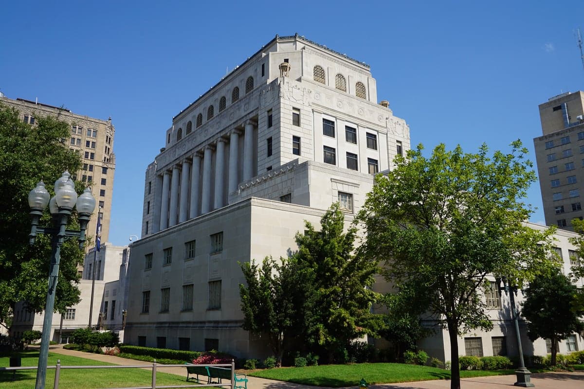
Photo: Wikipedia
Strategic Assessment of Caddo County
Workable tactical position. Some exposure to population density or targets, but generally defensible in a crisis.
What does the Strategic Assessment tell us?
Our Strategic Assessment grades tactical survivability of an area. Major population centers, military targets, fallout zones, natural disasters, and border exposure all drive risk — lower exposure means a more defensible position in a crisis.
This is heavily inspired by Joel Skousen's Strategic Relocation book. Highly recommended you checkout the book ($)What does this tell us?
Our Strategic Assessment grades tactical survivability of an area. Major population centers, military targets, fallout zones, natural disasters, and border exposure all drive risk — lower exposure means a more defensible position in a crisis.
This is heavily inspired by Joel Skousen's Strategic Relocation book. Highly recommended you checkout the book ($)Strategic Pillars

Key Distances
Strategic Assessment Analysis
Caddo County, Louisiana, presents a complex strategic picture for the relocation-minded reader, balancing genuine geographic resilience with significant exposure to both natural and man-made risks. Located in the far northwestern corner of the state, the area offers a degree of separation from the hurricane-prone Gulf Coast and the sprawling industrial corridors of the Deep South, while still sitting within a region marked by major energy infrastructure and military activity. For those prioritizing self-sufficiency and disaster readiness, Caddo County demands a clear-eyed assessment of its advantages and vulnerabilities, particularly given its proximity to the city of Shreveport and the broader Ark-La-Tex region.
Geographic position and natural advantages for long-term stability
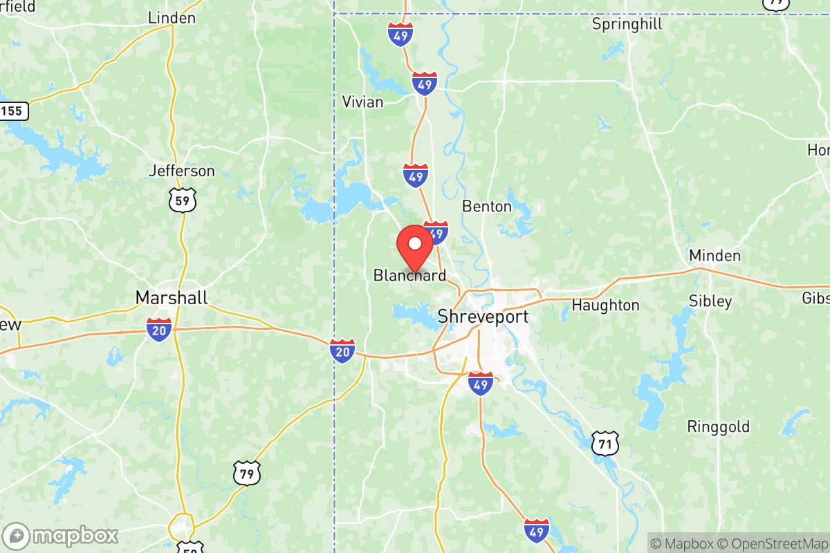
Caddo County’s primary strategic asset is its location. Situated roughly 300 miles inland from the Gulf of Mexico, the area is far less exposed to the catastrophic storm surge and wind damage that plague coastal parishes. The county’s terrain is a mix of rolling pine hills, hardwood forests, and bottomland along the Red River, offering natural defensibility and ample water resources. The Red River itself, along with Cross Lake and Caddo Lake, provides a reliable surface water supply, a critical factor for long-term self-sufficiency. The county’s position at the intersection of Interstate 20 and Interstate 49 also offers logistical advantages for supply movement, though this same connectivity can be a liability in a crisis. The climate is humid subtropical, with hot summers and mild winters, supporting a long growing season for food production. For a relocator, the ability to cultivate crops year-round is a tangible resilience benefit, especially compared to northern states with shorter growing windows.
Risk exposure: proximity to Shreveport, refineries, and military infrastructure
The most significant strategic drawback of Caddo County is its proximity to Shreveport, the region’s economic and population hub. While Shreveport itself is not a major metropolitan area by national standards (population roughly 190,000 within the city, 400,000 in the metro), it concentrates risks that a relocator must weigh. The city is home to the Barksdale Air Force Base, a major installation housing the 2nd Bomb Wing and a significant portion of the U.S. nuclear bomber fleet. This makes Caddo County a potential target in any large-scale conflict, a reality that cannot be ignored. Additionally, the area sits near the Haynesville Shale natural gas field, one of the largest in the U.S., with numerous processing plants and pipelines crisscrossing the county. The Calumet Shreveport refinery and other petrochemical facilities along the Red River corridor present a secondary risk of industrial accidents or targeted disruption. While not as dense as Houston’s refinery corridor, the concentration of energy infrastructure within 20 miles of downtown Shreveport means that a relocator choosing a rural parcel in southern or eastern Caddo Parish (the county’s official designation) can achieve meaningful distance from these hazards. Flooding is a recurring natural risk, particularly along the Red River and its tributaries, with the Flat River and Twelve Mile Bayou prone to overflow during heavy rains. The county’s tornado risk is moderate, typical for the region, but not a primary concern compared to the man-made exposures.
Practical resilience for a relocator: food, water, energy, and defensibility
For a relocator serious about self-sufficiency, Caddo County offers a mixed but workable foundation. Water availability is strong: the county sits atop the Carrizo-Wilcox aquifer, a major groundwater source, and surface water from Cross Lake and Caddo Lake is abundant. Well drilling is common in rural areas, and many properties already have private wells. Food production potential is high: the growing season runs from March to November, and the soil in the river bottoms is fertile. Local farmers’ markets in Shreveport, Blanchard, and Vivian provide current supply chains, but a relocator should plan to establish their own garden and possibly small livestock operations. The county is not a major agricultural exporter, so reliance on local grocery stores for long-term food security is unwise. Energy resilience is a concern: the grid is tied to the regional SWEPCO system, which has experienced weather-related outages. Solar potential is moderate, with roughly 4.5 peak sun hours per day, making off-grid solar a viable but not exceptional option. Natural gas is widely available in populated areas, but rural properties may rely on propane. Defensibility varies dramatically by location: the western part of the county, near the Texas border and the town of Greenwood, offers more remote, wooded parcels with good natural cover. The eastern side, closer to the Red River and the city of Bossier City, is more developed and less defensible. The ideal strategic parcel would be a minimum of 15-20 miles from Shreveport’s city limits, preferably in the southern or western rural areas, with good road access that can be controlled. The county’s population density is low outside the Shreveport metro, which reduces competition for resources in a crisis but also means fewer neighbors for mutual support.
The overall strategic picture for Caddo County is one of calculated trade-offs. It offers genuine advantages in water availability, agricultural potential, and distance from coastal hurricane zones, making it a viable option for a relocator seeking a moderate-risk, moderate-reward location in the South. However, the presence of Barksdale Air Force Base and the concentration of energy infrastructure in the Shreveport area introduce a level of man-made risk that cannot be fully mitigated by choosing a rural parcel. For a reader with a slightly conservative leaning who values self-reliance and preparedness, Caddo County is a defensible choice if they are willing to accept the proximity to a military target and invest in off-grid water and energy systems. The key is to avoid the immediate Shreveport suburbs and instead focus on the county’s more remote southern and western reaches, where the balance of risk and resilience tilts more favorably. It is not a sanctuary, but it is a place where a prepared individual can build a sustainable, long-term position with careful planning.

* Values derived from national, state, county, city and local statistics and may differ in a specific area. Last updated: 2026-07-06T11:58:07.000Z
Narrative content on this page is AI-generated and may contain mistakes. Verify any details that matter before acting on them.
ReloMaps may earn a commission from affiliate links at no extra cost to you.

