 Popular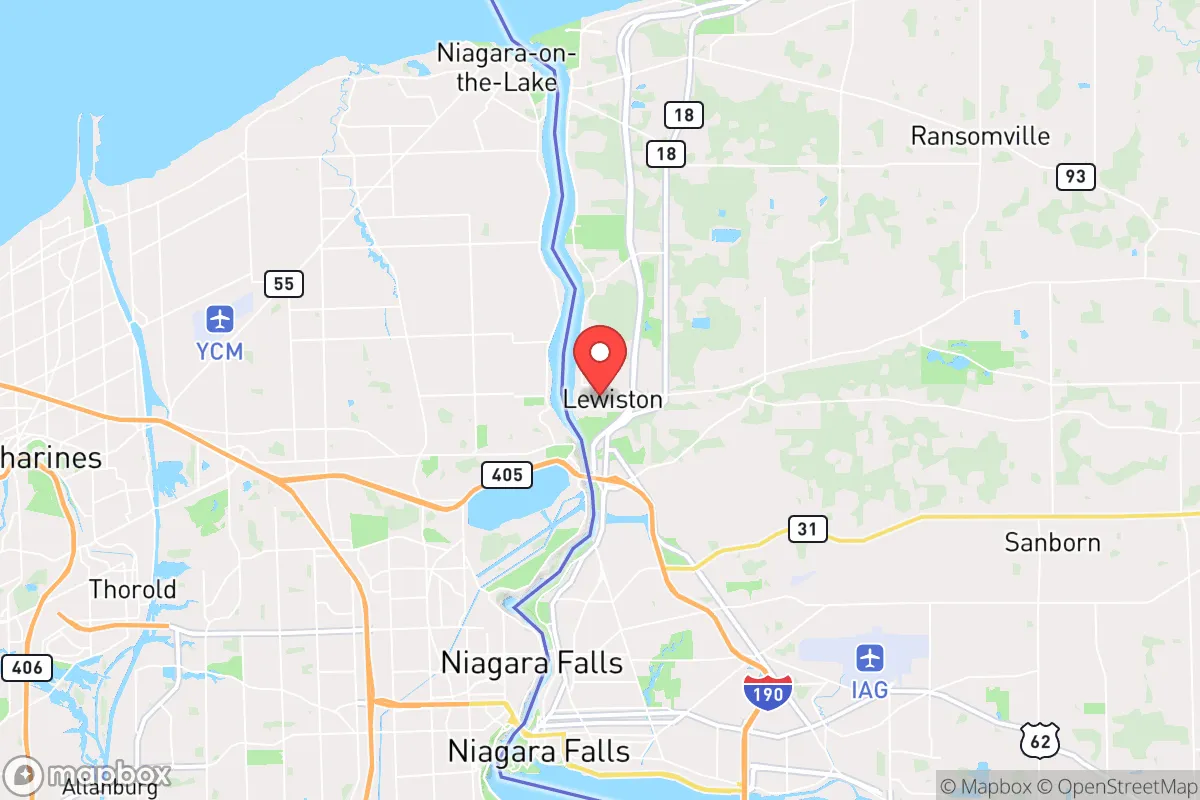
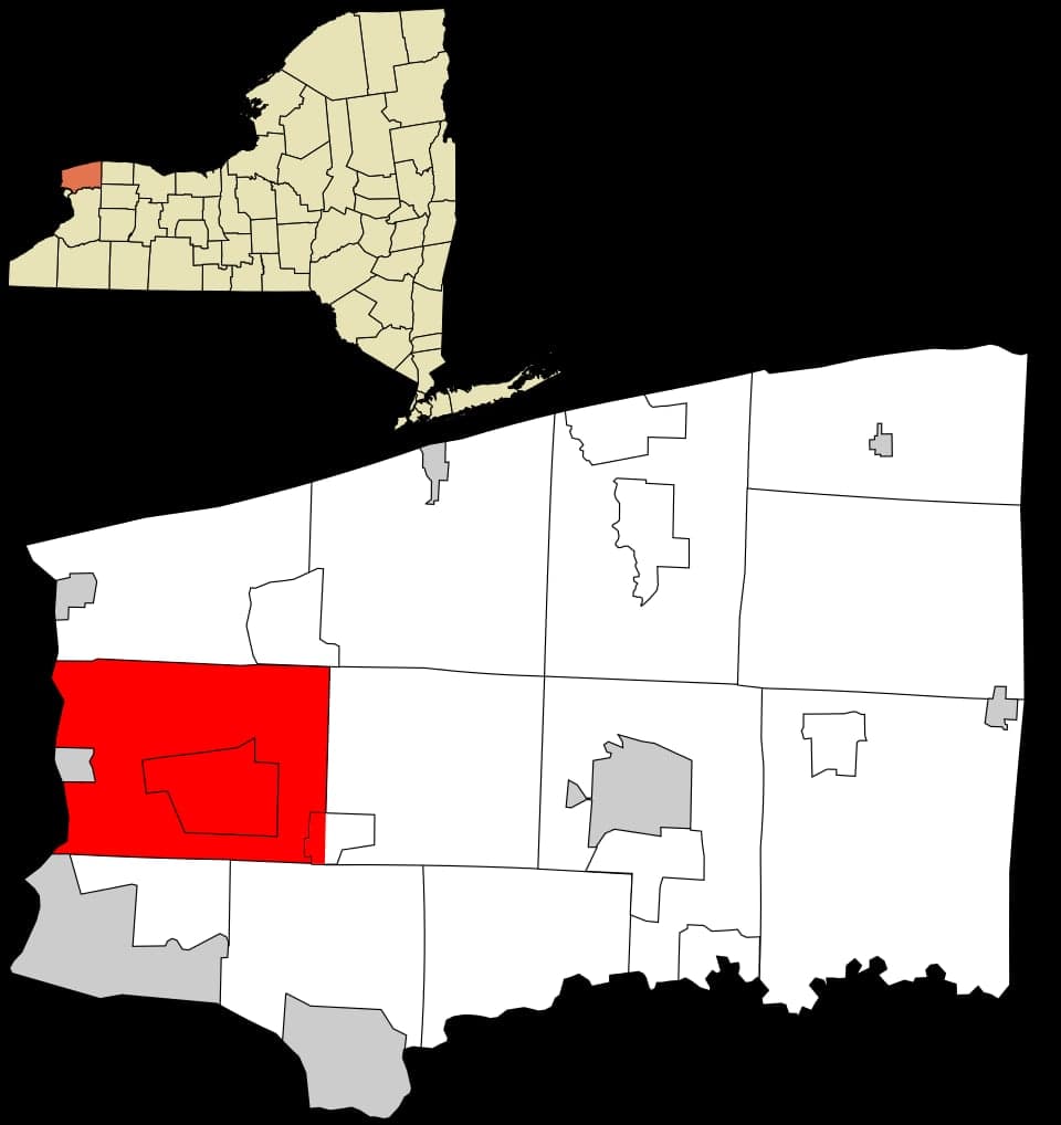
Photo: Wikipedia
Strategic Assessment of Lewiston, NY
Multiple tactical vulnerabilities. Population density, target proximity, or disaster risk are likely compounding. A retreat property and exit planning is required.
What does the Strategic Assessment tell us?
Our Strategic Assessment grades tactical survivability of an area. Major population centers, military targets, fallout zones, natural disasters, and border exposure all drive risk — lower exposure means a more defensible position in a crisis.
This is heavily inspired by Joel Skousen's Strategic Relocation book. Highly recommended you checkout the book ($)What does this tell us?
Our Strategic Assessment grades tactical survivability of an area. Major population centers, military targets, fallout zones, natural disasters, and border exposure all drive risk — lower exposure means a more defensible position in a crisis.
This is heavily inspired by Joel Skousen's Strategic Relocation book. Highly recommended you checkout the book ($)Strategic Pillars

Key Distances
Regional Safe Places
Below is our recommended "safe zones" in New York and the surrounding area based on our strategic heuristics. For most people, it's unrealistic to live in a “safe zone” full-time due to work, family or other personal reasons. They tend to be more rural. However, many of these areas are perfect for second homes and retreat properties that double as a vacation home or even a short-term rental.




Important Note: For informational purposes only. This does not mean nothing bad ever happens in the green zones. Please use common sense. This is based on public data and modeled with AI. We tried to take a conservative approach but mistakes happen. We update this regularly as new information becomes available.
Solar Generator Recommendations
Backup power matters more here than in safer locations. We've picked three solar generators across budgets and capacity tiers — start with the budget unit if you only need a few essentials, or step up if you want to run a fridge and HVAC for days at a time.

Jackery Portable Power Station Explorer 300
Budget OptionPower on the Go: Weighing only 11 lbs, it's convenient to set up and store with book-sized foldable solar panels

BLUETTI Portable Power Station AC180
Designed for both indoor and outdoor scenarios, AC180 is highly capable as it has a robost capacity and continuous output power.

EF ECOFLOW DELTA Pro Ultra Power Station
Upgraded PickEcoFlow DELTA Pro Ultra is a whole-home energy system designed to grow with your family. Integrated with the Smart Home Panel 2, it scales to meet your evolving energy needs — keeping your home powered, intelligent, and secure through every stage of life.
We earn a commission, at no additional cost to you.
Strategic Assessment Analysis
Lewiston, New York, offers a surprisingly strong strategic position for the relocator prioritizing resilience and self-sufficiency, provided you understand its specific trade-offs. Sitting on the eastern bank of the Niagara River just a few miles north of Niagara Falls, this village of roughly 15,000 people benefits from a location that is simultaneously remote from major urban chaos yet critically connected to essential infrastructure. Its primary advantages are a reliable, abundant freshwater source and a position that is geographically buffered from the most severe fallout risks associated with the nearby Buffalo-Niagara metro area, though proximity to the Niagara Power Project and the international border introduces distinct man-made vulnerabilities that require sober assessment.
Geographic position and natural advantages for long-term stability
Lewiston’s most significant natural asset is its location on the Niagara River, which provides a virtually inexhaustible supply of fresh, flowing water—a resource that becomes paramount in any prolonged disruption. The river is not a stagnant reservoir; it is a high-volume, constantly moving system fed by the Great Lakes, making it far less susceptible to local contamination or drought than inland wells or smaller creeks. The surrounding terrain is relatively flat and fertile, part of the Niagara Escarpment region, which supports local agriculture and small-scale farming. The village itself sits on a plateau above the river gorge, offering a modest elevation advantage that provides natural drainage and reduces flood risk from the river itself. The climate, while featuring harsh Lake Effect snow in winter, also ensures consistent annual precipitation, which is a net positive for water table recharge and off-grid water collection. For a relocator, the ability to draw water from the Niagara River (with proper filtration) and the presence of ample undeveloped land in nearby towns like Youngstown and Porter offer realistic options for establishing a defensible, self-sufficient homestead within a 15-minute drive of the village core.
Risks, exposures, and proximity to fallout-relevant landmarks
The most serious man-made risk in Lewiston’s vicinity is the Niagara Power Project, one of the largest hydroelectric facilities in the United States, located just south of the village along the Niagara River. While the plant itself is a hardened, well-guarded critical infrastructure asset, its presence makes Lewiston a potential secondary target or a zone of interest in any conflict scenario involving the U.S.-Canada border. The Robert Moses Niagara Power Plant and the Lewiston Pump-Generating Plant are massive, visible structures that sit directly on the river, and a conventional or cyber attack on the grid could cause cascading failures. Additionally, Lewiston is less than 10 miles from the Buffalo Niagara International Airport and the Buffalo-Niagara Falls metro area (population ~1.1 million), which places it within the moderate fallout zone for a hypothetical nuclear detonation over downtown Buffalo. Prevailing winds in this region are from the west and southwest, meaning fallout from a Buffalo strike would likely drift northeast, away from Lewiston, but a ground burst over the power project or the Niagara Falls air base could deposit contamination directly over the village. The international border itself is a double-edged sword: it provides a potential evacuation route into Canada (via the Lewiston-Queenston Bridge), but also means the area could see military checkpoints, border closures, or refugee flows during a crisis. Natural risks are comparatively low: no significant earthquake or hurricane threats, though severe winter storms can isolate the village for 24-48 hours, and the Lake Effect snow belt can drop 100+ inches annually, which is a logistical challenge for off-grid heating and travel.
Practical resilience for a relocator: food, water, energy, and defensibility
For the relocator serious about self-sufficiency, Lewiston’s practical resilience profile is mixed but workable. Water security is excellent: the Niagara River is a Class A water source, and with a simple gravity-fed filter system (e.g., Berkey or Sawyer), a household can secure drinking water indefinitely. The village’s municipal water system draws from the river, but a well on the escarpment is also viable in many areas. Food production is feasible but requires effort. The growing season is short (roughly May to October), but the fertile silt-loam soils of the Niagara region support robust vegetable gardens, and local farmers’ markets in Lewiston and nearby Lockport provide access to bulk grains, honey, and livestock. The area has a strong hunting and fishing culture—deer, turkey, and waterfowl are abundant, and the river offers walleye, bass, and trout. However, energy resilience is a weak point. The grid is heavily dependent on the Niagara Power Project, and while the region has not experienced prolonged blackouts, winter storms can knock out power for days. Solar is viable but winter production is low; a backup generator with stored fuel or a wood stove for heating is essential. Defensibility is moderate. Lewiston is a compact, walkable village with a grid-like street pattern, which is not ideal for perimeter defense. However, the surrounding rural towns (Porter, Cambria) offer larger parcels with natural chokepoints—wooded ridges, creek crossings, and limited road access. The village itself has a small, active police force and a community that is generally tight-knit, which aids in mutual aid scenarios. The presence of the Tuscarora Indian Reservation just east of the village adds a layer of complexity; the Nation has its own governance and security, and relationships with the local community are generally positive, but a relocator should understand the jurisdictional boundaries and respect tribal sovereignty.
The overall strategic picture for Lewiston is that of a moderate-resilience location with a strong water advantage and a manageable risk profile, provided you are willing to invest in winterization, backup power, and a defensible rural property within a 15-minute drive of the village. It is not a remote mountain redoubt—you will be within 30 minutes of a major metro area and a critical national power asset—but it is far enough from the urban core to avoid the worst of civil unrest or fallout from a Buffalo strike. The international border adds both opportunity and risk; the ability to cross into Canada could be a lifeline or a liability depending on the scenario. For the relocator who values access to fresh water, a stable community, and the ability to produce food locally, Lewiston is a viable option. Just be honest about the trade-offs: you are trading absolute isolation for proximity to resources, and you must harden your home against winter and grid failure. If that calculus works for you, this stretch of the Niagara River offers a defensible, water-secure base that few other locations in the Northeast can match.

* Values derived from national, state, county, city and local statistics and may differ in a specific area. Last updated: 2026-08-22T14:52:43.000Z
Narrative content on this page is AI-generated and may contain mistakes. Verify any details that matter before acting on them.
ReloMaps may earn a commission from affiliate links at no extra cost to you.

