Photo: Wikipedia
Demographics of Lawton, OK
Affluence Level in Lawton, OK
A below-average socioeconomic profile. Incomes, home values, and educational attainment trail the U.S., with higher poverty and unemployment.
People of Lawton, OK
The people of Lawton, Oklahoma today number 90,662, forming a community defined by its military-connected roots, racial and ethnic diversity, and a relatively young median age of 32.5 years. The city is a majority-minority population where non-Hispanic whites make up 48.7% of residents, with significant Black (17.6%) and Hispanic (16.0%) communities, alongside smaller but established East/Southeast Asian (2.6%) and Indian subcontinent (0.3%) populations. Lawton’s identity is shaped by Fort Sill’s constant presence, a working-class ethos, and a demographic profile that is more diverse than most of rural Oklahoma but less cosmopolitan than the state’s major metros.
How the city was settled and grew
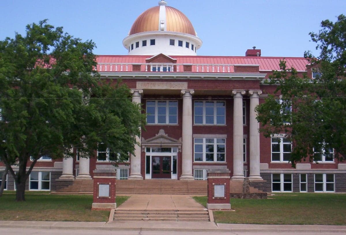
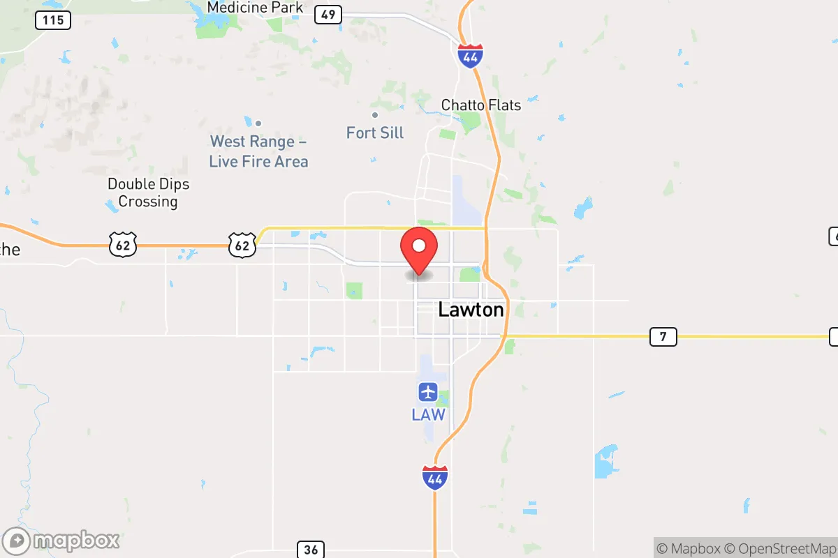
Lawton was founded in 1901 as a planned townsite during the opening of the Kiowa-Comanche-Apache Reservation to non-Native settlement via a land lottery. The city was named for Major General Henry Ware Lawton, a Spanish-American War hero, and its original population was overwhelmingly white and native-born, drawn by the promise of cheap land in the newly opened Oklahoma Territory. The establishment of Fort Sill in 1869 (as a cavalry post) predated the city, but the fort’s expansion after 1901—particularly during World War I and World War II—became the primary economic engine. The original white settlers clustered in the Historic Downtown grid and the West Side neighborhoods near Fort Sill’s main gate. A small Black community formed early, centered around Lincoln Avenue and the East Side, where segregation laws confined African American residents until the mid-20th century. The city grew steadily through the 1950s, reaching about 55,000 by 1960, with Fort Sill’s artillery and missile training schools driving a constant influx of military personnel and civilian contractors.
Modern era (post-1965)
The post-1965 period brought significant demographic change, driven by the Hart-Cellar Act’s immigration reforms and the continued expansion of Fort Sill. The city’s Black population grew from roughly 12% in 1970 to 17.6% today, with many families settling in the East Side and Southwest Lawton neighborhoods, where housing was more affordable and closer to the fort’s rear gates. Hispanic migration accelerated after 1990, fueled by agricultural and construction jobs in the region; today’s 16.0% Hispanic share is concentrated in North Lawton and the Cache Road corridor, where Mexican and Central American families established small businesses and churches. The East/Southeast Asian community (2.6%) is largely a product of military marriages and contractor hires from the Philippines, Vietnam, and Korea, with clusters near the Fort Sill base housing and the Sheridan Road area. The Indian subcontinent population (0.3%) is small but visible, primarily professionals in healthcare and engineering at Comanche County Memorial Hospital and the fort’s medical facilities. The white population, once over 80% in 1970, has declined to 48.7% as younger families have moved to suburbs like Cache or Elgin, while older white residents remain in the West Side and Pioneer Hills neighborhoods. The college-educated share stands at 22.9%, below the national average, reflecting the city’s blue-collar and military-service orientation.
The future
Lawton’s population is slowly homogenizing in some respects while tribalizing into distinct enclaves in others. The white share is projected to continue declining, possibly below 45% by 2040, as out-migration to surrounding suburbs persists. The Hispanic share is growing steadily, driven by both natural increase and continued migration from Texas and Mexico, and is likely to reach 20-22% by 2040, with North Lawton and Cache Road becoming more solidly Hispanic. The Black population is stable, with younger Black families moving to Southwest Lawton and Elgin for newer housing. The East/Southeast Asian and Indian communities are plateauing, as military rotations and contractor cycles keep them transient rather than deeply rooted. The city is not experiencing a major immigrant boom—the foreign-born share is only 2.8%—so assimilation into a blended Lawton identity is the norm rather than ethnic separation. The next 10-20 years will likely see Lawton remain a majority-minority, military-anchored city with a growing Hispanic plurality, a stable Black community, and a shrinking white population, all while the city struggles to retain young college graduates who leave for Oklahoma City or Dallas.
For someone moving in now, Lawton is becoming a more diverse, younger, and slightly more Hispanic city than its reputation suggests. The military base ensures a constant churn of new arrivals, but the core population is increasingly rooted in multi-generational families who value affordability and community over rapid growth. The city is not gentrifying or homogenizing into a single identity; instead, it is solidifying into distinct neighborhoods defined by race and class, with the West Side remaining whiter and wealthier, the East Side and North Lawton more diverse and working-class. This is a place where demographic change is slow and steady, not disruptive, and where new residents will find a community that is pragmatic, family-oriented, and shaped by the rhythms of Fort Sill.
* Values derived from national, state, county, city and local statistics and may differ in a specific area. Last updated: 2026-04-21T11:47:07.000Z
Narrative content on this page is AI-generated and may contain mistakes. Verify any details that matter before acting on them.
ReloMaps may earn a commission from affiliate links at no extra cost to you.