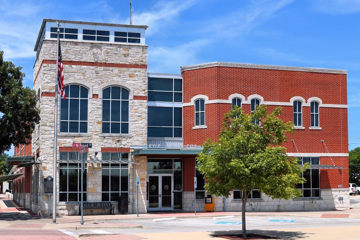
Photo: Wikipedia
Strategic Assessment of Kyle, TX
Multiple tactical vulnerabilities. Population density, target proximity, or disaster risk are likely compounding. A retreat property and exit planning is required.
What does the Strategic Assessment tell us?
Our Strategic Assessment grades tactical survivability of an area. Major population centers, military targets, fallout zones, natural disasters, and border exposure all drive risk — lower exposure means a more defensible position in a crisis.
This is heavily inspired by Joel Skousen's Strategic Relocation book. Highly recommended you checkout the book ($)What does this tell us?
Our Strategic Assessment grades tactical survivability of an area. Major population centers, military targets, fallout zones, natural disasters, and border exposure all drive risk — lower exposure means a more defensible position in a crisis.
This is heavily inspired by Joel Skousen's Strategic Relocation book. Highly recommended you checkout the book ($)Strategic Pillars

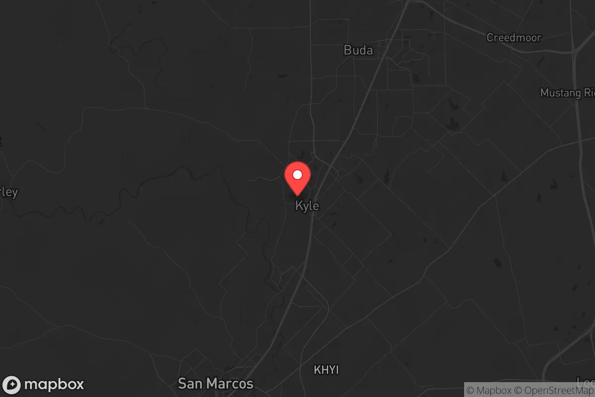
Key Distances
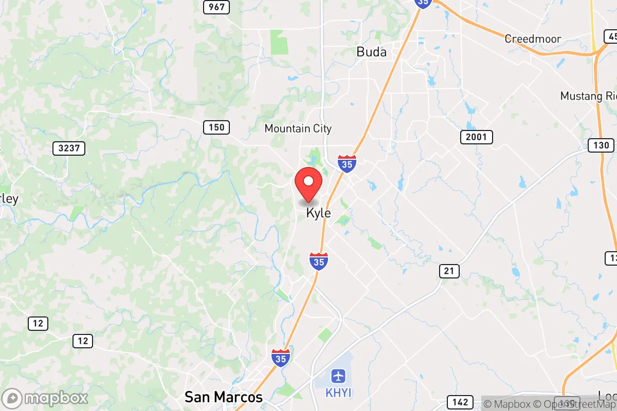
Regional Safe Places
Below is our recommended "safe zones" in Texas and the surrounding area based on our strategic heuristics. For most people, it's unrealistic to live in a “safe zone” full-time due to work, family or other personal reasons. They tend to be more rural. However, many of these areas are perfect for second homes and retreat properties that double as a vacation home or even a short-term rental.


Important Note: For informational purposes only. This does not mean nothing bad ever happens in the green zones. Please use common sense. This is based on public data and modeled with AI. We tried to take a conservative approach but mistakes happen. We update this regularly as new information becomes available.
Solar Generator Recommendations
Backup power matters more here than in safer locations. We've picked three solar generators across budgets and capacity tiers — start with the budget unit if you only need a few essentials, or step up if you want to run a fridge and HVAC for days at a time.

Jackery Portable Power Station Explorer 300
Budget OptionPower on the Go: Weighing only 11 lbs, it's convenient to set up and store with book-sized foldable solar panels

BLUETTI Portable Power Station AC180
Designed for both indoor and outdoor scenarios, AC180 is highly capable as it has a robost capacity and continuous output power.

EF ECOFLOW DELTA Pro Ultra Power Station
Upgraded PickEcoFlow DELTA Pro Ultra is a whole-home energy system designed to grow with your family. Integrated with the Smart Home Panel 2, it scales to meet your evolving energy needs — keeping your home powered, intelligent, and secure through every stage of life.
We earn a commission, at no additional cost to you.
Strategic Assessment Analysis
Kyle, Texas, positioned roughly 20 miles south of Austin along the I-35 corridor, presents a mixed strategic picture for those prioritizing resilience and preparedness. Its rapid growth—swelling from under 30,000 in 2010 to over 60,000 by 2025—signals both economic vitality and the kind of population density that can become a liability during disruptions. For a conservative-leaning relocator concerned with civic unrest, mass casualty events, and systemic collapse, Kyle offers proximity to critical infrastructure and resources, but its location near a major metropolitan hub and along a high-traffic interstate introduces significant vulnerabilities that must be weighed carefully.
Geographic position and natural advantages for long-term survival
Kyle sits on the eastern edge of the Texas Hill Country, a region known for its relatively stable geology, moderate climate, and access to groundwater via the Edwards Aquifer. The area’s elevation—around 700 feet—provides some natural drainage and reduces flood risk compared to low-lying parts of Central Texas. The Balcones Escarpment, a fault line running just west of Kyle, creates a natural barrier that historically limited development and still offers defensible terrain for those who know where to look. The proximity to the Hill Country means relocators can reach sparsely populated areas like Wimberley or Blanco within 30 minutes, providing a potential retreat zone if Kyle itself becomes compromised. The region’s growing network of local farms and ranches, particularly in Hays County, supports a nascent local food system, though it remains far from self-sufficient for a population this size. The climate supports year-round gardening, with a growing season of roughly 250 days, and the aquifer provides a reliable water source—though competition for it is intensifying as development accelerates.
Risks, exposures, and proximity to fallout-relevant landmarks
Kyle’s most significant strategic weakness is its location along I-35, a primary north-south corridor that funnels traffic from the Texas-Mexico border through Austin and up to Dallas. In a crisis—whether a natural disaster, grid failure, or civil unrest—this highway becomes a choke point and a target. The city’s proximity to Austin (20 miles north) and San Antonio (50 miles south) means it lies within the potential fallout zone of any major event affecting either metro. The Austin-Bergstrom International Airport, a major transportation hub, is roughly 25 miles northeast, and the nearby San Marcos Regional Airport is a secondary concern. Kyle is also within 100 miles of the South Texas Nuclear Generating Station near Bay City, a facility that, while not immediately adjacent, could pose a contamination risk depending on wind patterns during a catastrophic failure. The city’s rapid growth has outpaced infrastructure: water treatment capacity is strained, and the electrical grid, managed by the Electric Reliability Council of Texas (ERCOT), has demonstrated fragility during extreme weather events, as seen in the 2021 winter storm. For a prepper, the concentration of population along I-35 creates a scenario where a single disruption—a bridge failure, a coordinated attack, or a pandemic—could paralyze the area and trigger mass movement of people, increasing risks of disease, resource competition, and violence.
Practical resilience for a relocator: food, water, energy, and defensibility
For a single individual or family looking to establish a resilient foothold, Kyle offers a mixed bag. Water access is the strongest point: the Edwards Aquifer provides a deep, reliable source, and many newer subdivisions are required to install rainwater catchment systems. However, the aquifer is under increasing pressure from over-pumping, and drought cycles are common. A well on private land is a significant advantage, but zoning and permitting in Kyle’s city limits can be restrictive. Food resilience is moderate: the Hays County Farmers Market and local producers like the Kyle-based Texas Farm to Table network offer some local sourcing, but the city’s grocery supply chain is heavily dependent on trucking along I-35. For long-term self-sufficiency, relocators should plan for a minimum of 30 acres outside city limits to support livestock and crop rotation. Energy resilience is a weak point: Kyle’s grid is tied to ERCOT, and while solar adoption is growing, most homes lack battery backup. A propane generator with a 500-gallon tank is a baseline recommendation, but fuel resupply could be disrupted. Defensibility is challenging within the city itself—Kyle’s suburban sprawl, with its cul-de-sacs and open floor plans, offers little natural cover or chokepoints. The better play is to secure a property on the western edge, near the Hill Country, where terrain provides natural barriers and line-of-sight advantages. The local law enforcement presence, the Kyle Police Department, is professional but under-resourced for a city of this size, and mutual aid from Hays County Sheriff’s Office can be delayed during widespread events. For a prepper, the key is to treat Kyle as a logistics hub—a place to stockpile, network with like-minded locals, and maintain a low profile—rather than a final defensive position.
The overall strategic picture for Kyle is one of calculated risk. It offers genuine advantages in water access, climate, and proximity to rural retreat zones, but its location on a major interstate and near two large metros makes it a high-risk area for anyone concerned with systemic collapse or targeted events. For a conservative relocator who values community and economic opportunity but is serious about preparedness, Kyle can work as a base of operations—provided you have a clear plan for evacuation, a secure property outside the sprawl, and a network of trusted neighbors. The city’s growth trajectory suggests it will only become more integrated into the Austin-San Antonio corridor, increasing both its vulnerabilities and its potential as a resource hub. The smart play is to buy land west of town, invest in off-grid infrastructure, and treat Kyle as a forward operating base rather than a final sanctuary. If you’re looking for a place to ride out the storm, this isn’t it—but if you’re looking for a place to stage, resupply, and build a network, Kyle has real strategic value.
* Values derived from national, state, county, city and local statistics and may differ in a specific area. Last updated: 2026-05-14T18:36:39.000Z
Narrative content on this page is AI-generated and may contain mistakes. Verify any details that matter before acting on them.
ReloMaps may earn a commission from affiliate links at no extra cost to you.