
Photo: Wikipedia
Strategic Assessment of Seward County
Strong survivability profile. Good buffer from population centers, with manageable environmental and tactical risks.
What does the Strategic Assessment tell us?
Our Strategic Assessment grades tactical survivability of an area. Major population centers, military targets, fallout zones, natural disasters, and border exposure all drive risk — lower exposure means a more defensible position in a crisis.
This is heavily inspired by Joel Skousen's Strategic Relocation book. Highly recommended you checkout the book ($)What does this tell us?
Our Strategic Assessment grades tactical survivability of an area. Major population centers, military targets, fallout zones, natural disasters, and border exposure all drive risk — lower exposure means a more defensible position in a crisis.
This is heavily inspired by Joel Skousen's Strategic Relocation book. Highly recommended you checkout the book ($)Strategic Pillars

Key Distances
Strategic Assessment Analysis
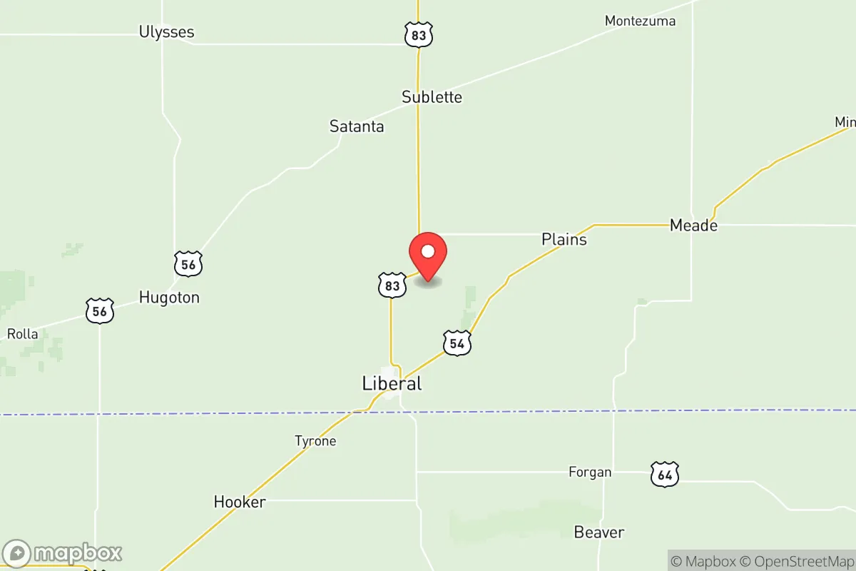
Seward County, Kansas, anchored by the city of Liberal, offers a strategic relocation option for those prioritizing resilience and distance from major population centers. Its location in the southwestern corner of the state places it over 200 miles from the nearest major metropolitan area (Amarillo, Texas, and Wichita, Kansas), providing a natural buffer against the cascading effects of urban unrest, supply chain disruptions, or mass casualty events. The county’s agricultural and energy infrastructure—including the National Beef packing plant and the nearby Hugoton gas field—gives it a built-in economic base that doesn’t rely on fragile coastal or urban supply chains, making it a more self-sufficient anchor for a long-term relocation strategy.
Geographic position and natural advantages for long-term stability
Seward County sits in the High Plains region, a flat, open landscape that offers excellent visibility and defensibility—critical factors for monitoring approach routes during periods of civil unrest. The county is bordered by the Cimarron River to the south, which provides a natural water source and a modest geographic barrier. Liberal itself is a designated “All-America City” with a population of around 20,000, large enough to maintain essential services (hospital, schools, grocery stores) but small enough to avoid the anonymity and crime spikes seen in larger cities. The area’s agricultural dominance means that local food production is a given: the county is a top producer of wheat, corn, and sorghum, and the presence of the National Beef plant ensures a steady supply of protein. For a relocator, this means that even in a worst-case scenario, the local economy is geared toward subsistence and trade rather than speculative finance or tech bubbles.
Risks, exposures, and proximity to fallout-relevant landmarks
The primary risk in Seward County is its proximity to the Panhandle oil and gas infrastructure, including the Hugoton gas field and the numerous natural gas processing plants scattered across the region. While these provide energy independence, they also represent a potential target for sabotage or accidental explosion during a mass casualty event. The county is roughly 100 miles from the Pecos River nuclear waste storage site in New Mexico, which, while not a direct fallout risk, could become a secondary hazard if that facility were compromised. Additionally, the county sits within 150 miles of the Pantex nuclear weapons assembly plant near Amarillo, Texas—a high-value target in any conflict scenario. However, the prevailing winds in this region (west to east) mean that fallout from Pantex would likely drift toward Oklahoma and North Texas, not directly over Seward County. The county’s distance from major military bases (Fort Riley is 300 miles east; Fort Sill is 200 miles southeast) reduces the risk of being caught in a mobilization zone. The biggest practical exposure is severe weather: the area is in Tornado Alley, with an average of 10-15 tornado warnings per year. A storm shelter is not optional here—it’s a baseline requirement for any serious prepper.
Practical resilience for a relocator: food, water, energy, and defensibility
Water is the most critical resource in the High Plains, and Seward County sits atop the Ogallala Aquifer, one of the largest freshwater aquifers in the world. While agricultural drawdown is a concern, for a single household or small group, the water table is still accessible via a private well (average depth 200-400 feet). The city of Liberal’s municipal water supply is treated and reliable, but a prepper should plan for a well and a hand pump as a backup. Energy is abundant: natural gas is cheap and locally sourced, and the county has excellent solar potential (average 260 sunny days per year). A solar array with battery backup is a practical investment here. For food, the aforementioned agricultural base means that local farmers’ markets, co-ops, and direct-from-farm purchasing are viable year-round. The county’s low population density (about 12 people per square mile) means that property is affordable—land can be had for under $2,000 per acre—and that neighbors are far enough apart to provide privacy but close enough to form a mutual aid network. Defensibility is aided by the flat terrain: any approaching vehicle or group can be seen from miles away, and the county’s grid road system (section-line roads every mile) makes it easy to set up observation posts or escape routes. The local sheriff’s office is well-funded and responsive, but in a collapse scenario, the community’s rural ethos and gun culture (Kansas is a constitutional carry state) mean that residents are generally capable of self-defense.
The overall strategic picture for Seward County is one of balanced isolation with functional infrastructure. It’s not a bug-out location for the ultra-wealthy—there are no bunkers or private security firms here—but it is a place where a determined individual or family can build a genuinely resilient life. The proximity to Pantex and the gas fields introduces a non-zero risk of fallout or industrial accident, but the county’s distance from major cities, its agricultural self-sufficiency, and its access to the Ogallala Aquifer make it a strong candidate for those who want to be far from the chaos without being completely off the grid. For a conservative-leaning relocator who values self-reliance, community, and a low-tax environment (Kansas has no state tax on Social Security and a flat income tax rate of 5.7%), Seward County offers a practical, grounded option that doesn’t require a million-dollar budget or a prepper compound. It’s a place to live, not just to hide.
* Values derived from national, state, county, city and local statistics and may differ in a specific area. Last updated: 2026-05-21T05:52:08.000Z
Narrative content on this page is AI-generated and may contain mistakes. Verify any details that matter before acting on them.
ReloMaps may earn a commission from affiliate links at no extra cost to you.