Photo: Wikipedia
Strategic Assessment of Johnson County
Multiple tactical vulnerabilities. Population density, target proximity, or disaster risk are likely compounding. A retreat property and exit planning is required.
What does the Strategic Assessment tell us?
Our Strategic Assessment grades tactical survivability of an area. Major population centers, military targets, fallout zones, natural disasters, and border exposure all drive risk — lower exposure means a more defensible position in a crisis.
This is heavily inspired by Joel Skousen's Strategic Relocation book. Highly recommended you checkout the book ($)What does this tell us?
Our Strategic Assessment grades tactical survivability of an area. Major population centers, military targets, fallout zones, natural disasters, and border exposure all drive risk — lower exposure means a more defensible position in a crisis.
This is heavily inspired by Joel Skousen's Strategic Relocation book. Highly recommended you checkout the book ($)Strategic Pillars

Key Distances
Strategic Assessment Analysis
Johnson County, Kansas, offers a surprisingly strong strategic position for those prioritizing resilience, but it’s not without trade-offs. Its location on the western edge of the Kansas City metro provides a buffer from the densest urban chaos while still granting access to critical infrastructure, and the county’s conservative governance and robust local economy create a foundation that’s harder to find in coastal or deep-blue states. For a relocator thinking in terms of decades, not just next year, this area deserves a hard look—but only if you understand where the vulnerabilities lie.
Geographic position and natural advantages for long-term stability
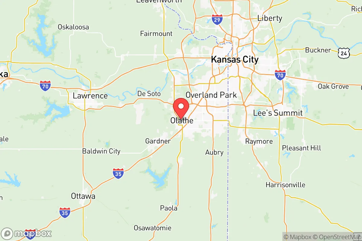
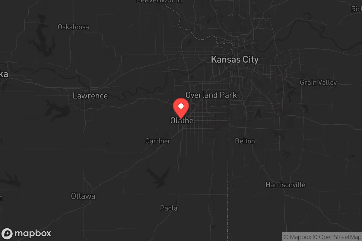
Johnson County sits on the eastern edge of the Great Plains, roughly 40 miles west of Missouri’s border and about 250 miles from the nearest major military installation, Fort Riley. The terrain is rolling hills with decent drainage, not flood-prone bottomland, and the Kansas River runs along the county’s northern boundary, offering a reliable water source that’s less contested than the Missouri River to the east. The county’s position places it outside the immediate blast radius of any major strategic target—no major oil refineries, no nuclear power plants, and no major ports within 100 miles. The nearest fallout-relevant landmark is the Wolf Creek Generating Station (a nuclear plant) near Burlington, Kansas, about 90 miles southwest—close enough to warrant a potassium iodide stockpile but far enough that a worst-case scenario wouldn’t directly threaten the county. Towns like Olathe and Overland Park are the population centers, but the county’s southern and western edges, around Gardner and Spring Hill, offer more rural buffers with lower population density. The area’s natural advantages are modest but real: moderate climate with four seasons, no hurricane risk, low earthquake risk, and a water table that’s generally adequate for private wells in unincorporated areas.
Risks, exposures, and proximity to fallout-relevant landmarks
The biggest risk for Johnson County isn’t a direct strike—it’s the fallout from being adjacent to a major metropolitan area that could become a target. Kansas City International Airport (MCI) is about 30 miles north, and the BNSF Railway’s Argentine Yard in Kansas City, Kansas, is a major rail hub that could be a secondary target. If a major event hits downtown Kansas City or the Whiteman Air Force Base (home to B-2 bombers, about 70 miles east in Missouri), Johnson County would be downwind depending on weather patterns. The county’s population density—over 600,000 people in a 477-square-mile area—means that any evacuation scenario would face severe congestion on I-35 and I-435. The New Century AirCenter in Gardner is a former naval air station now used for general aviation and cargo, which could become a logistical bottleneck or a target in a conflict scenario. On the positive side, the county has no major chemical plants, no oil refineries, and no nuclear storage sites within its borders. The Kansas City VA Medical Center in Leavenworth (about 40 miles north) and the University of Kansas Medical Center in Kansas City, Kansas, are the nearest major trauma centers, but both are inside the metro area and could be overwhelmed. For a prepper, the key takeaway is that Johnson County is a secondary-risk zone—not a primary target, but close enough to feel the shockwaves.
Practical resilience for a relocator: food, water, energy, and defensibility
Johnson County’s practical resilience is a mixed bag. On the food front, the county sits in the heart of Kansas’s agricultural belt, with Mound City and Louisburg to the south offering direct access to local farms, cattle operations, and grain elevators. The Kansas City Food Hub in nearby Kansas City, Kansas, is a regional distribution center, but in a crisis, supply chains would prioritize urban centers first. Water is the stronger suit: the county draws from the Missouri River Alluvial Aquifer and the Kansas River, and many rural properties have access to private wells. The Johnson County Water District #1 is well-managed, but a grid-down scenario would require backup pumping—so a hand pump or solar-powered well setup is a smart investment. Energy is where the county shines: Evergy (the local utility) has a diverse mix of coal, natural gas, and wind, and the county has no rolling blackout history. Solar potential is decent—about 4.5 peak sun hours per day—and many homes in unincorporated areas already have propane tanks for backup. Defensibility is the weak point. The county is mostly suburban sprawl with few natural chokepoints. The Kill Creek Park and Shawnee Mission Park areas offer some wooded terrain, but the open farmland to the west and south means that a determined group could move through easily. The Johnson County Sheriff’s Office is professional and well-funded, but in a widespread collapse, 600 deputies won’t cover 600,000 people. The best defensive strategy is to locate on the county’s rural fringe—think Edgerton or Stilwell—where you can establish a perimeter and have neighbors who think the same way.
The overall strategic picture for Johnson County is one of calculated trade-offs. It’s not a remote bunker location, but it’s not a high-risk target either. The county’s conservative political culture, strong local economy, and agricultural access make it a viable base for someone who wants to be prepared without living off-grid in the Rockies. The real vulnerability is proximity to Kansas City—if the metro goes sideways, Johnson County will feel it. But for a relocator who picks a spot on the southern or western edge, drills a well, stocks supplies, and builds community with like-minded neighbors, this area offers a solid foundation for weathering the next decade. Just don’t expect to be invisible—you’ll be in the suburbs, not the wilderness, and that means you need to plan for people, not just nature.
* Values derived from national, state, county, city and local statistics and may differ in a specific area. Last updated: 2026-05-12T01:03:12.000Z
Narrative content on this page is AI-generated and may contain mistakes. Verify any details that matter before acting on them.
ReloMaps may earn a commission from affiliate links at no extra cost to you.