
Photo: Wikipedia
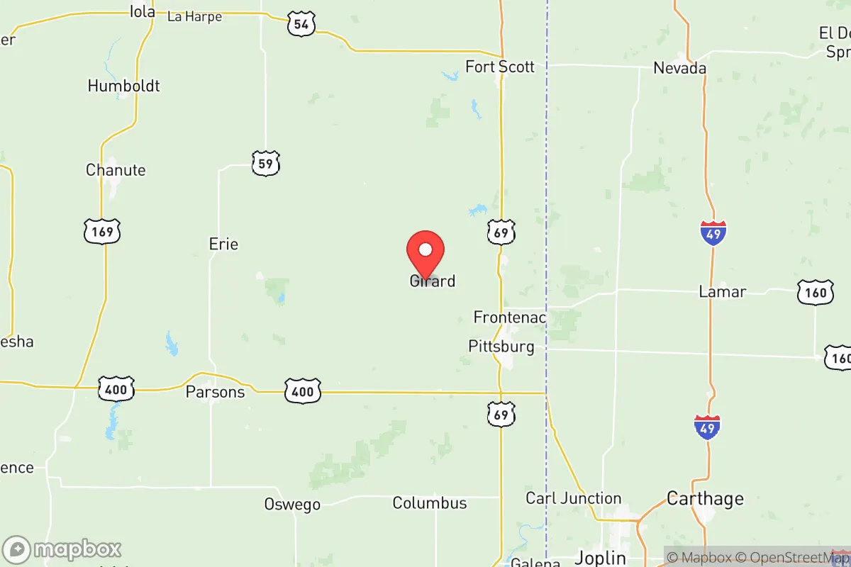
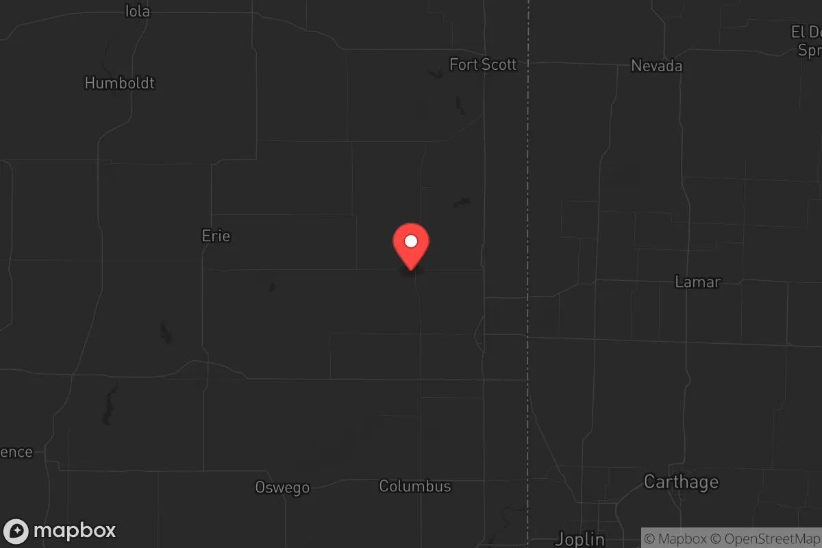
Strategic Assessment of Crawford County
Strong survivability profile. Good buffer from population centers, with manageable environmental and tactical risks.
What does the Strategic Assessment tell us?
Our Strategic Assessment grades tactical survivability of an area. Major population centers, military targets, fallout zones, natural disasters, and border exposure all drive risk — lower exposure means a more defensible position in a crisis.
This is heavily inspired by Joel Skousen's Strategic Relocation book. Highly recommended you checkout the book ($)What does this tell us?
Our Strategic Assessment grades tactical survivability of an area. Major population centers, military targets, fallout zones, natural disasters, and border exposure all drive risk — lower exposure means a more defensible position in a crisis.
This is heavily inspired by Joel Skousen's Strategic Relocation book. Highly recommended you checkout the book ($)Strategic Pillars

Key Distances
Strategic Assessment Analysis
Crawford County, Kansas, offers a compelling strategic profile for relocators prioritizing resilience and self-sufficiency, balancing its position in the southeastern corner of the state with proximity to both regional resources and potential risks. The county’s anchor, Pittsburg, serves as a modest economic hub, while smaller communities like Frontenac, Arma, and Girard provide quieter, more defensible options. For a conservative-leaning audience focused on disaster readiness, the area’s mix of agricultural capacity, water access, and distance from major metropolitan targets presents a solid baseline, though it is not without specific exposures that require careful consideration.
Geographic position and natural advantages for self-sufficiency
Crawford County sits roughly 120 miles south of Kansas City and 140 miles west of Springfield, Missouri, placing it outside the immediate blast or fallout zones of major population centers while still within a day’s drive of supply chains. The county lies within the Ozark Plateau fringe, offering rolling hills, abundant surface water from the Spring River and its tributaries, and a moderate climate that supports a 180-day growing season. This geography provides natural defensibility: the terrain is not flat enough for easy mechanized agriculture but offers wooded cover and dispersed settlement patterns. The area’s annual rainfall averages 40 inches, making it one of the wetter parts of Kansas, which directly supports rain-fed crops and private wells without heavy reliance on irrigation districts. For a relocator, this means a household can realistically establish a garden, orchard, or small livestock operation without fighting drought—a key advantage over western Kansas. The county’s position also places it near the Cherokee Lowlands, a region historically rich in coal and now dotted with reclaimed strip-mine lakes, which add recreational water sources and potential emergency water reserves.
Risks, exposures, and proximity to fallout-relevant landmarks
While Crawford County avoids the direct threat of a major metropolitan strike, it is not immune to secondary risks. The most significant exposure is the Wolf Creek Generating Station, a nuclear power plant located just 15 miles northeast of Burlington, Kansas, in adjacent Coffey County. Though the plant is a pressurized water reactor with a strong safety record, its containment structures are a potential target for sabotage or accident; the prevailing winds in the region blow from the southwest, meaning fallout from a Wolf Creek incident could drift into northern Crawford County. Additionally, the county lies within 100 miles of Fort Riley (a major Army base near Junction City) and Whiteman Air Force Base (home to B-2 bombers near Knob Noster, Missouri). Both are high-value military targets in a conflict scenario. The Interstate 44 corridor running through Joplin, Missouri, just 20 miles east of the county line, is a major freight and fuel transport route; a disruption there could choke supply chains. Natural risks are lower: tornadoes are a seasonal reality, but the county sits outside the highest-risk “Tornado Alley” core, and flooding is limited to the Spring River floodplain near Pittsburg. Earthquake risk is negligible. For a relocator, the key takeaway is that the county’s primary man-made risk is the Wolf Creek plant, and a preparedness plan should include potassium iodide supplies and a southward evacuation route toward the Oklahoma border.
Practical resilience for a relocator: food, water, energy, and defensibility
For a household serious about self-sufficiency, Crawford County offers strong fundamentals. Water access is the standout advantage: the Ozark aquifer underlies the region, and private wells in the county typically produce 10–30 gallons per minute at depths of 100–200 feet, making household-scale independence feasible. Surface water from the Spring River and numerous strip-pit lakes provides backup. The county’s agricultural base is robust—corn, soybeans, and hay are the main crops, and there is a dense network of small farms and ranches that could support barter and local food sourcing in a crisis. Pittsburg’s Kansas State University Polytechnic campus adds a technical workforce and potential knowledge base for repair skills. Energy resilience is moderate: the county is served by Evergy, which relies on a mix of coal, gas, and renewables, but grid outages from storms are common enough that many rural residents already own generators. Solar potential is decent, with about 210 sunny days per year, though not exceptional. Defensibility varies by location: the rural townships north of Pittsburg (like Sherman or Lincoln) offer low population density, wooded terrain, and limited road access, making them harder to reach for looters or unprepared refugees. In contrast, Pittsburg itself (population ~20,000) is a potential chokepoint if highways 69 and 126 become clogged. The county’s sheriff’s office and local police are generally well-regarded in conservative circles, but a relocator should plan for self-defense given the rural distances for emergency response.
The overall strategic picture for Crawford County is one of moderate resilience with specific trade-offs. Its geographic isolation from major targets like Kansas City, Wichita, and the Oklahoma City metroplex is a clear positive, and its water and agricultural resources provide a foundation for long-term self-sufficiency. The proximity to Wolf Creek and military bases introduces a non-trivial risk that demands a tailored preparedness plan, but the county’s low population density, conservative culture, and existing infrastructure for rural living make it a viable option for a relocator who values independence over convenience. For a family or individual willing to invest in a well, solar panels, and a defensible property in the county’s northern or western townships, Crawford County offers a realistic balance of safety and opportunity in an uncertain future.
* Values derived from national, state, county, city and local statistics and may differ in a specific area. Last updated: 2026-06-12T06:56:14.000Z
Narrative content on this page is AI-generated and may contain mistakes. Verify any details that matter before acting on them.
ReloMaps may earn a commission from affiliate links at no extra cost to you.