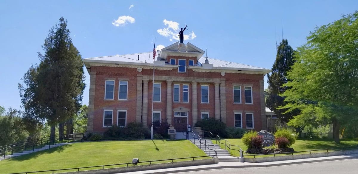
Photo: Wikipedia
Strategic Assessment of Lemhi County
Deep buffer from population centers and strategic targets. Low natural disaster risk and minimal exposure to border or coastal threats.
What does the Strategic Assessment tell us?
Our Strategic Assessment grades tactical survivability of an area. Major population centers, military targets, fallout zones, natural disasters, and border exposure all drive risk — lower exposure means a more defensible position in a crisis.
This is heavily inspired by Joel Skousen's Strategic Relocation book. Highly recommended you checkout the book ($)What does this tell us?
Our Strategic Assessment grades tactical survivability of an area. Major population centers, military targets, fallout zones, natural disasters, and border exposure all drive risk — lower exposure means a more defensible position in a crisis.
This is heavily inspired by Joel Skousen's Strategic Relocation book. Highly recommended you checkout the book ($)Strategic Pillars

Key Distances
Strategic Assessment Analysis
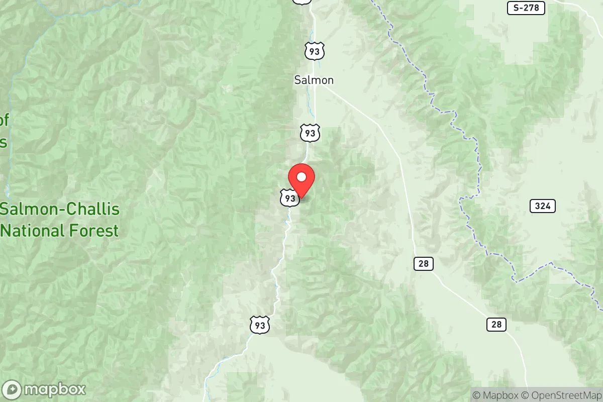
Lemhi County, Idaho, offers a compelling strategic profile for relocation-minded individuals and families prioritizing resilience and self-sufficiency, anchored by its remote, high-elevation geography and distance from major population centers. The county seat, Salmon, sits in the Lemhi River Valley, roughly 150 miles south of Missoula, Montana, and 200 miles north of Boise, placing it well outside the immediate fallout zones of any major city or military target. Its location along the Continental Divide provides natural defensibility and access to vast public lands, including the Salmon-Challis National Forest and the Frank Church River of No Return Wilderness, which together create a buffer of over 4 million acres of undeveloped terrain. For a reader weighing disaster readiness, this isolation is a double-edged sword: it minimizes exposure to cascading urban failures but demands a high degree of logistical self-reliance.
Geographic position and natural advantages for self-sufficiency
Lemhi County’s geography is its primary strategic asset. The valley floor sits at roughly 4,000 feet elevation, with surrounding peaks rising above 10,000 feet, creating a natural fortress that limits access to a handful of paved routes—primarily U.S. Highway 93, which runs north-south through Salmon. This chokepoint geography means any large-scale movement of people or goods into the area can be monitored and controlled, a key consideration for those thinking about long-term security. The county is also bisected by the Salmon River, a major tributary of the Snake River, providing a reliable surface water source that is less prone to contamination than groundwater in agricultural basins. The region’s high desert climate—averaging 10-12 inches of precipitation annually—limits wildfire risk compared to wetter forested areas, though summer fire seasons remain a real hazard. For a relocator, the combination of defensible terrain, abundant public land for hunting and foraging, and a low population density (roughly 8,000 residents across 4,500 square miles) creates a baseline resilience that few other counties in the lower 48 can match.
Risks, exposures, and proximity to fallout-relevant landmarks
While Lemhi County is far from any major city, it is not without strategic vulnerabilities. The most notable nearby landmark is the Idaho National Laboratory (INL), located about 100 miles southwest near Idaho Falls. INL is a nuclear research facility with historical ties to reactor development and spent fuel storage, making it a potential target in a conflict scenario. However, prevailing winds in the region blow from the southwest, meaning fallout from an INL incident would likely move northeast, away from Lemhi County. The county also sits within 150 miles of the Montana Rail Link mainline, a key freight corridor for coal and grain, which could be a secondary target. On the natural disaster front, the area is seismically active—the 1983 Borah Peak earthquake (magnitude 6.9) was centered just 30 miles south of Salmon—and the region experiences regular small tremors. Flooding along the Salmon River is a periodic concern, particularly during spring snowmelt, but the valley’s narrow floodplain limits widespread damage. For a relocator, the primary man-made risk is the INL, but its distance and prevailing wind patterns reduce the likelihood of direct contamination. The lack of any major military base, refinery, or port within 200 miles is a net positive for those seeking to avoid fallout-relevant landmarks.
Practical resilience for a relocator: food, water, energy, and defensibility
For a family or individual serious about self-sufficiency, Lemhi County offers a mixed but workable foundation. Water is the strongest asset: the Salmon River and its tributaries provide year-round flow, and groundwater is accessible via shallow wells in the valley floor, though drilling depths of 100-300 feet are typical. The county’s agricultural history means many properties already have irrigation rights, and the growing season (roughly 90-100 frost-free days) supports cold-hardy crops like potatoes, carrots, and kale. Food production is feasible but limited by short summers and poor soil in some areas; most residents rely on hunting (elk, mule deer, and black bear are abundant) and fishing (steelhead and Chinook salmon in the Salmon River) to supplement gardens. Energy resilience is moderate: the county is served by Idaho Power, which draws from hydroelectric dams on the Snake River, but grid reliability is lower than urban areas—outages during winter storms can last days. Solar potential is good, with over 200 sunny days per year, but off-grid systems require battery storage to handle winter cloud cover. Defensibility is high due to the terrain and low population density; the county has a strong hunting culture, and firearm ownership is common. The nearest hospital is Steele Memorial in Salmon, a critical access facility with 25 beds, meaning serious medical emergencies require a 2-3 hour drive to Missoula or Idaho Falls. For a relocator, the practical takeaway is that Lemhi County rewards preparation: stockpiling fuel, food, and medical supplies is essential, but the natural resources are sufficient for a determined household to achieve a high degree of independence.
Overall, Lemhi County presents a strong strategic option for those prioritizing isolation, natural resources, and defensibility over proximity to urban amenities. Its distance from major cities, military bases, and industrial targets minimizes exposure to man-made disasters, while its water abundance and public lands support a self-sufficient lifestyle. The trade-offs are real—limited healthcare, harsh winters, and a short growing season—but for a reader who values resilience above convenience, this area ranks among the most viable in the Intermountain West. The key is to arrive with a plan, not just a dream: secure a property with water rights, invest in solar and battery storage, and build a network with local ranchers and hunters who know the land. Done right, Lemhi County offers a quiet, defensible home base that can weather most disruptions.

* Values derived from national, state, county, city and local statistics and may differ in a specific area. Last updated: 2026-08-20T10:55:19.000Z
Narrative content on this page is AI-generated and may contain mistakes. Verify any details that matter before acting on them.
ReloMaps may earn a commission from affiliate links at no extra cost to you.

