
Photo: Wikipedia
Strategic Assessment of Kootenai County
Workable tactical position. Some exposure to population density or targets, but generally defensible in a crisis.
What does the Strategic Assessment tell us?
Our Strategic Assessment grades tactical survivability of an area. Major population centers, military targets, fallout zones, natural disasters, and border exposure all drive risk — lower exposure means a more defensible position in a crisis.
This is heavily inspired by Joel Skousen's Strategic Relocation book. Highly recommended you checkout the book ($)What does this tell us?
Our Strategic Assessment grades tactical survivability of an area. Major population centers, military targets, fallout zones, natural disasters, and border exposure all drive risk — lower exposure means a more defensible position in a crisis.
This is heavily inspired by Joel Skousen's Strategic Relocation book. Highly recommended you checkout the book ($)Strategic Pillars

Key Distances
Strategic Assessment Analysis
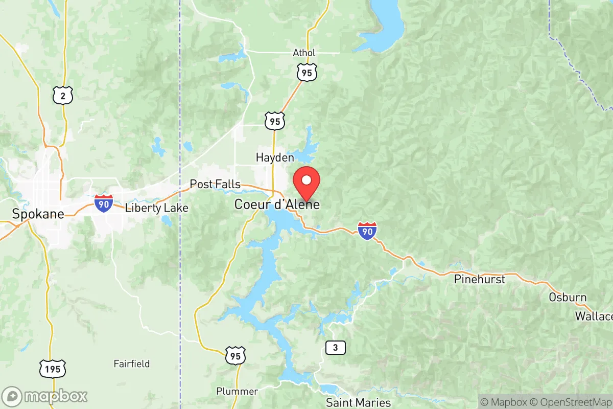
Kootenai County, anchored by Coeur d’Alene and stretching through Post Falls, Hayden, and Rathdrum, offers a strategic blend of geographic isolation and resource abundance that makes it a serious option for those prioritizing long-term resilience. Its position on the Idaho panhandle, tucked against the Washington border and roughly 30 miles east of Spokane, provides a buffer from the densest coastal population centers while still giving access to a regional hub for supply runs when conditions are stable. The area’s population density—roughly 180 people per square mile outside the city limits—means you aren’t buried in neighbors, but you aren’t completely off the grid either, which is a workable middle ground for most relocators.
Geographic positioning and natural buffer zones in Kootenai County
The county sits in the Selkirk Mountains transition zone, with the Coeur d’Alene River and the Spokane River carving out valleys that double as natural travel corridors. Lake Coeur d’Alene, a 25-mile-long natural lake, serves as both a freshwater reservoir and a geographic barrier that limits approach routes from the south and west. The Rathdrum Prairie aquifer, one of the most productive groundwater systems in the country, lies beneath the central part of the county, providing a reliable water source that doesn’t depend on surface reservoirs that could be targeted or contaminated. The Canadian border sits roughly 90 miles north, offering a potential secondary egress route if the interstate system becomes compromised. The combination of mountain terrain, river corridors, and a massive aquifer gives this area a structural advantage for sustained habitation during disruption that few other regions in the inland Northwest can match.
Fallout exposure risks and proximity to target-worthy infrastructure
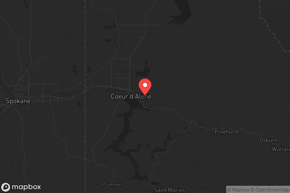
No location is immune from risk, and Kootenai County has specific exposure factors that a strategic relocator needs to weigh. The most significant nearby target is Fairchild Air Force Base in Spokane County, roughly 40 miles west of Coeur d’Alene. Fairchild hosts the 92nd Air Refueling Wing and the 141st Air Refueling Wing, making it a strategic asset in any conflict scenario. Spokane itself, with a metro population of around 600,000, contains a rail hub, major east-west interstate junction (I-90), and commercial infrastructure that could attract secondary effects in a widespread event. On the plus side, the prevailing wind patterns in the region generally move from west to east, meaning fallout from a Spokane-area event would push toward the Idaho panhandle rather than away from it. This is a genuine liability: Kootenai County sits directly downwind of a high-value military target. That said, the distance—40 miles of mountainous terrain—provides significant attenuation, and the county lacks the refineries, major ports, or dense industrial corridors that make places like Houston or the Los Angeles basin immediate death zones. The Spokane River corridor and the I-90 chokepoint at the Idaho-Washington border are the two primary ingress routes anyone moving here should have mapped and memorized.
Food security, water access, and defensible terrain for relocators
Kootenai County’s practical resilience fundamentals are better than most places in the western U.S. The Rathdrum Prairie includes some of the best agricultural soil in northern Idaho, with a growing season long enough for potatoes, grains, and vegetables. Local food production isn’t at industrial scale, but the combination of small farms, farmers’ markets in Coeur d’Alene and Post Falls, and a strong home-gardening culture means food supply chains are less brittle than in purely urban settings. The timber industry remains active, with the Idaho Panhandle National Forests covering significant acreage to the north and east, providing wood fuel and building materials that don’t require long-haul transport. Water is the standout advantage: the Rathdrum Prairie aquifer holds an estimated 10 trillion gallons of water with a natural filtration system that requires minimal treatment. For a relocator, this means well drilling is viable in many parts of the county, and surface water from Lake Coeur d’Alene and the Coeur d’Alene River is accessible year-round. Defensively, the terrain works in favor of prepared residents. The mountains funnel movement through a limited number of passes and highway corridors, making it possible to monitor or control access to the core areas. The county’s gun culture and hunting tradition mean a significant percentage of the population is already armed and trained, which, depending on your perspective, either adds to community security or complicates social dynamics during a breakdown. It also means the local supply chain for ammunition, firearms, and outdoor gear is robust compared to coastal regions.
The overall strategic picture for Kootenai County is one of conditional viability. It offers some of the best natural resources—water, timber, arable land, defensible terrain—available in the inland Northwest, with a population that is already oriented toward self-sufficiency and wary of federal overreach. The proximity to Fairchild Air Force Base and the downwind risk from Spokane are real concerns that no serious assessment can ignore. But for a relocator who wants to stay within a day’s drive of a regional medical center and supply hub while maintaining the ability to retreat into mountain country with reliable water and food production, this area deserves a careful look. The key is positioning: avoid the I-90 corridor and the immediate Spokane Valley, and focus on properties east of Rathdrum or north of Hayden where the terrain provides additional separation and the aquifer sits closest to the surface.
* Values derived from national, state, county, city and local statistics and may differ in a specific area. Last updated: 2026-05-28T00:23:13.000Z
Narrative content on this page is AI-generated and may contain mistakes. Verify any details that matter before acting on them.
ReloMaps may earn a commission from affiliate links at no extra cost to you.