Photo: Wikipedia
Strategic Assessment of Blaine County
Strong survivability profile. Good buffer from population centers, with manageable environmental and tactical risks.
What does the Strategic Assessment tell us?
Our Strategic Assessment grades tactical survivability of an area. Major population centers, military targets, fallout zones, natural disasters, and border exposure all drive risk — lower exposure means a more defensible position in a crisis.
This is heavily inspired by Joel Skousen's Strategic Relocation book. Highly recommended you checkout the book ($)What does this tell us?
Our Strategic Assessment grades tactical survivability of an area. Major population centers, military targets, fallout zones, natural disasters, and border exposure all drive risk — lower exposure means a more defensible position in a crisis.
This is heavily inspired by Joel Skousen's Strategic Relocation book. Highly recommended you checkout the book ($)Strategic Pillars

Key Distances
Strategic Assessment Analysis
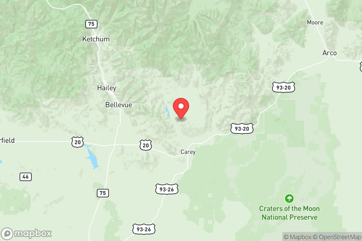
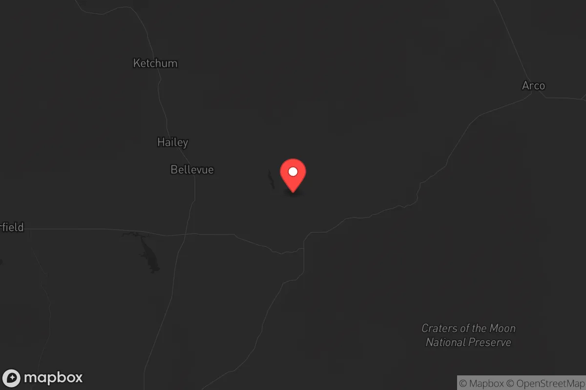
Blaine County, Idaho, sits in a strategic sweet spot that few other places in the Lower 48 can match: it’s far enough from major population centers to avoid the worst of civic unrest, yet close enough to critical infrastructure that you’re not completely cut off. The county’s resilience comes from its location in the central mountains, anchored by the city of Hailey and the larger town of Ketchum, with the Sun Valley resort area acting as a high-value but low-density hub. For a conservative-leaning relocator thinking about long-term preparedness, this area offers a rare combination of natural barriers, resource access, and community cohesion that’s hard to find in the modern landscape.
Geographic position and natural advantages for long-term security
Blaine County sits in the heart of the Sawtooth National Recreation Area, with the Boulder Mountains and Pioneer Mountains forming a natural fortress around the Wood River Valley. The county’s elevation—most of the population lives between 5,000 and 6,000 feet—means you’re above the inversion layers that plague valley cities, and the air quality stays clean even during wildfire season. The Big Wood River runs through the valley, providing a reliable surface water source that’s fed by high-altitude snowpack, not by contested aquifers. From a strategic standpoint, the county’s only major highway is State Highway 75, which runs north-south through the valley; that single choke point means you can monitor and control access to the area with minimal effort. The nearest interstate (I-84) is about 90 minutes south in Twin Falls, and the closest major city—Boise—is a solid 2.5-hour drive over the Galena Summit. That distance is a feature, not a bug: it puts you outside the immediate blast radius of any urban-targeted event, whether that’s a nuclear detonation, a biological release, or a cascading infrastructure failure.
Risks, exposures, and proximity to fallout-relevant landmarks
No place is perfect, and Blaine County has its own set of vulnerabilities that a serious prepper needs to account for. The biggest risk is wildfire: the county sits in a high-elevation forested zone that’s seen increasing fire activity, with the 2007 Castle Rock Fire near Ketchum and the 2013 Beaver Creek Fire serving as recent reminders. If a major fire cuts off Highway 75, you’re effectively trapped in the valley—or cut off from it if you’re outside. The county also sits near the Idaho National Laboratory (INL), about 90 miles east near Arco. INL is a nuclear research facility with active reactors and waste storage; while it’s not a commercial power plant, it’s a potential target for sabotage or accident. The prevailing winds blow east-to-west, meaning fallout from an INL incident would likely miss Blaine County, but it’s worth monitoring. On the plus side, there are no major military bases, refineries, or ports within 150 miles. The closest significant military installation is Mountain Home Air Force Base, about 100 miles southwest, which is a potential target but far enough away that ground-level effects would be minimal. The county’s population density—roughly 23,000 people spread over 2,600 square miles—means you’re not dealing with the kind of mass casualty scenarios you’d see in a city. The real risk here is isolation: if the grid goes down, you’re on your own for weeks, not days.
Practical resilience for a relocator: food, water, energy, and defensibility
For someone serious about self-sufficiency, Blaine County offers a mixed bag. Water is the strong suit: the Big Wood River and its tributaries provide year-round flow, and the high snowpack means you can count on spring runoff even in drought years. The county’s groundwater is generally good, though well depths can run 200-400 feet in the valley floor. Food is the weak point: the growing season is short (about 90-100 frost-free days), and the soil is rocky and alkaline. You’re not going to grow corn or soybeans here; think cold-hardy crops like potatoes, kale, and root vegetables. The local food scene is dominated by tourism-driven restaurants and high-end grocery stores in Ketchum and Hailey, which means supply chains are fragile. A serious relocator should plan for a year’s worth of stored food and a greenhouse setup. Energy is manageable: the county has good solar potential despite the latitude, thanks to clear mountain air, and many homes already have wood stoves for heating. The local utility, Idaho Power, has a decent grid, but it’s vulnerable to wildfire-related outages. Defensibility is where the county shines. The valley is a natural funnel: you can control access at the north end near Galena Summit and the south end near Bellevue. The surrounding mountains provide observation points and natural barriers. The population is predominantly conservative and rural-minded, with a strong hunting and firearms culture—meaning you’re not going to be the only one prepared. The downside is that the county’s wealth (driven by Sun Valley real estate) creates a class divide; the working-class towns of Bellevue and Carey are more practical for a relocator than the high-dollar enclaves of Ketchum.
The overall strategic picture for Blaine County is one of calculated trade-offs. You get exceptional natural defenses, reliable water, and a like-minded community, but you pay for it with a short growing season, wildfire risk, and a dependence on a single road. For a conservative relocator who values independence and is willing to put in the work—stockpiling supplies, hardening a home, learning to hunt and fish—this is one of the better bets in the Intermountain West. It’s not a bug-out location for a weekend warrior; it’s a place to build a life that can withstand the shocks that are coming. The key is to avoid the tourist traps and focus on the working parts of the county—Bellevue, Hailey, and the outlying ranchland—where land is still affordable and the neighbors are more likely to share your worldview. If you’re looking for a place that’s far enough from the chaos to breathe, but close enough to civilization to matter, Blaine County deserves a hard look.
* Values derived from national, state, county, city and local statistics and may differ in a specific area. Last updated: 2026-05-27T19:05:07.000Z
Narrative content on this page is AI-generated and may contain mistakes. Verify any details that matter before acting on them.
ReloMaps may earn a commission from affiliate links at no extra cost to you.