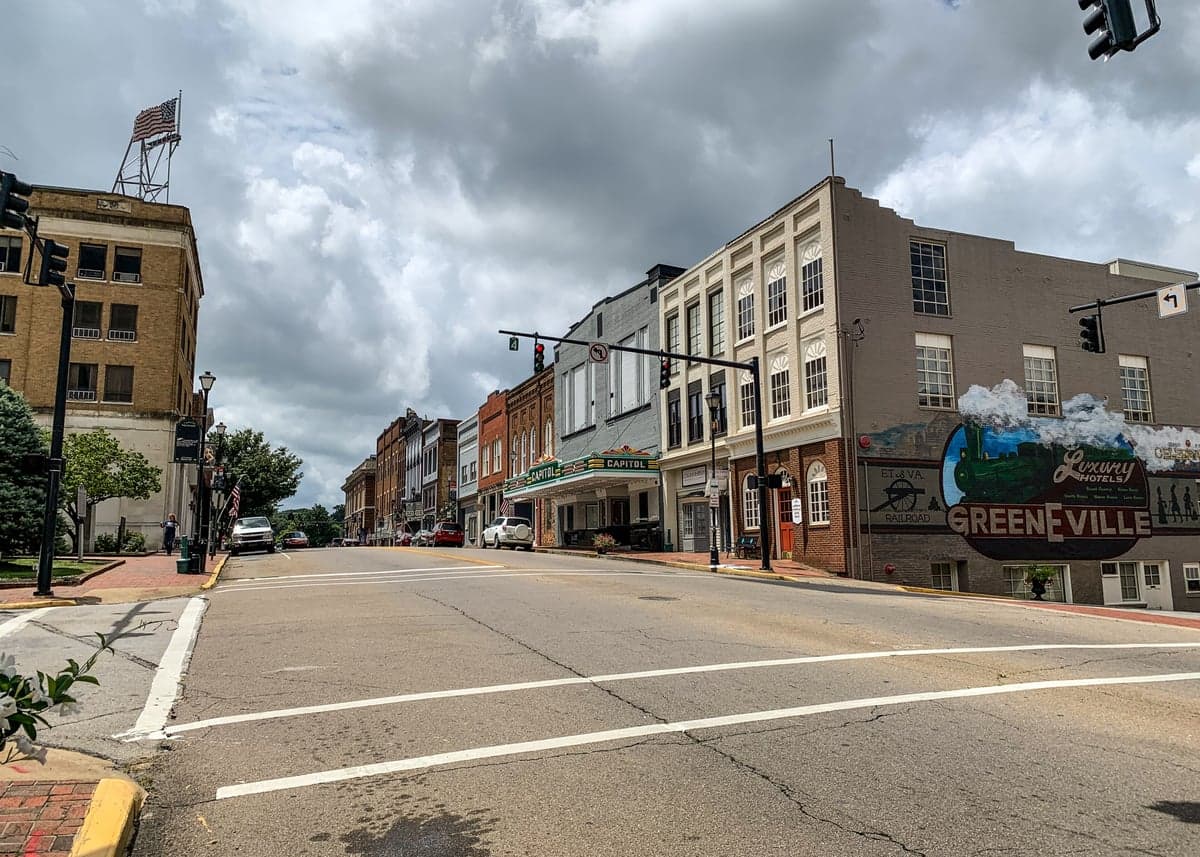
Photo: Wikipedia
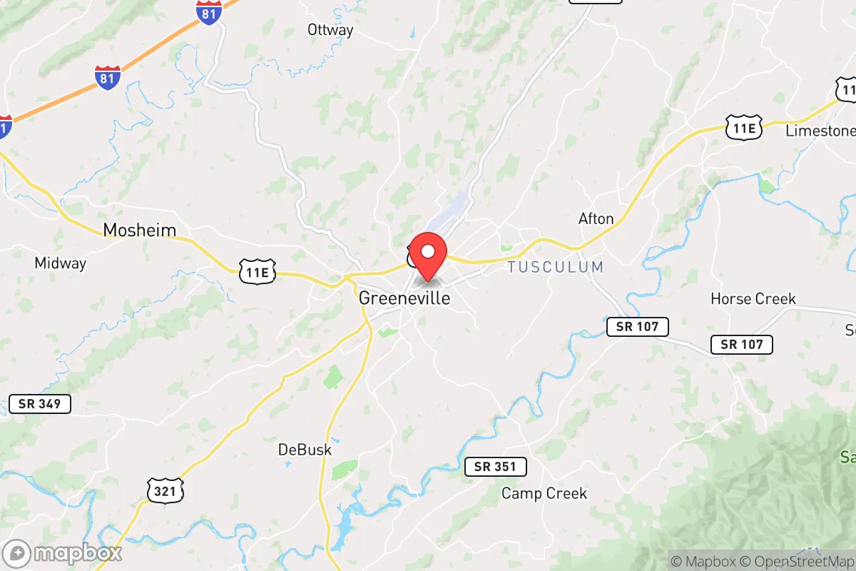
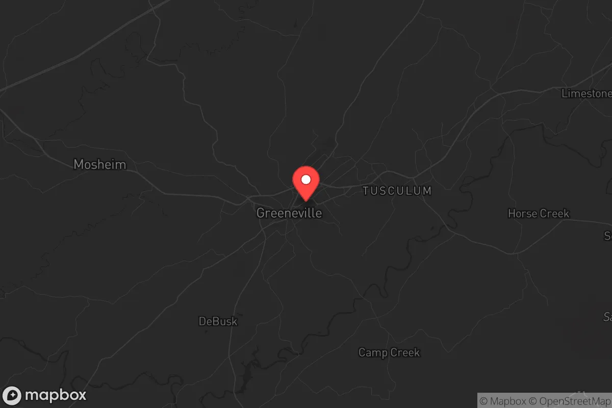
Strategic Assessment of Greeneville, TN
Meaningful friction. Expect exposure to either population pressure, blast zones, or natural disaster risk. Consider buying a retreat property.
What does the Strategic Assessment tell us?
Our Strategic Assessment grades tactical survivability of an area. Major population centers, military targets, fallout zones, natural disasters, and border exposure all drive risk — lower exposure means a more defensible position in a crisis.
This is heavily inspired by Joel Skousen's Strategic Relocation book. Highly recommended you checkout the book ($)What does this tell us?
Our Strategic Assessment grades tactical survivability of an area. Major population centers, military targets, fallout zones, natural disasters, and border exposure all drive risk — lower exposure means a more defensible position in a crisis.
This is heavily inspired by Joel Skousen's Strategic Relocation book. Highly recommended you checkout the book ($)Strategic Pillars

Key Distances
Regional Safe Places
Below is our recommended "safe zones" in Tennessee and the surrounding area based on our strategic heuristics. For most people, it's unrealistic to live in a “safe zone” full-time due to work, family or other personal reasons. They tend to be more rural. However, many of these areas are perfect for second homes and retreat properties that double as a vacation home or even a short-term rental.
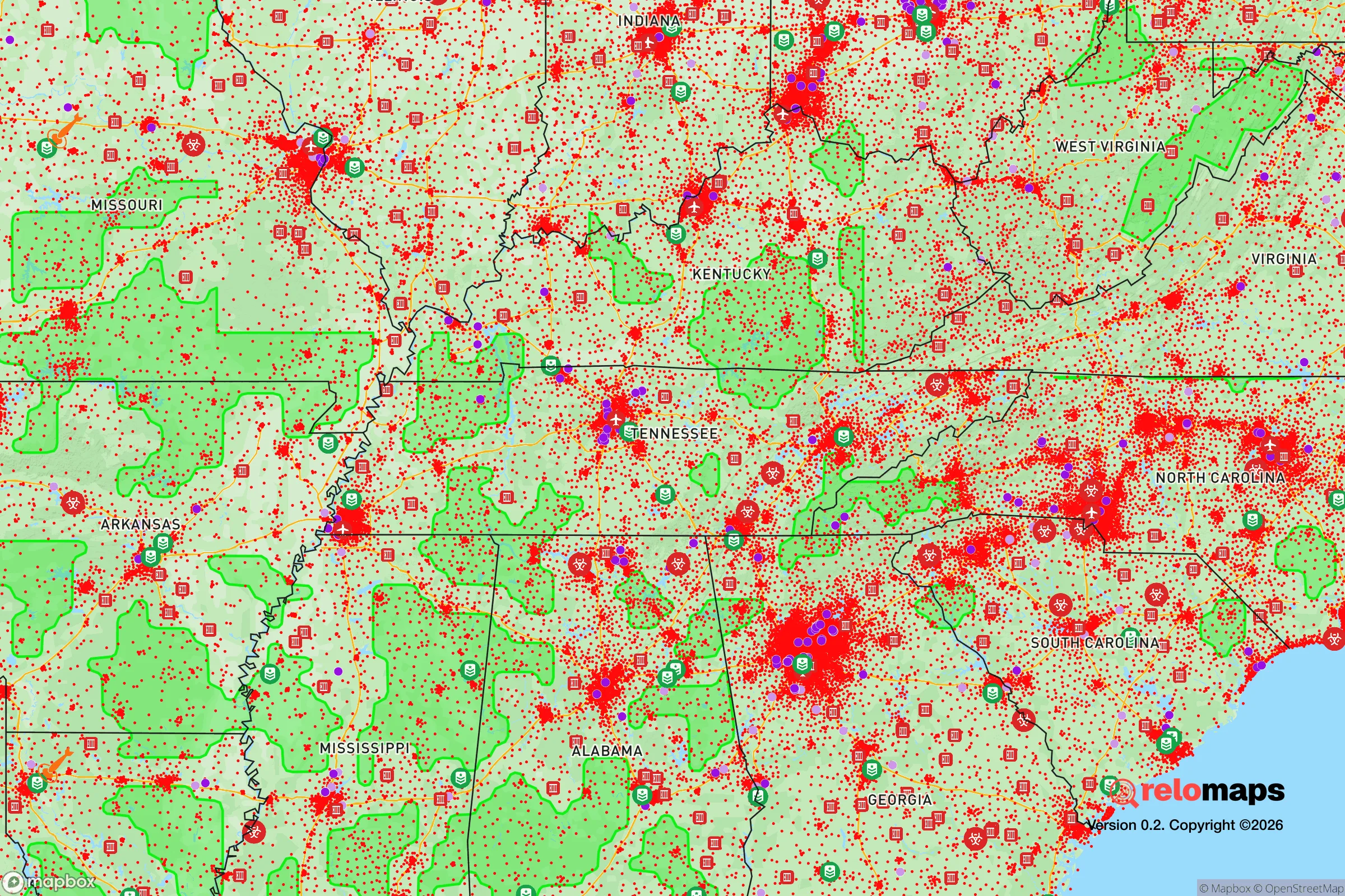
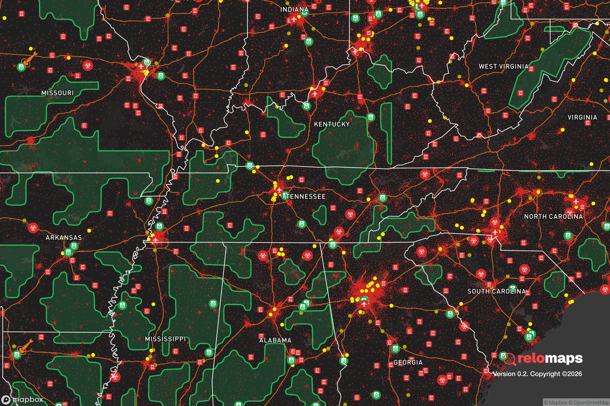
Important Note: For informational purposes only. This does not mean nothing bad ever happens in the green zones. Please use common sense. This is based on public data and modeled with AI. We tried to take a conservative approach but mistakes happen. We update this regularly as new information becomes available.
Solar Generator Recommendations
Backup power matters more here than in safer locations. We've picked three solar generators across budgets and capacity tiers — start with the budget unit if you only need a few essentials, or step up if you want to run a fridge and HVAC for days at a time.

Jackery Portable Power Station Explorer 300
Budget OptionPower on the Go: Weighing only 11 lbs, it's convenient to set up and store with book-sized foldable solar panels

BLUETTI Portable Power Station AC180
Designed for both indoor and outdoor scenarios, AC180 is highly capable as it has a robost capacity and continuous output power.

EF ECOFLOW DELTA Pro Ultra Power Station
Upgraded PickEcoFlow DELTA Pro Ultra is a whole-home energy system designed to grow with your family. Integrated with the Smart Home Panel 2, it scales to meet your evolving energy needs — keeping your home powered, intelligent, and secure through every stage of life.
We earn a commission, at no additional cost to you.
Strategic Assessment Analysis
Greeneville, Tennessee, offers a compelling strategic position for those prioritizing resilience and self-sufficiency in an uncertain future. Nestled in the foothills of the Appalachian Mountains, this town of roughly 15,000 provides a blend of geographic isolation and practical access to resources that makes it a serious contender for relocation. Its location in Greene County, the largest county by land area in Tennessee, offers a buffer from the immediate fallout of major metropolitan crises while still being within a reasonable drive of essential services and supply chains.
Geographic position and natural advantages for long-term security
Greeneville's primary strategic asset is its position within the Appalachian Ridge-and-Valley region. The surrounding mountains and valleys create natural chokepoints and defensible terrain, making large-scale movement through the area difficult for any potential threat. The town sits at the confluence of the Nolichucky River and several smaller creeks, providing a reliable surface water source that is less vulnerable to contamination than shallow wells in flatter regions. The area's elevation, averaging around 1,500 feet, offers a moderate climate that reduces extreme weather risks compared to the Deep South or the Plains. The nearby Cherokee National Forest and the Pisgah National Forest just over the North Carolina border provide vast, sparsely populated zones for foraging, hunting, and potential retreat if needed. Critically, Greeneville is roughly 90 miles from Knoxville and 120 miles from Asheville, North Carolina—close enough for supply runs or medical care in stable times, but far enough to avoid the immediate chaos of a city collapse. The local topography also provides natural cover from electromagnetic pulse (EMP) effects, as the mountains can shield some electronic infrastructure from a high-altitude detonation.
Risks, exposures, and proximity to fallout-relevant landmarks
No location is without vulnerabilities, and Greeneville has several that a serious relocator must weigh. The most significant risk is the proximity to the Oak Ridge National Laboratory and the Y-12 National Security Complex, roughly 70 miles to the west. While not a direct fallout zone for most scenarios, a major incident at these facilities—whether accidental or targeted—could create a plume that affects eastern Tennessee, including Greeneville, depending on wind patterns. Additionally, the town lies within 100 miles of the Tennessee Valley Authority's Browns Ferry Nuclear Plant in Alabama, another potential target or failure point. Interstate 81 runs about 20 miles west of town, a major north-south corridor that could become a clogged evacuation route or a vector for unrest spreading from cities like Knoxville or Bristol. The area is also in a moderate seismic zone; while not California-level, the East Tennessee Seismic Zone produces occasional tremors that could stress older infrastructure. Flooding along the Nolichucky River is a periodic concern, particularly in low-lying areas near the town center, so any property should be evaluated for flood risk. Finally, Greeneville's location in a conservative, rural region means it could be a target for ideological adversaries in a widespread civil unrest scenario, though its low population density works in its favor.
Practical resilience for a relocator: food, water, energy, and defensibility
For the prepper or survivalist, Greeneville offers strong fundamentals. The region's fertile valleys support extensive agriculture—Greene County is a top producer of burley tobacco, corn, and soybeans in Tennessee, and local farmers' markets are abundant. This means a relocator can establish relationships with local growers for direct food sourcing or barter. The Nolichucky River and its tributaries provide a reliable water source, but treatment and storage are essential; the municipal water supply comes from surface sources and could be compromised in a prolonged grid-down event. Wells are common in rural parts of the county, and drilling a private well is a viable option for those buying land. Energy resilience is moderate: the area is served by the Tennessee Valley Authority, which has a relatively robust grid, but ice storms and summer thunderstorms cause frequent outages. Solar potential is decent, with about 200 sunny days per year, though the mountainous terrain can reduce panel efficiency in shaded valleys. Wood heating is practical, given the abundant forests, and many homes already have wood stoves or fireplaces. Defensibility is a mixed bag. The town itself is compact and walkable, with a historic downtown that could be secured by a determined community. However, the surrounding rural areas offer better options for a standalone homestead with clear sightlines and limited road access. The local culture is heavily armed and self-reliant—Greene County has a high rate of gun ownership and a strong hunting tradition—which means a newcomer who integrates well will find neighbors who are assets, not liabilities. The Greeneville Police Department and Greene County Sheriff's Office are professional but small; in a major crisis, you are largely on your own, which aligns with the prepper mindset.
The overall strategic picture for Greeneville
Greeneville presents a solid B+ grade for strategic relocation. It avoids the worst vulnerabilities of deep rural isolation—like being hours from medical care or supply chains—while maintaining enough distance from major population centers to avoid the initial shockwaves of a collapse. The natural water, arable land, and defensible terrain provide a foundation for long-term self-sufficiency. The main trade-offs are the proximity to Oak Ridge and the nuclear infrastructure, which introduces a low-probability but high-consequence risk, and the moderate seismic activity that could complicate infrastructure resilience. For a conservative-leaning individual or family looking to build a prepared life, Greeneville offers a community that already shares many of your values—self-reliance, local governance, and a suspicion of federal overreach. The key is to secure property with a private water source, establish relationships with local farmers and tradesmen before a crisis hits, and invest in backup power and food storage. If you can accept the nuclear shadow to the west, this is one of the stronger options in the Appalachian region for those who want to be ready for whatever comes.
* Values derived from national, state, county, city and local statistics and may differ in a specific area. Last updated: 2026-05-01T05:25:28.000Z
Narrative content on this page is AI-generated and may contain mistakes. Verify any details that matter before acting on them.
ReloMaps may earn a commission from affiliate links at no extra cost to you.