
Photo: Wikipedia
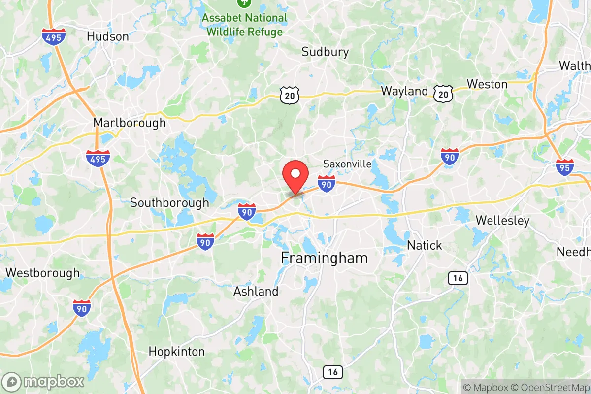
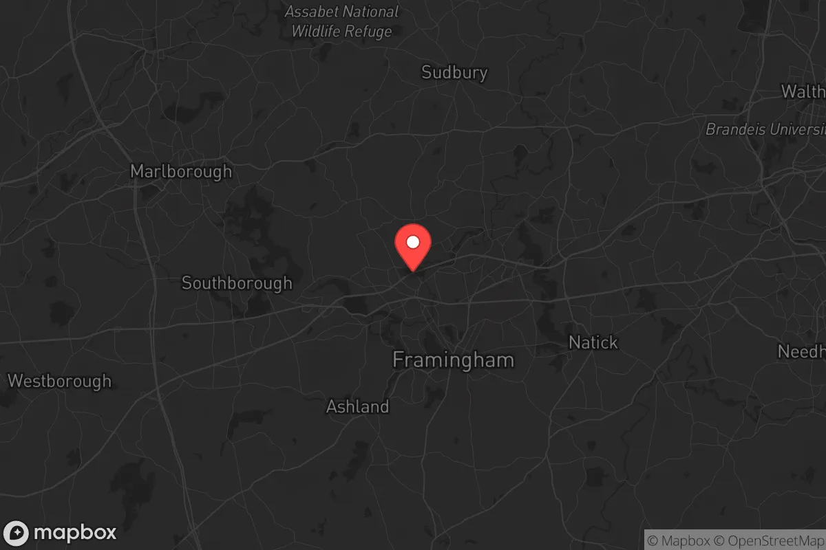
Strategic Assessment of Framingham, MA
Multiple tactical vulnerabilities. Population density, target proximity, or disaster risk are likely compounding. A retreat property and exit planning is required.
What does the Strategic Assessment tell us?
Our Strategic Assessment grades tactical survivability of an area. Major population centers, military targets, fallout zones, natural disasters, and border exposure all drive risk — lower exposure means a more defensible position in a crisis.
This is heavily inspired by Joel Skousen's Strategic Relocation book. Highly recommended you checkout the book ($)What does this tell us?
Our Strategic Assessment grades tactical survivability of an area. Major population centers, military targets, fallout zones, natural disasters, and border exposure all drive risk — lower exposure means a more defensible position in a crisis.
This is heavily inspired by Joel Skousen's Strategic Relocation book. Highly recommended you checkout the book ($)Strategic Pillars

Key Distances
Regional Safe Places
Below is our recommended "safe zones" in Massachusetts and the surrounding area based on our strategic heuristics. For most people, it's unrealistic to live in a “safe zone” full-time due to work, family or other personal reasons. They tend to be more rural. However, many of these areas are perfect for second homes and retreat properties that double as a vacation home or even a short-term rental.


Important Note: For informational purposes only. This does not mean nothing bad ever happens in the green zones. Please use common sense. This is based on public data and modeled with AI. We tried to take a conservative approach but mistakes happen. We update this regularly as new information becomes available.
Solar Generator Recommendations
Backup power matters more here than in safer locations. We've picked three solar generators across budgets and capacity tiers — start with the budget unit if you only need a few essentials, or step up if you want to run a fridge and HVAC for days at a time.

Jackery Portable Power Station Explorer 300
Budget OptionPower on the Go: Weighing only 11 lbs, it's convenient to set up and store with book-sized foldable solar panels

BLUETTI Portable Power Station AC180
Designed for both indoor and outdoor scenarios, AC180 is highly capable as it has a robost capacity and continuous output power.

EF ECOFLOW DELTA Pro Ultra Power Station
Upgraded PickEcoFlow DELTA Pro Ultra is a whole-home energy system designed to grow with your family. Integrated with the Smart Home Panel 2, it scales to meet your evolving energy needs — keeping your home powered, intelligent, and secure through every stage of life.
We earn a commission, at no additional cost to you.
Strategic Assessment Analysis
Framingham, Massachusetts, sits in a precarious strategic position that demands a clear-eyed assessment. Its location along the Massachusetts Turnpike (I-90) and near I-495 offers rapid access to Boston (20 miles east) and Worcester (25 miles west), which is a double-edged sword: it provides logistical mobility for resupply or evacuation, but also places you squarely in the path of any mass evacuation or civil unrest radiating from those urban centers. For a relocator with a survivalist mindset, Framingham’s resilience is not in its isolation—it has none—but in its potential as a waypoint or a “hardened suburb” if you can secure a defensible property and build local networks before the balloon goes up. The town’s population of roughly 72,000 (2020 census) and dense suburban layout mean you cannot rely on anonymity or low visibility; your preparedness will depend on community ties and physical hardening, not on disappearing into the woods.
Geographic position and natural advantages for long-term survival
Framingham’s geography offers a mix of assets and liabilities. The town sits on the Sudbury River, which feeds into the Concord River and eventually the Merrimack—a viable water source for filtration if municipal supplies fail. The area is part of the Eastern Massachusetts drumlin belt, meaning rolling hills and scattered wetlands that provide some natural cover and defensible terrain, but no true high ground or chokepoints. The nearby Callahan State Park (700+ acres) and Cochituate State Park (1,000+ acres) offer woodlands for foraging, hunting, and temporary retreat, but they are small and will be quickly overrun by refugees from Boston or Worcester in a crisis. The real natural advantage is the region’s temperate climate: you can grow food from April to October, and the ample rainfall (average 48 inches per year) reduces the risk of drought compared to the Southwest. However, the soil is rocky and acidic—typical New England glacial till—so raised beds or imported soil are necessary for serious gardening. For a prepper, the best natural asset is the proximity to the Massachusetts Water Resources Authority (MWRA) reservoir system, which includes the Sudbury Reservoir and Foss Reservoir within town limits. If you can secure a property near one of these with legal or semi-legal access, you have a reliable water source that will outlast municipal treatment plants.
Risks, exposures, and proximity to fallout-relevant landmarks
This is where Framingham’s strategic picture darkens. The town is directly adjacent to the Massachusetts Turnpike and the Framingham/Worcester commuter rail line, both of which are primary evacuation corridors. In a mass casualty event or civil unrest, these routes will become clogged, targeted, or controlled by state or federal forces. Worse, Framingham is within the 50-mile fallout zone of the Pilgrim Nuclear Power Station (Plymouth, MA) and the Seabrook Station (NH), though prevailing winds typically blow east or northeast, pushing contamination toward the coast. The real nuclear risk is closer: the Framingham-based U.S. Army’s Soldier Systems Center (Natick Labs) and the nearby Hanscom Air Force Base (Bedford) are potential targets for sabotage or conventional strikes in a conflict scenario. The Soldier Systems Center develops uniforms, rations, and protective gear—a high-value asset that could draw hostile attention. Additionally, the town’s dense suburban layout (average 2,500 people per square mile) means that any biological or chemical incident—whether accidental or intentional—will spread rapidly through shared ventilation, water, and transit systems. For a relocator, the biggest exposure is the lack of defensible space: most homes sit on quarter-acre lots with neighbors within earshot. A single house fire, gunshot, or riot will draw immediate attention from police and neighbors, making low-profile operations nearly impossible. The town’s police force (about 130 sworn officers) is well-funded but will be overwhelmed in a regional crisis, and the Framingham Fire Department’s mutual aid agreements with Boston and Worcester mean resources will be pulled outward, not inward.
Practical resilience for a relocator: food, water, energy, and defensibility
For a relocator serious about self-sufficiency, Framingham requires significant upfront investment. Food security is the weakest link: the town has only a handful of community gardens and no large-scale agricultural land within its borders. The closest reliable farmland is in Sudbury and Wayland (10-15 minutes west), but those areas will be contested. You’ll need to establish a home garden immediately—raised beds with cold frames for season extension—and stockpile at least six months of non-perishable food, as local grocery stores (Stop & Shop, Market Basket) will empty within 48 hours of a crisis. Water is more promising: the MWRA system is gravity-fed from the Quabbin Reservoir, meaning it may continue flowing even if power fails, but you cannot rely on it. Install a 1,000-gallon rainwater catchment system and a Berkey or similar gravity filter; the Sudbury River is close but heavily polluted with agricultural runoff and urban contaminants, so boiling or chemical treatment is mandatory. Energy is a mixed bag: Framingham’s grid is served by Eversource, which has a history of outages during nor’easters and ice storms (average 1-2 multi-day outages per year). Solar panels with battery storage (e.g., Tesla Powerwall) are viable, but the town’s tree cover and historic district restrictions may limit placement. A backup generator running on propane or natural gas is essential, but note that natural gas lines are vulnerable to seismic events or sabotage. Defensibility is the hardest challenge. The ideal property is a corner lot with a fenced backyard, reinforced doors, and a basement with a secondary exit. Multi-family homes (common in Framingham’s downtown) are a liability—shared walls mean shared risk. The best neighborhoods for preppers are the more rural edges: Saxonville, Nobscot, or the area near the Sudbury Reservoir, where lot sizes increase to 1-2 acres and tree cover provides some concealment. Even there, you are never more than a mile from a main road, so a bug-out vehicle (preferably a 4x4 with off-road capability) and a secondary route to I-495 or Route 9 are non-negotiable.
The overall strategic picture for Framingham is that of a high-risk, high-effort location that rewards preparation but punishes complacency. It is not a retreat—it is a forward operating base. If you can secure a property with water access, solar power, and a defensible perimeter, and if you build relationships with like-minded neighbors before the crisis, you can ride out a short-term disruption (weeks to months) and then leverage the town’s transport links to move to a more secure rural location in central or western Massachusetts. But if you are looking for a place to hunker down indefinitely, Framingham’s density, proximity to targets, and lack of agricultural land make it a poor choice. The conservative prepper’s calculus here is simple: the town’s advantages are logistical, not existential. Use it as a staging ground, not a final destination.
* Values derived from national, state, county, city and local statistics and may differ in a specific area. Last updated: 2026-05-01T02:57:55.000Z
Narrative content on this page is AI-generated and may contain mistakes. Verify any details that matter before acting on them.
ReloMaps may earn a commission from affiliate links at no extra cost to you.