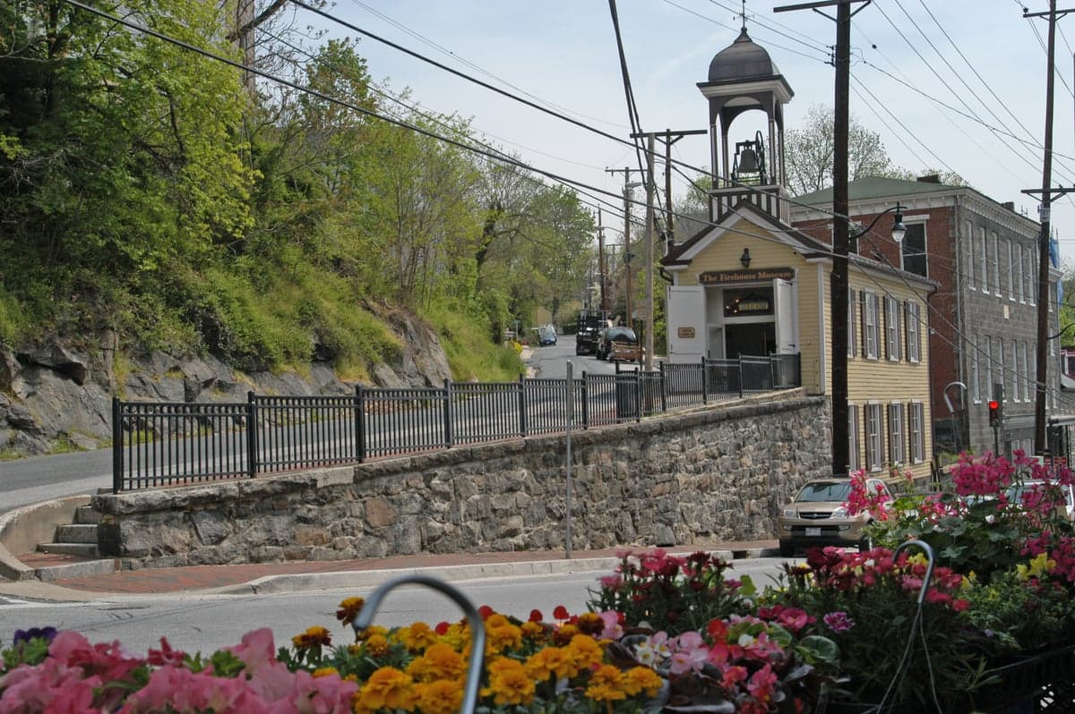
Photo: Wikipedia
Political ClimatePolitical Climate in Ellicott City, MD
District shown is the primary district for this city’s centroid. Cities may span multiple districts.
Local Political AnalysisPolitical Analysis of Ellicott City, MD
Ellicott City is a solidly blue suburb that has been trending even further left over the past decade, though it remains slightly more moderate than Maryland as a whole. With a Cook Partisan Voting Index (PVI) of D+12, it leans Democratic by a comfortable margin, but that’s still a few points shy of the state’s D+17 rating. In practice, this means Ellicott City reliably votes for Democratic candidates in presidential and statewide races, but local elections can be more competitive than in deep-blue strongholds like Montgomery County or Baltimore City. The shift has been steady: as recently as 2012, the area was closer to D+8, and the 2016 and 2020 cycles saw a noticeable acceleration toward the left, driven largely by younger families moving in from more expensive parts of the D.C. metro and by changing demographics in Howard County.
How it compares
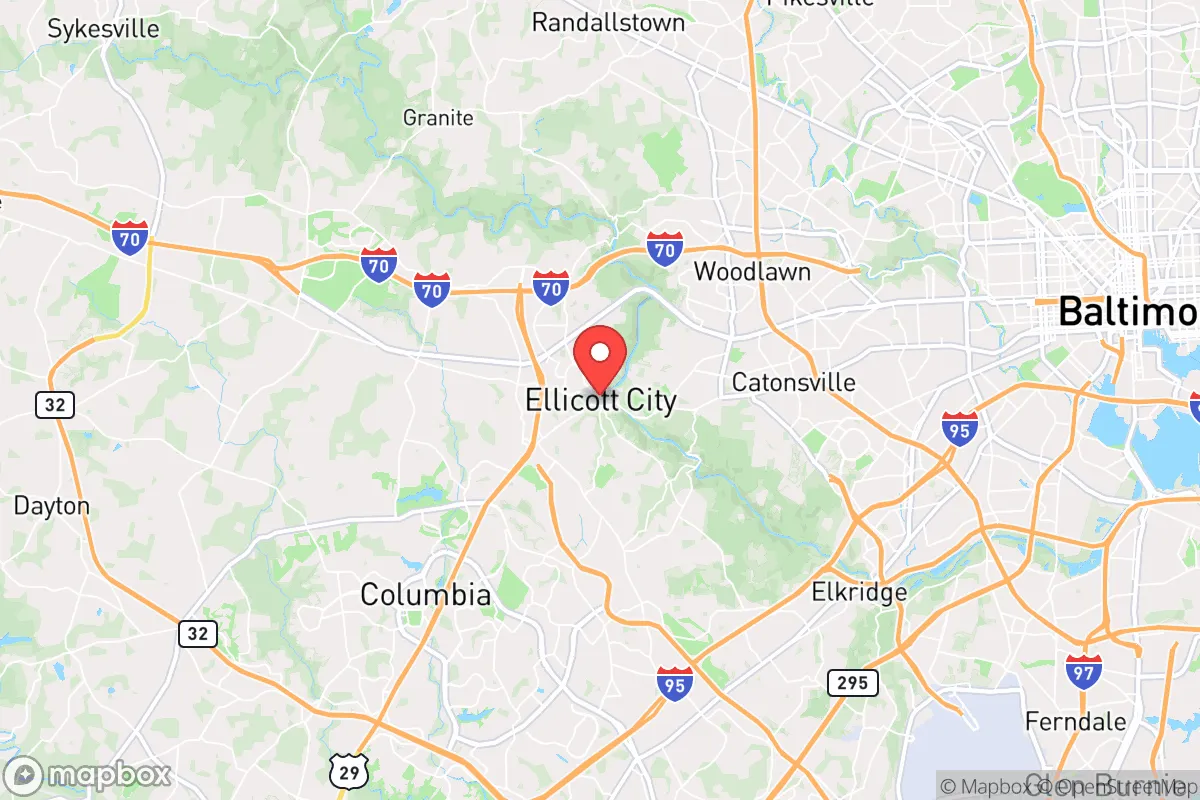
Compared to Maryland’s overall D+17, Ellicott City is a touch more purple, but that’s relative. Drive 15 minutes west to Sykesville or Mount Airy in Carroll County, and you’ll hit R+14 territory—a stark contrast that makes Ellicott City feel like a blue island in a sea of red when you head that direction. Head east toward Catonsville or Arbutus in Baltimore County, and you’ll find areas that are more competitive, often leaning D+5 to D+8. The real difference between Ellicott City and the state average comes down to turnout and intensity: Howard County as a whole has one of the highest voter participation rates in Maryland, and Ellicott City’s precincts consistently turn out at 75-80% in general elections. That high engagement tends to amplify the Democratic lean, even if the PVI is a few points softer than the state’s. For context, the city of Baltimore has a PVI of D+27, so Ellicott City is nowhere near that level of one-party dominance—there’s still a visible Republican minority, especially in the older neighborhoods near the historic district.
What this means for residents
For liberal residents, the political climate means their views are broadly reflected in local policy—Howard County’s government has been Democratic-controlled for decades, and issues like public transit expansion, affordable housing mandates, and environmental regulations are generally supported. Conservative residents, however, aren’t entirely shut out. The county executive race in 2022 was decided by a 58-42 margin, and there are still Republican voices on the county council and school board. In practice, a conservative in Ellicott City will find their property taxes among the highest in the state (around 1.1% of assessed value) and will see strong support for gun control measures and sanctuary policies, but they’ll also find a well-funded school system and low crime rates that many red counties can’t match. The real friction point is cultural: the area’s rapid development and influx of out-of-state transplants have shifted the vibe from a quiet mill town to a bustling, diverse suburb, and that change has been a source of tension for longer-term residents regardless of party.
One cultural distinction worth noting is that Ellicott City’s historic district—with its flood-prone Main Street and fiercely independent small businesses—tends to produce more libertarian-leaning voters than the cookie-cutter subdivisions in the western part of the county. You’ll find “Keep Ellicott City Weird” bumper stickers next to “We Believe” signs, and the local politics often revolve around development density and flood mitigation rather than national culture wars. That local focus means the political climate here is less about red vs. blue and more about how to manage growth without losing the character that made people move here in the first place. Looking ahead, the trajectory is clear: as more D.C. commuters arrive and the county’s population diversifies, Ellicott City will likely continue inching toward the state’s D+17 average, but it’ll probably never become as uniformly blue as Takoma Park or College Park. The mix of old-timers, new arrivals, and a strong independent streak keeps things interesting.

State Political ClimatePolitical Climate in Maryland
State Political AnalysisPolitical Environment in the State
Maryland is one of the most reliably Democratic states in the country, with a Cook Partisan Voting Index of D+17, meaning it votes about 17 points more Democratic than the national average in presidential elections. The state hasn't voted for a Republican presidential candidate since George H.W. Bush in 1988, and Democrats hold supermajorities in both chambers of the General Assembly. However, that blue veneer hides a deeply divided state — the population-heavy, wealthy suburbs of Washington, D.C. and Baltimore drive the statewide results, while large swaths of rural Maryland vote as red as anywhere in the South. Over the last 10-20 years, the state has shifted further left on social and cultural issues, even as its tax-and-spend posture has remained fairly consistent.
Urban vs. rural divide
The political map of Maryland is a textbook case of the urban-rural split. Montgomery County (just north of D.C.) and Prince George's County (east of D.C.) alone account for nearly a third of the state's vote, and both routinely deliver 75-85% Democratic margins. Baltimore City is similarly lopsided, voting about 85% Democratic in recent cycles. These three jurisdictions are the engine of the state's blue lean. In contrast, the Eastern Shore counties — Wicomico, Worcester, Queen Anne's — and the western panhandle counties like Garrett and Allegany vote 60-70% Republican. Frederick County, once a reliably red exurban area, has been trending purple as D.C. commuters push north; it voted for Joe Biden in 2020 by a slim margin. Harford County northeast of Baltimore remains solidly red, while Howard County between Baltimore and D.C. is now reliably blue. The divide isn't just about population density — it's about economic base: the D.C. suburbs are dominated by federal contractors, lobbyists, and government employees, while rural areas rely on agriculture, manufacturing, and tourism.
Policy environment
Maryland's policy environment is consistently progressive, with a tax structure that is among the highest in the nation. The state has a progressive income tax with rates from 2% to 5.75%, and localities can add their own piggyback tax (Montgomery County's combined rate tops 8.5%). Property taxes are moderate but vary widely by county. Sales tax is 6%, with no local add-ons. The regulatory posture is business-friendly in some sectors (biotech, cybersecurity) but heavy on labor and environmental rules. Education policy is a perennial battleground: the state spends over $17,000 per pupil, among the highest in the U.S., but achievement gaps persist, especially between wealthy suburbs and Baltimore City. The Blueprint for Maryland's Future, a massive 10-year education reform plan passed in 2021, aims to expand pre-K, raise teacher salaries, and increase funding for low-income schools — but it's already facing funding shortfalls. Healthcare is dominated by the state's own exchange (Maryland Health Connection), and the state expanded Medicaid under the ACA. Election laws are among the most accessible in the country: no-excuse mail-in voting, same-day registration, and early voting are all standard. Gun laws are strict: a "good and substantial reason" is required for a concealed carry permit (though that requirement was struck down by a federal court in 2022 and is under appeal), and the state bans assault weapons and high-capacity magazines.
Recent policy direction
In the last five years, Maryland has moved decisively left on several fronts. On gun and self-defense law, the General Assembly passed the Gun Safety Act of 2023, which bans firearms in most public places (parks, libraries, hospitals) and requires liability insurance for gun owners — a law currently being challenged in court. On parental and education rights, the state has expanded LGBTQ+ inclusive curriculum in public schools and passed a law requiring schools to notify parents if a student changes their name or pronouns, but only if the student consents — a compromise that satisfied neither side fully. On speech and privacy, Maryland passed one of the nation's strongest online data privacy laws in 2024, giving residents control over how companies use their personal data. On medical and bodily autonomy, the state has codified abortion rights into law (the Abortion Care Access Act of 2022), expanded Medicaid coverage for gender-affirming care, and passed a shield law protecting providers who serve out-of-state patients. On property rights, the state has been aggressive in using eminent domain for redevelopment projects, particularly in Baltimore and Prince George's County. On taxation, the trend is toward higher taxes on the wealthy: in 2024, the legislature passed a new 4% surtax on incomes over $1 million to fund transportation projects. On voting and ballot access, the state has made mail-in voting permanent and expanded early voting to 10 days.
Civil unrest & political movements
Maryland has a long history of political activism, from the 2015 Baltimore protests after Freddie Gray's death to ongoing fights over police reform. The state is a sanctuary jurisdiction: Montgomery County, Prince George's County, and Baltimore City all limit cooperation with federal immigration enforcement. The "Blue Lives Matter" movement has a strong presence in rural counties and among law enforcement unions, but hasn't translated into legislative wins at the state level. Election integrity controversies have been relatively muted compared to other states, though the 2020 election saw some localized disputes over mail-in ballot processing in Baltimore. The most visible flashpoint for a new resident would likely be the annual battle over the state budget, which often pits the Democratic supermajority against Republican Governor Wes Moore (a Democrat) over spending levels. The "Keep Maryland Red" movement is active in the western panhandle and Eastern Shore, but has little statewide influence. There's no serious secession or nullification rhetoric, though some rural counties have passed symbolic resolutions opposing state gun laws.
Projection
Over the next 5-10 years, Maryland is likely to remain solidly Democratic, but the margin may narrow slightly as in-migration from D.C. suburbs pushes Frederick and Howard counties further left, while out-migration from Baltimore City and rural areas continues. The biggest wild card is the state's fiscal health: the Blueprint for Maryland's Future and the transportation funding surtax are both facing revenue shortfalls, which could force either tax increases or service cuts. The gun control and abortion access laws are likely to survive legal challenges, given the state's liberal judiciary. The biggest practical change a new resident might see is continued suburbanization of the D.C. exurbs, bringing more liberal voters to once-red areas like Frederick and Carroll counties. The state's aging population (Maryland has one of the highest median ages in the region) could shift priorities toward healthcare and retirement issues. For conservatives, the outlook is for continued minority status in state government, with occasional veto-proof majorities on key issues.
For a new resident, the bottom line is this: if you're liberal, you'll find Maryland's policy environment comfortable and its protections for abortion, LGBTQ+ rights, and voting access among the strongest in the nation. If you're conservative, you'll face high taxes, strict gun laws, and a state government that is unlikely to change direction anytime soon. The practical trade-off is that the D.C. suburbs offer some of the best public schools and highest-paying jobs in the country, while rural Maryland offers lower costs and a more traditional lifestyle — but with limited political influence. The state's political reality is stable, predictable, and unlikely to surprise anyone who does their homework.
* Values derived from national, state, county, city and local statistics and may differ in a specific area. Last updated: 2026-08-26T18:44:07.000Z
Narrative content on this page is AI-generated and may contain mistakes. Verify any details that matter before acting on them.
ReloMaps may earn a commission from affiliate links at no extra cost to you.

