
Photo: Wikipedia
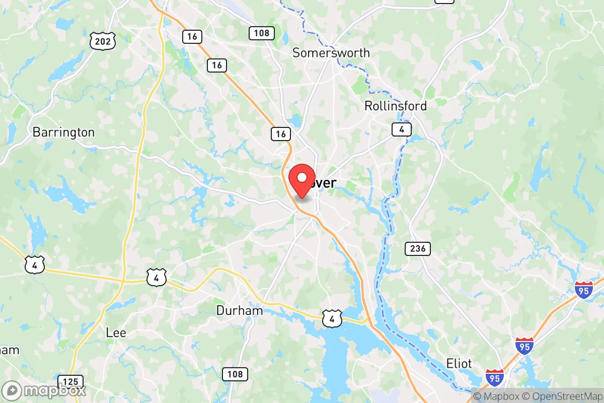
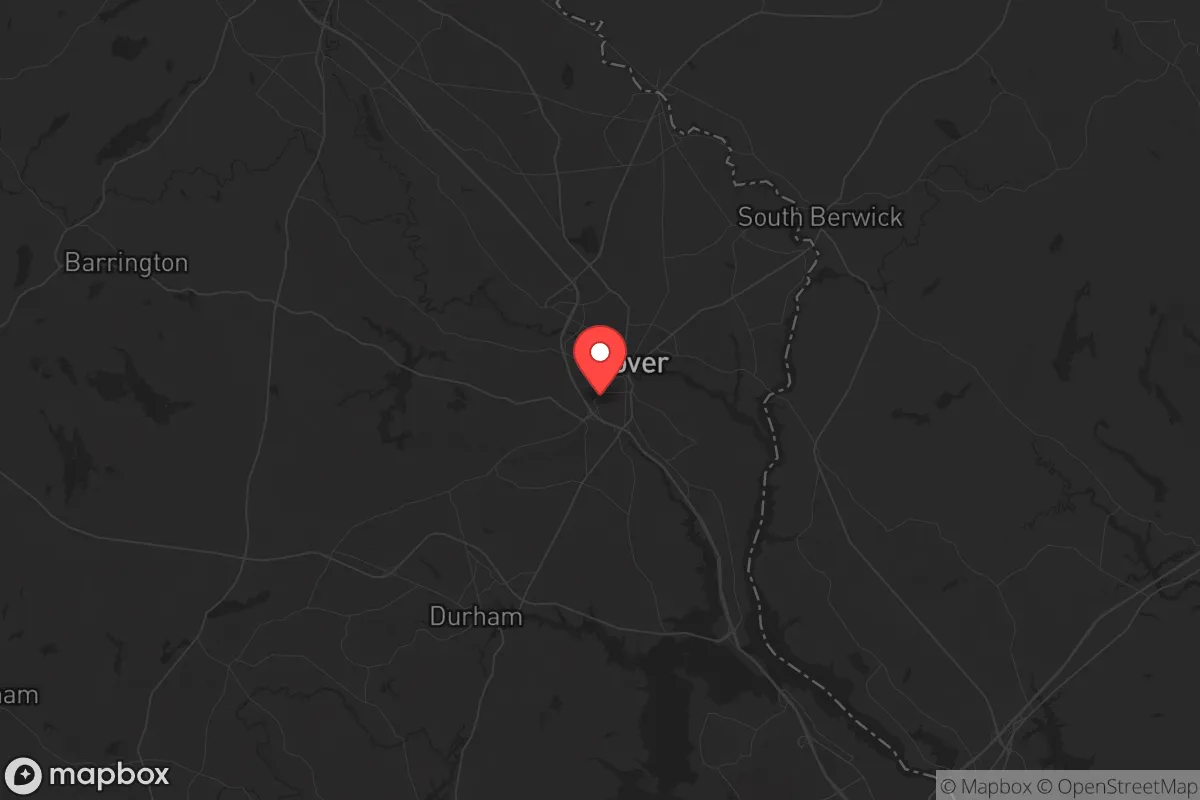
Strategic Assessment of Dover, NH
Multiple tactical vulnerabilities. Population density, target proximity, or disaster risk are likely compounding. A retreat property and exit planning is required.
What does the Strategic Assessment tell us?
Our Strategic Assessment grades tactical survivability of an area. Major population centers, military targets, fallout zones, natural disasters, and border exposure all drive risk — lower exposure means a more defensible position in a crisis.
This is heavily inspired by Joel Skousen's Strategic Relocation book. Highly recommended you checkout the book ($)What does this tell us?
Our Strategic Assessment grades tactical survivability of an area. Major population centers, military targets, fallout zones, natural disasters, and border exposure all drive risk — lower exposure means a more defensible position in a crisis.
This is heavily inspired by Joel Skousen's Strategic Relocation book. Highly recommended you checkout the book ($)Strategic Pillars

Key Distances
Regional Safe Places
Below is our recommended "safe zones" in New Hampshire and the surrounding area based on our strategic heuristics. For most people, it's unrealistic to live in a “safe zone” full-time due to work, family or other personal reasons. They tend to be more rural. However, many of these areas are perfect for second homes and retreat properties that double as a vacation home or even a short-term rental.


Important Note: For informational purposes only. This does not mean nothing bad ever happens in the green zones. Please use common sense. This is based on public data and modeled with AI. We tried to take a conservative approach but mistakes happen. We update this regularly as new information becomes available.
Solar Generator Recommendations
Backup power matters more here than in safer locations. We've picked three solar generators across budgets and capacity tiers — start with the budget unit if you only need a few essentials, or step up if you want to run a fridge and HVAC for days at a time.

Jackery Portable Power Station Explorer 300
Budget OptionPower on the Go: Weighing only 11 lbs, it's convenient to set up and store with book-sized foldable solar panels

BLUETTI Portable Power Station AC180
Designed for both indoor and outdoor scenarios, AC180 is highly capable as it has a robost capacity and continuous output power.

EF ECOFLOW DELTA Pro Ultra Power Station
Upgraded PickEcoFlow DELTA Pro Ultra is a whole-home energy system designed to grow with your family. Integrated with the Smart Home Panel 2, it scales to meet your evolving energy needs — keeping your home powered, intelligent, and secure through every stage of life.
We earn a commission, at no additional cost to you.
Strategic Assessment Analysis
Dover, New Hampshire, presents a mixed strategic picture for the conservative prepper: it offers genuine resilience advantages in its local geography and community character, but its proximity to major population centers and critical infrastructure introduces significant risks that cannot be ignored. The city sits roughly 60 miles north of Boston and 15 miles from the Atlantic coast, placing it within the outer ring of a major metropolitan area’s fallout zone while still retaining a semi-rural buffer. For a relocator prioritizing self-sufficiency and low-profile living, Dover’s location demands careful trade-off analysis—the area’s natural resources and community cohesion are real assets, but the exposure to cascading threats from a regional collapse is equally real.
Geographic position and natural advantages for long-term survival
Dover’s position along the Cocheco River and within the Piscataqua River watershed provides a reliable freshwater source, a critical asset for any long-term resilience plan. The surrounding Strafford County is characterized by mixed forest, rolling hills, and agricultural land, offering ample opportunities for hunting, foraging, and small-scale farming. The city itself sits on a bedrock foundation of granite and metamorphic rock, which reduces the risk of seismic activity and provides stable ground for well drilling and root cellars. The climate is temperate with four distinct seasons—cold winters that can stress unprepared populations but also slow the spread of disease and pests, and moderate summers that support crop growth. The area’s elevation, averaging around 50 feet above sea level, keeps it above most storm surge risks from the coast, though inland flooding from heavy rain remains a concern. For a relocator seeking a location with natural water, arable land, and moderate defensibility, Dover’s geography is a net positive—provided you secure a property with a private well and septic system, as municipal infrastructure is a single-point failure in any prolonged grid-down scenario.
Risks, exposures, and proximity to fallout-relevant landmarks
The most glaring vulnerability in Dover’s strategic profile is its proximity to the Boston metropolitan area—a population center of over 4.8 million people that would become a humanitarian catastrophe in any major disaster, whether natural, economic, or civil. In a mass casualty event or societal collapse, the 60-mile corridor between Boston and Dover would become a funnel for refugees, looters, and desperate populations fleeing the city. Interstate 95 and the Spaulding Turnpike (Route 16) run directly through Dover, making it a natural choke point and target for movement. Additionally, the Seabrook Nuclear Power Station lies just 20 miles south of Dover, along the coast. While the plant has a strong safety record, any nuclear incident—whether from accident, sabotage, or attack—would place Dover within the 10-mile emergency planning zone for radiological exposure. The Portsmouth Naval Shipyard, located on an island in the Piscataqua River about 10 miles east, is a strategic military asset that could become a target in any conflict scenario. For the prepper, these landmarks mean that Dover is not a remote retreat—it is a suburban buffer zone with real exposure to the worst-case outcomes of regional instability.
Practical resilience for a relocator: food, water, energy, and defensibility
On the practical side, Dover offers several advantages for a relocator willing to invest in off-grid infrastructure. The local water table is high and generally clean, with many properties in the surrounding towns of Rollinsford, Somersworth, and Madbury supporting private wells at depths of 100 to 300 feet. The soil in the Cocheco River valley is loamy and well-drained, suitable for vegetable gardens and small orchards, though the growing season is short (roughly 140 frost-free days). For energy, the region has good solar potential—about 4.5 peak sun hours per day—and wood is abundant for heating and cooking. The local building stock includes many older homes with basements and stone foundations, which can be reinforced for storm shelters or safe rooms. Defensibility is moderate: the terrain is not mountainous, but the dense forest and winding back roads (like Route 108 and Route 9) provide natural cover and chokepoints for a prepared group. The community itself is a double-edged sword. Dover has a strong sense of local identity and a history of self-reliance—the city’s annual Cocheco Arts Festival and farmers’ markets reflect a community that values local production. However, the population has grown by about 10% since 2010, and new developments are bringing in more commuters who lack rural skills. For the prepper, the key is to secure land outside the city core—ideally in the surrounding towns where zoning is looser and neighbors are more likely to share your mindset. The local gun culture is robust, with the New Hampshire Fish and Game Department reporting over 50,000 active hunting licenses in the region, and the state’s constitutional carry law means no permit is needed to carry a concealed firearm. This is a significant plus for self-defense planning.
Overall, Dover is a location that demands a clear-eyed assessment. It is not a bug-out location for a total collapse—the proximity to Boston, the nuclear plant, and the naval shipyard are real liabilities that cannot be mitigated by any amount of prepping. But for a relocator who wants to stay within a few hours of the Northeast’s economic centers while building a resilient lifestyle, Dover offers a workable middle ground. The key is to buy property with a well, septic, and wood heat, and to establish relationships with local farmers and tradesmen before any crisis hits. If you can accept the risks of being in the outer ring of a major metro area, and you have the resources to harden your position, Dover can be a viable base for weathering the storms ahead. Just don’t mistake it for a remote sanctuary—it’s a strategic outpost, not a fortress.
* Values derived from national, state, county, city and local statistics and may differ in a specific area. Last updated: 2026-05-02T03:52:38.000Z
Narrative content on this page is AI-generated and may contain mistakes. Verify any details that matter before acting on them.
ReloMaps may earn a commission from affiliate links at no extra cost to you.