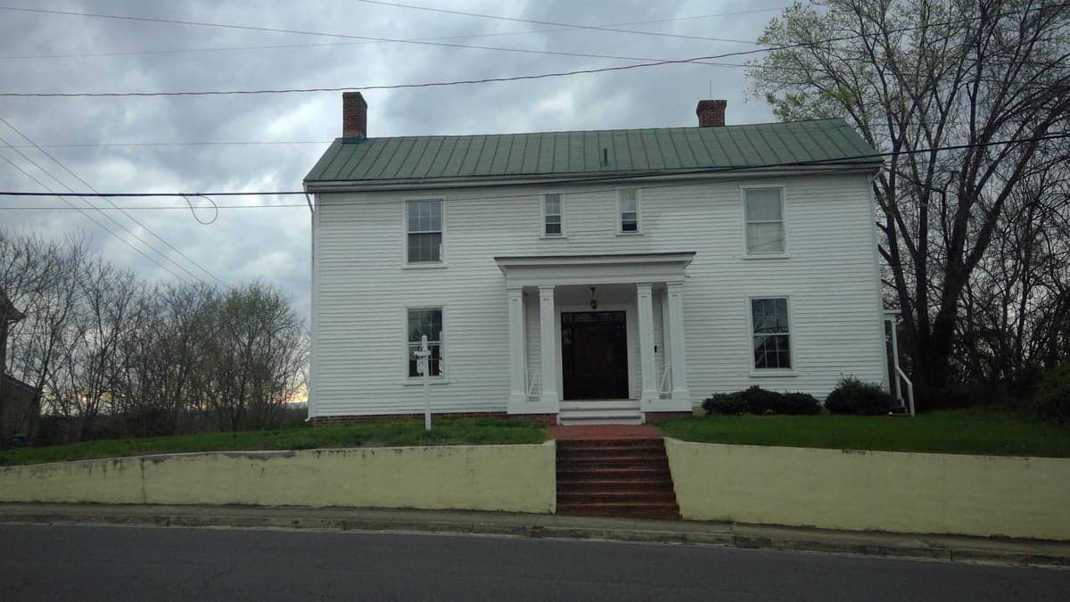
Photo: Wikipedia
Strategic Assessment of Culpeper, VA
Meaningful friction. Expect exposure to either population pressure, blast zones, or natural disaster risk. Consider buying a retreat property.
What does the Strategic Assessment tell us?
Our Strategic Assessment grades tactical survivability of an area. Major population centers, military targets, fallout zones, natural disasters, and border exposure all drive risk — lower exposure means a more defensible position in a crisis.
This is heavily inspired by Joel Skousen's Strategic Relocation book. Highly recommended you checkout the book ($)What does this tell us?
Our Strategic Assessment grades tactical survivability of an area. Major population centers, military targets, fallout zones, natural disasters, and border exposure all drive risk — lower exposure means a more defensible position in a crisis.
This is heavily inspired by Joel Skousen's Strategic Relocation book. Highly recommended you checkout the book ($)Strategic Pillars

Key Distances
Regional Safe Places
Below is our recommended "safe zones" in Virginia and the surrounding area based on our strategic heuristics. For most people, it's unrealistic to live in a “safe zone” full-time due to work, family or other personal reasons. They tend to be more rural. However, many of these areas are perfect for second homes and retreat properties that double as a vacation home or even a short-term rental.


Important Note: For informational purposes only. This does not mean nothing bad ever happens in the green zones. Please use common sense. This is based on public data and modeled with AI. We tried to take a conservative approach but mistakes happen. We update this regularly as new information becomes available.
Solar Generator Recommendations
Backup power matters more here than in safer locations. We've picked three solar generators across budgets and capacity tiers — start with the budget unit if you only need a few essentials, or step up if you want to run a fridge and HVAC for days at a time.

Jackery Portable Power Station Explorer 300
Budget OptionPower on the Go: Weighing only 11 lbs, it's convenient to set up and store with book-sized foldable solar panels

BLUETTI Portable Power Station AC180
Designed for both indoor and outdoor scenarios, AC180 is highly capable as it has a robost capacity and continuous output power.

EF ECOFLOW DELTA Pro Ultra Power Station
Upgraded PickEcoFlow DELTA Pro Ultra is a whole-home energy system designed to grow with your family. Integrated with the Smart Home Panel 2, it scales to meet your evolving energy needs — keeping your home powered, intelligent, and secure through every stage of life.
We earn a commission, at no additional cost to you.
Strategic Assessment Analysis
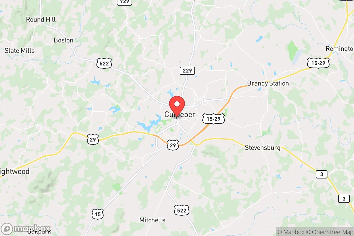
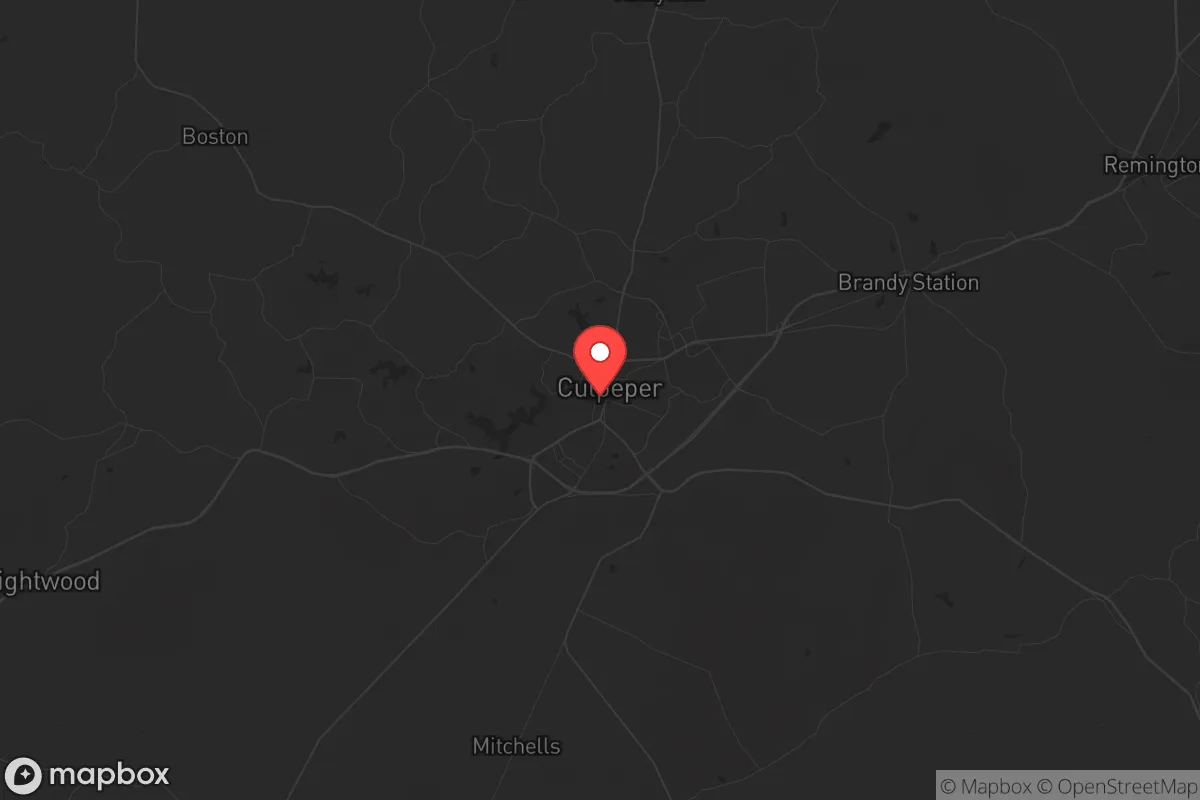
Culpeper, Virginia, sits in a strategic sweet spot that few other towns in the Mid-Atlantic can claim: close enough to the D.C. metroplex to monitor the pulse of the federal beast, but far enough away—roughly 70 miles southwest—to avoid the blast radius of a major event. Its location at the crossroads of U.S. Routes 29 and 15, plus the Norfolk Southern rail line, gives it a logistical backbone that matters when supply chains snap. For a relocator thinking in terms of decades, not election cycles, Culpeper offers a rare combination of agricultural self-sufficiency, defensible terrain, and a population that still remembers how to fix things with their hands rather than a smartphone.
Geographic position and natural advantages for long-term security
Culpeper County sits at the eastern edge of the Piedmont region, where the rolling hills begin to rise toward the Blue Ridge Mountains. This isn't flat, exposed farmland—it's broken terrain with plenty of wooded ridges, creek valleys, and natural choke points. The Rappahannock River runs through the county's southern half, providing a reliable water source that isn't dependent on municipal treatment plants. The area's elevation averages around 400 to 600 feet, which means it's above the floodplain but not so high that winter becomes a survival challenge. The county's 380 square miles contain roughly 60% forest cover, offering ample firewood, game habitat, and concealment from aerial observation. For someone serious about off-grid living, the combination of hardwood forests, limestone-based soils for gardening, and moderate rainfall (about 40 inches annually) makes this one of the more viable spots east of the Appalachians. The growing season runs from April to October, long enough to put up a serious vegetable harvest and hay for livestock.
Risks, exposures, and proximity to fallout-relevant landmarks
No strategic assessment is honest without naming the liabilities. Culpeper's biggest exposure is its proximity to the I-95 corridor and the D.C. metro area. A ground-level nuclear detonation at the Pentagon or Capitol would put Culpeper in the moderate fallout zone within 4-6 hours, depending on wind direction. The county is also within 30 miles of the North Anna Nuclear Generating Station in Louisa County—a facility that sits on a known seismic fault line and has experienced a minor earthquake-related shutdown in 2011. If that plant goes, Culpeper's downwind position is not ideal. On the conventional side, the town itself is a rail and highway junction, which makes it a potential target for sabotage or infrastructure attacks aimed at disrupting supply lines. The county's population has grown from about 47,000 in 2010 to an estimated 53,000 in 2025, driven largely by D.C. exodus—meaning the local culture is shifting, and not all newcomers share the self-reliance mindset. The biggest non-nuclear risk is a prolonged power grid failure, which would strand the growing suburban population without heat or water in winter, potentially turning the town into a humanitarian crisis zone rather than a refuge.
Practical resilience for a relocator: food, water, energy, and defensibility
For the individual or family looking to dig in, Culpeper offers real advantages that most exurban counties have lost. The agricultural base is still active—there are over 400 farms in the county, producing cattle, poultry, hay, corn, and soybeans. Local farmers' markets operate year-round in the town, and several farms offer raw milk and grass-fed beef directly to consumers, which means you can establish supply relationships before things go sideways. Water is the more critical variable: while the Rappahannock and its tributaries (Hazel River, Thornton River) are reliable, you'll need a well if you're outside town limits. The county's groundwater is generally good, with yields of 10-30 gallons per minute in most areas, but you'll want to test for iron and manganese, which are common in the Piedmont. Solar potential is decent—the area averages about 4.5 peak sun hours per day—and the county's zoning allows for ground-mounted arrays without the bureaucratic headaches you'd find in Northern Virginia. For defensibility, the key is to avoid the subdivisions sprouting up around the town core and instead look at properties along the secondary roads east of the mountains—Routes 522, 229, and 647 offer good access with limited through-traffic. The terrain around the Rapidan River provides natural barriers and multiple escape routes into the Shenandoah National Park or the George Washington National Forest, both about 30 minutes west. The local gun culture is strong—there are multiple shooting ranges and gun shops within 15 minutes of town—and the county sheriff's office is known for being pro-Second Amendment, which matters if you're serious about self-defense.
The overall strategic picture for a conservative relocator
Culpeper is not a bug-out location for the lone wolf—it's a community for people who want to build something that can outlast the chaos. The town itself has a historic downtown that's walkable and defensible, with brick buildings that date to the 18th century and a courthouse square that could serve as a rally point. The county's political leanings are reliably conservative—Culpeper voted +28 points for Trump in 2020 and +26 in 2024, and the local school board and board of supervisors are dominated by constitutional conservatives. That matters when you're thinking about whether your neighbors will band together or turn on each other when the power goes out. The downsides are real: you're still within a day's walk of 6 million people if things get bad, and the influx of remote workers from D.C. is driving up property prices and changing the local culture. But for a relocator who wants a base that can feed itself, defend itself, and stay connected to the broader network of like-minded communities in Virginia's Piedmont and Shenandoah regions, Culpeper is one of the few places that checks most of the boxes. The key is to get in before the next wave of refugees from the cities discovers it—and that window is closing fast.
* Values derived from national, state, county, city and local statistics and may differ in a specific area. Last updated: 2026-05-01T16:12:37.000Z
Narrative content on this page is AI-generated and may contain mistakes. Verify any details that matter before acting on them.
ReloMaps may earn a commission from affiliate links at no extra cost to you.