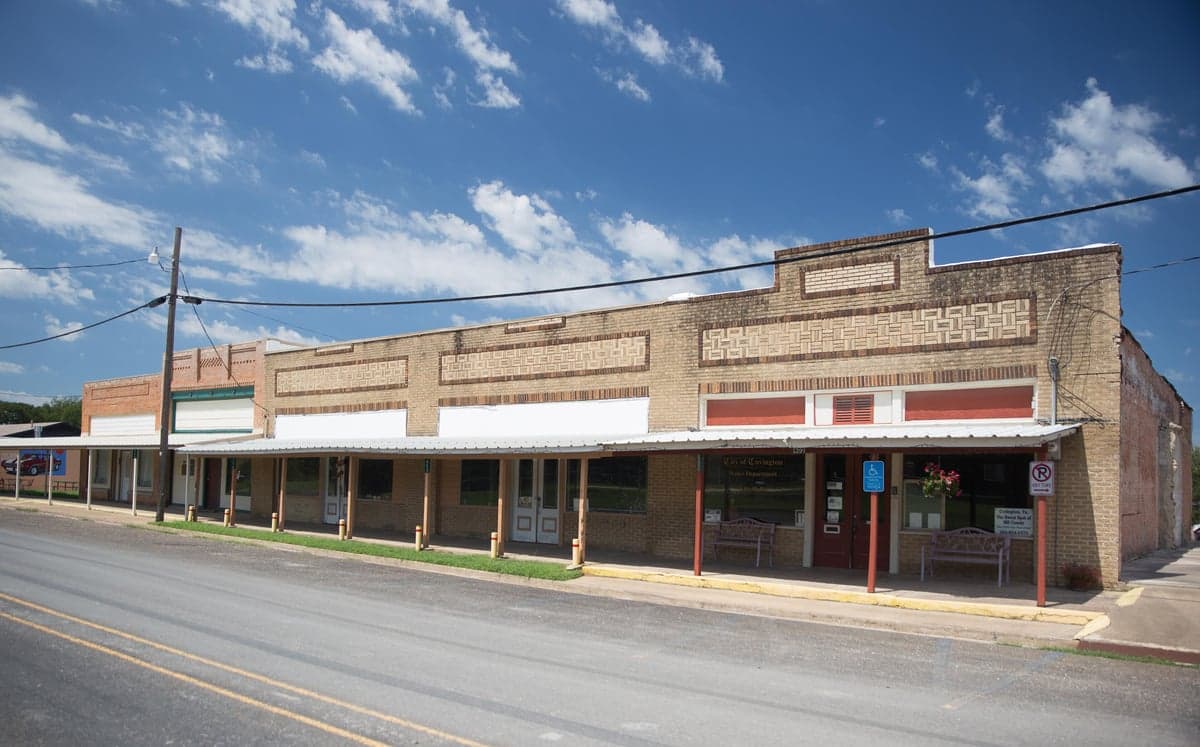
Photo: Wikipedia
Strategic Assessment of Covington, TX
Meaningful friction. Expect exposure to either population pressure, blast zones, or natural disaster risk. Consider buying a retreat property.
What does the Strategic Assessment tell us?
Our Strategic Assessment grades tactical survivability of an area. Major population centers, military targets, fallout zones, natural disasters, and border exposure all drive risk — lower exposure means a more defensible position in a crisis.
This is heavily inspired by Joel Skousen's Strategic Relocation book. Highly recommended you checkout the book ($)What does this tell us?
Our Strategic Assessment grades tactical survivability of an area. Major population centers, military targets, fallout zones, natural disasters, and border exposure all drive risk — lower exposure means a more defensible position in a crisis.
This is heavily inspired by Joel Skousen's Strategic Relocation book. Highly recommended you checkout the book ($)Strategic Pillars

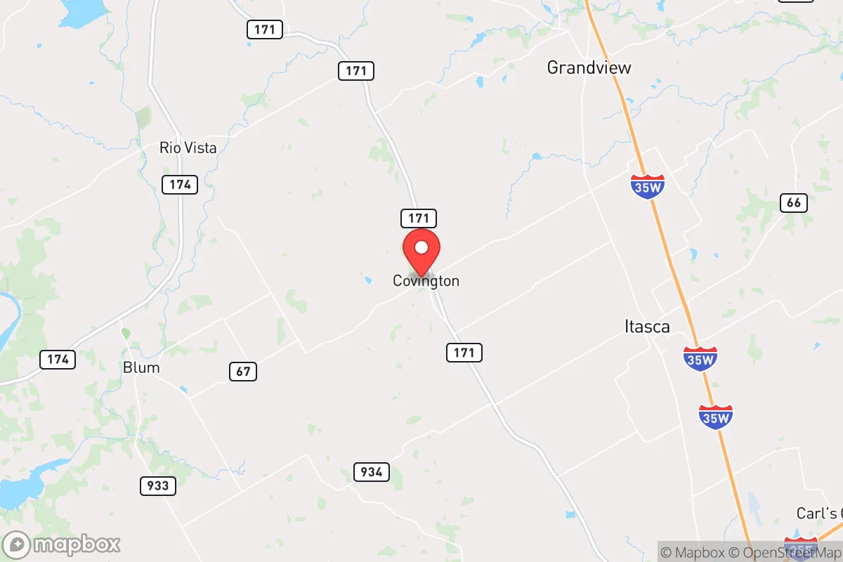
Key Distances
Regional Safe Places
Below is our recommended "safe zones" in Texas and the surrounding area based on our strategic heuristics. For most people, it's unrealistic to live in a “safe zone” full-time due to work, family or other personal reasons. They tend to be more rural. However, many of these areas are perfect for second homes and retreat properties that double as a vacation home or even a short-term rental.

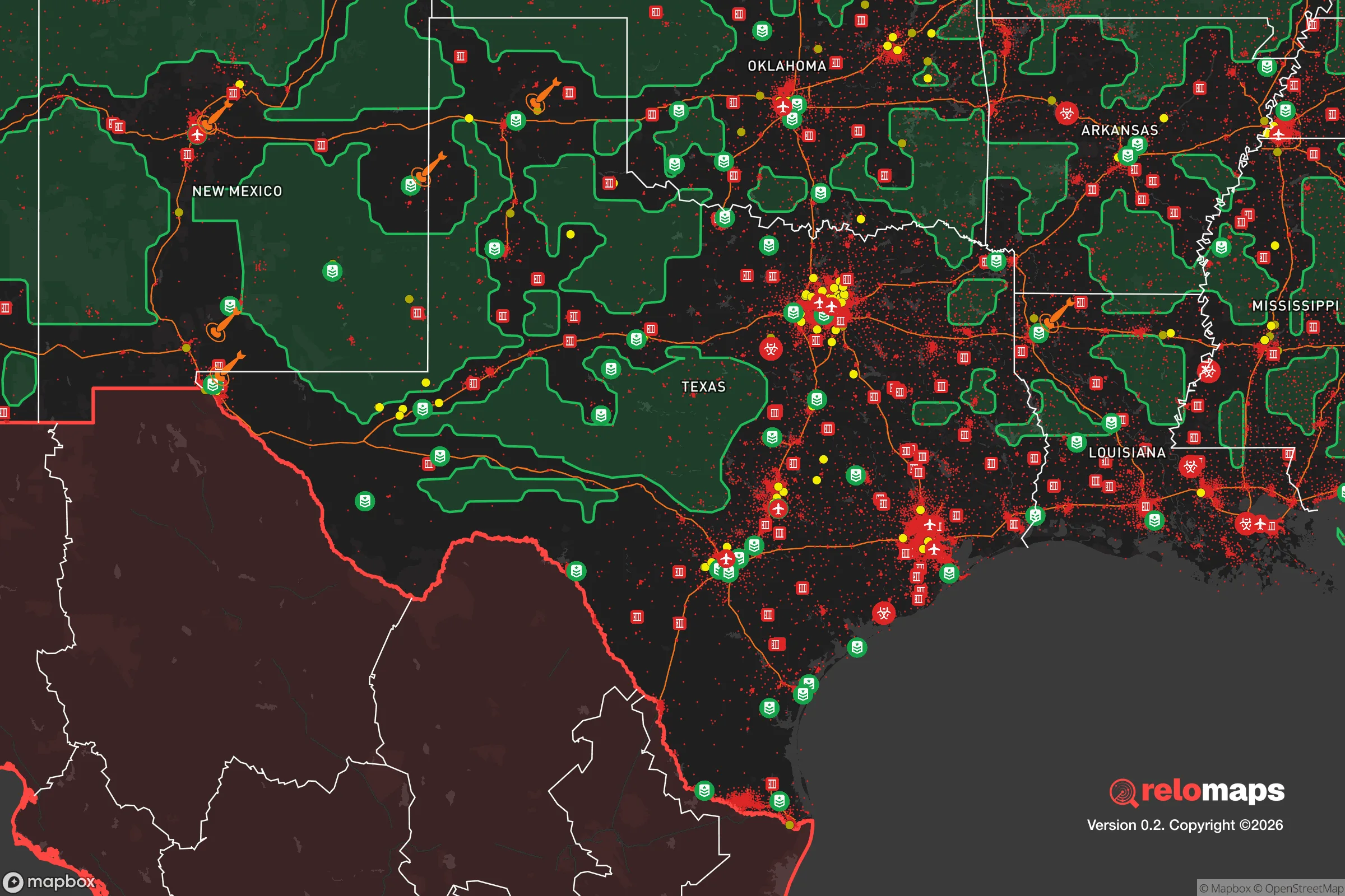


Important Note: For informational purposes only. This does not mean nothing bad ever happens in the green zones. Please use common sense. This is based on public data and modeled with AI. We tried to take a conservative approach but mistakes happen. We update this regularly as new information becomes available.
Solar Generator Recommendations
Backup power matters more here than in safer locations. We've picked three solar generators across budgets and capacity tiers — start with the budget unit if you only need a few essentials, or step up if you want to run a fridge and HVAC for days at a time.

Jackery Portable Power Station Explorer 300
Budget OptionPower on the Go: Weighing only 11 lbs, it's convenient to set up and store with book-sized foldable solar panels

BLUETTI Portable Power Station AC180
Designed for both indoor and outdoor scenarios, AC180 is highly capable as it has a robost capacity and continuous output power.

EF ECOFLOW DELTA Pro Ultra Power Station
Upgraded PickEcoFlow DELTA Pro Ultra is a whole-home energy system designed to grow with your family. Integrated with the Smart Home Panel 2, it scales to meet your evolving energy needs — keeping your home powered, intelligent, and secure through every stage of life.
We earn a commission, at no additional cost to you.
Strategic Assessment Analysis
Covington, Texas, offers a compelling mix of strategic depth and practical resilience for those prioritizing disaster readiness and self-sufficiency, though it is not without its trade-offs. Located in Hill County, roughly 50 miles south of the Dallas-Fort Worth metroplex and 30 miles north of Waco, the town sits in a transitional zone between the Blackland Prairie and the Cross Timbers ecoregion. This position provides a meaningful buffer from the immediate blast and fallout risks of a major metropolitan area while still allowing access to regional resources and infrastructure. For a relocator weighing security against convenience, Covington represents a middle-ground option that rewards preparation and local knowledge.
Geographic position and natural advantages for long-term stability
Covington’s primary geographic asset is its location within the relatively stable interior of the North American craton, far from active fault lines, volcanic zones, or major coastal storm surge areas. The town sits at an elevation of roughly 750 feet, which places it above the floodplains of the nearby Brazos River, though low-lying areas along creeks and drainage channels can experience localized flooding during heavy rain events. The surrounding terrain is gently rolling, with a mix of open farmland and post oak savanna, offering decent natural cover and defensible positions on higher ground. The local climate is humid subtropical, with hot summers and mild winters, supporting a growing season of about 230 days per year—long enough for two crop cycles of many staple vegetables and grains. Annual rainfall averages 35–40 inches, which is sufficient for dryland farming and rain-fed pasture, though periodic droughts (most notably in 2011 and 2022) can stress water supplies. The area’s natural advantages are modest but real: no hurricane storm surge, no earthquake risk, and a low probability of tornadoes relative to the central Oklahoma corridor, though severe thunderstorms and the occasional EF-2 or EF-3 tornado remain a realistic hazard.
Risks, exposures, and proximity to fallout-relevant landmarks
The most significant risk for Covington is its proximity to the Dallas-Fort Worth metroplex, a major population and industrial center that would be a high-priority target in a large-scale conflict or terrorist event. At roughly 50 miles from downtown Fort Worth, Covington sits just outside the likely thermal and blast radius of a ground-burst nuclear weapon in the megaton range, but it would be vulnerable to radioactive fallout depending on wind patterns. The prevailing winds in North Texas are from the south and southeast, meaning that fallout from a strike on DFW would likely drift north and northeast—away from Covington in most scenarios. However, a strike on the nuclear reactor at Comanche Peak, located about 40 miles to the west-northwest near Glen Rose, would pose a more direct threat. That facility houses two pressurized water reactors, and a catastrophic failure or attack could release radioactive material that, under westerly winds, would pass directly over Covington. Additionally, the town lies within 100 miles of several military installations, including Naval Air Station Joint Reserve Base Fort Worth and the Army’s Fort Cavazos (formerly Hood), both of which are potential targets. On the natural hazard side, the area is in a moderate risk zone for tornadoes (average 2–3 per county per year), and the 2013 West Fertilizer Company explosion in nearby McLennan County serves as a reminder that industrial accidents involving ammonium nitrate or other hazardous materials are a real, if low-probability, concern. The overall risk profile is moderate: not a safe haven, but far from the highest-risk zones in the country.
Practical resilience for a relocator: food, water, energy, and defensibility
For a relocator focused on self-sufficiency, Covington offers several practical advantages and some notable gaps. Water availability is the strongest asset: the area sits atop the Trinity Aquifer, which provides reliable groundwater at depths of 100–300 feet for most wells. Surface water is available from the Brazos River and Lake Whitney (about 15 miles west), though both are subject to drought-related drawdowns and agricultural runoff. Rainwater harvesting is feasible, with average annual collection potential of roughly 0.6 gallons per square foot of roof area per inch of rain. Food production is viable but not effortless: the growing season is long enough for warm-season crops like corn, beans, squash, and tomatoes, and the local soil (primarily clay loam) benefits from organic matter amendments. Small-scale livestock—chickens, goats, and even a few head of cattle—are common in the area, and the local extension office offers workshops on pasture management and soil conservation. However, the region’s reliance on industrial agriculture means that local seed banks and heirloom varieties are less common than in more established homesteading areas like the Ozarks. Energy resilience is a mixed picture: the local grid is served by Oncor, which has a mixed reliability record during ice storms and heat waves. Solar potential is good, with an average of 5.2 peak sun hours per day, but net metering policies in Texas are less favorable than in some other states, and battery storage is essential for true off-grid capability. Natural gas is widely available in the town limits, but rural properties often rely on propane tanks. Defensibility is moderate: Covington is a small town (population roughly 270) with a low crime rate and a strong sense of community, but it lacks natural barriers like mountains or dense forests. The open farmland provides clear sightlines but also limited cover. The nearest law enforcement is the Hill County Sheriff’s Office in Hillsboro (about 12 miles north), and response times in rural areas can exceed 20 minutes. For a relocator, the key is to choose a property with good well water, southern exposure for solar, and a defensible perimeter—ideally with a creek or pond as a secondary water source.
The overall strategic picture for Covington is one of moderate resilience with clear trade-offs. It offers a genuine buffer from the highest-risk urban and industrial targets, reliable groundwater, and a workable growing season, all within a low-crime, community-oriented setting. The downsides are real: proximity to DFW and Comanche Peak introduces fallout risk, the grid is vulnerable to weather-related outages, and the open terrain limits natural defensibility. For a relocator who is willing to invest in well water, solar with battery backup, and a solid food storage plan, Covington can serve as a functional base for long-term self-sufficiency. It is not a remote mountain redoubt, but it is a practical, affordable option for someone who wants to stay within reach of regional medical care and supply chains while maintaining a meaningful degree of independence. The key is to treat it as a strategic location that requires active preparation, not a passive safe zone.

* Values derived from national, state, county, city and local statistics and may differ in a specific area. Last updated: 2026-08-26T02:47:41.000Z
Narrative content on this page is AI-generated and may contain mistakes. Verify any details that matter before acting on them.
ReloMaps may earn a commission from affiliate links at no extra cost to you.

