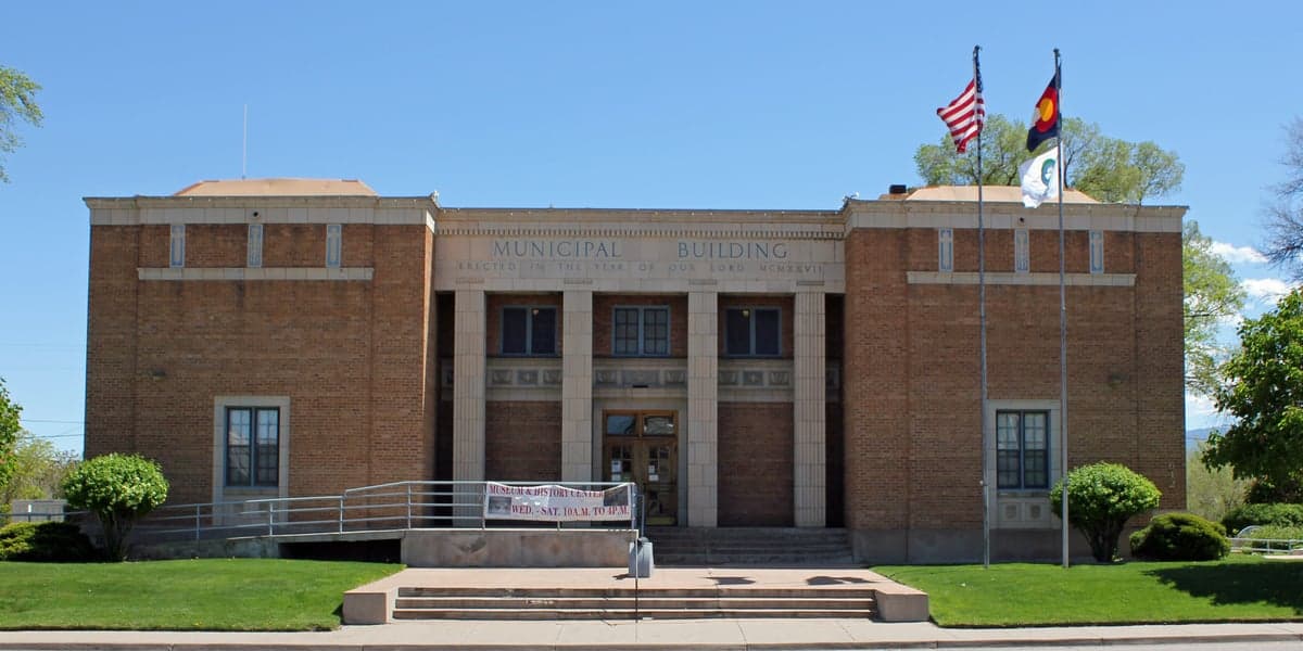
Photo: Wikipedia
Strategic Assessment of Fremont County
Workable tactical position. Some exposure to population density or targets, but generally defensible in a crisis.
What does the Strategic Assessment tell us?
Our Strategic Assessment grades tactical survivability of an area. Major population centers, military targets, fallout zones, natural disasters, and border exposure all drive risk — lower exposure means a more defensible position in a crisis.
This is heavily inspired by Joel Skousen's Strategic Relocation book. Highly recommended you checkout the book ($)What does this tell us?
Our Strategic Assessment grades tactical survivability of an area. Major population centers, military targets, fallout zones, natural disasters, and border exposure all drive risk — lower exposure means a more defensible position in a crisis.
This is heavily inspired by Joel Skousen's Strategic Relocation book. Highly recommended you checkout the book ($)Strategic Pillars

Key Distances
Strategic Assessment Analysis
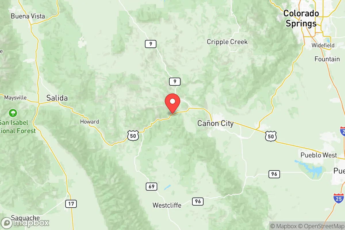
Fremont County, Colorado, offers a compelling strategic position for relocation-minded individuals and families who prioritize resilience, self-sufficiency, and distance from major metropolitan vulnerabilities. Anchored by the city of Cañon City and the smaller communities of Florence and Penrose, the county sits at the eastern edge of the Rocky Mountains, roughly 90 minutes southwest of Colorado Springs and two hours from Denver. This placement provides a meaningful buffer from the concentrated risks of Front Range urban centers while retaining access to their medical and supply infrastructure when needed. The county’s rugged terrain, lower population density, and historical independence-oriented culture make it a serious candidate for those evaluating long-term preparedness and disaster readiness.
Geographic position and natural advantages for self-sufficiency
Fremont County’s geography is defined by the transition from the high plains to the foothills of the Sangre de Cristo and Wet Mountain ranges, offering a mix of valley floors, mesas, and forested slopes. The Arkansas River runs through the heart of the county, providing a reliable surface water source that is less susceptible to drought than many other Colorado watersheds. Cañon City sits in a sheltered valley at roughly 5,300 feet elevation, which moderates extreme winter conditions compared to higher mountain communities. The surrounding terrain creates natural chokepoints and defensible positions, particularly along the Royal Gorge corridor and the access roads leading into the Wet Mountain Valley. This topography limits easy ingress from the plains, which can be an advantage for security-minded residents. The county also benefits from abundant public lands, including the San Isabel National Forest and the Bureau of Land Management holdings, which offer potential for hunting, foraging, and off-grid retreat options.
Risks, exposures, and proximity to fallout-relevant landmarks
While Fremont County is far from the highest-risk zones, it is not without exposures. The county is located approximately 120 miles south of the Denver metro area and about 100 miles from Colorado Springs, both of which contain military installations—Peterson Space Force Base, Schriever Space Force Base, and Fort Carson—that could be strategic targets in a conflict scenario. The Pueblo Chemical Depot, roughly 40 miles east of Cañon City, stores chemical munitions and represents a localized hazard, though prevailing winds generally carry eastward away from the county. The Arkansas River valley also hosts a rail corridor and U.S. Highway 50, which could become evacuation or supply routes during a crisis, potentially drawing transient populations. Natural risks include wildfire in the forested western portions of the county, particularly near the communities of Cotopaxi and Howard, and occasional flash flooding in canyon areas. Seismic risk is low, and tornado activity is significantly less frequent than on the eastern plains. Overall, the county’s primary risk profile is moderate, with the most serious man-made threats being distant enough to allow for warning and response time.
Practical resilience for a relocator: food, water, energy, and defensibility
For those serious about self-sufficiency, Fremont County offers several practical advantages. Water availability is a standout feature: the Arkansas River and its tributaries provide surface water that can be diverted for irrigation and household use with proper rights, and groundwater in the valley is generally accessible via wells. Agricultural potential exists in the river bottoms, with a growing season of roughly 120–150 days suitable for cold-hardy crops, though soil quality varies and irrigation is often necessary. The county has a modest but functional local food system, including the Cañon City Farmers Market and several small-scale producers, but year-round food independence would require significant investment in greenhouses or storage. Energy resilience is supported by the presence of the nearby Comanche Generating Station in Pueblo, though grid dependence is the norm; solar potential is excellent, with over 300 sunny days per year, and off-grid solar installations are common in rural areas. Defensibility is enhanced by the natural barriers of the mountains and canyons, but the county’s dispersed settlement pattern means that community-level security would rely on neighbor networks rather than centralized infrastructure. The Fremont County Sheriff’s Office and local emergency services are professional but stretched thin over a large area, so personal preparedness—including first aid, communications, and stockpiling—is essential.
In the overall strategic picture, Fremont County represents a balanced option for the resilience-minded relocator: far enough from major population centers and high-value targets to reduce fallout risk, yet close enough to access critical resources when conditions permit. Its combination of reliable water, defensible terrain, moderate climate, and a culture that values independence makes it a strong candidate for those who want to build a prepared lifestyle without complete isolation. The key trade-offs are the need to invest in fire mitigation, water rights, and off-grid energy systems, as well as the reality that no location is entirely risk-free. For families and individuals who are willing to put in the work, Fremont County offers a solid foundation for long-term security and self-reliance in the interior West.

* Values derived from national, state, county, city and local statistics and may differ in a specific area. Last updated: 2026-07-22T21:38:56.000Z
Narrative content on this page is AI-generated and may contain mistakes. Verify any details that matter before acting on them.
ReloMaps may earn a commission from affiliate links at no extra cost to you.

