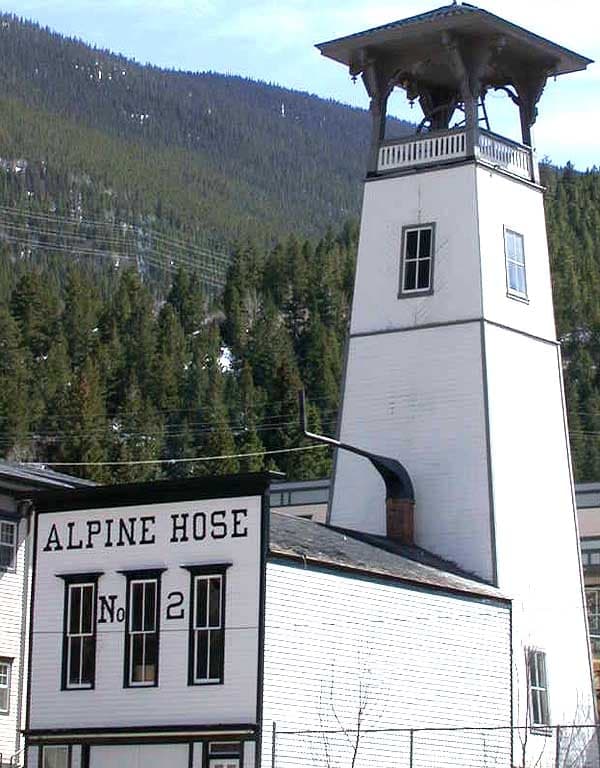
Photo: Wikipedia
Strategic Assessment of Clear Creek County
Workable tactical position. Some exposure to population density or targets, but generally defensible in a crisis.
What does the Strategic Assessment tell us?
Our Strategic Assessment grades tactical survivability of an area. Major population centers, military targets, fallout zones, natural disasters, and border exposure all drive risk — lower exposure means a more defensible position in a crisis.
This is heavily inspired by Joel Skousen's Strategic Relocation book. Highly recommended you checkout the book ($)What does this tell us?
Our Strategic Assessment grades tactical survivability of an area. Major population centers, military targets, fallout zones, natural disasters, and border exposure all drive risk — lower exposure means a more defensible position in a crisis.
This is heavily inspired by Joel Skousen's Strategic Relocation book. Highly recommended you checkout the book ($)Strategic Pillars

Key Distances
Strategic Assessment Analysis
Clear Creek County, Colorado, offers a compelling strategic position for relocation-minded individuals and families who prioritize disaster readiness and self-sufficiency, combining high-altitude mountain terrain with proximity to Denver's infrastructure while maintaining significant geographic buffers. The county's location along the I-70 corridor provides access to urban resources without the direct exposure to metropolitan vulnerabilities, and its rugged topography naturally limits large-scale population influx during crisis scenarios. For those assessing long-term resilience, Clear Creek County presents a mixed profile: strong natural defenses and resource potential, balanced against specific environmental and logistical risks that require careful planning.
Geographic position and natural advantages for self-sufficiency
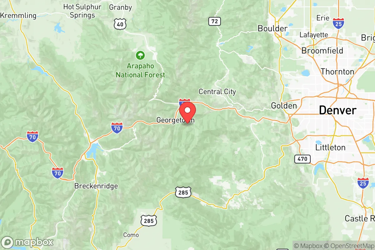
Clear Creek County sits approximately 30 miles west of Denver, with its county seat in Georgetown and major communities including Idaho Springs, Silver Plume, and Empire. The county's position in the Front Range of the Rocky Mountains provides elevation advantages ranging from 7,500 to over 13,000 feet, which naturally isolates population centers and creates defensible terrain. The mountainous geography limits road access primarily to I-70 and a few secondary routes, making the area inherently more secure against large-scale movement of people or goods during disruptions. The county's watershed includes Clear Creek itself and numerous alpine tributaries, offering reliable surface water sources that are less likely to be contaminated by downstream industrial activity compared to Front Range urban areas. The surrounding Arapaho and Roosevelt National Forests provide additional buffer zones and potential foraging or timber resources, though these are federally managed and subject to access restrictions.
Risks, exposures, and proximity to fallout-relevant landmarks
Clear Creek County's primary risk exposure comes from its proximity to the Denver metropolitan area, which includes critical infrastructure such as the Denver International Airport, the Suncor Energy refinery in Commerce City, and multiple rail and highway corridors that could become targets or chokepoints during a crisis. The county lies roughly 40 miles west of the Rocky Flats National Wildlife Refuge, a former nuclear weapons production site that, while remediated, remains a psychological and environmental reference point for regional risk assessment. Wildfire represents the most immediate natural hazard, with the 2020 Cameron Peak Fire and 2021 Marshall Fire demonstrating how quickly mountain communities can face evacuation orders and infrastructure damage. The county's reliance on I-70 as its primary evacuation and supply route creates a single-point-of-failure vulnerability; a major rockslide, accident, or intentional blockage could effectively isolate communities like Georgetown and Silver Plume for extended periods. Winter storms regularly close the highway and secondary roads, which can strand residents and delay emergency services, making year-round preparedness essential.
Practical resilience for a relocator: food, water, energy, and defensibility
Water availability in Clear Creek County is generally favorable for those with private wells or access to surface water, though municipal systems in Idaho Springs and Georgetown draw from Clear Creek and may face contamination risks from upstream mining runoff or wildfire sedimentation. The county's historic mining infrastructure includes numerous abandoned tunnels and shafts that could serve as emergency shelter or storage, but these require careful inspection for structural safety and hazardous materials. Energy resilience is a significant consideration: the county is served by Xcel Energy's grid, which is vulnerable to wildfire-related shutoffs and winter storm damage, making solar with battery backup or propane generators a practical investment for year-round reliability. Food self-sufficiency is limited by the short growing season (typically 60-90 days at higher elevations) and thin, rocky soils, though greenhouse or hydroponic systems can extend production. The county's low population density—roughly 9,000 residents across 396 square miles—means that community-scale cooperation is feasible, and local organizations like the Clear Creek County Office of Emergency Management provide structured preparedness resources. Defensibility is naturally high due to the terrain, with choke points along I-70 and limited secondary access roads, but this same geography makes evacuation difficult and requires residents to maintain substantial on-site supplies for extended isolation periods.
Overall, Clear Creek County offers a strategically sound relocation option for those who prioritize geographic isolation and natural resource access, but it demands serious investment in self-sufficiency infrastructure and a realistic understanding of its vulnerabilities. The county's proximity to Denver provides employment and supply access during normal times, but that same proximity introduces risks that must be mitigated through personal preparedness, community engagement, and redundant systems for water, energy, and food. For families and individuals willing to manage the trade-offs—short growing seasons, wildfire risk, and single-road dependency—Clear Creek County represents one of the more defensible and resource-secure locations within the Front Range corridor, provided that relocation plans account for the specific challenges of high-altitude mountain living.

* Values derived from national, state, county, city and local statistics and may differ in a specific area. Last updated: 2026-10-23T20:57:17.000Z
Narrative content on this page is AI-generated and may contain mistakes. Verify any details that matter before acting on them.
ReloMaps may earn a commission from affiliate links at no extra cost to you.

