 Popular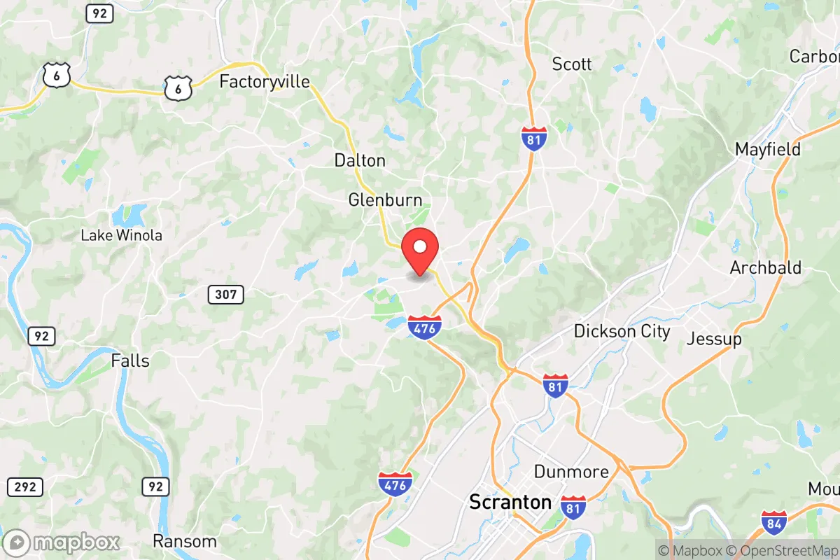
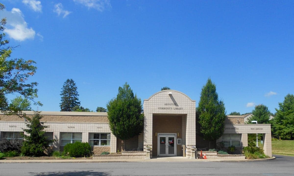
Photo: Wikipedia
Strategic Assessment of Clarks Summit, PA
Multiple tactical vulnerabilities. Population density, target proximity, or disaster risk are likely compounding. A retreat property and exit planning is required.
What does the Strategic Assessment tell us?
Our Strategic Assessment grades tactical survivability of an area. Major population centers, military targets, fallout zones, natural disasters, and border exposure all drive risk — lower exposure means a more defensible position in a crisis.
This is heavily inspired by Joel Skousen's Strategic Relocation book. Highly recommended you checkout the book ($)What does this tell us?
Our Strategic Assessment grades tactical survivability of an area. Major population centers, military targets, fallout zones, natural disasters, and border exposure all drive risk — lower exposure means a more defensible position in a crisis.
This is heavily inspired by Joel Skousen's Strategic Relocation book. Highly recommended you checkout the book ($)Strategic Pillars

Key Distances
Regional Safe Places
Below is our recommended "safe zones" in Pennsylvania and the surrounding area based on our strategic heuristics. For most people, it's unrealistic to live in a “safe zone” full-time due to work, family or other personal reasons. They tend to be more rural. However, many of these areas are perfect for second homes and retreat properties that double as a vacation home or even a short-term rental.




Important Note: For informational purposes only. This does not mean nothing bad ever happens in the green zones. Please use common sense. This is based on public data and modeled with AI. We tried to take a conservative approach but mistakes happen. We update this regularly as new information becomes available.
Solar Generator Recommendations
Backup power matters more here than in safer locations. We've picked three solar generators across budgets and capacity tiers — start with the budget unit if you only need a few essentials, or step up if you want to run a fridge and HVAC for days at a time.

Jackery Portable Power Station Explorer 300
Budget OptionPower on the Go: Weighing only 11 lbs, it's convenient to set up and store with book-sized foldable solar panels

BLUETTI Portable Power Station AC180
Designed for both indoor and outdoor scenarios, AC180 is highly capable as it has a robost capacity and continuous output power.

EF ECOFLOW DELTA Pro Ultra Power Station
Upgraded PickEcoFlow DELTA Pro Ultra is a whole-home energy system designed to grow with your family. Integrated with the Smart Home Panel 2, it scales to meet your evolving energy needs — keeping your home powered, intelligent, and secure through every stage of life.
We earn a commission, at no additional cost to you.
Strategic Assessment Analysis
Clarks Summit, Pennsylvania, offers a compelling mix of strategic resilience and practical self-sufficiency for relocators who want to be close enough to major infrastructure but far enough from the highest-risk zones. Nestled in the Abington Hills of Lackawanna County, this borough of roughly 5,000 people sits at a geographic pivot point: it’s about 10 miles north of Scranton, 120 miles west of New York City, and 130 miles north of Philadelphia, placing it within a day’s drive of the Northeast Corridor’s economic and logistical hubs. The area’s resilience stems from its position in the glaciated Pocono Plateau, which provides natural elevation, abundant water resources, and a cooler climate that mitigates some heat-related risks, while its distance from coastal storm surge zones and major fault lines reduces exposure to several common natural disasters. For a reader weighing disaster readiness and long-term self-sufficiency, Clarks Summit presents a balanced profile—strong on water and defensibility, moderate on energy independence, and with a few notable man-made risks tied to its proximity to regional infrastructure.
Geographic position and natural advantages for long-term stability
Clarks Summit sits at roughly 1,300 feet above sea level, on the western edge of the Pocono Mountains, a region shaped by glacial activity that left behind deep valleys, numerous lakes, and a dense network of streams. This elevation provides a natural buffer against flooding from coastal storms—Hurricane Sandy in 2012, for example, caused minimal damage here compared to the Susquehanna River valley just 30 miles west. The borough is located along the Lackawanna River, but the river’s watershed is relatively small and well-drained, so catastrophic flooding is rare; the most recent major flood event was from Tropical Storm Lee in 2011, which caused localized creek flooding but not widespread devastation. The area’s underlying geology is mostly Devonian-age sandstone and shale, which supports stable building foundations and good groundwater recharge, a key factor for well-dependent properties. The climate is humid continental, with average January lows around 18°F and July highs near 80°F, meaning winters are cold enough to kill many pests and pathogens but not so extreme as to make off-grid heating impossible. Snowfall averages about 50 inches per year, which provides a natural water reservoir in winter but also requires preparedness for power outages from ice storms—a recurring risk in the region. The surrounding state game lands and Lackawanna State Park (about 5 miles west) offer over 1,400 acres of public forest, which can serve as a buffer zone and a source of wild game, though hunting is regulated by the Pennsylvania Game Commission. The borough’s position on the Moosic Mountains ridge also gives it a natural vantage point, with clear views to the north and east, which aids situational awareness in a grid-down scenario.
Risks, exposures, and proximity to fallout-relevant landmarks
The most significant man-made risk for Clarks Summit is its proximity to the Scranton/Wilkes-Barre metropolitan area, which has a combined population of about 560,000 and includes several potential targets. The Wilkes-Barre/Scranton International Airport (AVP) is 15 miles south, and while it’s a small regional airport, it could be a secondary target in a conflict scenario. More concerning is the presence of the Tobyhanna Army Depot, a major U.S. Army communications and electronics maintenance facility located about 20 miles southeast in Coolbaugh Township. This depot employs roughly 3,500 people and is a critical logistics hub for the military, making it a plausible high-value target for a strategic strike. In a nuclear exchange, Clarks Summit would be outside the immediate blast radius of a ground burst at Tobyhanna (which would cause severe damage within about 2 miles), but fallout patterns would depend on wind direction—prevailing winds from the west-northwest would carry fallout eastward, away from the borough, but a shift could bring contamination. The borough is also 30 miles north of the Susquehanna Steam Electric Station, a nuclear power plant in Berwick, which is a risk for a radiological release from an accident or sabotage. The plant’s containment structures are robust, but a Fukushima-style event could release cesium-137 and iodine-131, with Clarks Summit lying in the prevailing downwind path (northeast) about 40% of the time. Natural risks are lower: the area is in Seismic Zone 1 (very low earthquake risk), tornadoes are rare (an average of 1 per 1,000 square miles per year), and wildfires are limited to small brush fires in dry springs. The biggest natural threat is winter storms, which can knock out power for days—the 1993 Storm of the Century dropped 30 inches of snow here and caused a week-long blackout. Flooding from the Lackawanna River is a minor risk for low-lying properties near the river, but the borough’s elevation keeps most of the developed area above the 100-year floodplain.
Practical resilience for a relocator: food, water, energy, and defensibility
Clarks Summit’s practical resilience is strongest in water and food access, moderate in energy, and good in defensibility. The borough’s public water supply comes from the Scranton Water Authority, which draws from the Lackawanna River and several reservoirs in the Poconos, but many homes in the surrounding Abington Township area have private wells tapping into the Catskill Formation aquifer, which yields 10-50 gallons per minute at typical depths of 100-300 feet. This groundwater is generally clean and requires only basic filtration (sediment and UV) for potability. For off-grid water, the nearby Lackawanna River flows year-round at an average of 200 cubic feet per second, and there are numerous small streams and springs in the state game lands—though you’ll need a permit for significant diversion. Food resilience is strong due to the region’s agricultural history: Lackawanna County has about 200 farms, with many in the surrounding valleys producing hay, corn, and vegetables. The Clarks Summit Farmers Market (June-October) and local CSAs like the Abington Community Garden provide seasonal produce, and the area’s growing season (last frost mid-May, first frost early October) allows for a solid 140-day gardening window. Deer are abundant in the state game lands, with a population density of about 20-30 per square mile, and small game like turkey and squirrel are common. Energy resilience is the weakest link: the grid is served by PPL Electric Utilities, which has a history of outages from ice storms and wind events—the 2021 ice storm left 10,000 customers in Lackawanna County without power for up to 5 days. Solar potential is moderate, with an average of 4.2 peak sun hours per day (slightly below the national average of 4.5), but the region’s frequent cloud cover (about 180 cloudy days per year) reduces solar reliability in winter. Wood heating is a strong option, with abundant hardwood forests (oak, maple, cherry) within a 10-mile radius, and many homes already have wood stoves or fireplaces. Defensibility is good: the borough’s layout on a ridge with limited road access (only two main routes: US 6/11 and PA 407) creates natural chokepoints, and the surrounding hills provide good observation points. The community is small enough that neighbors know each other, and there are active volunteer fire departments and a local police force, but the area is not gated or fortified—it’s a typical small town where social cohesion is the primary security asset.
The overall strategic picture for Clarks Summit is one of moderate-to-high resilience for a relocator who is willing to invest in backup energy and food storage. The area’s natural advantages—elevation, water abundance, and a defensible terrain—are offset by its proximity to regional targets like the Tobyhanna Army Depot and the Berwick nuclear plant, which introduce a non-trivial risk of fallout or secondary effects in a major conflict. For everyday disasters (winter storms, grid outages), the borough is well-positioned, with strong community networks and access to local resources. The biggest gap is energy independence: without a wood stove, solar array, or generator, a relocator would be vulnerable to the region’s frequent power outages. For a family or individual who prioritizes self-sufficiency and is comfortable with cold winters, Clarks Summit offers a solid base—just be prepared to dig a well, stack firewood, and keep a close eye on wind patterns if the worst happens. It’s not a fortress, but it’s a defensible, resource-rich location that balances access to the Northeast with a reasonable degree of strategic depth.

* Values derived from national, state, county, city and local statistics and may differ in a specific area. Last updated: 2026-08-24T20:05:33.000Z
Narrative content on this page is AI-generated and may contain mistakes. Verify any details that matter before acting on them.
ReloMaps may earn a commission from affiliate links at no extra cost to you.

