 Popular
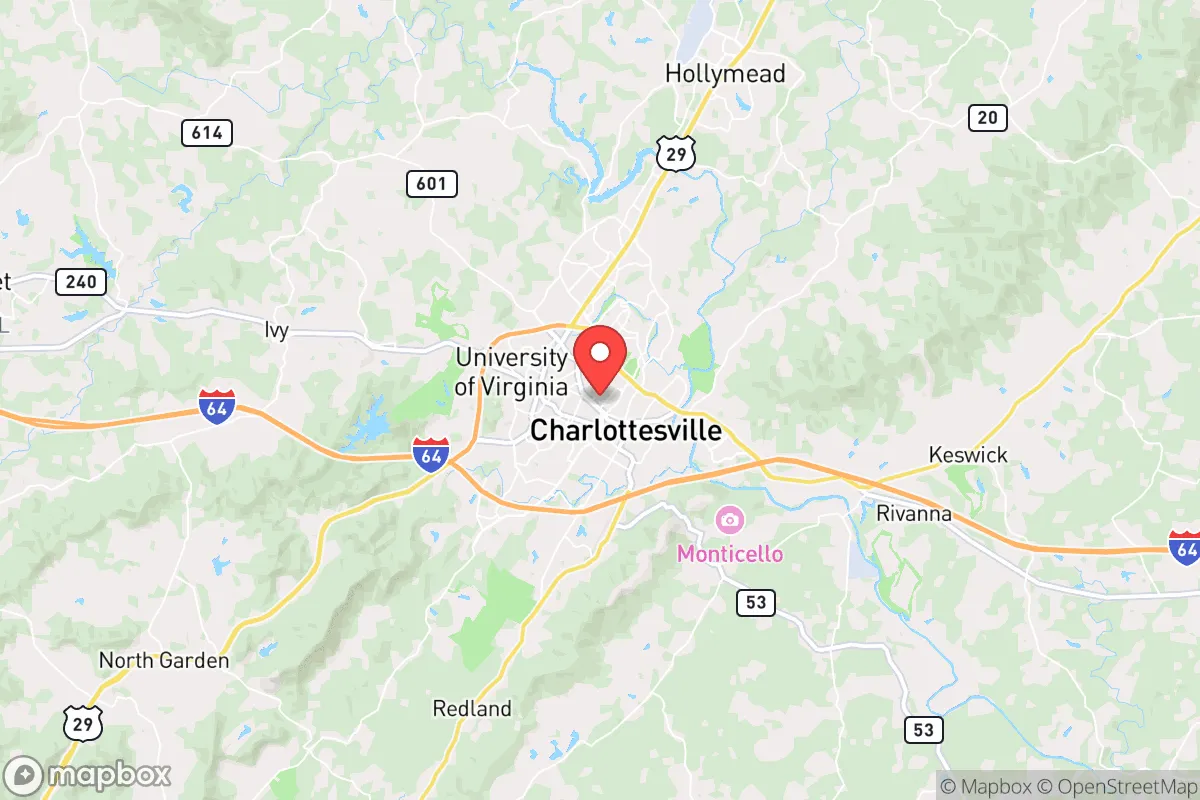
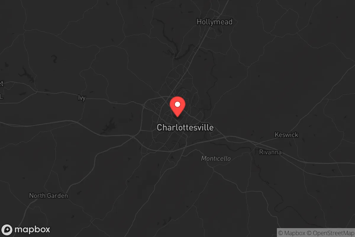
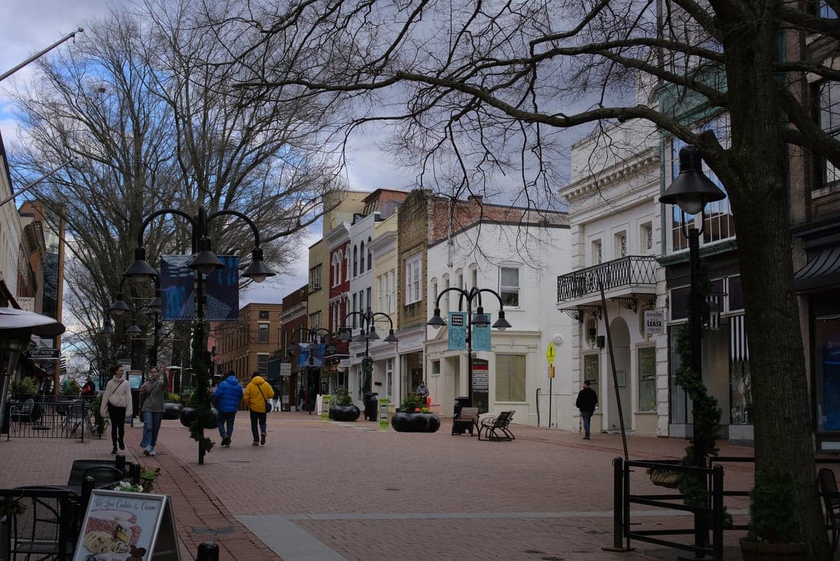
Photo: Wikipedia
Strategic Assessment of Charlottesville, VA
Meaningful friction. Expect exposure to either population pressure, blast zones, or natural disaster risk. Consider buying a retreat property.
What does the Strategic Assessment tell us?
Our Strategic Assessment grades tactical survivability of an area. Major population centers, military targets, fallout zones, natural disasters, and border exposure all drive risk — lower exposure means a more defensible position in a crisis.
This is heavily inspired by Joel Skousen's Strategic Relocation book. Highly recommended you checkout the book ($)What does this tell us?
Our Strategic Assessment grades tactical survivability of an area. Major population centers, military targets, fallout zones, natural disasters, and border exposure all drive risk — lower exposure means a more defensible position in a crisis.
This is heavily inspired by Joel Skousen's Strategic Relocation book. Highly recommended you checkout the book ($)Strategic Pillars

Key Distances
Regional Safe Places
Below is our recommended "safe zones" in Virginia and the surrounding area based on our strategic heuristics. For most people, it's unrealistic to live in a “safe zone” full-time due to work, family or other personal reasons. They tend to be more rural. However, many of these areas are perfect for second homes and retreat properties that double as a vacation home or even a short-term rental.


Important Note: For informational purposes only. This does not mean nothing bad ever happens in the green zones. Please use common sense. This is based on public data and modeled with AI. We tried to take a conservative approach but mistakes happen. We update this regularly as new information becomes available.
Solar Generator Recommendations
Backup power matters more here than in safer locations. We've picked three solar generators across budgets and capacity tiers — start with the budget unit if you only need a few essentials, or step up if you want to run a fridge and HVAC for days at a time.

Jackery Portable Power Station Explorer 300
Budget OptionPower on the Go: Weighing only 11 lbs, it's convenient to set up and store with book-sized foldable solar panels

BLUETTI Portable Power Station AC180
Designed for both indoor and outdoor scenarios, AC180 is highly capable as it has a robost capacity and continuous output power.

EF ECOFLOW DELTA Pro Ultra Power Station
Upgraded PickEcoFlow DELTA Pro Ultra is a whole-home energy system designed to grow with your family. Integrated with the Smart Home Panel 2, it scales to meet your evolving energy needs — keeping your home powered, intelligent, and secure through every stage of life.
We earn a commission, at no additional cost to you.
Strategic Assessment Analysis
Charlottesville, Virginia, sits in a geographic sweet spot that offers genuine strategic depth for those thinking seriously about resilience, but it comes with real trade-offs that demand clear-eyed assessment. Nestled between the Blue Ridge Mountains and the Southwest Mountains, this city of roughly 47,000 is far enough from Washington D.C. (about 115 miles) and Richmond (about 70 miles) to avoid the immediate blast radius of a major event, yet close enough that fallout from those urban centers—whether nuclear, economic, or social—will reach you within hours or days. The area’s natural advantages are substantial, but the political and demographic realities of Charlottesville itself create a complex picture for anyone prioritizing long-term preparedness.
Geographic position and natural advantages for long-term survival
The topography around Charlottesville is a genuine asset. The Blue Ridge Mountains to the west provide a natural barrier against prevailing winds carrying airborne contaminants from the east, and the numerous valleys and ridges offer countless options for dispersed, low-visibility living. The area sits in the Piedmont region, which means fertile soil, reliable rainfall averaging 44 inches per year, and a temperate climate that supports year-round food production. The Rivanna River and its tributaries provide surface water sources that, with proper filtration, can sustain a household indefinitely. The surrounding counties—Albemarle, Greene, and Nelson—are sparsely populated relative to the urban corridor, with population densities under 100 people per square mile in many areas. This low density is critical for anyone concerned about resource competition during a crisis. The University of Virginia’s presence also means the region has a robust infrastructure for medical care, with UVA Health being a Level I trauma center—a significant advantage if you need advanced care but want to avoid urban hospitals that would be overwhelmed in a mass casualty event.
Risks, exposures, and proximity to fallout-relevant landmarks
The most significant vulnerability for Charlottesville is its proximity to multiple high-value targets along the I-95 corridor. Washington D.C. is the obvious one, but also consider the Pentagon, Quantico Marine Corps Base, and the Dahlgren Naval Surface Warfare Center—all within 100 miles. In a major conflict, these are primary targets. The prevailing winds from the west mean that fallout from a strike on D.C. would likely blow east, away from Charlottesville, but a strike on Richmond or the numerous military installations in central Virginia could send contamination your way. The city itself is a political and cultural flashpoint. The 2017 Unite the Right rally and subsequent violence demonstrated that Charlottesville can become a focal point for civil unrest, drawing national attention and potential secondary conflicts. The local government leans heavily progressive, which may create friction with residents who prioritize self-reliance and firearm ownership—both of which are legally protected in Virginia but face increasing political pressure. The city’s population is also relatively dense for a small city, at over 4,000 people per square mile, which means that in a grid-down scenario, you’ll have neighbors competing for the same resources within walking distance.
Practical resilience for a relocator: food, water, energy, and defensibility
For someone serious about self-sufficiency, Charlottesville offers a mixed bag. The soil and climate are excellent for gardening, with a growing season from April to October. Local farmers’ markets and the presence of multiple community-supported agriculture (CSA) programs mean you can source seeds, livestock, and knowledge from an established network. Water is abundant, but you’ll need to secure a private well or a reliable surface water access point—city water is vulnerable to infrastructure failure. The region has good potential for solar energy, with an average of 200 sunny days per year, but the tree canopy in many residential areas limits rooftop solar efficiency. Wood heat is a viable option, given the surrounding forests, but you’ll need acreage and a chainsaw. Defensibility is where Charlottesville falls short for most relocators. The city itself is not defensible—too many entry points, too many people, and too much political friction. The real strategic value lies in the surrounding rural areas: Greene County to the north, Nelson County to the south, and the western slopes of the Blue Ridge. These areas offer small towns, low population density, and terrain that can be controlled with minimal manpower. If you’re looking at Charlottesville as a base for supplies and medical access, with a retreat property 20-30 minutes out in the mountains, that’s a viable strategy. Living inside the city limits during a crisis is not.
The overall strategic picture for Charlottesville is one of cautious opportunity. It’s not a survivalist paradise—it’s too close to too many targets, too politically divided, and too dense for a true bug-in scenario. But it does offer a rare combination of natural resources, medical infrastructure, and geographic shielding that makes it a credible staging area for a dispersed resilience plan. The key is to treat Charlottesville as a hub, not a home base. Use it for its hospitals, its supply chains, and its educated population, but secure your actual living space in the surrounding counties where you can control your water, your food, and your perimeter. If you can afford land in Greene or Nelson County, and you’re willing to navigate the cultural friction of living near a progressive college town, this area gives you a fighting chance in a world that’s increasingly uncertain. Just don’t expect to hunker down on the Downtown Mall and ride out the storm—that’s a fantasy. The real value is in the mountains, the rivers, and the quiet valleys that surround this city, waiting for someone with a plan.
* Values derived from national, state, county, city and local statistics and may differ in a specific area. Last updated: 2026-05-01T16:35:26.000Z
Narrative content on this page is AI-generated and may contain mistakes. Verify any details that matter before acting on them.
ReloMaps may earn a commission from affiliate links at no extra cost to you.