
Photo: Wikipedia
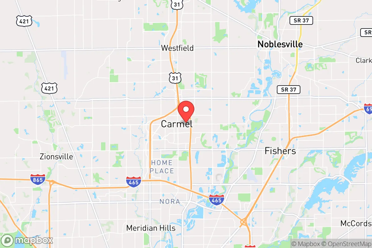
Demographics of Carmel, IN
Affluence Level in Carmel, IN
An upper-middle-class area. Household wealth, education levels, and homeownership run ahead of national benchmarks.
People of Carmel, IN
Carmel, Indiana, is a rapidly maturing suburban city of 100,501 residents that has transformed from a quiet farming crossroads into one of the Midwest’s most affluent and educated communities. With 74.5% of adults holding a college degree and a median household income well above the national average, the city’s population is characterized by high-achieving professionals, dual-income families, and a growing number of East/Southeast Asian and Indian-subcontinent residents drawn by top-ranked schools and corporate headquarters. The city’s identity today is defined by master-planned villages, a robust roundabout system, and a demographic profile that is simultaneously highly white (75.7%) and increasingly diverse in specific, concentrated pockets.
How the city was settled and grew
Carmel was originally settled in the 1830s by farmers of German, Irish, and English descent who were drawn to the fertile flatlands of central Indiana via the Michigan Road and later the Monon Railroad. The town was platted in 1837 and incorporated in 1874, remaining a small agricultural service center for over a century. The original population clustered around the Old Town district (now the Arts & Design District), where grain mills, blacksmiths, and general stores served surrounding farms. A second wave of settlement came in the early 1900s with the arrival of Italian and Polish immigrants who worked on railroad construction and in local canneries; these families settled in the Home Place neighborhood, a working-class area south of Main Street that still retains smaller, older homes. By 1950, Carmel’s population was barely 2,000, and the city remained overwhelmingly white and native-born.
Modern era (post-1965)
The post-1965 transformation of Carmel began with the construction of Interstate 465 in the 1970s, which connected the town to Indianapolis and triggered a wave of white, middle-class domestic migration from the urban core. This period saw the development of large, single-family-home subdivisions such as West Clay and Brookshire, which attracted corporate managers, doctors, and lawyers seeking large lots and low taxes. The 1990s and 2000s brought a second domestic wave: empty-nesters and relocating executives from the Northeast and Midwest who were drawn by Carmel’s nationally ranked school system (Carmel Clay Schools) and the city’s aggressive annexation of surrounding farmland. The most significant demographic shift began around 2010, when Carmel emerged as a hub for technology and life sciences companies. The Midtown district, a mixed-use development built around the Monon Trail, became a magnet for younger professionals and families from outside Indiana. During this period, the East/Southeast Asian population (now 6.6%) grew steadily, with many families settling in the Village of WestClay and Carnegie Hill neighborhoods, drawn by the schools and the presence of other Asian families. The Indian-subcontinent population (now 5.0%) also expanded, concentrated in newer subdivisions near Gray Eagle and the Hazel Dell corridor, where larger homes and proximity to tech employers like Allegion and Delta Faucet were key draws. The Hispanic population (5.0%) and Black population (3.6%) remain smaller but are growing, with Hispanic families more dispersed across the city and Black residents concentrated in the Old Town area and near the 116th Street commercial corridor.
The future
Carmel’s population is projected to continue growing, likely reaching 110,000–115,000 by 2035, driven by continued domestic in-migration from high-cost states (California, Illinois, New York) and sustained international professional migration. The city is not homogenizing; instead, it is tribalizing into distinct enclaves based on income, ethnicity, and lifestyle preference. The East/Southeast Asian and Indian-subcontinent communities are both growing and assimilating, with second-generation children attending Carmel High School and entering professional careers, but the two groups remain largely separate in residential patterns and social networks. The white population, while still the majority, is aging in place in older neighborhoods like Home Place and West Clay, while younger white families are increasingly choosing newer, denser developments in Midtown and City Center. The Hispanic and Black populations are growing slowly but face higher housing costs that may limit further expansion. The next decade will likely see Carmel become more ethnically diverse but also more economically stratified, with the highest-income enclaves (West Clay, Gray Eagle) remaining overwhelmingly white and Asian, while older, more affordable areas (Home Place, Old Town) become more mixed.
For someone moving to Carmel now, the city offers a stable, high-opportunity environment with exceptional schools and low crime, but it is not a melting pot. It is a collection of distinct, well-defined neighborhoods where newcomers will find their own community—whether that is a traditional white-collar suburb, an Asian professional enclave, or a revitalizing historic district. The population is heading toward greater diversity in numbers but greater separation in lived experience, making neighborhood choice the single most important decision for a new resident.
* Values derived from national, state, county, city and local statistics and may differ in a specific area. Last updated: 2026-04-14T21:55:05.000Z
Narrative content on this page is AI-generated and may contain mistakes. Verify any details that matter before acting on them.
ReloMaps may earn a commission from affiliate links at no extra cost to you.