
Photo: Wikipedia
Strategic Assessment of Bangor, ME
Multiple tactical vulnerabilities. Population density, target proximity, or disaster risk are likely compounding. A retreat property and exit planning is required.
What does the Strategic Assessment tell us?
Our Strategic Assessment grades tactical survivability of an area. Major population centers, military targets, fallout zones, natural disasters, and border exposure all drive risk — lower exposure means a more defensible position in a crisis.
This is heavily inspired by Joel Skousen's Strategic Relocation book. Highly recommended you checkout the book ($)What does this tell us?
Our Strategic Assessment grades tactical survivability of an area. Major population centers, military targets, fallout zones, natural disasters, and border exposure all drive risk — lower exposure means a more defensible position in a crisis.
This is heavily inspired by Joel Skousen's Strategic Relocation book. Highly recommended you checkout the book ($)Strategic Pillars

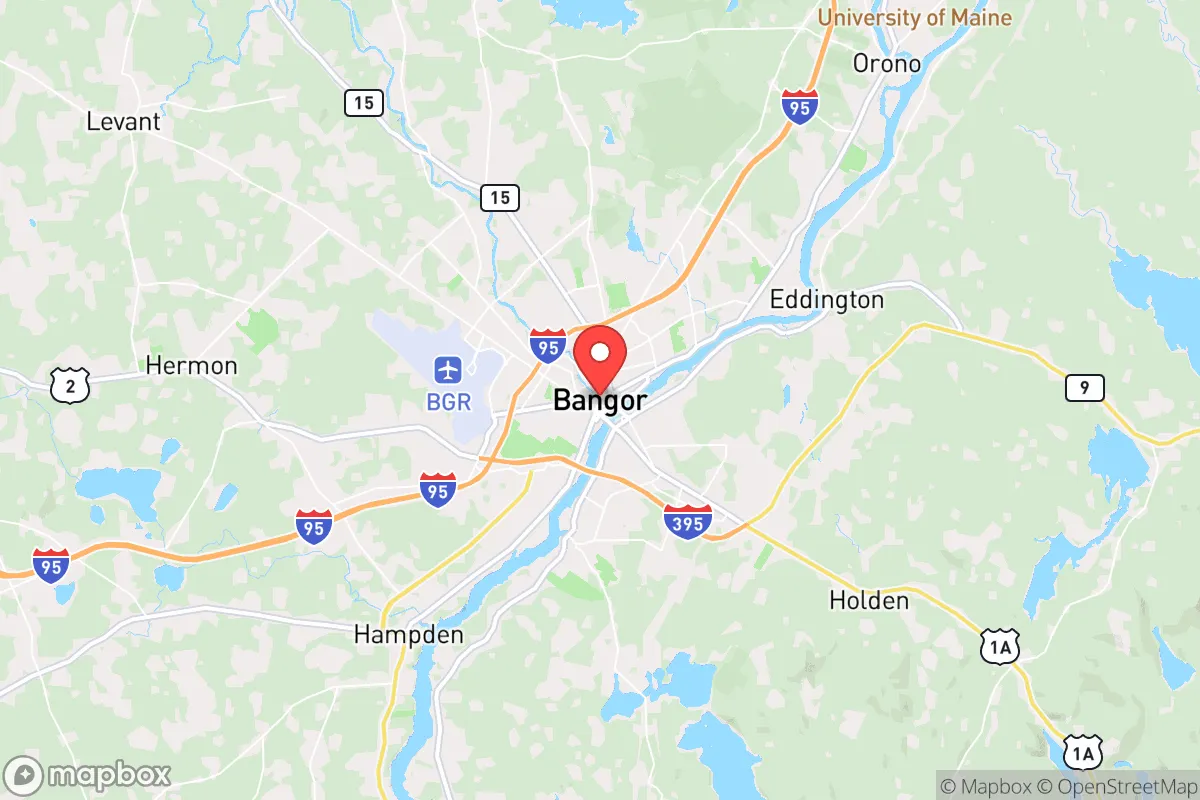
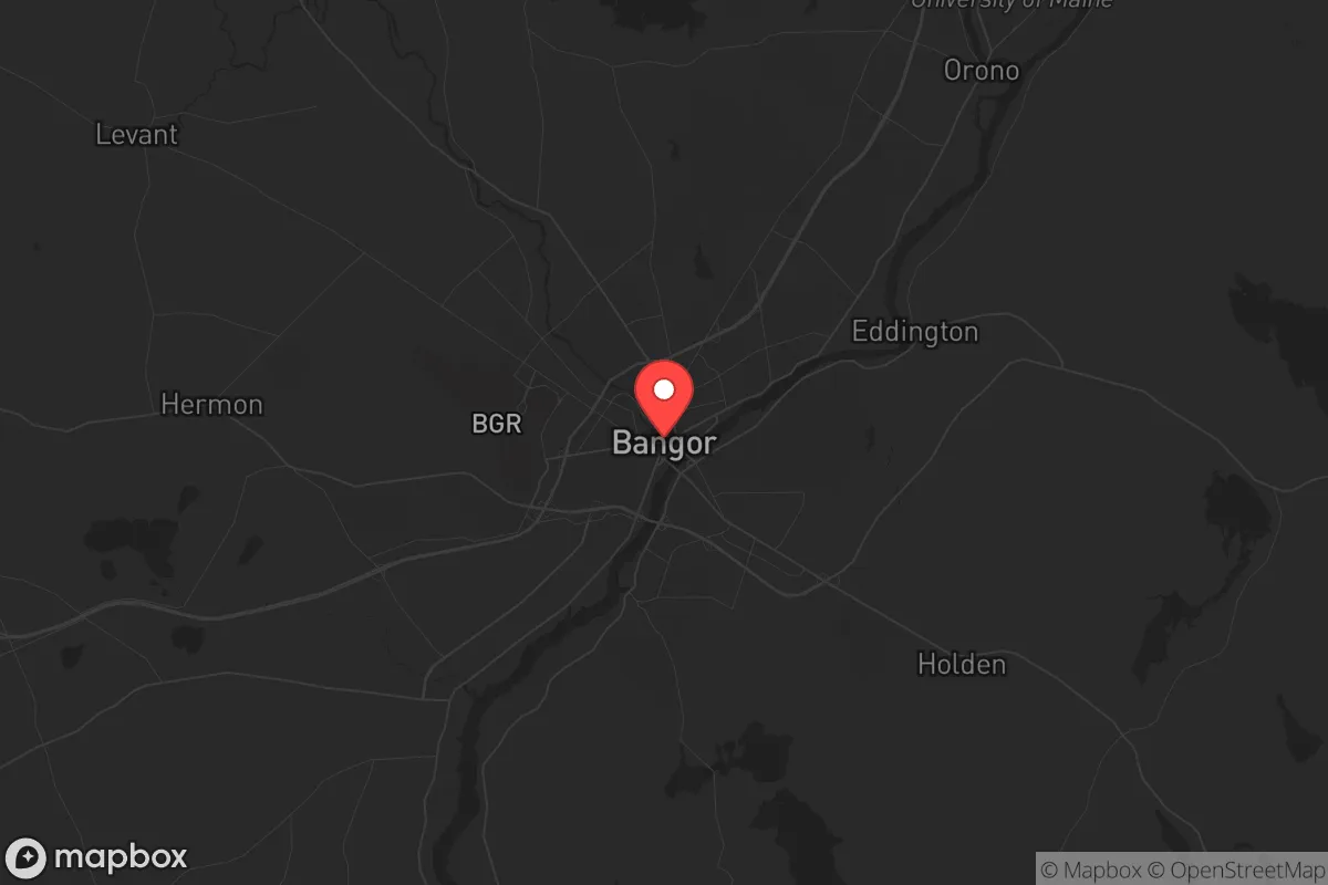
Key Distances
Regional Safe Places
Below is our recommended "safe zones" in Maine and the surrounding area based on our strategic heuristics. For most people, it's unrealistic to live in a “safe zone” full-time due to work, family or other personal reasons. They tend to be more rural. However, many of these areas are perfect for second homes and retreat properties that double as a vacation home or even a short-term rental.


Important Note: For informational purposes only. This does not mean nothing bad ever happens in the green zones. Please use common sense. This is based on public data and modeled with AI. We tried to take a conservative approach but mistakes happen. We update this regularly as new information becomes available.
Solar Generator Recommendations
Backup power matters more here than in safer locations. We've picked three solar generators across budgets and capacity tiers — start with the budget unit if you only need a few essentials, or step up if you want to run a fridge and HVAC for days at a time.

Jackery Portable Power Station Explorer 300
Budget OptionPower on the Go: Weighing only 11 lbs, it's convenient to set up and store with book-sized foldable solar panels

BLUETTI Portable Power Station AC180
Designed for both indoor and outdoor scenarios, AC180 is highly capable as it has a robost capacity and continuous output power.

EF ECOFLOW DELTA Pro Ultra Power Station
Upgraded PickEcoFlow DELTA Pro Ultra is a whole-home energy system designed to grow with your family. Integrated with the Smart Home Panel 2, it scales to meet your evolving energy needs — keeping your home powered, intelligent, and secure through every stage of life.
We earn a commission, at no additional cost to you.
Strategic Assessment Analysis
Bangor, Maine, offers a strategic relocation option for those prioritizing resilience and distance from the major fault lines of modern instability. Its position as the commercial hub of a vast, sparsely populated region provides a unique blend of access to essential services and a buffer from the cascading effects of urban collapse. While not immune to national trends, Bangor’s geographic isolation, cold climate, and low population density create a defensible posture that is increasingly rare in the lower 48. For the conservative-minded prepper or survivalist, this is a location where the calculus of risk versus reward begins to tilt favorably, provided you understand its specific exposures.
Geographic position and natural advantages for long-term security
Bangor sits at the head of the Penobscot River’s navigable tidewater, roughly 60 miles inland from the Atlantic coast. This positioning is a double-edged sword but leans heavily toward advantage. The city is the last major population center before the vast, roadless forests of northern Maine, offering a natural retreat corridor into the North Maine Woods—a region of over 3.5 million acres with minimal permanent population. The surrounding terrain is a mix of low, forested hills and wetlands, which naturally channel movement and make large-scale, rapid incursions difficult. The climate is a significant asset: harsh winters with average snowfall over 70 inches act as a natural population filter and a barrier to sustained operations by unprepared groups. The growing season is short (roughly 120 days), but the region’s abundant surface water—from the Penobscot River to countless lakes and streams—means a reliable water source is rarely more than a short walk away. For a relocator, this means you are not dependent on a single municipal supply; you can tap into a distributed, renewable resource.
Risks, exposures, and proximity to fallout-relevant landmarks
No analysis is honest without addressing the negatives. Bangor’s primary risk exposure is its role as a regional logistics hub. Bangor International Airport (BGR) is a designated alternate landing site for transatlantic flights and a key refueling stop for military aircraft, including Air Force One and C-5 Galaxies. In a national emergency, this airport becomes a high-value target for both state and non-state actors. The airport is also home to the Maine Air National Guard’s 101st Air Refueling Wing (KC-135 tankers), making it a legitimate military installation. Additionally, the city sits near the intersection of Interstate 95 and Route 2, two major east-west and north-south arteries. In a mass evacuation scenario, these roads would clog rapidly, and Bangor could become a chokepoint for refugees fleeing the Boston-to-Portland corridor. The nearest major population center, Portland, is 120 miles south—close enough to generate a wave of displaced persons, but far enough to provide a meaningful buffer. There are no nuclear power plants within 100 miles (the closest is Seabrook, NH, at 140 miles), and no major chemical or industrial fallout zones nearby. The risk is not from a direct strike, but from being a secondary target and a funnel for human traffic.
Practical resilience for a relocator: food, water, energy, and defensibility
For the individual or family looking to establish a sustainable foothold, Bangor’s practical resilience is above average but requires deliberate action. Food security is the weakest link. The region imports the vast majority of its food, with grocery stores maintaining only 3-5 days of supply under normal conditions. The local growing season is short, but the soil in the Penobscot Valley is fertile, and there is a strong tradition of home gardening, hunting, and fishing. Moose, deer, and small game are abundant, and the Penobscot River offers Atlantic salmon and alewife runs. A serious prepper will need to establish a year-round food storage plan and develop relationships with local farmers before a crisis. Water is the strongest asset. The city’s water supply comes from Floods Pond and the Penobscot River, but the real advantage is the sheer number of independent wells and surface water sources in the surrounding towns (Hampden, Brewer, Orono). A property with a drilled well and a hand pump is a realistic goal here. Energy is a mixed picture. Bangor is connected to the New England grid, which is fragile and dependent on natural gas and hydro imports from Quebec. However, the region has excellent potential for wood heat (the dominant heating source in rural areas) and small-scale hydro or solar. The long, cloudy winters limit solar, but the abundance of standing timber means a woodlot can provide both heat and a barter commodity. Defensibility is the headline advantage. The city itself is not defensible—it’s a grid of streets and strip malls. But the surrounding townships (Glenburn, Levant, Kenduskeag) offer rural properties with clear sightlines, limited road access, and a culture of self-reliance and firearm ownership. The local sheriff’s department and state police are professional but thin on the ground; in a prolonged crisis, you are largely on your own. The social fabric is a plus: Maine has a low crime rate and a strong sense of neighborly mutual aid, but it is also insular. Outsiders are treated with polite suspicion until they prove themselves. Building trust before a crisis is essential.
The overall strategic picture for Bangor is one of a high-resilience, moderate-risk location that rewards preparation and community integration. It is not a bug-out location—it is a live-in location. The city provides a functional economy (healthcare, education, logistics) for normal times, while the surrounding wilderness offers a deep buffer for bad times. The primary threat is not a direct attack, but the secondary effects of a national collapse: refugees, supply chain failure, and the strain on local resources. For the conservative relocator who values distance from the chaos of the Boston-Washington corridor, who is willing to invest in wood heat and a well, and who understands that isolation is both a shield and a challenge, Bangor represents one of the more viable long-term positions in the Northeast. The winters will test your resolve, but they will also test everyone else’s. That is the point.
* Values derived from national, state, county, city and local statistics and may differ in a specific area. Last updated: 2026-04-19T09:04:32.000Z
Narrative content on this page is AI-generated and may contain mistakes. Verify any details that matter before acting on them.
ReloMaps may earn a commission from affiliate links at no extra cost to you.