
Photo: Wikipedia
Strategic Assessment of White County
Workable tactical position. Some exposure to population density or targets, but generally defensible in a crisis.
What does the Strategic Assessment tell us?
Our Strategic Assessment grades tactical survivability of an area. Major population centers, military targets, fallout zones, natural disasters, and border exposure all drive risk — lower exposure means a more defensible position in a crisis.
This is heavily inspired by Joel Skousen's Strategic Relocation book. Highly recommended you checkout the book ($)What does this tell us?
Our Strategic Assessment grades tactical survivability of an area. Major population centers, military targets, fallout zones, natural disasters, and border exposure all drive risk — lower exposure means a more defensible position in a crisis.
This is heavily inspired by Joel Skousen's Strategic Relocation book. Highly recommended you checkout the book ($)Strategic Pillars

Key Distances
Strategic Assessment Analysis
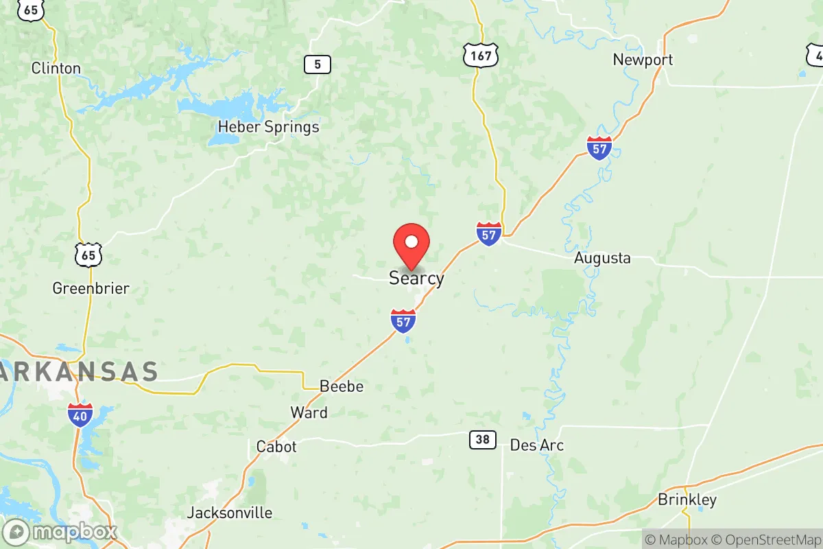
White County, Arkansas, offers a compelling mix of geographic isolation and practical self-sufficiency that appeals to relocators prioritizing resilience and preparedness. Anchored by the city of Searcy, the county sits roughly 50 miles northeast of Little Rock, placing it far enough from major metropolitan targets to reduce fallout risks while remaining accessible for supply runs or medical care. The area’s position along the Ozark foothills and the White River provides natural defensibility and water security, making it a strategic choice for those serious about long-term disaster readiness without sacrificing everyday livability.
Geographic position and natural advantages for long-term security
White County’s location in north-central Arkansas is a key asset for resilience. The county is bisected by the White River, a major waterway that offers reliable freshwater access and supports local agriculture. The terrain transitions from flat Delta farmland in the east to rolling hills in the west, providing natural cover and defensible positions near communities like Judsonia and Bald Knob. The area sits outside the 50-mile radius of any nuclear power plant—the closest is Arkansas Nuclear One in Russellville, about 80 miles west—and is well away from major chemical or refinery corridors. The Ozark Mountains to the north and the Arkansas River Valley to the south create a buffer zone that disrupts prevailing wind patterns, reducing the likelihood of fallout drifting into the county from distant events. For a relocator, this means a lower baseline risk of man-made disasters compared to counties closer to Memphis, Little Rock, or the Mississippi River industrial belt.
Risks, exposures, and proximity to fallout-relevant landmarks
While White County is relatively insulated, it is not without exposure. The primary man-made risk comes from the Little Rock Air Force Base in Jacksonville, roughly 40 miles southwest, which hosts C-130 transport aircraft and could be a secondary target in a conflict scenario. The county also lies within 100 miles of the Entergy nuclear plant in Russellville, though prevailing winds typically carry fallout east-northeast, away from White County. Natural hazards include tornadoes—the area sits in the Dixie Alley corridor—and occasional flooding along the White River and its tributaries near Georgetown and Beebe. The county’s rural character means emergency services are spread thin; Searcy’s White County Medical Center is the primary trauma center, but specialized care requires a 60-minute drive to Little Rock. For a relocator, the key takeaway is that the area’s risks are manageable with basic preparedness—storm shelters, flood maps, and a well-stocked pantry—rather than existential threats from nearby military or industrial targets.
Practical resilience for a relocator: food, water, energy, and defensibility
White County excels in the fundamentals of self-sufficiency. The agricultural base is strong: the county produces rice, soybeans, corn, and poultry, with local farmers’ markets in Searcy and Bald Knob providing year-round food access. The White River and its oxbow lakes offer fishing and irrigation potential, while the Ozark aquifer beneath the county supplies clean groundwater—many rural homes already rely on private wells. Energy resilience is moderate: Entergy Arkansas provides grid power, but natural gas and propane are widely available for backup generation. Solar adoption is growing, particularly in unincorporated areas where zoning is minimal. Defensibility is a standout feature—the county’s mix of open farmland and wooded hills allows for good sightlines and multiple egress routes via US-67, AR-36, and AR-13. The population density is low (roughly 80 people per square mile), meaning neighbors are close enough for mutual aid but far enough to avoid congestion during a crisis. For a family or individual, this translates to a realistic ability to produce food, store water, and maintain a low profile without extreme isolation.
Overall strategic picture for disaster-minded relocators
White County strikes a rare balance: it offers genuine resilience advantages—abundant water, fertile soil, low population density, and distance from high-value targets—without forcing a complete retreat from modern amenities. Searcy provides hospitals, grocery stores, and hardware suppliers within a 15-minute drive, while the county’s position along the White River gives access to a major waterway for transport and irrigation. The main trade-offs are the tornado risk and the need to invest in backup power and water storage, but these are manageable for anyone serious about preparedness. For a conservative-leaning relocator who values self-reliance and community but wants to avoid the extremes of remote mountain living or urban vulnerability, White County is a solid strategic pick—defensible, resourced, and quiet enough to ride out most disruptions.

* Values derived from national, state, county, city and local statistics and may differ in a specific area. Last updated: 2026-06-16T01:06:14.000Z
Narrative content on this page is AI-generated and may contain mistakes. Verify any details that matter before acting on them.
ReloMaps may earn a commission from affiliate links at no extra cost to you.

