
Photo: Wikipedia
Strategic Assessment of Pope County
Workable tactical position. Some exposure to population density or targets, but generally defensible in a crisis.
What does the Strategic Assessment tell us?
Our Strategic Assessment grades tactical survivability of an area. Major population centers, military targets, fallout zones, natural disasters, and border exposure all drive risk — lower exposure means a more defensible position in a crisis.
This is heavily inspired by Joel Skousen's Strategic Relocation book. Highly recommended you checkout the book ($)What does this tell us?
Our Strategic Assessment grades tactical survivability of an area. Major population centers, military targets, fallout zones, natural disasters, and border exposure all drive risk — lower exposure means a more defensible position in a crisis.
This is heavily inspired by Joel Skousen's Strategic Relocation book. Highly recommended you checkout the book ($)Strategic Pillars

Key Distances
Strategic Assessment Analysis
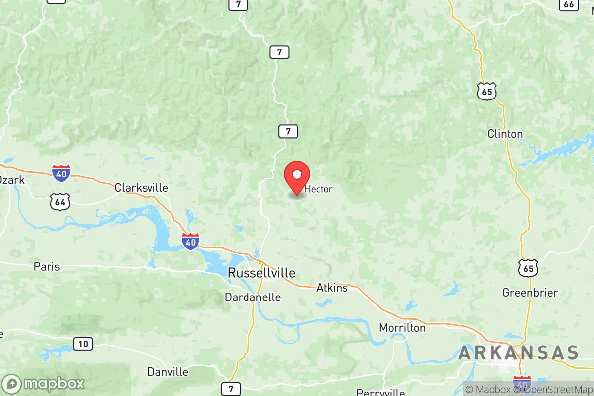
Pope County, Arkansas, offers a compelling mix of geographic isolation and practical access that appeals to relocators focused on resilience and self-sufficiency. Anchored by the city of Russellville, the county sits roughly 80 miles northwest of Little Rock and 100 miles east of Fort Smith, placing it outside the immediate blast and fallout zones of major metropolitan targets while still providing access to supply chains and medical infrastructure. The area’s position along the Arkansas River Valley, flanked by the Ozark and Ouachita National Forests, creates a natural buffer that has historically shielded it from the worst of regional disruptions, making it a serious consideration for those prioritizing long-term stability.
Geographic position and natural advantages for long-term stability
Pope County’s topography is a significant asset for disaster readiness. The southern portion of the county, including the city of Atkins, sits in the Arkansas River floodplain, but the majority of the land rises into the Boston Mountains and the Ozark foothills. This elevation provides natural drainage and defensible terrain, with numerous hollows and ridges that offer concealment and microclimate advantages. The county is bisected by the Arkansas River, which provides a reliable water source, and is dotted with smaller tributaries like the Illinois Bayou and Piney Creek, which support off-grid water collection. The Ozark National Forest covers roughly 40% of the county’s land area, offering abundant timber for fuel, construction, and foraging. For a relocator, this means immediate access to building materials, game, and natural water sources without relying on municipal infrastructure. The county’s position also places it within a two-hour drive of the Buffalo National River and the Mulberry River, both known for clean water and low population density, extending the buffer zone further.
Risks, exposures, and proximity to fallout-relevant landmarks
While Pope County is not a primary target, it is not immune to secondary risks. The Arkansas Nuclear One plant, located just east of Russellville on Lake Dardanelle, is the most significant man-made hazard in the immediate area. This two-unit nuclear facility, operated by Entergy, sits within 10 miles of the county’s population center. In the event of a containment breach or sabotage, prevailing winds could carry fallout across the river valley toward Atkins and Pottsville. Relocators should assess their property’s position relative to the plant’s 10-mile emergency planning zone (EPZ) and consider prevailing wind patterns, which typically blow from the south and southwest. Additionally, the county is within 150 miles of the Fort Chaffee Joint Maneuver Training Center near Fort Smith, a military installation that could become a staging area during a national emergency, potentially drawing secondary attacks or civil disruption. Natural risks include tornadoes—Pope County sits on the southern edge of Tornado Alley—and flash flooding in low-lying areas near the Arkansas River. The 2014 tornado that struck Mayflower and Vilonia, just 50 miles southeast, is a reminder that severe weather is a recurring threat. However, the county’s hilly terrain reduces the likelihood of widespread flooding compared to flat delta regions, and its distance from the Gulf Coast eliminates hurricane storm surge risk.
Practical resilience for a relocator: food, water, energy, and defensibility
For someone serious about self-sufficiency, Pope County offers strong fundamentals. The Arkansas River Valley has fertile alluvial soil, and the county is part of a region known for row crops like soybeans, corn, and hay. Small-scale farming is viable, and the Russellville Farmers Market provides a local outlet for surplus. Water access is above average: the county’s average annual rainfall of 50 inches supports rainwater catchment systems, and the numerous creeks and springs in the Ozark National Forest offer backup sources. However, groundwater quality varies, with some areas requiring filtration due to limestone-derived hardness. Energy resilience is mixed. The county is served by Entergy Arkansas, which relies on a mix of nuclear, natural gas, and coal. Grid reliability is moderate, with occasional outages during ice storms. Solar potential is good, with the region receiving about 4.5 peak sun hours per day, and off-grid solar installations are becoming more common in rural areas. For defensibility, the county’s low population density—roughly 64 people per square mile—and the presence of the national forest create natural buffers. The city of Russellville has a population of about 30,000, but the surrounding unincorporated areas, such as those near Dover and Hagarville, offer seclusion with maintained county roads. The terrain itself provides defensible positions, with ridgelines offering vantage points and valleys limiting approach routes. However, relocators should be aware that the county has a moderate crime rate, with property crime being the primary concern, and should plan for community engagement rather than complete isolation.
The overall strategic picture for Pope County is one of balanced resilience. It avoids the high-risk profiles of coastal or metropolitan areas while retaining enough infrastructure to support a transition to self-sufficiency. The presence of the nuclear plant is a genuine concern that requires site-specific planning, but the county’s natural resources, defensible terrain, and access to national forest land offset many of the risks. For a relocator who values preparedness without extreme isolation, Pope County represents a solid middle ground—close enough to supply chains and medical care to be practical, far enough from major targets to offer genuine safety. The key is to choose a property with elevation, water access, and a clear evacuation route away from the river valley, and to build community ties with the existing homesteading and farming networks in the area.

* Values derived from national, state, county, city and local statistics and may differ in a specific area. Last updated: 2026-08-08T18:33:51.000Z
Narrative content on this page is AI-generated and may contain mistakes. Verify any details that matter before acting on them.
ReloMaps may earn a commission from affiliate links at no extra cost to you.

