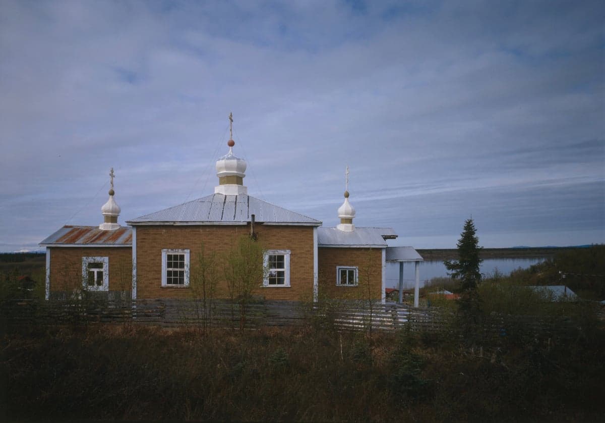
Photo: Wikipedia
Strategic Assessment of Bethel County
Deep buffer from population centers and strategic targets. Low natural disaster risk and minimal exposure to border or coastal threats.
What does the Strategic Assessment tell us?
Our Strategic Assessment grades tactical survivability of an area. Major population centers, military targets, fallout zones, natural disasters, and border exposure all drive risk — lower exposure means a more defensible position in a crisis.
This is heavily inspired by Joel Skousen's Strategic Relocation book. Highly recommended you checkout the book ($)What does this tell us?
Our Strategic Assessment grades tactical survivability of an area. Major population centers, military targets, fallout zones, natural disasters, and border exposure all drive risk — lower exposure means a more defensible position in a crisis.
This is heavily inspired by Joel Skousen's Strategic Relocation book. Highly recommended you checkout the book ($)Strategic Pillars

Key Distances
Strategic Assessment Analysis
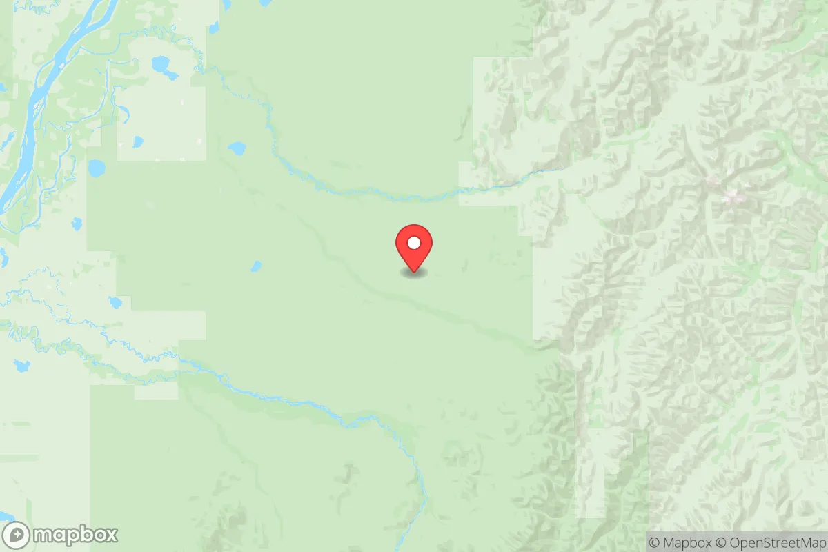
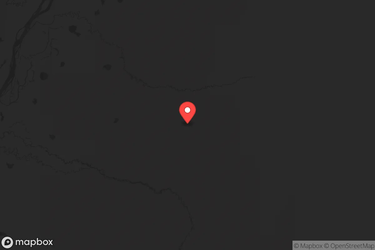
Bethel County, Alaska, offers a unique strategic proposition for those prioritizing resilience and self-sufficiency, largely due to its extreme remoteness and low population density. Located in western Alaska, the county is anchored by the city of Bethel, a regional hub of roughly 6,300 people, but the vast majority of its 45,000 square miles is uninhabited tundra and wetlands. This isolation from major infrastructure and population centers—the nearest large city, Anchorage, is over 400 air miles away—provides a natural buffer against many of the cascading risks that affect more connected regions, though it introduces its own set of logistical challenges for a relocator.
Geographic position and natural advantages for long-term security
Bethel County’s primary strategic asset is its location on the Kuskokwim River delta, a vast, flat expanse that is difficult to access by road—there are no highways connecting Bethel to the rest of Alaska. This geographic isolation means the area is far removed from the primary fallout-relevant landmarks of the state, such as the Port of Anchorage, Joint Base Elmendorf-Richardson, and the trans-Alaska pipeline terminal in Valdez. The county’s position along the Bering Sea coast also places it outside the immediate blast and fallout zones of any conceivable conflict targeting the continental United States’ core infrastructure. The region’s natural advantages include abundant freshwater from the Kuskokwim River and its tributaries, as well as a subsistence-based lifestyle that is deeply embedded in the local Yup’ik culture. For a relocator, this means access to wild salmon, moose, caribou, and berries, which form the backbone of local food security. The permafrost underlying much of the county also provides a natural, stable foundation for root cellars and cold storage, a practical advantage for long-term food preservation without reliance on electricity.
Risks, exposures, and proximity to fallout-relevant landmarks
While Bethel County is far from the state’s major military and industrial targets, it is not without its own risk profile. The most significant man-made risk is the potential for a release from the Bethel Fuel Storage Facility, a large tank farm located on the river that supplies heating oil and gasoline to the region. A spill or fire here could disrupt the local energy supply for months, as resupply is entirely dependent on barge and air transport. Additionally, the county’s proximity to the Bering Sea means it is exposed to the fallout from any maritime conflict involving Russian or Chinese naval assets operating in the North Pacific, though the prevailing winds typically carry such particles eastward over the open ocean rather than inland. The area’s low elevation (mostly under 100 feet) and flat terrain offer no natural defensive chokepoints, making it vulnerable to flooding from spring breakup or storm surges, which can isolate communities for weeks. For a relocator, the lack of road access also means that evacuation is impractical—Bethel’s airport is the only reliable way in or out, and it could be overwhelmed in a crisis. The nearest fallout-relevant landmarks of note are the Red Dog Mine (a major zinc-lead mine about 200 miles north) and the Donlin Gold Project (a proposed large-scale mine upriver), both of which could become secondary targets or sources of environmental contamination in a broader conflict.
Practical resilience for a relocator: food, water, energy, and defensibility
For a relocator serious about self-sufficiency, Bethel County offers a mixed picture. Food security is the strongest asset: the Kuskokwim River provides a reliable source of salmon (five species), and the surrounding tundra supports moose, caribou, and small game. Local fish camps and smokehouses are common, and a newcomer can learn these skills from the Yup’ik community, though integration requires cultural humility and time. Water is abundant from the river, but it requires treatment—boiling or filtration—due to natural sediment and potential bacterial contamination from wildlife. Energy is the critical vulnerability: nearly all homes rely on heating oil flown in or barged upriver, and the cost is among the highest in the United States (often over $6 per gallon). Solar panels are viable only during the long summer days; winter brings near-total darkness, making wind or diesel generators the only practical alternatives. Defensibility is inherently low due to the open, flat terrain and the reliance on a single airstrip and river for resupply. However, the small, tight-knit communities (like Napaskiak or Kwethluk, villages of a few hundred people) offer a social resilience that larger towns lack—neighbors know each other, and mutual aid is a cultural norm. A relocator would need to invest heavily in fuel storage, a reliable boat (for river travel), and a satellite communication system, as cell service is limited to Bethel proper.
Overall, Bethel County presents a high-risk, high-reward strategic picture for the resilience-minded relocator. Its extreme isolation and subsistence resources provide a genuine buffer against national-scale disruptions, but the logistical dependence on air and barge for fuel, medical supplies, and manufactured goods creates a fragile lifeline. For a single individual or family willing to invest years in learning local skills and building relationships, the area offers a rare opportunity for a self-reliant lifestyle far from the fallout zones of the Lower 48. However, it is not a place for a quick relocation—it demands a serious commitment to pre-positioning supplies, mastering cold-weather survival, and accepting a pace of life that is dictated by the seasons and the river, not by the news cycle.
* Values derived from national, state, county, city and local statistics and may differ in a specific area. Last updated: 2026-06-12T19:53:16.000Z
Narrative content on this page is AI-generated and may contain mistakes. Verify any details that matter before acting on them.
ReloMaps may earn a commission from affiliate links at no extra cost to you.