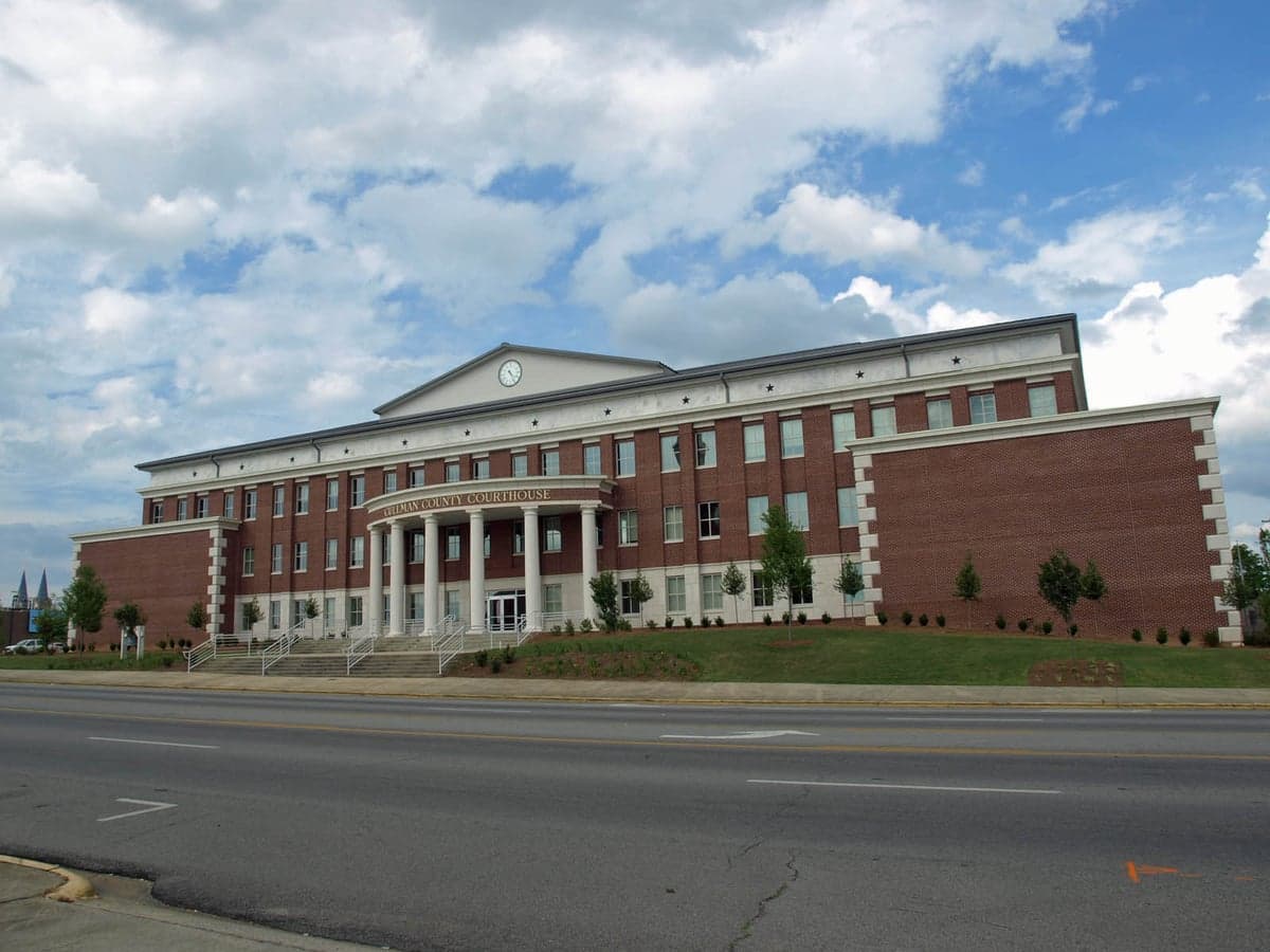
Photo: Wikipedia
Strategic Assessment of Cullman County
Workable tactical position. Some exposure to population density or targets, but generally defensible in a crisis.
What does the Strategic Assessment tell us?
Our Strategic Assessment grades tactical survivability of an area. Major population centers, military targets, fallout zones, natural disasters, and border exposure all drive risk — lower exposure means a more defensible position in a crisis.
This is heavily inspired by Joel Skousen's Strategic Relocation book. Highly recommended you checkout the book ($)What does this tell us?
Our Strategic Assessment grades tactical survivability of an area. Major population centers, military targets, fallout zones, natural disasters, and border exposure all drive risk — lower exposure means a more defensible position in a crisis.
This is heavily inspired by Joel Skousen's Strategic Relocation book. Highly recommended you checkout the book ($)Strategic Pillars

Key Distances
Strategic Assessment Analysis
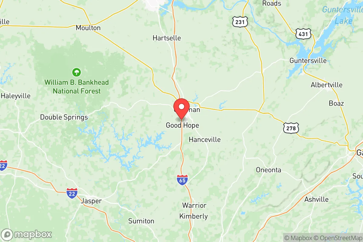
Cullman County, Alabama, occupies a strategic sweet spot in the southeastern United States that balances rural self-sufficiency with reasonable access to regional infrastructure, making it a compelling option for relocators prioritizing resilience and preparedness. Situated along Interstate 65 roughly halfway between Birmingham and Huntsville, the county offers a geographic buffer from the immediate fallout risks of major metropolitan areas while still being close enough to leverage their medical and supply networks in non-crisis times. The area’s rolling hills, limestone geology, and temperate climate provide a foundation for sustainable living that has attracted a growing number of families and individuals seeking a more self-reliant lifestyle.
Geographic position and natural advantages for long-term stability
Cullman County’s location in north-central Alabama places it in a zone with relatively low exposure to the most destructive natural disasters common to other parts of the country. The area sits well inland, eliminating any direct hurricane storm surge risk, though remnants of Gulf storms can bring heavy rain and isolated tornadoes. The county’s elevation ranges from roughly 500 to 1,000 feet above sea level, with the southern portion draining into the Mulberry Fork of the Black Warrior River and the northern part feeding the Tennessee River basin. This topography provides natural drainage and reduces floodplain exposure compared to flatter coastal or river-bottom regions. The underlying limestone karst geology creates numerous springs and aquifers, offering reliable groundwater sources for wells—a critical advantage for long-term water security. The county’s position along the southern edge of the Appalachian foothills also means cooler summer temperatures and slightly lower humidity than the Deep South’s coastal plains, which supports year-round gardening and livestock operations. For a relocator, the ability to grow food, access clean water, and avoid the worst of hurricane or earthquake risks makes this area a practical choice for building a resilient homestead.
Risks, exposures, and proximity to fallout-relevant landmarks
While Cullman County benefits from its distance from major urban centers, it is not without strategic vulnerabilities that a serious preparedness-minded relocator should weigh. The county lies roughly 50 miles from Huntsville, home to the Redstone Arsenal and NASA’s Marshall Space Flight Center—a high-value military and aerospace complex that could be a target in a major conflict. Similarly, Birmingham’s industrial infrastructure, including the U.S. Steel Fairfield Works and the region’s medical research hubs, sits about 50 miles south. In a worst-case scenario involving nuclear or EMP events, these assets could draw secondary effects or create refugee flows. The county’s own infrastructure includes the Cullman Regional Medical Center, a solid facility for routine care but not a trauma center for catastrophic events. The I-65 corridor, while an economic lifeline, also serves as a potential evacuation route from Birmingham and Nashville, meaning that a sudden crisis could funnel thousands of people through the county. On the natural disaster front, the area lies in the Dixie Alley tornado zone, with spring and fall severe weather seasons producing occasional EF-2 or stronger tornadoes—the 2011 Super Outbreak spawned an EF-4 that tracked through nearby Limestone County. The Tennessee Valley Authority’s Browns Ferry Nuclear Plant, located about 40 miles northeast near Athens, represents a low-probability but high-consequence risk for radiological release, though prevailing winds typically carry fallout away from Cullman County. For the relocator, these risks are manageable with proper planning—a well-stocked storm shelter, a diversified water supply, and a communication plan for regional events—but they should not be ignored.
Practical resilience for a relocator: food, water, energy, and defensibility
For a family or individual serious about self-sufficiency, Cullman County offers a strong baseline for practical resilience. The county’s agricultural heritage is still alive, with the Cullman County Farmers Federation and local producers supplying fresh meat, eggs, and produce at markets in Cullman, Hanceville, and Holly Pond. The growing season runs from April through October, allowing for substantial home gardens and even small orchards; apples, peaches, and muscadine grapes thrive in the local climate. Water access is a standout feature: the area’s limestone aquifers provide consistent well yields of 10 to 50 gallons per minute at typical depths of 100 to 300 feet, and many rural properties already have wells in place. For surface water, the Mulberry Fork and its tributaries offer backup sources, though treatment would be necessary. Energy resilience is achievable through solar, as the region averages about 210 sunny days per year, and net metering policies from the local cooperative, Cullman Electric Cooperative, allow for grid-tied systems. Off-grid options are feasible on larger parcels, with many properties in the county’s unincorporated areas zoned for agricultural use and free from restrictive homeowners’ associations. Defensibility is a mixed picture: the county’s rolling terrain and forested ridges provide natural cover and chokepoints, but the I-65 corridor and the town of Cullman itself (population roughly 16,000) would be logical gathering points in a crisis. The county’s strong community ties, with a population that skews conservative and self-reliant, mean that neighbor networks and church-based mutual aid are common—a social resilience factor that cannot be overstated. The Cullman County Sheriff’s Office maintains a visible presence, and the county’s relatively low crime rate (violent crime at about half the national average) suggests a stable social environment even in normal times.
The overall strategic picture for Cullman County is one of balanced opportunity for the preparedness-minded relocator. It avoids the extreme risks of coastal or major metropolitan areas while still offering the infrastructure and community fabric needed for a sustainable, self-reliant life. The county’s geographic position between Huntsville and Birmingham provides a buffer from immediate fallout dangers, though the presence of military and industrial targets within a 50-mile radius means that a comprehensive plan should account for regional events. For a family or individual willing to invest in a well, solar panels, a storm shelter, and a garden, Cullman County offers a realistic foundation for long-term resilience without the isolation of more remote locations. The key is to choose a property away from the I-65 corridor and the town centers—look toward the rural areas around Crane Hill, Logan, or the Brushy Lake region—and to engage with the local community early. In a world of increasing uncertainty, this area provides a solid, defensible base of operations that balances access with security.

* Values derived from national, state, county, city and local statistics and may differ in a specific area. Last updated: 2026-08-25T21:26:52.000Z
Narrative content on this page is AI-generated and may contain mistakes. Verify any details that matter before acting on them.
ReloMaps may earn a commission from affiliate links at no extra cost to you.

