
Photo: Wikipedia
Strategic Assessment of Abbeville, LA
Meaningful friction. Expect exposure to either population pressure, blast zones, or natural disaster risk. Consider buying a retreat property.
What does the Strategic Assessment tell us?
Our Strategic Assessment grades tactical survivability of an area. Major population centers, military targets, fallout zones, natural disasters, and border exposure all drive risk — lower exposure means a more defensible position in a crisis.
This is heavily inspired by Joel Skousen's Strategic Relocation book. Highly recommended you checkout the book ($)What does this tell us?
Our Strategic Assessment grades tactical survivability of an area. Major population centers, military targets, fallout zones, natural disasters, and border exposure all drive risk — lower exposure means a more defensible position in a crisis.
This is heavily inspired by Joel Skousen's Strategic Relocation book. Highly recommended you checkout the book ($)Strategic Pillars

Key Distances
Regional Safe Places
Below is our recommended "safe zones" in Louisiana and the surrounding area based on our strategic heuristics. For most people, it's unrealistic to live in a “safe zone” full-time due to work, family or other personal reasons. They tend to be more rural. However, many of these areas are perfect for second homes and retreat properties that double as a vacation home or even a short-term rental.

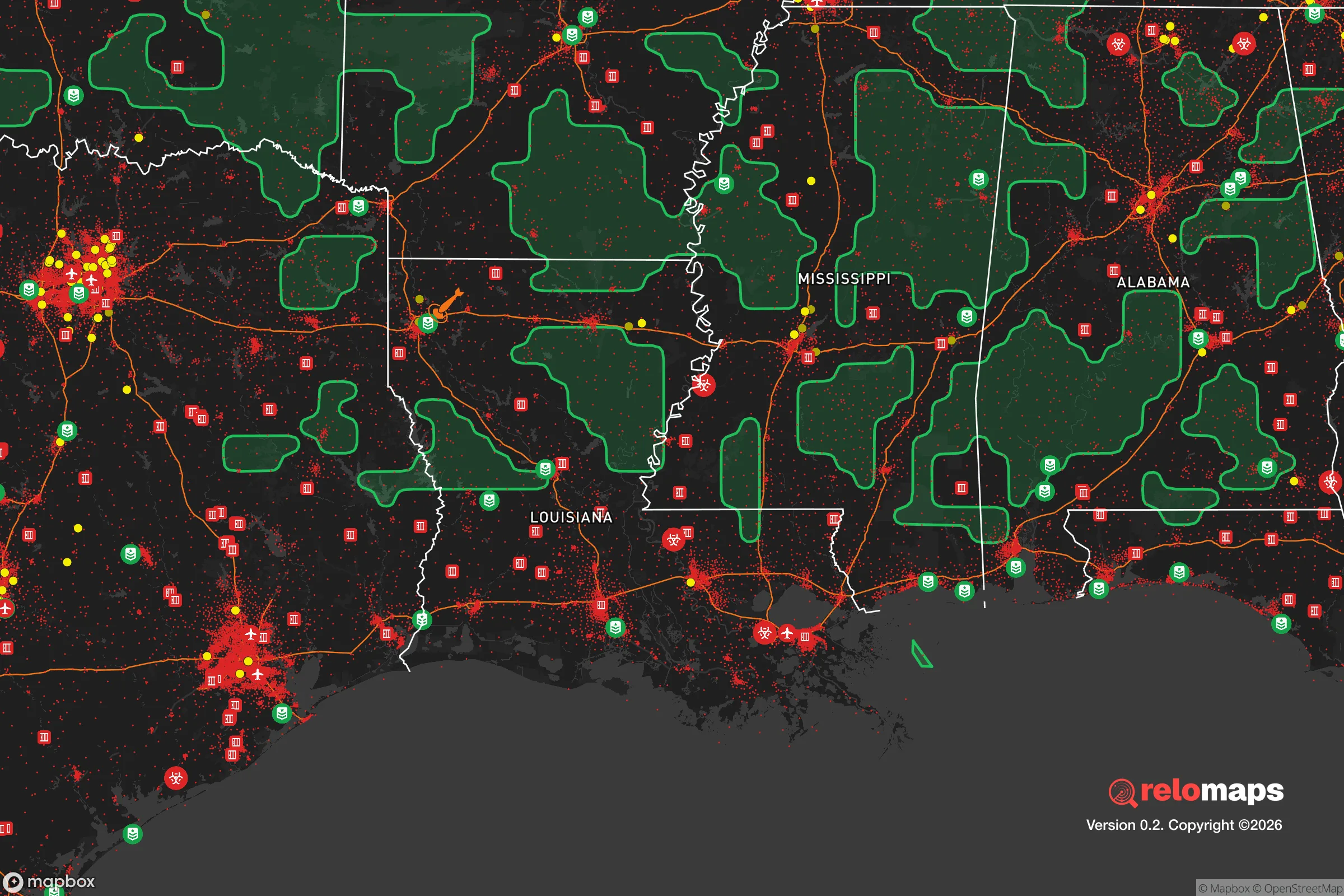
Important Note: For informational purposes only. This does not mean nothing bad ever happens in the green zones. Please use common sense. This is based on public data and modeled with AI. We tried to take a conservative approach but mistakes happen. We update this regularly as new information becomes available.
Solar Generator Recommendations
Backup power matters more here than in safer locations. We've picked three solar generators across budgets and capacity tiers — start with the budget unit if you only need a few essentials, or step up if you want to run a fridge and HVAC for days at a time.

Jackery Portable Power Station Explorer 300
Budget OptionPower on the Go: Weighing only 11 lbs, it's convenient to set up and store with book-sized foldable solar panels

BLUETTI Portable Power Station AC180
Designed for both indoor and outdoor scenarios, AC180 is highly capable as it has a robost capacity and continuous output power.

EF ECOFLOW DELTA Pro Ultra Power Station
Upgraded PickEcoFlow DELTA Pro Ultra is a whole-home energy system designed to grow with your family. Integrated with the Smart Home Panel 2, it scales to meet your evolving energy needs — keeping your home powered, intelligent, and secure through every stage of life.
We earn a commission, at no additional cost to you.
Strategic Assessment Analysis
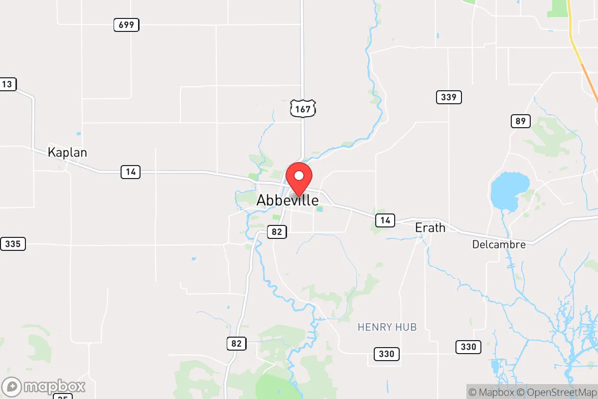
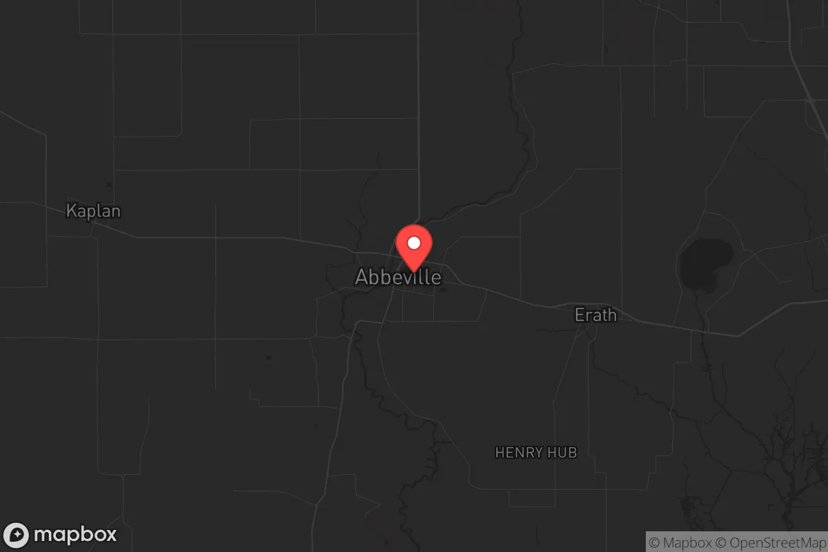
Abbeville, Louisiana, sits in a strategic sweet spot that many preppers overlook: far enough from major metropolitan chaos to offer genuine buffer, yet close enough to the Gulf’s resources and inland supply routes to sustain a long-term retreat. This Vermilion Parish seat of roughly 12,000 people anchors a region defined by bayous, marsh, and working farmland—terrain that naturally filters movement and provides both concealment and subsistence. For a relocator weighing civic unrest, mass casualty events, or systemic collapse, Abbeville’s resilience lies in its low profile, its access to water and food, and its distance from the kind of high-value targets that draw fallout in a crisis.
Geographic position and natural advantages for long-term security
Abbeville sits about 20 miles inland from the Gulf of Mexico, placing it outside the immediate storm-surge zone of a hurricane landfall while still benefiting from coastal weather patterns and marine resources. The surrounding Vermilion Parish is a patchwork of rice fields, crawfish ponds, cattle pastures, and cypress-tupelo swamps—land that is difficult to traverse quickly and offers natural concealment from unwanted attention. The Vermilion River runs through town, providing a reliable freshwater source, and the Intracoastal Waterway is within a short drive, offering an alternative transport corridor if roads become compromised. The area’s flat, low-lying geography means flooding is a real concern, but it also means the water table is high, making well drilling straightforward for those who secure property with adequate elevation. The nearest major population center is Lafayette, about 25 miles north—close enough for supply runs in normal times, but far enough that Abbeville won’t be overrun by urban refugees fleeing a collapse in the city. Houston is roughly 200 miles west, New Orleans 140 miles east; both are within a day’s drive but distant enough to avoid direct fallout from any event targeting those hubs.
Risks, exposures, and proximity to fallout-relevant landmarks
No location is without vulnerabilities, and Abbeville’s are tied to its coastal position and industrial neighbors. The primary natural risk is hurricane storm surge: a Category 3 or higher storm pushing water up Vermilion Bay could flood low-lying parts of town, particularly areas south of the river. The 2020 hurricane season tested this, with Hurricane Laura’s remnants causing localized flooding, though Abbeville fared better than coastal communities like Intracoastal City. On the man-made side, the region hosts several chemical plants and oil-and-gas infrastructure along the Gulf Intracoastal Waterway, including the Port of Vermilion and nearby LNG terminals. A major industrial accident—or a deliberate attack on energy infrastructure—could release toxic plumes or disrupt supply chains. However, Abbeville’s prevailing winds come from the south and southeast, meaning most industrial hazards are upwind or crosswind, not directly overhead. The nearest military installation is the Louisiana Army National Guard’s Camp Beauregard near Pineville, about 100 miles north—not a primary nuclear target. The Strategic Petroleum Reserve’s Bryan Mound site is near Freeport, Texas, 200 miles west, and the nation’s largest nuclear stockpile at the Pantex Plant in Texas is over 400 miles away. In a full-scale conflict, Abbeville is unlikely to be a first-strike target, but its proximity to Gulf energy infrastructure means secondary effects—like supply disruptions or refugee flows—are realistic concerns.
Practical resilience for a relocator: food, water, energy, and defensibility
For a prepper or survivalist, Abbeville’s practical assets are its strongest selling point. Food security is exceptional: the region is one of America’s top producers of crawfish, rice, and alligator, with year-round fishing in the Gulf and freshwater bayous. Hunting is abundant—deer, waterfowl, and wild hogs are common—and the long growing season (zone 9a) allows for three-season vegetable gardening. Water is plentiful from the Vermilion River, bayous, and shallow aquifers, though filtration is necessary due to agricultural runoff and saltwater intrusion near the coast. Rainwater catchment is viable, with annual precipitation averaging 60 inches. Energy resilience is mixed: the local grid is served by Entergy Louisiana, which has a history of storm-related outages, but natural gas is widely available for backup generation, and solar potential is decent (about 5 peak sun hours per day). Wood for heating is abundant in the surrounding swamps, though it requires seasoning due to high moisture content. Defensibility is where Abbeville shines: the town’s layout is compact, with a historic core of brick and masonry buildings that could serve as rally points. The surrounding marsh and farmland create natural choke points on the few roads leading in—primarily LA-14, LA-82, and LA-330. A determined group could monitor these approaches with minimal manpower. The local population is predominantly Cajun and conservative-leaning, with a strong culture of self-reliance, hunting, and community mutual aid—traits that align well with a prepper mindset. Vermilion Parish has a lower crime rate than the national average, and the sheriff’s office maintains a visible presence, but in a prolonged crisis, law enforcement would likely focus on Lafayette and the interstate corridors, leaving rural areas to fend for themselves.
The overall strategic picture for Abbeville is one of moderate risk with high reward for those willing to adapt to its wet, humid environment. It is not a bug-out location for someone seeking arid, mountainous terrain, but for a relocator who values water abundance, food production, and low visibility, it offers a defensible base with access to Gulf resources and inland escape routes. The key trade-off is coastal exposure versus resource density: you trade the security of high ground for the bounty of the marsh. For a conservative-leaning individual or family looking to weather civic unrest, economic collapse, or a major disaster, Abbeville provides a realistic, low-profile option that doesn’t require a bunker—just a boat, a garden, and a willingness to work the land. The surrounding region’s cultural cohesion and distance from major fallout zones make it a viable long-term retreat, provided you plan for flooding and maintain good relationships with your neighbors. In a world where the grid is fragile and the cities are tinderboxes, Abbeville is a quiet corner worth a serious look.
* Values derived from national, state, county, city and local statistics and may differ in a specific area. Last updated: 2026-04-23T02:41:37.000Z
Narrative content on this page is AI-generated and may contain mistakes. Verify any details that matter before acting on them.
ReloMaps may earn a commission from affiliate links at no extra cost to you.