
Photo: Wikipedia
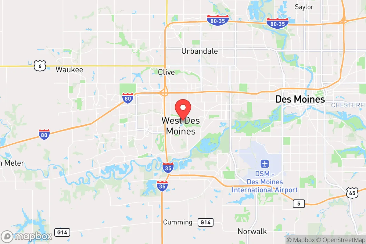
Strategic Assessment of West Des Moines, IA
Meaningful friction. Expect exposure to either population pressure, blast zones, or natural disaster risk. Consider buying a retreat property.
What does the Strategic Assessment tell us?
Our Strategic Assessment grades tactical survivability of an area. Major population centers, military targets, fallout zones, natural disasters, and border exposure all drive risk — lower exposure means a more defensible position in a crisis.
This is heavily inspired by Joel Skousen's Strategic Relocation book. Highly recommended you checkout the book ($)What does this tell us?
Our Strategic Assessment grades tactical survivability of an area. Major population centers, military targets, fallout zones, natural disasters, and border exposure all drive risk — lower exposure means a more defensible position in a crisis.
This is heavily inspired by Joel Skousen's Strategic Relocation book. Highly recommended you checkout the book ($)Strategic Pillars

Key Distances
Regional Safe Places
Below is our recommended "safe zones" in Iowa and the surrounding area based on our strategic heuristics. For most people, it's unrealistic to live in a “safe zone” full-time due to work, family or other personal reasons. They tend to be more rural. However, many of these areas are perfect for second homes and retreat properties that double as a vacation home or even a short-term rental.


Important Note: For informational purposes only. This does not mean nothing bad ever happens in the green zones. Please use common sense. This is based on public data and modeled with AI. We tried to take a conservative approach but mistakes happen. We update this regularly as new information becomes available.
Solar Generator Recommendations
Backup power matters more here than in safer locations. We've picked three solar generators across budgets and capacity tiers — start with the budget unit if you only need a few essentials, or step up if you want to run a fridge and HVAC for days at a time.

Jackery Portable Power Station Explorer 300
Budget OptionPower on the Go: Weighing only 11 lbs, it's convenient to set up and store with book-sized foldable solar panels

BLUETTI Portable Power Station AC180
Designed for both indoor and outdoor scenarios, AC180 is highly capable as it has a robost capacity and continuous output power.

EF ECOFLOW DELTA Pro Ultra Power Station
Upgraded PickEcoFlow DELTA Pro Ultra is a whole-home energy system designed to grow with your family. Integrated with the Smart Home Panel 2, it scales to meet your evolving energy needs — keeping your home powered, intelligent, and secure through every stage of life.
We earn a commission, at no additional cost to you.
Strategic Assessment Analysis
West Des Moines, Iowa, presents a mixed bag for the strategic relocator operating from a survivalist and prepper mindset. Its core strength is not raw isolation but a calculated balance: it sits far enough from the nation’s most volatile coastal and urban centers to avoid the immediate blast radius of a major event, yet it’s close enough to a stable, mid-sized metropolitan hub (Des Moines proper) to offer critical supply chains and medical infrastructure. The city’s resilience is anchored in its position within the Des Moines metropolitan statistical area, which has a diversified economy—insurance, finance, and agriculture—that is less prone to the boom-and-bust cycles of coastal tech or energy sectors. For a conservative-leaning individual or family concerned with civic unrest, mass casualty events, and national instability, West Des Moines offers a defensible, resource-rich staging ground, provided you understand its specific vulnerabilities.
Geographic position and natural advantages for long-term stability
West Des Moines sits in the heart of the Midwest, roughly 150 miles from the Missouri River and 200 miles from the Mississippi, placing it well outside the immediate fallout zones of major coastal targets like Chicago, St. Louis, or Minneapolis. The area’s topography is gently rolling plains, which offers decent line-of-sight for security without the concealment challenges of dense forests or mountains. The Raccoon River and the Des Moines River converge just north of the city, providing a reliable freshwater source that is less likely to be contaminated by upstream industrial runoff compared to rivers near heavy manufacturing hubs. The region’s agricultural base is a massive advantage: within a 50-mile radius, you have some of the most productive corn and soybean farmland in the world, meaning local food production is robust and less dependent on fragile national supply chains. The climate is continental, with cold winters that naturally deter large-scale transient populations and reduce the risk of vector-borne diseases that plague warmer regions. For a prepper, the ability to grow food, access clean water, and endure a harsh winter without relying on external power grids is a tangible asset.
Risks, exposures, and proximity to fallout-relevant landmarks
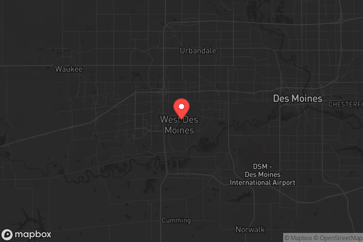
The most significant vulnerability for West Des Moines is its proximity to Des Moines International Airport (DSM) and the city’s role as a regional transportation hub. Interstate 35 and Interstate 80 intersect just east of the city, making it a natural chokepoint for both civilian evacuation and military logistics during a crisis. In a scenario involving civil unrest or a mass casualty event, these highways could become impassable or targeted. The city is also within 30 miles of the Iowa Army Ammunition Plant in Burlington, a high-value military target, and roughly 100 miles from the Omaha metro area, which hosts Offutt Air Force Base (home to U.S. Strategic Command). While not a direct blast zone, a major strike on Offutt or the ammunition plant could produce significant electromagnetic pulse (EMP) effects or fallout that would reach West Des Moines within hours. Additionally, the city’s reliance on the MidAmerican Energy grid—which is interconnected with the Eastern Interconnection—means a grid-down event affecting the Midwest could leave West Des Moines without power for weeks. The presence of large corporate campuses (e.g., Wells Fargo, Principal Financial) and a dense suburban population (over 68,000 residents) creates a target-rich environment for looting or social breakdown if law enforcement is overwhelmed. The city’s police force is well-funded but small relative to the population, and mutual aid agreements with surrounding counties could be strained during a regional crisis.
Practical resilience for a relocator: food, water, energy, and defensibility
For a relocator with a prepper mindset, West Des Moines offers several practical advantages that can be leveraged with proper planning. Food security is excellent: the city is surrounded by working farms, and the local Hy-Vee and Fareway grocery chains have strong supply chains that are less vulnerable than national big-box stores. You can also tap into the Des Moines Farmers’ Market (seasonal) and local CSAs for direct-from-farm produce. Water is a strong point—the Des Moines Water Works treats water from the Raccoon and Des Moines Rivers, and the city has backup wells. However, a prepper should invest in a Berkey or similar gravity filter and store at least 50 gallons per person, as a chemical spill or upstream contamination (e.g., from fertilizer runoff) could disrupt municipal supply for days. Energy is a weak link: the grid is reliable day-to-day but vulnerable to ice storms and cyberattacks. Solar panels are viable (the area gets about 200 sunny days per year), but battery storage is essential for winter months. Natural gas is widely available for heating, which is a plus for winter survival. Defensibility is moderate. The city’s layout is typical suburban sprawl—cul-de-sacs, strip malls, and open fields—which makes it hard to secure a single perimeter. However, the western and southern edges of West Des Moines (near the Raccoon River Valley and rural Dallas County) offer more isolated properties with acreage, better sightlines, and fewer neighbors. A relocator should prioritize a home with a basement (tornado and fallout shelter), a well, and a wood-burning stove. The local gun culture is strong—Iowa is a shall-issue state for concealed carry, and there are multiple ranges and gun shops in the area—so you can legally and practically prepare for self-defense. The biggest practical risk is the city’s density: during a prolonged grid-down event, you’d have to compete with tens of thousands of other residents for limited resources. A bug-out location 20–30 miles west (toward Adair or Guthrie Center) would be a wise hedge.
Overall, West Des Moines is a viable but not ideal relocation target for the survivalist or prepper. It scores high on food and water access, moderate on energy and defensibility, and low on isolation. If your primary concern is a localized event like a tornado, ice storm, or temporary supply chain disruption, this city is well-prepared. But if you’re planning for a long-term collapse, civil war, or major geopolitical conflict, the proximity to critical infrastructure, highways, and a dense population center makes it a riskier bet. The smart play is to use West Des Moines as a forward operating base—live there for the economic stability and medical access, but have a fully stocked retreat property in a rural county like Madison or Adair within a 45-minute drive. That dual-location strategy gives you the best of both worlds: the convenience of a functioning city during normal times and a defensible fallback when the world goes sideways. For a conservative family looking to balance career, community, and preparedness, West Des Moines is a solid B+—not a fortress, but a place where you can build a resilient life if you stay sharp and stay stocked.
* Values derived from national, state, county, city and local statistics and may differ in a specific area. Last updated: 2026-04-19T08:47:25.000Z
Narrative content on this page is AI-generated and may contain mistakes. Verify any details that matter before acting on them.
ReloMaps may earn a commission from affiliate links at no extra cost to you.