
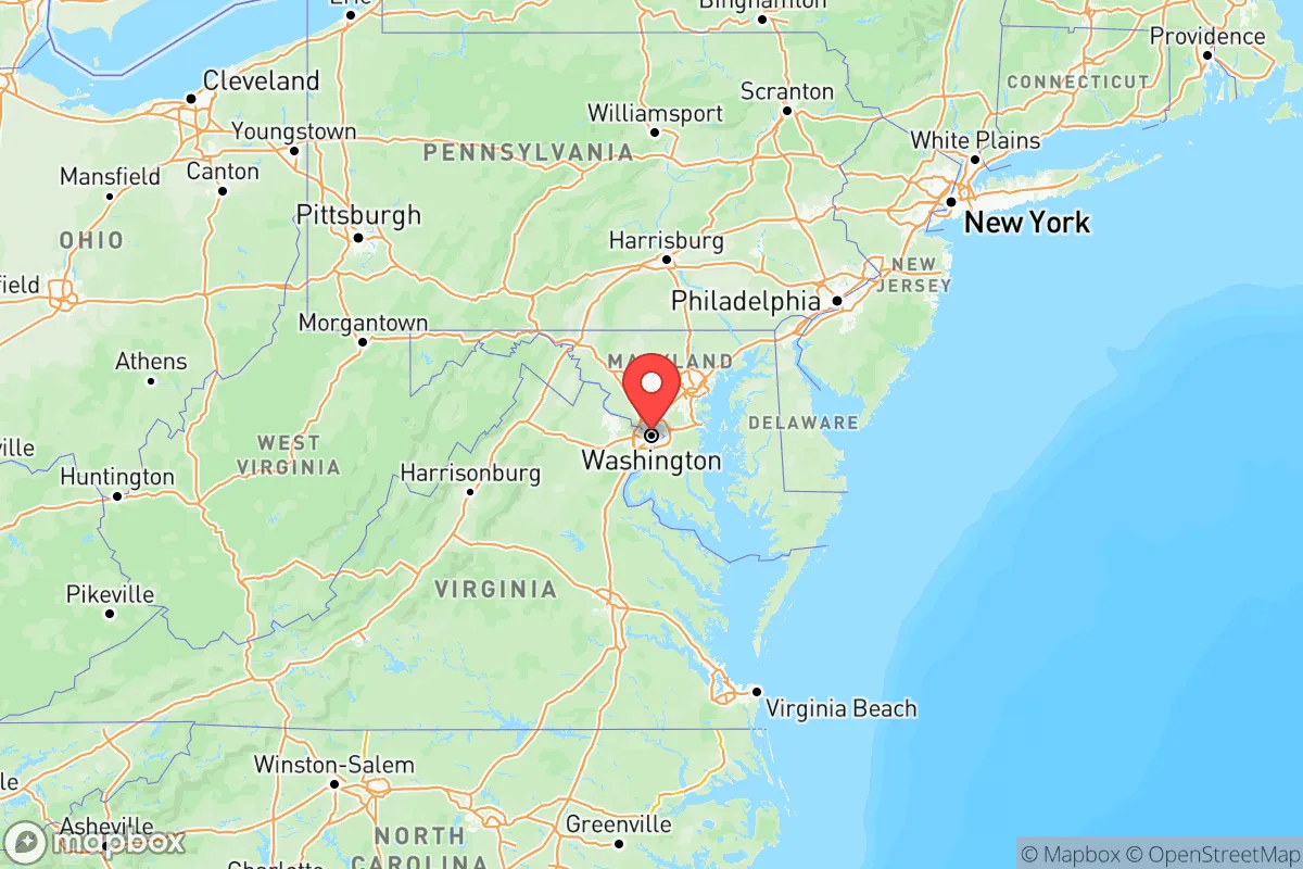
Strategic Assessment of Washington
Meaningful friction. Expect exposure to either population pressure, blast zones, or natural disaster risk. Consider buying a retreat property.
What does the Strategic Assessment tell us?
Our Strategic Assessment grades tactical survivability of an area. Major population centers, military targets, fallout zones, natural disasters, and border exposure all drive risk — lower exposure means a more defensible position in a crisis.
This is heavily inspired by Joel Skousen's Strategic Relocation book. Highly recommended you checkout the book ($)What does this tell us?
Our Strategic Assessment grades tactical survivability of an area. Major population centers, military targets, fallout zones, natural disasters, and border exposure all drive risk — lower exposure means a more defensible position in a crisis.
This is heavily inspired by Joel Skousen's Strategic Relocation book. Highly recommended you checkout the book ($)Regional Safe Places
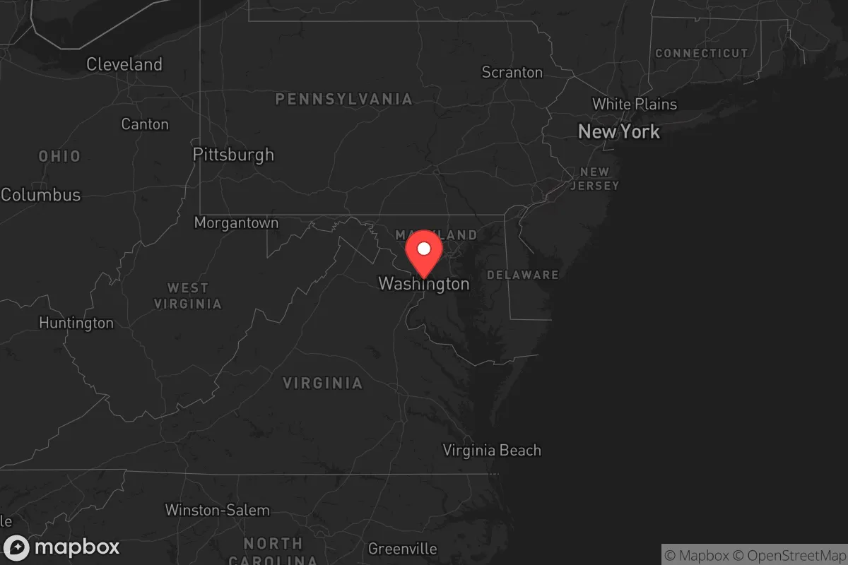
Below is our recommended "safe zones" in Washington and the surrounding area based on our strategic heuristics. For most people, it's unrealistic to live in a “safe zone” full-time due to work, family or other personal reasons. They tend to be more rural. However, many of these areas are perfect for second homes and retreat properties that double as a vacation home or even a short-term rental.


Important Note: For informational purposes only. This does not mean nothing bad ever happens in the green zones. Please use common sense. This is based on public data and modeled with AI. We tried to take a conservative approach but mistakes happen. We update this regularly as new information becomes available.
Solar Generator Recommendations
Backup power matters more here than in safer locations. We've picked three solar generators across budgets and capacity tiers — start with the budget unit if you only need a few essentials, or step up if you want to run a fridge and HVAC for days at a time.

Jackery Portable Power Station Explorer 300
Budget OptionPower on the Go: Weighing only 11 lbs, it's convenient to set up and store with book-sized foldable solar panels

BLUETTI Portable Power Station AC180
Designed for both indoor and outdoor scenarios, AC180 is highly capable as it has a robost capacity and continuous output power.

EF ECOFLOW DELTA Pro Ultra Power Station
Upgraded PickEcoFlow DELTA Pro Ultra is a whole-home energy system designed to grow with your family. Integrated with the Smart Home Panel 2, it scales to meet your evolving energy needs — keeping your home powered, intelligent, and secure through every stage of life.
We earn a commission, at no additional cost to you.
Strategic Assessment Analysis
For a relocator prioritizing long-term resilience, Washington state offers a paradoxical mix of advantages and liabilities — but the smart money looks east of the Cascades, not west. The state's geographic diversity means you can pick terrain that suits your tolerance for risk, from the rain-soaked coastal strip to the high desert of the Columbia Basin. Here's the strategic assessment you need before making a move, focused on what actually matters if things go sideways: location, exposure, and practical day-to-day survivability.
Geographic position and natural advantages that matter for survival
Washington sits in the far northwest corner of the Lower 48, which is a double-edged sword. On one hand, you're miles away from the major East Coast population clusters and any plausible conventional conflict corridor. The Cascade Range creates a natural barrier that splits the state into two distinct zones. The western third is wet, forested, and choked with people near Puget Sound; the eastern two-thirds are arid, open, and far less populated. For the prepper, that eastern half is where you want to be. The Columbia River and its tributaries provide a massive, reliable freshwater network. Dams like Grand Coulee and Chief Joseph generate hydropower that could be tapped with the right equipment. The agricultural output in the Yakima Valley, the Palouse grain belt around Spokane, and the orchard country near Wenatchee means food production is local and plentiful — if you have a way to secure it. The mountain passes — Snoqualmie, Stevens, White — form chokepoints that can be monitored or controlled. A relocator who sets up in Ferry County or the Okanogan Highlands is buying time, separation, and defensible terrain.
Strategic risks: exposure to natural disasters, industrial targets, and population centers
Washington's sobering reality is that its most dangerous features are not foreign adversaries but the ground under your feet and the infrastructure built during the Cold War. The Cascadia subduction zone runs offshore, capable of a magnitude 9+ earthquake and a tsunami that would obliterate the coastal strip from Grays Harbor to the Strait of Juan de Fuca. Any relocation west of the I-5 corridor puts you inside that kill zone. Then there are the volcanoes: Mount Rainier looms over the Tacoma-Puyallup area, and a lahar could bury thousands in mud within minutes. Mount St. Helens is still active. More relevant to the survival-minded relocator are the man-made targets. The Hanford Site in the Columbia Basin — 56 million gallons of high-level radioactive waste stored in aging tanks — is a single catastrophic event away from poisoning the river that supplies much of eastern Washington's irrigation. The refineries at Anacortes and Cherry Point are prime targets for sabotage or military strike. Joint Base Lewis-McChord near Tacoma is America's largest West Coast military installation — and in any major conflict, it's a likely first-strike point. The Port of Seattle and Port of Tacoma handle enormous cargo volumes, making them central to any supply-chain disruption. And then there's Seattle itself: a dense, politically volatile metro area of 4 million people. When civil unrest or economic collapse hits, that population will push outward into the surrounding counties. The relocator who buys acreage in Kittitas County or Lincoln County is buying distance from that inevitable outflow.
Practical resilience: food, water, energy, and defensibility in Washington
Water is Washington's biggest asset. The Columbia, Snake, and Pend Oreille rivers provide year-round flow, but you must plan for contamination events — Hanford poisoning, upstream chemical spills, or biological attacks. A deep well with a hand pump, or a river-accessible property with quality filtration, is non-negotiable. Energy is a mixed bag. The hydroelectric grid is robust but centralized; an EMP or cyberattack could take out the whole system. Eastern Washington gets over 300 days of sunshine annually, making solar a viable off-grid solution. Winters are cold — single digits in the northeast — so wood heat and passive solar design are critical. Food is abundant if you're in the right place. The Palouse region grows wheat and legumes; the Yakima Valley produces fruit, hops, and wine; the Columbia Basin has potatoes, corn, and livestock. But this food is commercial-scale, meaning it's trucked to distribution centers and then back to stores. A relocator needs to either contract directly with local farmers, start a garden capable of feeding a family, or learn to hunt the abundant deer and elk in the national forests. Defensibility is excellent in the right locations. The Okanogan and Stevens County areas are remote, with limited paved roads and vast public land. Population density in Pend Oreille County is under 10 people per square mile. The Canadian border is nearby, offering an alternative route if things become untenable. But access cuts both ways: a landslide or intentional roadblock on Highway 2 or Highway 20 could isolate you entirely. You need alternate routes, stored fuel, and a vehicle that can handle unmaintained roads.
The overall strategic picture for Washington is one of calculated trade-offs. The western side offers mild weather and abundant rain but places you directly inside multiple danger zones — earthquake, tsunami, volcano, industrial fallout, and dense metro populations that will become hostile post-collapse. The eastern side offers space, resources, and defensibility at the cost of harsh winters and a more austere
Top 10 Cities by Strategic Assessment in Washington


* Values derived from national, state, county, city and local statistics and may differ in a specific area. Last updated: 2026-06-03T01:58:48.000Z
Narrative content on this page is AI-generated and may contain mistakes. Verify any details that matter before acting on them.
ReloMaps may earn a commission from affiliate links at no extra cost to you.