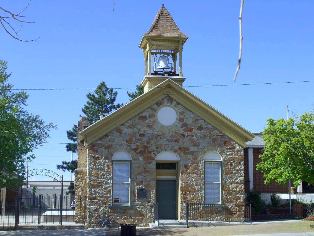
Photo: Wikipedia
Strategic Assessment of Tooele County
Strong survivability profile. Good buffer from population centers, with manageable environmental and tactical risks.
What does the Strategic Assessment tell us?
Our Strategic Assessment grades tactical survivability of an area. Major population centers, military targets, fallout zones, natural disasters, and border exposure all drive risk — lower exposure means a more defensible position in a crisis.
This is heavily inspired by Joel Skousen's Strategic Relocation book. Highly recommended you checkout the book ($)What does this tell us?
Our Strategic Assessment grades tactical survivability of an area. Major population centers, military targets, fallout zones, natural disasters, and border exposure all drive risk — lower exposure means a more defensible position in a crisis.
This is heavily inspired by Joel Skousen's Strategic Relocation book. Highly recommended you checkout the book ($)Strategic Pillars

Key Distances
Strategic Assessment Analysis
Tooele County, Utah, presents a compelling strategic profile for relocators prioritizing resilience and self-sufficiency, anchored by its unique geography and proximity to the Wasatch Front without being consumed by it. The county’s position west of the Oquirrh Mountains creates a natural buffer from the urban density of Salt Lake City, while its vast, sparsely populated expanse offers a degree of physical separation that is increasingly rare along the I-15 corridor. For a conservative-leaning audience weighing disaster readiness, Tooele County’s combination of open land, existing infrastructure, and relative isolation from major metropolitan fallout zones makes it a serious contender—but one with specific, non-negotiable trade-offs that demand careful evaluation.
Geographic position and natural advantages: The Oquirrh barrier and Great Basin access
Tooele County’s defining strategic asset is its location west of the Oquirrh Mountains, which act as a physical and meteorological shield from the Salt Lake Valley. The county seat, Tooele City, sits roughly 35 miles southwest of downtown Salt Lake City, but the mountain range reduces visual and noise pollution while creating a distinct microclimate. The county spans over 7,000 square miles, much of it high desert and basin-and-range terrain, offering abundant space for dispersed settlement—a key factor for anyone concerned about population-density risks during a crisis. The Great Salt Lake Desert to the west provides a natural buffer against approach from that direction, while the Stansbury Mountains and Onaqui Mountains offer defensible high ground for those with property in the western valleys. Water access is a mixed bag: the county relies heavily on the Provo River watershed via the Jordanelle Reservoir system and local aquifers, but the arid climate means surface water is limited. The Grantsville area, with its proximity to the Stansbury Front, has better groundwater potential than the southern reaches near Rush Valley. For a relocator, the key takeaway is that the county’s geography provides excellent natural barriers and space, but water security requires deliberate planning—well drilling is common but depth and yield vary significantly by location.
Risks, exposures, and proximity to fallout-relevant landmarks
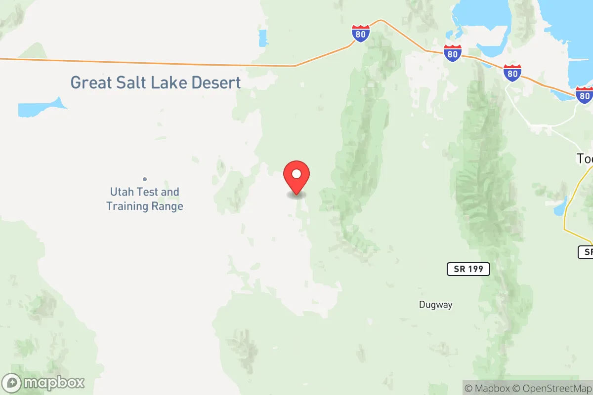
The same geography that provides isolation also places Tooele County near several high-consequence landmarks that demand serious consideration. The most prominent is the Tooele Army Depot, a sprawling munitions storage and demilitarization facility located just south of Tooele City. This installation stores conventional and chemical munitions, making it a potential target in a conflict scenario and a source of ongoing environmental monitoring. Nearby, the Deseret Chemical Depot (now largely decommissioned) and the Utah Test and Training Range (UTTR) in the western desert add to the county’s military-industrial footprint. The Magna area, just east of the Oquirrhs, hosts the Rio Tinto Kennecott copper mine and its tailings pond—a massive industrial site that, while not a direct fallout risk, represents a concentrated hazard zone. For a relocator, the proximity to Salt Lake City International Airport (roughly 40 miles east) and the I-15 corridor means that a major event in the Wasatch Front could still generate refugee flows or supply chain disruptions that reach Tooele County within hours. The county’s position downwind of the Great Salt Lake also means that a chemical or radiological release from the lake’s industrial south shore (including the US Magnesium plant) could affect western valleys under certain wind patterns. Earthquake risk is moderate but real—the Wasatch Fault runs along the eastern edge of the Oquirrhs, and a major quake could disrupt the mountain passes (especially Parley’s Canyon and I-80) that connect Tooele to the rest of the state. The bottom line: Tooele County is not a fallout-free zone, but its risks are concentrated and knowable, unlike the diffuse vulnerabilities of a major metro area.
Practical resilience for a relocator: Food, water, energy, and defensibility
For a relocator serious about self-sufficiency, Tooele County offers a mixed but workable baseline. Food production is limited by the arid climate and short growing season (roughly 120 frost-free days in the valleys), but the Tooele Valley and Rush Valley have a history of dryland farming and livestock grazing. The Grantsville area supports some irrigated alfalfa and hay operations, and the Stansbury Park community has a growing number of small-scale market gardens. For a family, establishing a reliable food supply would require greenhouse infrastructure, rainwater catchment, and deep-well irrigation—doable but capital-intensive. Water is the county’s Achilles’ heel: the Tooele City water system draws from the Provo River via the Jordanelle Reservoir, a source that could be disrupted by earthquake or drought. Rural properties rely on wells that tap into the Bishop Conglomerate and Lake Bonneville aquifers, but yields vary wildly—some wells produce 10+ gallons per minute, others struggle at 2 GPM. Energy is a relative strength: the county is served by Rocky Mountain Power (grid electricity), but solar potential is excellent, with over 300 sunny days per year. The Utah Test and Training Range hosts large-scale solar farms, and residential solar with battery storage is increasingly common in Erda and Lake Point. Defensibility is where Tooele County shines: the Oquirrh Mountains create a natural choke point at I-80 and SR-36, and the county’s low population density (roughly 80,000 people across 7,000 square miles) means that a prepared household can achieve genuine physical separation. The Stansbury Mountains offer remote valleys with limited road access, and the Dugway Proving Ground to the west provides a de facto buffer zone (though access is restricted). For a family, the practical resilience equation comes down to upfront investment: land is relatively affordable (median home prices in Tooele County are roughly 30% lower than Salt Lake County), but the cost of drilling a well, installing solar, and building a greenhouse can quickly add up. The county’s Tooele County Emergency Management office is active and well-regarded, offering regular CERT training and community preparedness programs—a sign that local authorities take resilience seriously.
The overall strategic picture for Tooele County is one of high potential paired with specific, manageable liabilities. For a relocator who values physical separation from the Wasatch Front’s density and is willing to invest in water and food infrastructure, the county offers a rare combination of natural barriers, open space, and existing community infrastructure. The proximity to military and industrial sites is a real but localized risk—anyone settling within 10 miles of the Tooele Army Depot or the UTTR should have a clear evacuation plan and a radiation detection kit. The county’s conservative political culture (Tooele County voted +37 R in 2024) aligns with the values of self-reliance and limited government that many in this audience prioritize. The bottom line: Tooele County is not a bug-out location—it’s a place to build a life with resilience baked in, provided you’re willing to do the homework on water, energy, and local hazards. For a family or individual serious about disaster readiness, it ranks among the more viable options in the Intermountain West, but it demands active preparation rather than passive assumption of safety.

* Values derived from national, state, county, city and local statistics and may differ in a specific area. Last updated: 2026-06-17T08:29:46.000Z
Narrative content on this page is AI-generated and may contain mistakes. Verify any details that matter before acting on them.
ReloMaps may earn a commission from affiliate links at no extra cost to you.

