
Photo: Wikipedia
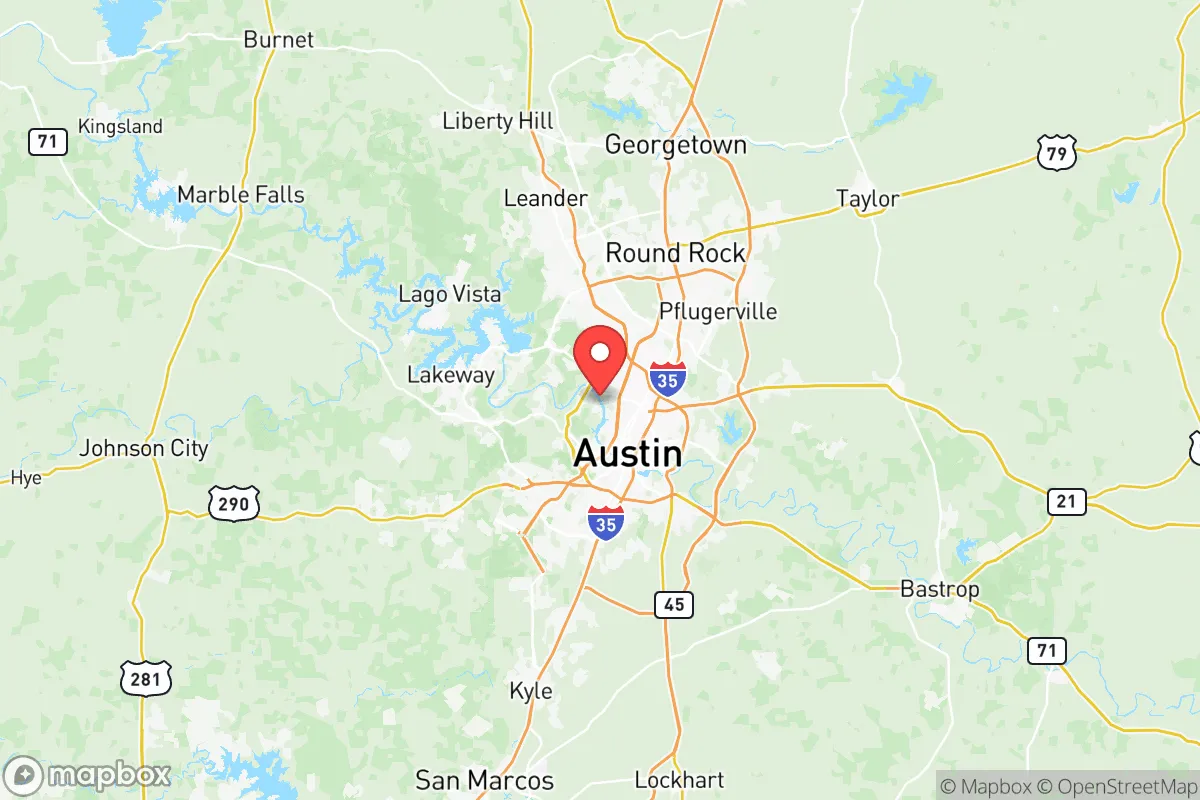
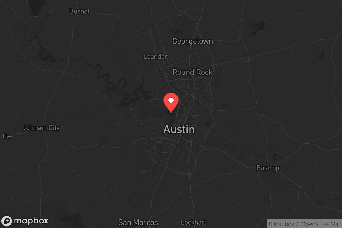
Strategic Assessment of Travis County
Multiple tactical vulnerabilities. Population density, target proximity, or disaster risk are likely compounding. A retreat property and exit planning is required.
What does the Strategic Assessment tell us?
Our Strategic Assessment grades tactical survivability of an area. Major population centers, military targets, fallout zones, natural disasters, and border exposure all drive risk — lower exposure means a more defensible position in a crisis.
This is heavily inspired by Joel Skousen's Strategic Relocation book. Highly recommended you checkout the book ($)What does this tell us?
Our Strategic Assessment grades tactical survivability of an area. Major population centers, military targets, fallout zones, natural disasters, and border exposure all drive risk — lower exposure means a more defensible position in a crisis.
This is heavily inspired by Joel Skousen's Strategic Relocation book. Highly recommended you checkout the book ($)Strategic Pillars

Key Distances
Strategic Assessment Analysis
Travis County offers a surprisingly strong strategic position for relocators focused on resilience, blending the economic and logistical advantages of the Austin metro with a geographic buffer that many other major urban centers lack. Its location in Central Texas places it outside the direct fallout zones of the Gulf Coast's refinery corridor and the Dallas-Fort Worth metroplex, while still providing access to critical infrastructure and supply chains. For a single individual or family weighing disaster readiness and self-sufficiency, Travis County presents a mix of genuine strengths and notable vulnerabilities that demand a clear-eyed assessment.
Geographic position and natural advantages for long-term stability
Travis County sits at the eastern edge of the Texas Hill Country, a region defined by limestone bedrock, rolling hills, and a climate that is less prone to the worst extremes of hurricanes, tornadoes, and wildfires than other parts of Texas. The county's elevation ranges from roughly 400 to 1,200 feet above sea level, which provides natural drainage and reduces flood risk in most areas outside the immediate floodplains of the Colorado River. The Balcones Fault Zone, which runs through the western part of the county, creates a natural topographic barrier that has historically limited the westward spread of major wildfires and provides defensible terrain for rural properties. The presence of the Colorado River and the Highland Lakes chain—including Lake Travis, Lake Austin, and Lake Buchanan—offers a substantial freshwater reservoir that is rare for a county of this population size. The city of Austin itself is roughly 150 miles from the Gulf Coast, placing it well outside the typical storm surge and wind-damage zones of Category 3+ hurricanes, and about 180 miles from Houston's petrochemical complex, which is a primary fallout concern for any Gulf-adjacent relocation plan.
Risks, exposures, and proximity to fallout-relevant landmarks
The most significant risk for Travis County relocators is its proximity to several high-value man-made targets that could become fallout-relevant in a major conflict or systemic disruption. The Austin-Bergstrom International Airport (ABIA) is a major civilian and military airfield, and the nearby Camp Mabry serves as the Texas Military Department headquarters—both are plausible targets in a strategic strike scenario. Additionally, the county lies within 60 miles of Fort Cavazos (formerly Fort Hood) in Bell County, one of the largest active-duty military installations in the United States, which would be a primary target in any large-scale conflict. The presence of the Lower Colorado River Authority (LCRA) dams—particularly the Mansfield Dam on Lake Travis and the Tom Miller Dam on Lake Austin—creates a secondary risk: a deliberate or accidental breach could cause catastrophic flooding downstream through downtown Austin and into Bastrop County. On the natural disaster side, the county sits in an area of moderate seismic activity due to the Balcones Fault Zone, though earthquakes above magnitude 4.0 are rare. Wildfire risk is elevated in the western Hill Country portions of the county, especially in communities like Bee Cave, Lakeway, and Westlake Hills, where dense cedar and oak brush creates heavy fuel loads during drought years. The 2011 Bastrop County Complex Fire, which burned over 34,000 acres and destroyed 1,600 homes just east of Travis County, serves as a recent reminder that Central Texas is not immune to large-scale wildfire events.
Practical resilience for a relocator: food, water, energy, and defensibility
For a relocator focused on self-sufficiency, Travis County offers a mixed but workable picture. Water access is the county's strongest resilience asset: the Highland Lakes system provides a reliable surface water supply, and the Edwards Aquifer, which underlies much of the county, offers groundwater potential for those with the means to drill a well. However, water rights are tightly regulated, and new wells in many parts of the county require permits and may be limited during drought. Food production potential is moderate: the county has a growing local food movement, with farmers' markets in Austin, Dripping Springs, and Elgin, and there are several established community-supported agriculture (CSA) networks. The blackland prairie soils in the eastern part of the county are fertile for row crops, while the Hill Country west of Austin is better suited for livestock and orchard crops. For energy resilience, Travis County benefits from being part of the Texas Interconnection grid (ERCOT), which is isolated from the Eastern and Western Interconnections—a double-edged sword. On one hand, it reduces the risk of cascading grid failures from distant events; on the other, it proved vulnerable during Winter Storm Uri in 2021, when the county experienced rolling blackouts for days. Solar potential is excellent, with over 220 sunny days per year on average, and many rural properties in the western part of the county are already off-grid or grid-tied with battery backup. Defensibility varies dramatically by location: the dense urban core of Austin offers little in the way of secure retreat, while the Hill Country communities of Lakeway, Spicewood, and Lago Vista provide more defensible terrain with limited road access points and natural chokepoints. The county's population of over 1.3 million means that any large-scale evacuation would face severe congestion on the major highways—IH-35, US-290, and SH-71—all of which are prone to gridlock even during normal rush hours.
The overall strategic picture for Travis County is one of a high-opportunity, moderate-risk environment that rewards careful location selection. For a relocator willing to live in the western Hill Country or the rural eastern fringe, the county offers a strong balance of water security, energy independence potential, and geographic buffer from the most severe fallout zones along the Gulf Coast and the Dallas-Fort Worth corridor. The key trade-off is proximity to Austin's economic and medical infrastructure versus exposure to the risks associated with a major metropolitan area and its military-adjacent targets. For families and individuals who prioritize resilience without wanting to completely abandon urban amenities, Travis County remains one of the more viable options in Texas—provided you choose your specific neighborhood with the same care you would apply to a bug-out location.
* Values derived from national, state, county, city and local statistics and may differ in a specific area. Last updated: 2026-06-08T02:21:57.000Z
Narrative content on this page is AI-generated and may contain mistakes. Verify any details that matter before acting on them.
ReloMaps may earn a commission from affiliate links at no extra cost to you.