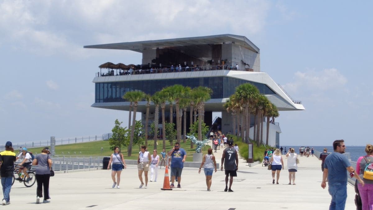
Photo: Wikipedia
Strategic Assessment of St. Petersburg, FL
High tactical risk. This location is likely close to major population centers, strategic targets, or sits in a high-disaster corridor. A retreat property and careful exit planning is required.
What does the Strategic Assessment tell us?
Our Strategic Assessment grades tactical survivability of an area. Major population centers, military targets, fallout zones, natural disasters, and border exposure all drive risk — lower exposure means a more defensible position in a crisis.
This is heavily inspired by Joel Skousen's Strategic Relocation book. Highly recommended you checkout the book ($)What does this tell us?
Our Strategic Assessment grades tactical survivability of an area. Major population centers, military targets, fallout zones, natural disasters, and border exposure all drive risk — lower exposure means a more defensible position in a crisis.
This is heavily inspired by Joel Skousen's Strategic Relocation book. Highly recommended you checkout the book ($)Strategic Pillars

Key Distances
Regional Safe Places
Below is our recommended "safe zones" in Florida and the surrounding area based on our strategic heuristics. For most people, it's unrealistic to live in a “safe zone” full-time due to work, family or other personal reasons. They tend to be more rural. However, many of these areas are perfect for second homes and retreat properties that double as a vacation home or even a short-term rental.

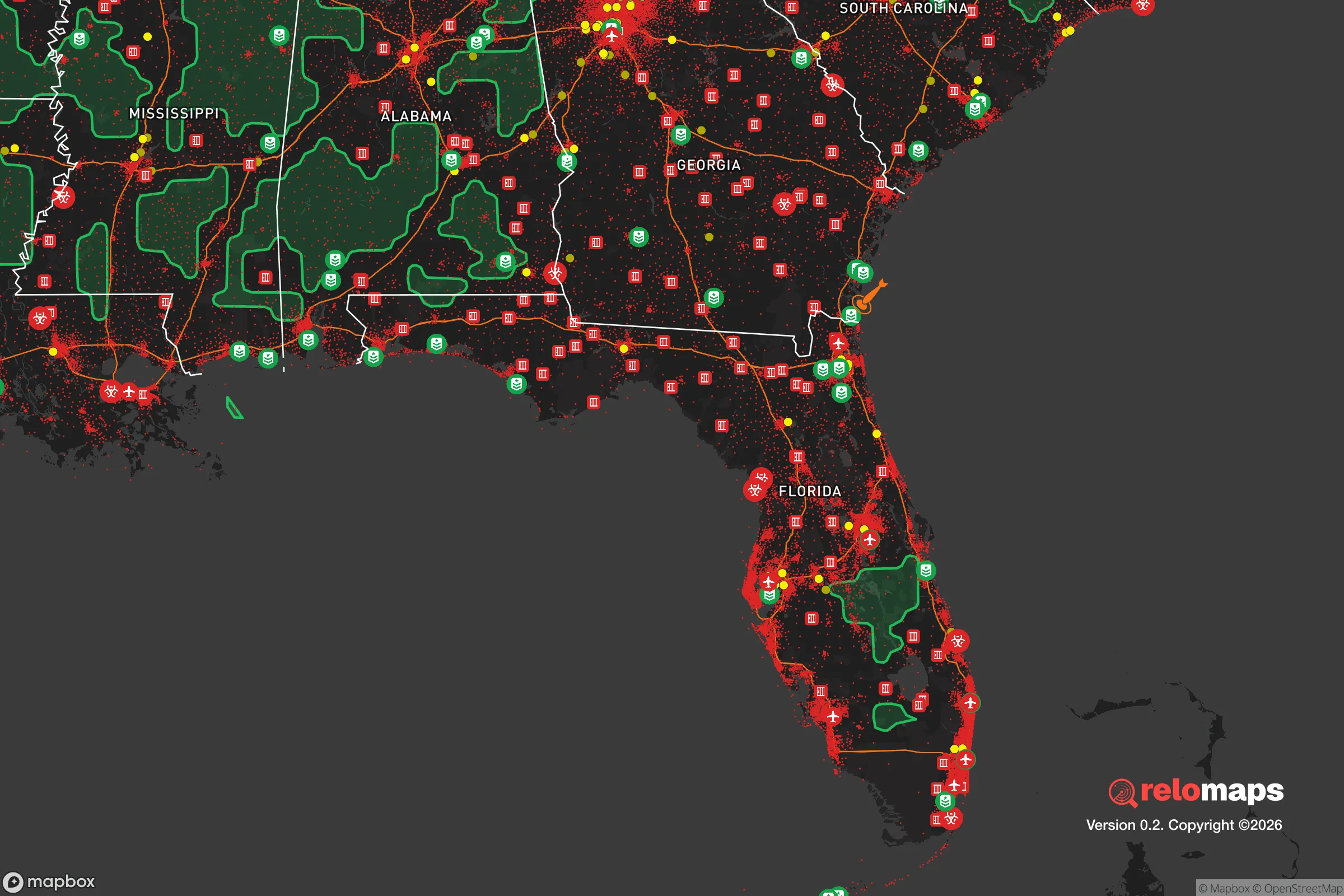
Important Note: For informational purposes only. This does not mean nothing bad ever happens in the green zones. Please use common sense. This is based on public data and modeled with AI. We tried to take a conservative approach but mistakes happen. We update this regularly as new information becomes available.
Solar Generator Recommendations
Backup power matters more here than in safer locations. We've picked three solar generators across budgets and capacity tiers — start with the budget unit if you only need a few essentials, or step up if you want to run a fridge and HVAC for days at a time.

Jackery Portable Power Station Explorer 300
Budget OptionPower on the Go: Weighing only 11 lbs, it's convenient to set up and store with book-sized foldable solar panels

BLUETTI Portable Power Station AC180
Designed for both indoor and outdoor scenarios, AC180 is highly capable as it has a robost capacity and continuous output power.

EF ECOFLOW DELTA Pro Ultra Power Station
Upgraded PickEcoFlow DELTA Pro Ultra is a whole-home energy system designed to grow with your family. Integrated with the Smart Home Panel 2, it scales to meet your evolving energy needs — keeping your home powered, intelligent, and secure through every stage of life.
We earn a commission, at no additional cost to you.
Strategic Assessment Analysis
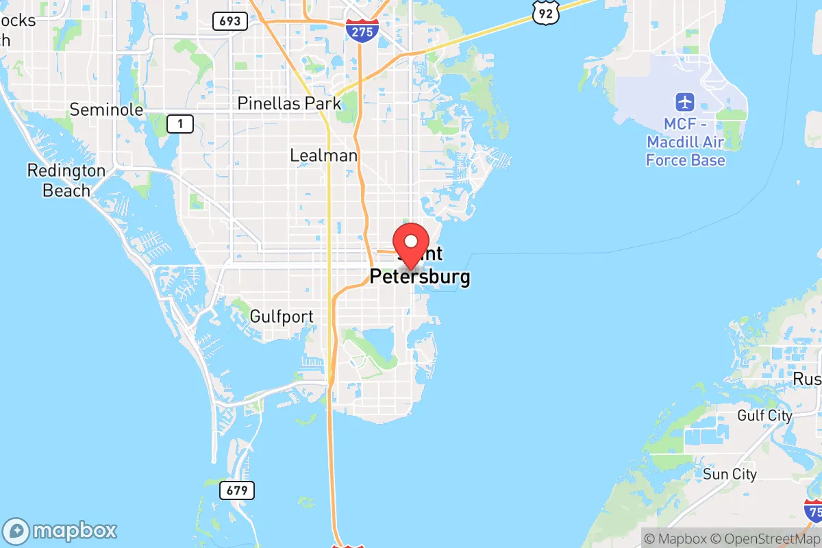
St. Petersburg, Florida, presents a complex strategic picture for the conservative prepper or survivalist. Its primary resilience advantage is its peninsular geography—bounded by Tampa Bay and the Gulf of Mexico—which naturally limits ingress and egress, creating a defensible bottleneck for anyone controlling the bridges. However, this same geography makes it a high-risk zone for hurricane storm surge, and its proximity to the massive Tampa Bay metroplex (over 3 million people) means that in a collapse scenario, St. Pete would be a primary target for refugee flow and resource competition. The area’s long-term viability hinges on whether you can secure a position that leverages the water for food and transport while avoiding the crush of a fleeing urban population.
Geographic position and natural advantages for long-term survival
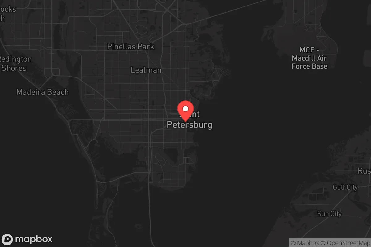
St. Petersburg sits on a peninsula between Tampa Bay and the Gulf of Mexico, with the Sunshine Skyway Bridge to the south and the Howard Frankland, Courtney Campbell, and Gandy Bridges to the north connecting it to Tampa. This layout offers a key defensive feature: only four road bridges and one major causeway (the Pinellas Bayway) provide vehicle access to the mainland. In a grid-down or civil unrest scenario, controlling or destroying these chokepoints could effectively isolate the city from the chaos of Tampa and St. Petersburg’s own urban core. The surrounding waters provide a natural moat, and the Intracoastal Waterway offers a secondary transport route for small boats, allowing movement of supplies or evacuation without using roads. The Gulf’s warm waters also support year-round fishing, and the area’s subtropical climate means no freeze risk for food storage or agriculture—a significant advantage over northern prepper locations. The barrier islands (e.g., Fort De Soto Park, Honeymoon Island) offer remote, low-density staging areas with fresh water access via rainfall collection, though they are extremely vulnerable to storm surge.
Risks, exposures, and proximity to fallout-relevant landmarks
The most immediate threat is hurricane storm surge. St. Petersburg’s average elevation is roughly 20 feet above sea level, with large swaths of the city—particularly south of Central Avenue and along the waterfront—sitting at 5 feet or less. A Category 3 or higher storm would inundate most of the peninsula, making evacuation mandatory and destroying any ground-level supplies. The city is also within 20 miles of MacDill Air Force Base in Tampa, a major military command center (CENTCOM and SOCOM). In a national emergency, MacDill would be a high-value target for both state and non-state actors, and its proximity means St. Pete could face secondary effects from any attack on the base—whether conventional, EMP, or radiological. Additionally, the Port of Tampa is a major fuel and fertilizer hub; a major industrial accident or sabotage there could release toxic clouds or trigger explosions that drift across the bay. The city’s dense population (over 260,000 in the city proper, over 960,000 in Pinellas County) means that any mass casualty event—pandemic, food shortage, or civil unrest—would cascade quickly due to limited road egress. The bridges would become death traps in a panic evacuation.
Practical resilience for a relocator: food, water, energy, and defensibility
For a single individual or family serious about self-sufficiency, St. Pete offers mixed prospects. Fresh water is the critical vulnerability: the city relies entirely on the Tampa Bay Water regional system, which draws from the Hillsborough River and the Tampa Bypass Canal. In a prolonged grid-down event, municipal water would fail within days. Rainwater catchment is viable (annual rainfall is ~50 inches), but storage space is limited on most residential lots. The shallow Floridan aquifer is accessible via private wells in some unincorporated areas (e.g., north Pinellas near Tarpon Springs), but most of St. Pete is built on fill and clay, making well drilling expensive and unreliable. Food resilience is better: the Gulf provides year-round fishing (snapper, grouper, mackerel, and mullet), and the warm climate allows for three-season vegetable gardening. However, soil quality is sandy and requires heavy amendment. Energy resilience is a bright spot: Florida has net metering and a high solar insolation rate (5.5 peak sun hours per day), so a rooftop solar array with battery backup can keep a home running indefinitely, even through hurricane outages. Defensibility is the weakest link. The city’s dense, flat layout offers few natural defensive positions. A rural homestead on the outskirts (e.g., near the Brooker Creek Preserve or in the East Lake area) would provide more buffer, but those areas are still within 30 minutes of downtown. The best strategic play for a prepper in St. Pete is to secure a property on a dead-end street near a water source (canal or bayou) with a boat for escape, and to pre-position supplies for at least 90 days of self-sufficiency.
Overall, St. Petersburg is a high-risk, moderate-reward location for the conservative survivalist. Its natural moat and climate are genuine assets, but the hurricane threat, population density, and proximity to military and industrial targets create a fragile strategic picture. This is not a bug-out destination; it is a location for someone who already has deep local knowledge, a boat, and a plan to evacuate inland (e.g., to the Ocala National Forest or the Green Swamp) before a storm or crisis hits. For the relocator seeking a long-term, defensible homestead, the Florida interior or the Panhandle offers far better odds. St. Pete works best as a temporary base for building resources and connections, with the understanding that when the balloon goes up, you are leaving the peninsula—not hunkering down on it.
* Values derived from national, state, county, city and local statistics and may differ in a specific area. Last updated: 2026-04-15T23:48:06.000Z
Narrative content on this page is AI-generated and may contain mistakes. Verify any details that matter before acting on them.
ReloMaps may earn a commission from affiliate links at no extra cost to you.