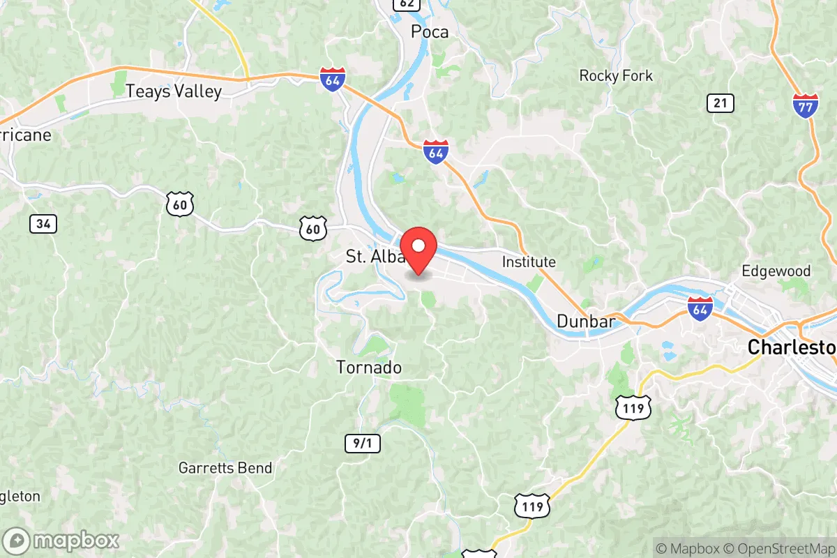
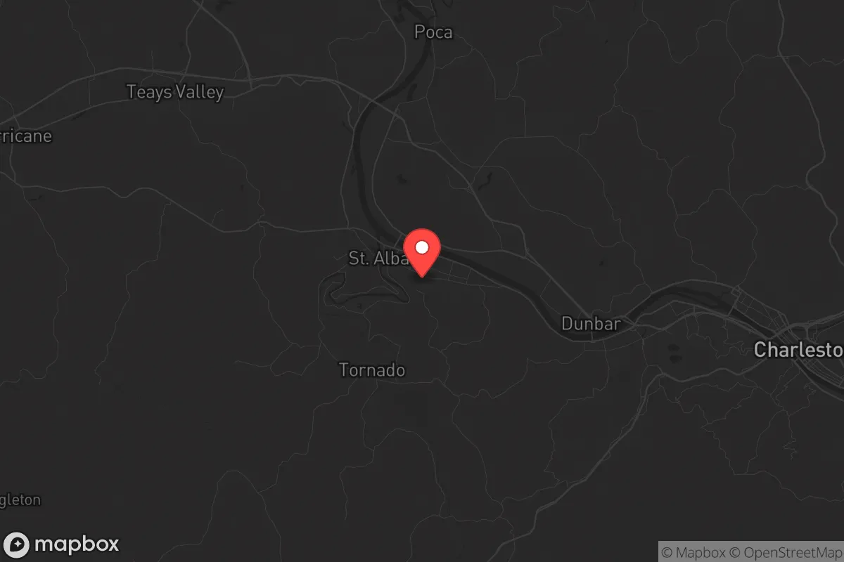
Strategic Assessment of St Albans, WV
Meaningful friction. Expect exposure to either population pressure, blast zones, or natural disaster risk. Consider buying a retreat property.
What does the Strategic Assessment tell us?
Our Strategic Assessment grades tactical survivability of an area. Major population centers, military targets, fallout zones, natural disasters, and border exposure all drive risk — lower exposure means a more defensible position in a crisis.
This is heavily inspired by Joel Skousen's Strategic Relocation book. Highly recommended you checkout the book ($)What does this tell us?
Our Strategic Assessment grades tactical survivability of an area. Major population centers, military targets, fallout zones, natural disasters, and border exposure all drive risk — lower exposure means a more defensible position in a crisis.
This is heavily inspired by Joel Skousen's Strategic Relocation book. Highly recommended you checkout the book ($)Strategic Pillars

Key Distances
Regional Safe Places
Below is our recommended "safe zones" in West Virginia and the surrounding area based on our strategic heuristics. For most people, it's unrealistic to live in a “safe zone” full-time due to work, family or other personal reasons. They tend to be more rural. However, many of these areas are perfect for second homes and retreat properties that double as a vacation home or even a short-term rental.


Important Note: For informational purposes only. This does not mean nothing bad ever happens in the green zones. Please use common sense. This is based on public data and modeled with AI. We tried to take a conservative approach but mistakes happen. We update this regularly as new information becomes available.
Solar Generator Recommendations
Backup power matters more here than in safer locations. We've picked three solar generators across budgets and capacity tiers — start with the budget unit if you only need a few essentials, or step up if you want to run a fridge and HVAC for days at a time.

Jackery Portable Power Station Explorer 300
Budget OptionPower on the Go: Weighing only 11 lbs, it's convenient to set up and store with book-sized foldable solar panels

BLUETTI Portable Power Station AC180
Designed for both indoor and outdoor scenarios, AC180 is highly capable as it has a robost capacity and continuous output power.

EF ECOFLOW DELTA Pro Ultra Power Station
Upgraded PickEcoFlow DELTA Pro Ultra is a whole-home energy system designed to grow with your family. Integrated with the Smart Home Panel 2, it scales to meet your evolving energy needs — keeping your home powered, intelligent, and secure through every stage of life.
We earn a commission, at no additional cost to you.
Strategic Assessment Analysis
St Albans, West Virginia, offers a strategic sweet spot for those prioritizing resilience: it sits far enough from the immediate blast zones of major population centers to avoid the worst of a collapse scenario, yet close enough to the Ohio River Valley’s logistical spine to allow for trade and movement if things stabilize. The town’s location along the Kanawha River, combined with its position in a state that consistently votes +40 points Republican, provides a cultural and geographic buffer that many preppers find appealing. For a relocator looking at the long game—civic unrest, supply chain disruptions, or a major disaster—St Albans presents a mix of natural advantages and hard trade-offs that demand a clear-eyed assessment.
Geographic position and natural buffers from urban collapse
St Albans sits roughly 15 miles west of Charleston, the state capital, which itself is a modest metro area of about 50,000 people. That distance is critical: it’s close enough to access medical facilities, hardware stores, and bulk suppliers in a normal year, but far enough that a riot or mass casualty event in Charleston won’t spill over into your neighborhood. The Kanawha River provides a natural barrier to the south and east, and the surrounding hills—part of the Appalachian Plateau—create choke points on the few roads leading in and out. US Route 60 and Interstate 64 run through the area, but both are easily blocked or monitored if needed. The region’s low population density (about 100 people per square mile in the county) means fewer eyes on your movements and less competition for resources during a crisis. For a survivalist, the ability to control access to your immediate area is a major plus, and St Albans’ geography delivers that without requiring you to live in a remote cabin with no cell service.
Risks, exposures, and proximity to fallout-relevant landmarks
The biggest strategic liability here is the Kanawha River itself. While it provides water and a natural barrier, it also runs through an industrial corridor that includes chemical plants and a major rail line. A derailment or industrial accident—think East Palestine, Ohio, but closer—could contaminate the water supply or force an evacuation. The nearby Yeager Airport in Charleston is a potential target for any coordinated attack, and the state capitol building is a symbolic one. That said, the risk of a nuclear strike on Charleston is low; it’s not a major military or economic hub. More realistically, the area’s reliance on a single major highway (I-64) for resupply means a bridge failure or a prolonged protest could cut St Albans off from the rest of the state. The good news: the surrounding terrain offers multiple secondary routes via state roads and old logging paths, but you’ll need a capable vehicle and local knowledge to use them. For a relocator, the key takeaway is that St Albans is not a zero-risk zone, but the risks are manageable with basic preparation—unlike living within 20 miles of a major city like DC or Pittsburgh.
Practical resilience for a relocator: food, water, energy, and defensibility
Water is the first concern, and the Kanawha River is a double-edged sword. It’s a reliable surface water source, but you’ll need a high-quality filtration system (think Berkey or a sand filter) because of industrial runoff and agricultural silt. Well water is common in the surrounding rural areas, but within St Albans town limits, most homes are on municipal supply, which could fail during a grid-down event. For food, the region has a strong gardening culture—the growing season runs April to October—and local farmers’ markets are active. The soil is rocky but workable, and deer hunting is legal and popular. You can supplement with bulk dry goods from the local Walmart or the smaller grocery co-ops in Charleston. Energy is a mixed bag: the grid is aging but stable in normal times, and natural gas is widely available for heating. Solar is viable, though the hilly terrain means you’ll need to site panels carefully to avoid shade. Defensibility is where St Albans shines. The town’s layout—a mix of older neighborhoods with large lots and newer subdivisions—means you can choose a property with good sightlines and limited access points. The local police force is small (about 30 officers), so in a prolonged crisis, you’ll rely on yourself and your neighbors. The culture here is heavily pro-Second Amendment, and you’ll find multiple gun shops and ranges within a 20-minute drive. For a single individual or a family, the ability to secure your home and store supplies without drawing attention is a real advantage.
The overall strategic picture for St Albans is one of calculated trade-offs. It’s not a remote bunker location, and it’s not a self-sufficient homestead paradise. What it offers is a middle ground: a place where you can maintain a normal job and community life while still being able to prep effectively for the worst. The proximity to Charleston gives you access to hospitals, hardware, and information, but the hills and river give you a buffer. The political and cultural alignment with conservative values means you’re less likely to face friction from neighbors if you’re stockpiling supplies or training. For a relocator who wants to be ready for civic unrest, mass casualty events, or a slow-motion collapse, St Albans is a solid B+ choice—not perfect, but far better than most suburban or urban alternatives. The key is to treat it as a base of operations, not a final redoubt, and to build relationships with the local community before you need them. That’s the real strategic advantage here: the people are the resource, and in St Albans, they’re mostly the kind you’d want in a fight.
* Values derived from national, state, county, city and local statistics and may differ in a specific area. Last updated: 2026-05-01T13:39:36.000Z
Narrative content on this page is AI-generated and may contain mistakes. Verify any details that matter before acting on them.
ReloMaps may earn a commission from affiliate links at no extra cost to you.