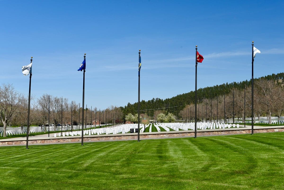
Photo: Wikipedia
Strategic Assessment of Meade County
Strong survivability profile. Good buffer from population centers, with manageable environmental and tactical risks.
What does the Strategic Assessment tell us?
Our Strategic Assessment grades tactical survivability of an area. Major population centers, military targets, fallout zones, natural disasters, and border exposure all drive risk — lower exposure means a more defensible position in a crisis.
This is heavily inspired by Joel Skousen's Strategic Relocation book. Highly recommended you checkout the book ($)What does this tell us?
Our Strategic Assessment grades tactical survivability of an area. Major population centers, military targets, fallout zones, natural disasters, and border exposure all drive risk — lower exposure means a more defensible position in a crisis.
This is heavily inspired by Joel Skousen's Strategic Relocation book. Highly recommended you checkout the book ($)Strategic Pillars

Key Distances
Strategic Assessment Analysis
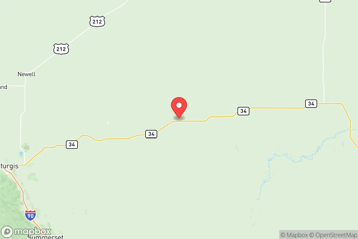
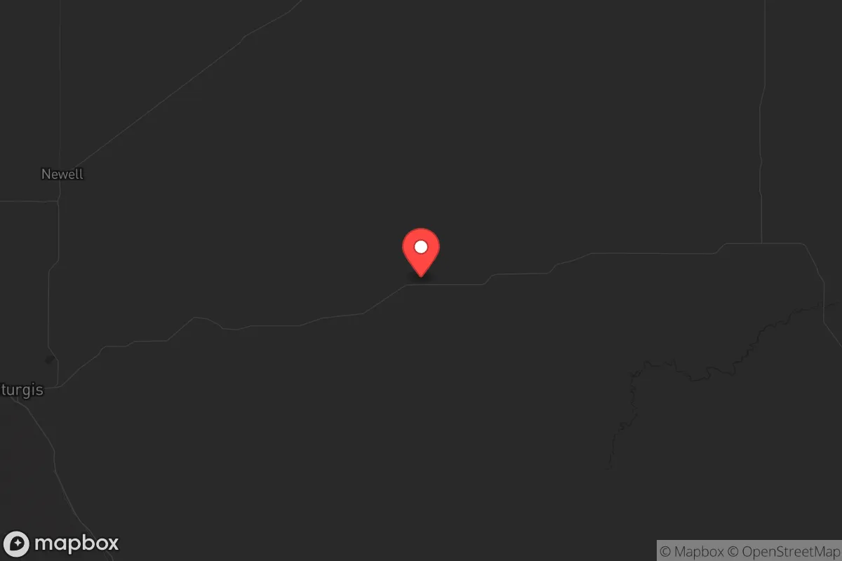
Meade County, South Dakota, offers a compelling strategic position for those prioritizing resilience and self-sufficiency, largely due to its location along the I-90 corridor while remaining far from the major population centers and industrial targets that define higher-risk zones. The county’s seat, Sturgis, is known for its annual motorcycle rally, but year-round it functions as a quiet, low-density hub with direct access to the Black Hills and the broader High Plains. For a relocator concerned with civic unrest, mass casualty events, or fallout from national-level disruptions, Meade County provides a rare combination of geographic isolation, natural resource abundance, and a deeply ingrained culture of independence that aligns with conservative preparedness values.
Geographic position and natural advantages for long-term security
Meade County sits in western South Dakota, bordered by the Black Hills National Forest to the west and the Cheyenne River to the east, creating a natural buffer zone that complicates any large-scale movement into the area. The county’s terrain is a mix of rolling prairie, pine-covered hills, and river valleys, offering defensible positions and multiple egress routes if needed. The proximity to Ellsworth Air Force Base, just south of Box Elder, is a double-edged sword—it’s a potential target, but it also ensures a strong military presence and infrastructure that can stabilize the region during a crisis. The Black Hills themselves provide a massive, rugged area for retreat, with Rapid City (just south of the county line) serving as a regional supply hub, though its population of roughly 77,000 is small enough to avoid the chaos of a major metro. The county’s elevation (averaging 3,000 feet) and semi-arid climate reduce risks from flooding and hurricanes, while the cold winters naturally limit population influx during a crisis.
Risks, exposures, and proximity to fallout-relevant landmarks
No location is without vulnerabilities, and Meade County’s primary risk stems from its proximity to Ellsworth Air Force Base, which houses B-1B Lancer bombers and is a high-priority target in any major conflict. A direct strike on the base would produce significant fallout, but the prevailing westerly winds would carry contamination eastward, away from most of Meade County’s population centers. The county is also within 50 miles of the Pine Ridge Indian Reservation to the south, which could experience social instability during a national emergency, though the sparse population density (roughly 6 people per square mile) limits the risk of mass migration. The Sturgis Motorcycle Rally, drawing over 500,000 visitors annually, is a temporary but acute exposure—a single event could become a vector for disease or civil unrest, though the county’s law enforcement and emergency services are well-practiced in managing large crowds. No major refineries, chemical plants, or nuclear power stations exist within 100 miles, making the area far safer than the Houston or Chicago corridors. The Cheyenne River and Belle Fourche River provide water sources that could be contaminated by upstream agricultural runoff, but not by industrial fallout.
Practical resilience for a relocator: food, water, energy, and defensibility
For a relocator focused on self-sufficiency, Meade County offers strong fundamentals. Water is accessible via shallow wells across most of the county, with the Madison Aquifer underlying the region and providing reliable groundwater at depths of 100-300 feet. The Belle Fourche Irrigation District supports local agriculture, meaning food production is viable for those with land—cattle ranching and hay farming dominate, but small-scale vegetable gardens thrive with proper soil amendment. Energy resilience is high: the county is served by Black Hills Energy, which maintains a mix of coal, natural gas, and renewable sources, but off-grid solar is practical given the region’s 220+ sunny days per year. Wood heating is abundant from the Black Hills National Forest, though fire permits are required during dry months. Defensibility is a standout feature—the county’s low population density and vast open spaces mean a prepared individual can secure a property with clear sightlines and natural barriers. The Sturgis and Whitewood areas offer rural properties with access to county roads that can be monitored easily, while the Black Hills provide deep wilderness for a bug-out location. Local gun culture is strong, with multiple shooting ranges and a sheriff’s office that is generally supportive of Second Amendment rights. The Meade County Sheriff’s Office is well-funded and responsive, but in a major crisis, residents are expected to handle their own security—a reality that aligns with prepper philosophy.
The overall strategic picture for Meade County is one of balanced risk and reward. It avoids the catastrophic exposure of coastal cities or industrial corridors, while offering the natural resources and community ethos needed for long-term survival. The presence of Ellsworth AFB is a calculated risk—one that comes with the benefit of a nearby military population that shares conservative values and emergency response capabilities. For a single individual or family willing to invest in well water, solar panels, and a defensible property, Meade County provides a solid foundation for weathering national-level disruptions. The key is to secure land away from the I-90 corridor and Sturgis rally zones, focusing on the northern or western reaches of the county where isolation is greatest. In a world where urban centers are increasingly fragile, this corner of South Dakota offers a quiet, prepared, and strategically sound alternative.
* Values derived from national, state, county, city and local statistics and may differ in a specific area. Last updated: 2026-05-19T19:12:15.000Z
Narrative content on this page is AI-generated and may contain mistakes. Verify any details that matter before acting on them.
ReloMaps may earn a commission from affiliate links at no extra cost to you.