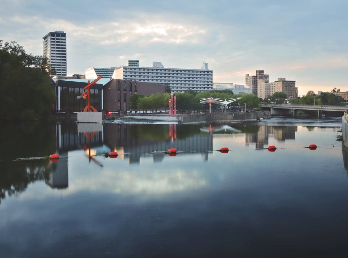
Photo: Wikipedia
Strategic Assessment of South Bend, IN
Meaningful friction. Expect exposure to either population pressure, blast zones, or natural disaster risk. Consider buying a retreat property.
What does the Strategic Assessment tell us?
Our Strategic Assessment grades tactical survivability of an area. Major population centers, military targets, fallout zones, natural disasters, and border exposure all drive risk — lower exposure means a more defensible position in a crisis.
This is heavily inspired by Joel Skousen's Strategic Relocation book. Highly recommended you checkout the book ($)What does this tell us?
Our Strategic Assessment grades tactical survivability of an area. Major population centers, military targets, fallout zones, natural disasters, and border exposure all drive risk — lower exposure means a more defensible position in a crisis.
This is heavily inspired by Joel Skousen's Strategic Relocation book. Highly recommended you checkout the book ($)Strategic Pillars

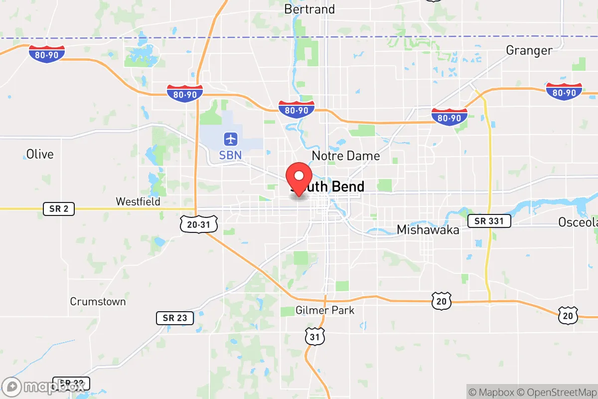
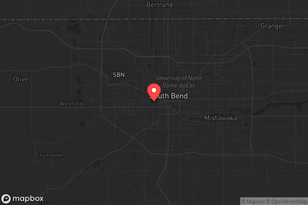
Key Distances
Regional Safe Places
Below is our recommended "safe zones" in Indiana and the surrounding area based on our strategic heuristics. For most people, it's unrealistic to live in a “safe zone” full-time due to work, family or other personal reasons. They tend to be more rural. However, many of these areas are perfect for second homes and retreat properties that double as a vacation home or even a short-term rental.

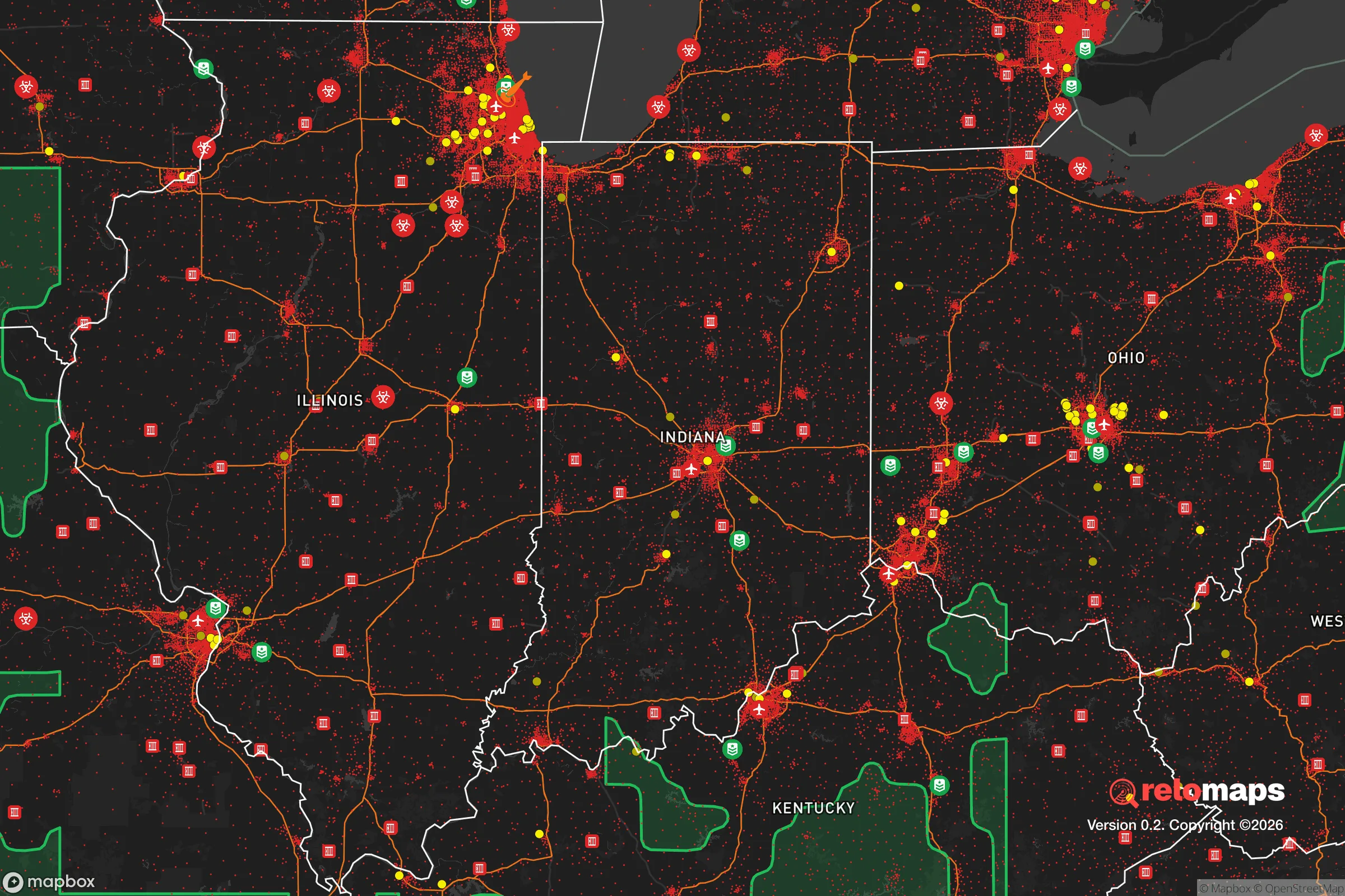
Important Note: For informational purposes only. This does not mean nothing bad ever happens in the green zones. Please use common sense. This is based on public data and modeled with AI. We tried to take a conservative approach but mistakes happen. We update this regularly as new information becomes available.
Solar Generator Recommendations
Backup power matters more here than in safer locations. We've picked three solar generators across budgets and capacity tiers — start with the budget unit if you only need a few essentials, or step up if you want to run a fridge and HVAC for days at a time.

Jackery Portable Power Station Explorer 300
Budget OptionPower on the Go: Weighing only 11 lbs, it's convenient to set up and store with book-sized foldable solar panels

BLUETTI Portable Power Station AC180
Designed for both indoor and outdoor scenarios, AC180 is highly capable as it has a robost capacity and continuous output power.

EF ECOFLOW DELTA Pro Ultra Power Station
Upgraded PickEcoFlow DELTA Pro Ultra is a whole-home energy system designed to grow with your family. Integrated with the Smart Home Panel 2, it scales to meet your evolving energy needs — keeping your home powered, intelligent, and secure through every stage of life.
We earn a commission, at no additional cost to you.
Strategic Assessment Analysis
South Bend, Indiana, sits in a strategic sweet spot that resilience-minded relocators should take seriously: close enough to major Great Lakes infrastructure to matter, far enough from the worst-case fallout zones to offer genuine breathing room. The city’s location along the St. Joseph River and its position as a regional hub for northern Indiana and southwest Michigan give it a quiet but real advantage for those thinking about long-term stability, resource access, and the ability to weather the kind of disruptions that keep preppers up at night. It’s not a bunker town, but it’s not a dead end either—and that balance is exactly what makes it worth a hard look.
Geographic position and natural advantages for long-term stability
South Bend’s geography is its strongest card. The city sits roughly 90 miles east of Chicago and 25 miles south of the Michigan state line, placing it within a day’s drive of the entire upper Midwest without being swallowed by any single metro’s collapse radius. The St. Joseph River runs through the heart of the city, providing a reliable surface water source that can be tapped for drinking, irrigation, or emergency supply—something that matters when municipal systems get strained. The surrounding terrain is flat to gently rolling, with a mix of farmland, woodlots, and small lakes that offer both agricultural potential and natural cover. The area’s glacial till soils are fertile, supporting corn, soybeans, and hay, which means local food production isn’t a fantasy. Winters are cold and snowy, which is a double-edged sword: it discourages mass migration from warmer regions but also demands serious heating and snow-removal prep. The lack of major seismic, hurricane, or wildfire risk is a plus—the primary natural threats here are tornadoes (typically EF-2 or weaker) and occasional flooding along the river, both manageable with basic planning.
Risks, exposures, and proximity to fallout-relevant landmarks
No location is risk-free, and South Bend has its share of exposure that a survivalist needs to weigh. The most obvious concern is proximity to Chicago—a major population center, economic hub, and potential target for civil unrest, infrastructure failure, or even a coordinated attack. At 90 miles out, South Bend is far enough to avoid the immediate blast radius of a nuclear event in Chicago, but fallout patterns depend on wind direction. Prevailing westerlies mean that a Chicago-area detonation could push radioactive material toward the city within hours. The same logic applies to the Palisades Nuclear Plant in Michigan, about 40 miles northwest, which is currently decommissioned but still stores spent fuel on site—a long-term liability if security degrades. The Indiana Michigan Power plant in nearby Bridgman, Michigan, is another operational nuclear facility within 50 miles. On the plus side, South Bend is not near any major military bases, missile silos, or high-value government targets that would draw a first strike. The city’s own industrial base—once dominated by Studebaker, now more diversified into healthcare, education, and logistics—doesn’t make it a primary target. The real risk is secondary: being a refuge destination for Chicago evacuees, which could strain local resources fast. Interstate 80/90 and the South Shore Line rail connection make it an easy escape route for city dwellers, meaning you’ll want to be established and stocked before the panic hits.
Practical resilience for a relocator: food, water, energy, and defensibility
For someone serious about self-sufficiency, South Bend offers a workable baseline. Water is the first concern, and the St. Joseph River is a year-round, high-volume source—but it requires treatment. Boiling, filtration, or chemical purification is non-negotiable, especially downstream from agricultural runoff and municipal discharge. The city’s municipal water system draws from groundwater wells, which are less vulnerable to surface contamination but still dependent on the power grid. A backup well on private property is ideal, but not always feasible in city limits. Food-wise, the surrounding farmland is a genuine asset. Elkhart County, just east, is one of the most productive agricultural areas in Indiana, with Amish and Mennonite communities running small-scale, low-tech farms that could become critical supply nodes in a breakdown. Local farmers’ markets and CSAs are already active, and the growing season runs roughly April to October. For long-term storage, the area’s cool basements and root cellars work well. Energy is a mixed bag. The local grid is served by Indiana Michigan Power, with a mix of coal, natural gas, and nuclear. Outages happen, especially during ice storms, but they’re rarely prolonged in the city itself. Solar is viable—the region gets about 180 sunny days per year, comparable to much of the Midwest—but winter cloud cover cuts production. A generator or battery bank is a smart hedge. Defensibility is where South Bend falls short compared to a rural homestead. The city has a population of about 103,000, with a density that makes perimeter security impractical. The good news is that the urban layout includes older neighborhoods with brick homes, alleyways, and some industrial zones that could be hardened. The bad news is that you’re sharing space with a lot of people who didn’t prep. For a relocator, the smart play is to buy on the outskirts—south or west of the city center, where lots are larger and neighbors are fewer. The area around Potato Creek State Park, about 15 miles southwest, offers a better balance of access and isolation.
The overall strategic picture for South Bend is one of cautious opportunity. It’s not a prepper paradise—you won’t find off-grid compounds or militia strongholds here—but it’s a functional, affordable base with real geographic advantages for someone who wants to be prepared without going full hermit. The key is to treat it as a hub, not a fortress: secure a property with well water, garden space, and a wood-burning heat source; build relationships with local farmers and tradesmen; and keep a low profile. The city’s biggest weakness is its connection to Chicago, but that’s also its biggest strength—it gives you access to medical centers, supply chains, and a labor market that most small towns lack. If you’re looking for a place to ride out the next decade with your family, South Bend deserves a spot on your short list. Just don’t wait until the sirens go off to make the move.
* Values derived from national, state, county, city and local statistics and may differ in a specific area. Last updated: 2026-04-22T09:06:58.000Z
Narrative content on this page is AI-generated and may contain mistakes. Verify any details that matter before acting on them.
ReloMaps may earn a commission from affiliate links at no extra cost to you.