Photo: Wikipedia
Strategic Assessment of Somerville, MA
High tactical risk. This location is likely close to major population centers, strategic targets, or sits in a high-disaster corridor. A retreat property and careful exit planning is required.
What does the Strategic Assessment tell us?
Our Strategic Assessment grades tactical survivability of an area. Major population centers, military targets, fallout zones, natural disasters, and border exposure all drive risk — lower exposure means a more defensible position in a crisis.
This is heavily inspired by Joel Skousen's Strategic Relocation book. Highly recommended you checkout the book ($)What does this tell us?
Our Strategic Assessment grades tactical survivability of an area. Major population centers, military targets, fallout zones, natural disasters, and border exposure all drive risk — lower exposure means a more defensible position in a crisis.
This is heavily inspired by Joel Skousen's Strategic Relocation book. Highly recommended you checkout the book ($)Strategic Pillars

Key Distances
Regional Safe Places
Below is our recommended "safe zones" in Massachusetts and the surrounding area based on our strategic heuristics. For most people, it's unrealistic to live in a “safe zone” full-time due to work, family or other personal reasons. They tend to be more rural. However, many of these areas are perfect for second homes and retreat properties that double as a vacation home or even a short-term rental.


Important Note: For informational purposes only. This does not mean nothing bad ever happens in the green zones. Please use common sense. This is based on public data and modeled with AI. We tried to take a conservative approach but mistakes happen. We update this regularly as new information becomes available.
Solar Generator Recommendations
Backup power matters more here than in safer locations. We've picked three solar generators across budgets and capacity tiers — start with the budget unit if you only need a few essentials, or step up if you want to run a fridge and HVAC for days at a time.

Jackery Portable Power Station Explorer 300
Budget OptionPower on the Go: Weighing only 11 lbs, it's convenient to set up and store with book-sized foldable solar panels

BLUETTI Portable Power Station AC180
Designed for both indoor and outdoor scenarios, AC180 is highly capable as it has a robost capacity and continuous output power.

EF ECOFLOW DELTA Pro Ultra Power Station
Upgraded PickEcoFlow DELTA Pro Ultra is a whole-home energy system designed to grow with your family. Integrated with the Smart Home Panel 2, it scales to meet your evolving energy needs — keeping your home powered, intelligent, and secure through every stage of life.
We earn a commission, at no additional cost to you.
Strategic Assessment Analysis
Somerville, Massachusetts presents a complex strategic picture for the conservative prepper. On one hand, its dense urban fabric and deep-blue political culture create obvious vulnerabilities; on the other, its position as a transportation hub and its proximity to regional resources offer certain resilience advantages that a disciplined relocator can exploit. The key is understanding that Somerville is not a retreat location—it is a forward operating base, best suited for those who must remain near Boston for work or family but who want to harden their position against the worst-case scenarios.
Geographic position and natural advantages for long-term survival
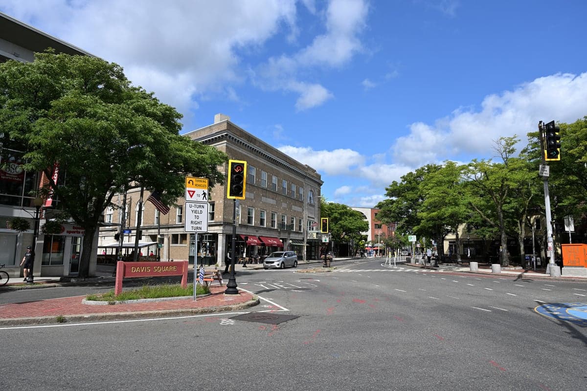
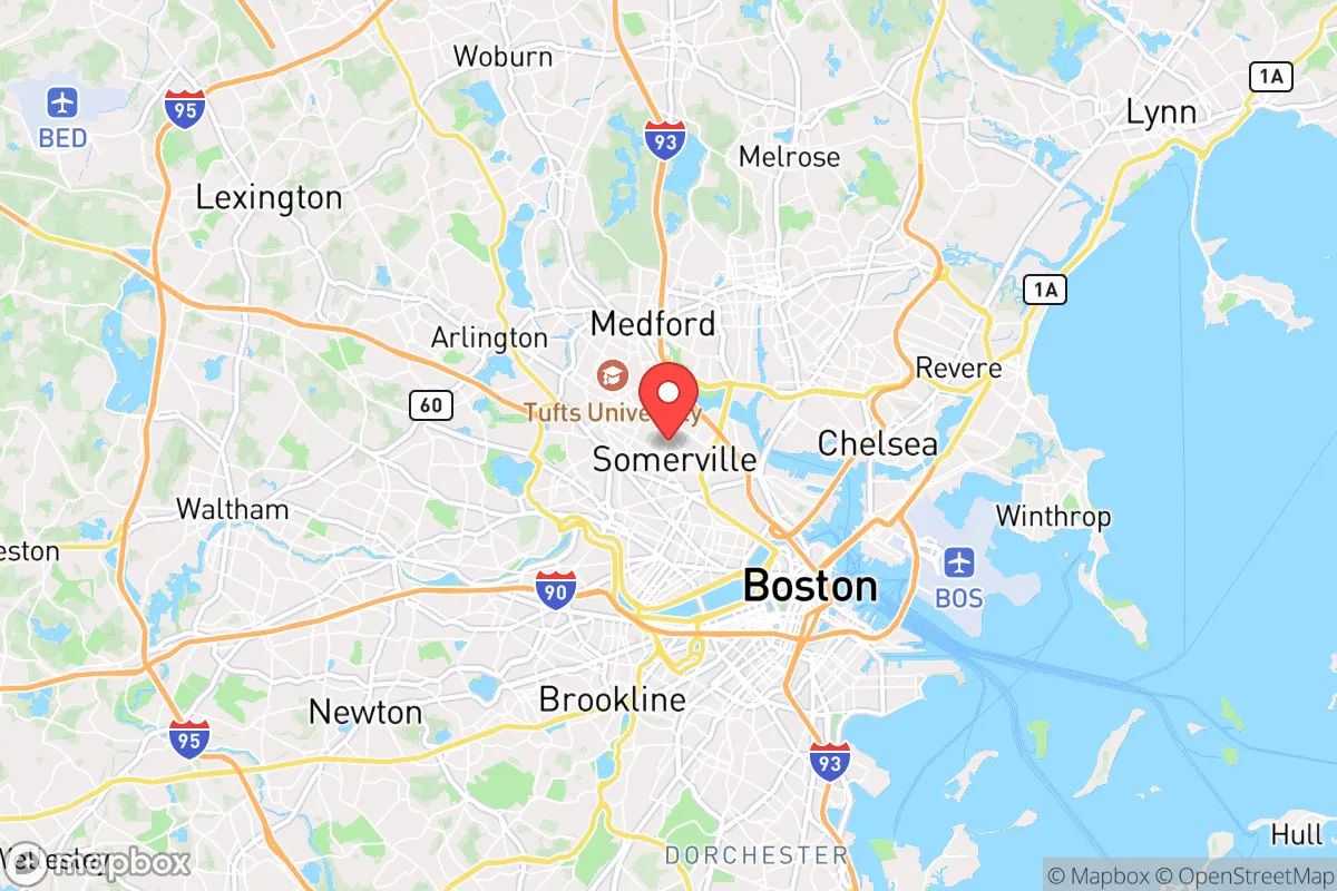
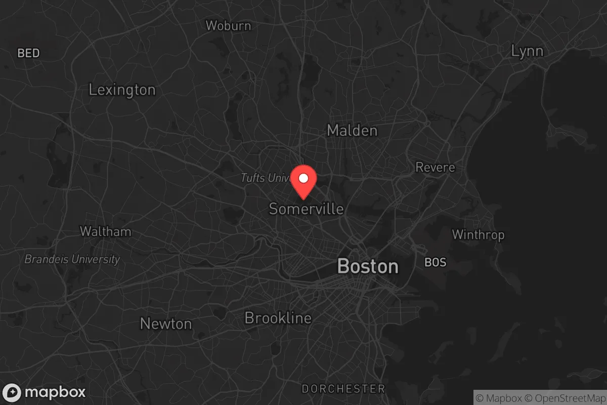
Somerville sits on the Mystic River, roughly three miles northwest of downtown Boston, and is the most densely populated city in New England. Its natural advantages are minimal but real: the city is built on seven hills, providing some natural elevation and drainage, and the Mystic River offers a potential water source if municipal supplies fail. The area's underlying geology is primarily Cambridge Argillite and granite, which means basement excavation for bunkers or root cellars is difficult but not impossible. The city's compact footprint—just 4.2 square miles—means that on foot, a prepared individual can reach the Middlesex Fells Reservation (2,575 acres of wooded land) in under 90 minutes, or the Mystic River Reservation's 800 acres of wetlands and trails in 30 minutes. These green spaces offer hunting, foraging, and timber potential in a prolonged grid-down scenario. However, the city's complete lack of arable land and its reliance on the Massachusetts Water Resources Authority for drinking water are critical weaknesses. Somerville has zero functional farmland within its borders, and the MWRA's Quabbin Reservoir pipeline is a single-point-of-failure target that would leave the entire metro area dry within days.
Risks, exposures, and proximity to fallout-relevant landmarks
From a prepper's perspective, Somerville's risk profile is dominated by its proximity to high-value targets. The city lies directly between Boston's financial district and the Hanscom Air Force Base complex in Bedford, a known command-and-control node. The MBTA's Red Line runs through Somerville's Davis Square, connecting directly to Kendall Square—home to MIT, the Broad Institute, and dozens of biodefense labs. Somerville is within the 5-mile blast radius of any ground-level nuclear detonation at Boston Common or Logan Airport, and within the 15-mile fallout zone for a strike on Hanscom. Beyond nuclear threats, the city's density (over 18,000 people per square mile) makes it a nightmare scenario for pandemic or biological agent release. The 2020 COVID-19 data showed Somerville's infection rate was 40% higher than the state average, a pattern that would repeat with any airborne pathogen. Civil unrest is another major concern: Somerville has a long history of left-wing activism, and the 2020 George Floyd protests saw multiple nights of property damage and looting in Davis Square and Union Square. The city's police force has just 135 sworn officers for a population of 81,000, meaning response times during widespread disorder would be measured in hours, not minutes. The I-93 corridor, which runs along Somerville's eastern edge, is a natural chokepoint that would become impassable during any evacuation—the 2004 Democratic National Convention saw gridlock that trapped residents for over six hours.
Practical resilience for a relocator: food, water, energy, and defensibility
For the individual or family committed to staying in Somerville, practical resilience requires a fundamentally different approach than a rural retreat. Water storage is the single most critical prep: the city's municipal supply is entirely dependent on electric pumps, and a prolonged power outage means no water. A minimum of 14 days of stored water per person (14 gallons) is non-negotiable, with a plan to access the Mystic River for non-potable use via a Berkey or similar filter. Food storage is complicated by limited space—most Somerville apartments and condos lack basements or garages. A 90-day supply of freeze-dried meals, stored under beds or in closets, is realistic. Energy resilience is possible but expensive: rooftop solar with battery backup (Tesla Powerwall or similar) can run $20,000-$30,000 installed, but Somerville's net metering policies and state tax credits make it more accessible than in many red states. Natural gas is the city's primary heating fuel, and the gas distribution network is vulnerable to earthquake or sabotage—a dual-fuel generator with a 100-gallon propane tank is a better bet. Defensibility is the hardest challenge. Somerville's dense row-house architecture means every home has multiple shared walls and windows facing public streets. The most defensible units are top-floor corner apartments with a single entry point, or single-family homes with fenced backyards on dead-end streets like those in the Spring Hill neighborhood. A hardened safe room (interior closet with steel door and ventilation) is worth the investment. Community resilience is a double-edged sword: Somerville has active neighborhood watch groups and a strong sense of local identity, but those same networks can become liabilities if they attract unwanted attention from roving groups during unrest.
The overall strategic picture for Somerville is one of calculated risk. It is not a place to ride out a long-term collapse—the population density, infrastructure fragility, and target proximity make that untenable. But for the prepper who must remain in the Boston metro for career or family obligations, Somerville offers a unique combination of walkability, transit access, and proximity to natural buffers that can be leveraged with disciplined preparation. The smart play is to treat Somerville as a Phase 1 location: a hardened urban base with a clear bug-out route to a rural property in New Hampshire or western Massachusetts. If you cannot leave the city, Somerville is one of the better bad options—but only if you treat it as a temporary staging ground, not a permanent sanctuary. The city's progressive politics and dense population will be a liability in any crisis that requires self-reliance, but its location and infrastructure can buy you the time you need to execute a real evacuation plan. Prepare accordingly, and keep your gas tank full.
* Values derived from national, state, county, city and local statistics and may differ in a specific area. Last updated: 2026-05-01T07:51:02.000Z
Narrative content on this page is AI-generated and may contain mistakes. Verify any details that matter before acting on them.
ReloMaps may earn a commission from affiliate links at no extra cost to you.