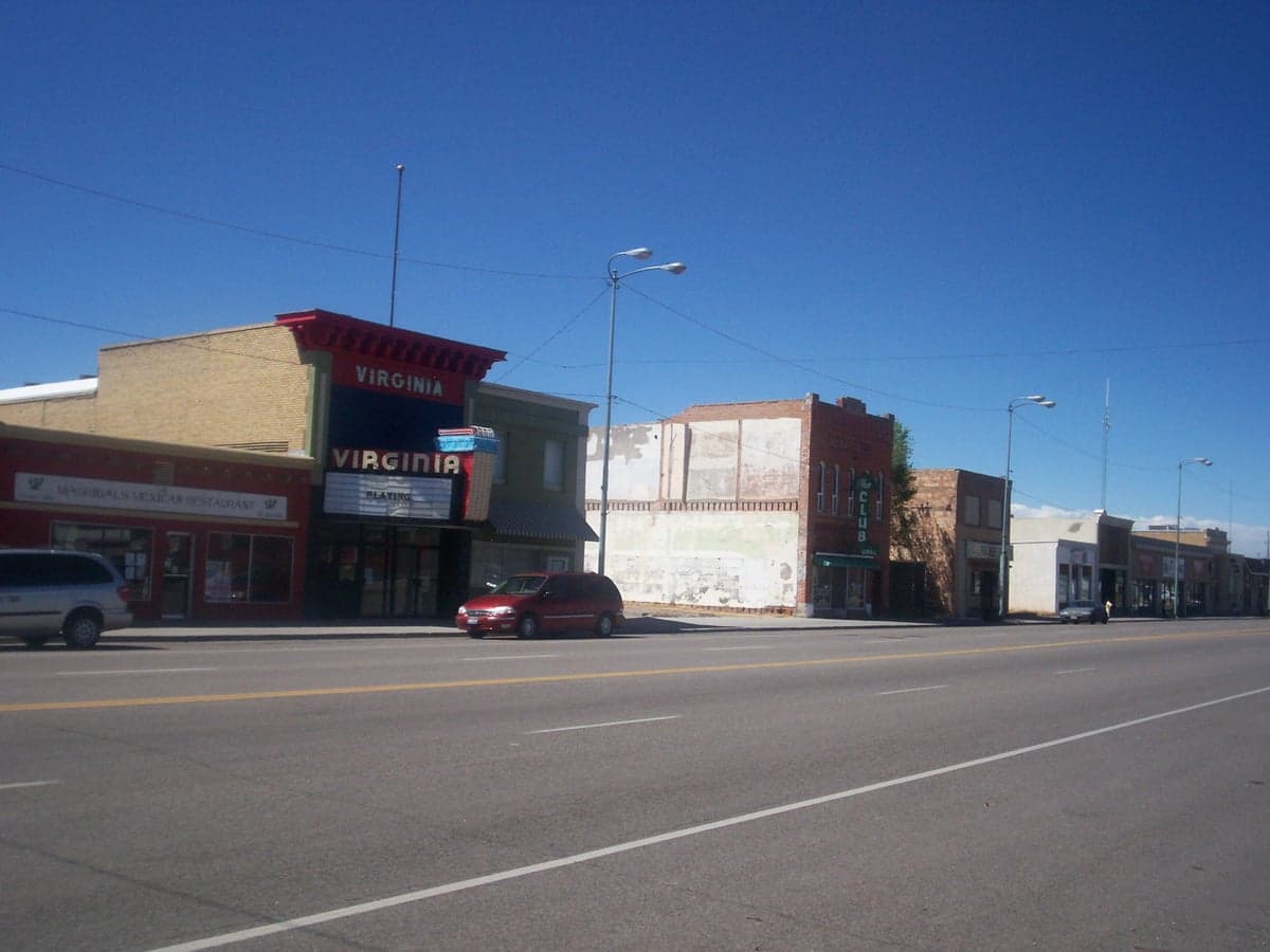
Photo: Wikipedia
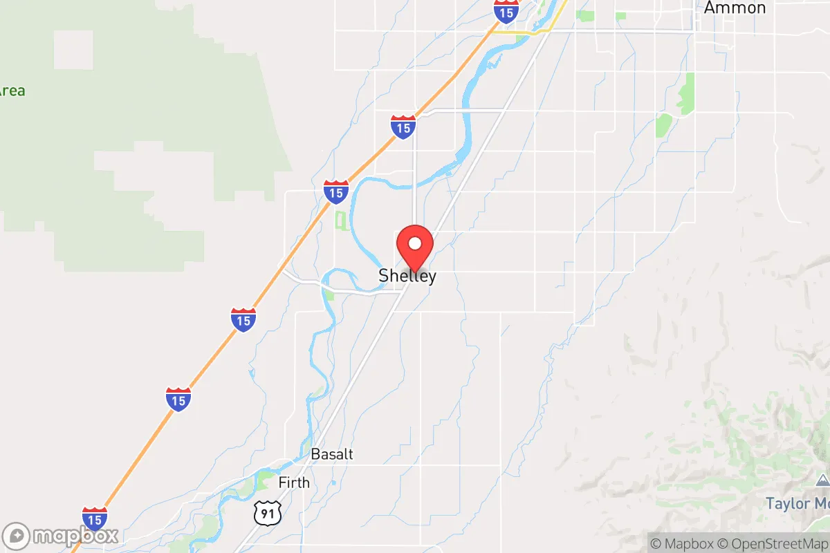
Strategic Assessment of Shelley, ID
Strong survivability profile. Good buffer from population centers, with manageable environmental and tactical risks.
What does the Strategic Assessment tell us?
Our Strategic Assessment grades tactical survivability of an area. Major population centers, military targets, fallout zones, natural disasters, and border exposure all drive risk — lower exposure means a more defensible position in a crisis.
This is heavily inspired by Joel Skousen's Strategic Relocation book. Highly recommended you checkout the book ($)What does this tell us?
Our Strategic Assessment grades tactical survivability of an area. Major population centers, military targets, fallout zones, natural disasters, and border exposure all drive risk — lower exposure means a more defensible position in a crisis.
This is heavily inspired by Joel Skousen's Strategic Relocation book. Highly recommended you checkout the book ($)Strategic Pillars

Key Distances
Regional Safe Places
Below is our recommended "safe zones" in Idaho and the surrounding area based on our strategic heuristics. For most people, it's unrealistic to live in a “safe zone” full-time due to work, family or other personal reasons. They tend to be more rural. However, many of these areas are perfect for second homes and retreat properties that double as a vacation home or even a short-term rental.


Important Note: For informational purposes only. This does not mean nothing bad ever happens in the green zones. Please use common sense. This is based on public data and modeled with AI. We tried to take a conservative approach but mistakes happen. We update this regularly as new information becomes available.
Solar Generator Recommendations
Backup power matters more here than in safer locations. We've picked three solar generators across budgets and capacity tiers — start with the budget unit if you only need a few essentials, or step up if you want to run a fridge and HVAC for days at a time.

Jackery Portable Power Station Explorer 300
Budget OptionPower on the Go: Weighing only 11 lbs, it's convenient to set up and store with book-sized foldable solar panels

BLUETTI Portable Power Station AC180
Designed for both indoor and outdoor scenarios, AC180 is highly capable as it has a robost capacity and continuous output power.

EF ECOFLOW DELTA Pro Ultra Power Station
Upgraded PickEcoFlow DELTA Pro Ultra is a whole-home energy system designed to grow with your family. Integrated with the Smart Home Panel 2, it scales to meet your evolving energy needs — keeping your home powered, intelligent, and secure through every stage of life.
We earn a commission, at no additional cost to you.
Strategic Assessment Analysis
Shelley, Idaho, sits in a position that offers a surprising blend of agricultural self-sufficiency and strategic isolation, making it a serious contender for anyone prioritizing long-term resilience. Located just north of Idaho Falls along the Snake River, this small city of roughly 4,500 people benefits from the region’s robust irrigation infrastructure and a climate that supports year-round food production, while remaining far enough from major population centers to avoid the worst of urban collapse scenarios. For a relocator with a prepper mindset, Shelley’s key advantage is its location within a broader network of small, tight-knit communities that share water rights, local governance, and a culture of mutual aid—factors that become critical when supply chains falter. The area’s conservative political leanings and strong agricultural economy also mean that local institutions are less likely to be paralyzed by bureaucratic overreach during a crisis, a point that resonates with those concerned about federal dependency.
Geographic position and natural advantages for long-term survival
Shelley’s geography is its strongest asset. The city lies in the Snake River Plain, a fertile volcanic basin that benefits from the Eastern Snake River Plain Aquifer, one of the most productive groundwater systems in the West. This means that even during drought years—which are becoming more common—local wells and irrigation canals maintain reliable water access for farming and household use. The surrounding farmland produces potatoes, wheat, barley, and sugar beets, and the region’s dairy operations are substantial enough to support a local milk and cheese supply chain. For a prepper, this translates to a food-security buffer that most suburban or exurban areas simply cannot match. The nearby Teton and Caribou-Targhee National Forests also provide timber, game, and forage, though these resources are best treated as supplementary rather than primary. Elevation here sits around 4,600 feet, which moderates summer heat and reduces wildfire risk compared to lower-elevation parts of the West, though winter snowpack can be heavy—a factor that requires proper vehicle and heating preparations. The Snake River itself offers a secondary water source, but its flow is heavily managed by upstream dams, so understanding local water rights and irrigation district rules is essential before purchasing land.
Risks, exposures, and proximity to fallout-relevant landmarks
No location is without vulnerabilities, and Shelley has a few that demand attention. The most obvious is the Idaho National Laboratory (INL), located roughly 30 miles west near Arco. While INL is a research facility rather than a weapons depot, it handles radioactive materials and has a history of minor incidents. In a worst-case scenario—a major earthquake or a targeted attack—the risk of airborne contamination is real, though prevailing winds typically blow from the southwest, which would carry fallout away from Shelley. Still, a prepper should have a radiation detection kit and a plan for sheltering in place for at least 48 hours if a plume event occurs. The second concern is the proximity to Idaho Falls (population 65,000), which is the nearest regional hub. While not a megacity, Idaho Falls would become a focal point for refugees, looting, and resource competition if a national crisis hits. Shelley’s position 10 miles north of Idaho Falls places it close enough to feel the ripple effects but far enough that a determined community could secure its perimeter. The third risk is seismic: the Yellowstone Caldera sits about 100 miles to the east, and while a super-eruption is statistically unlikely, the region does experience regular small earthquakes. A more immediate threat is the Teton Fault, which could produce a magnitude 7.0 event that damages infrastructure and disrupts the canal system. Finally, Shelley is within 200 miles of Hill Air Force Base in Utah and the Mountain Home Air Force Base, both of which are potential targets in a conflict, but the distance and intervening mountain ranges provide some attenuation of blast or fallout effects.
Practical resilience for a relocator: food, water, energy, and defensibility
For someone moving to Shelley with a prepper mindset, the practicalities of daily life align well with self-sufficiency goals. Water is the most critical resource, and the city’s municipal supply comes from deep wells tapping the Snake River Aquifer, which is less vulnerable to surface contamination than river-fed systems. Many rural properties outside city limits have their own wells, and drilling a new well typically costs $5,000 to $15,000 depending on depth—a worthwhile investment for independence. Food production is straightforward: the growing season runs from May to September, with enough heat units for tomatoes, peppers, and squash, while cold frames can extend harvests into October. Local farmers’ markets and co-ops in Shelley and nearby Ammon provide access to bulk grains, seeds, and livestock feed. For energy, the region benefits from abundant solar potential—over 200 sunny days per year—and net metering policies through Idaho Power allow grid-tied systems to offset costs. Off-grid setups are feasible but require battery storage due to winter cloud cover. Heating is primarily natural gas or propane, but wood stoves are common in rural homes, and the national forests offer ample firewood with a permit. Defensibility is a mixed bag: Shelley’s layout is a typical small town with a grid of streets and open farmland, which makes it hard to secure a large perimeter. However, the community is tight-knit, and many residents own firearms and have a “neighbor-watch” mentality. The local sheriff’s office in Bingham County is responsive but small, so a neighborhood watch or mutual-aid group is a practical step. For those seeking more isolation, properties along the Snake River bluffs or in the foothills east of town offer better vantage points and fewer access roads.
The overall strategic picture for Shelley is one of moderate-to-high resilience with manageable trade-offs. It lacks the extreme isolation of a mountain redoubt but compensates with a working agricultural base, reliable water, and a community that is culturally aligned with self-reliance and preparedness. The primary downsides—proximity to INL and Idaho Falls—are real but can be mitigated with proper planning, such as maintaining a go-bag, a radiation kit, and a network of contacts in smaller surrounding towns like Firth or Basalt. For a conservative-leaning individual or family who wants to be part of a functioning community rather than a lone-wolf survivalist, Shelley offers a solid foundation. The key is to act before the next crisis drives up land prices and strains local resources, because once the panic starts, this kind of quiet advantage disappears fast.
* Values derived from national, state, county, city and local statistics and may differ in a specific area. Last updated: 2026-05-03T20:23:23.000Z
Narrative content on this page is AI-generated and may contain mistakes. Verify any details that matter before acting on them.
ReloMaps may earn a commission from affiliate links at no extra cost to you.