
Photo: Wikipedia
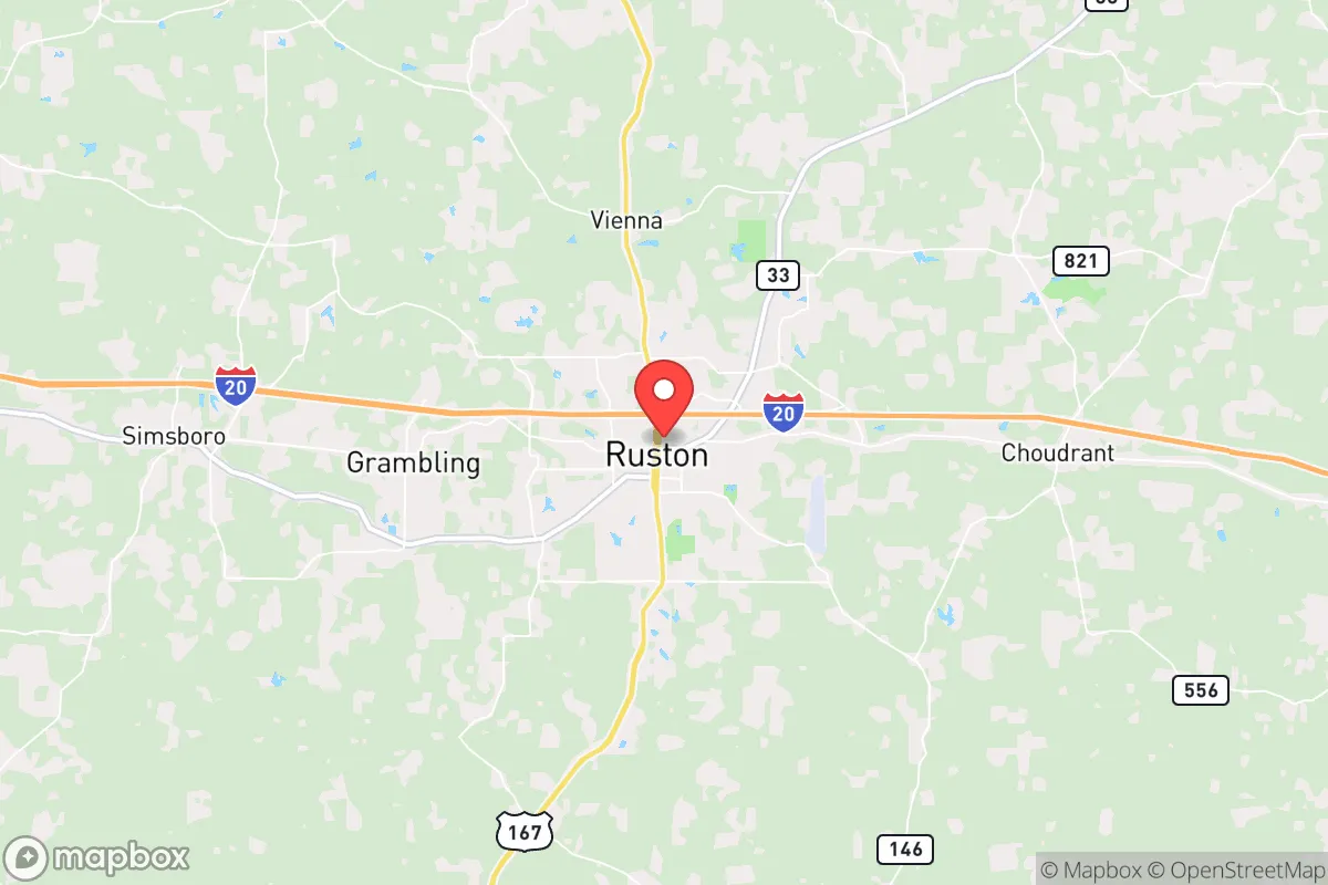
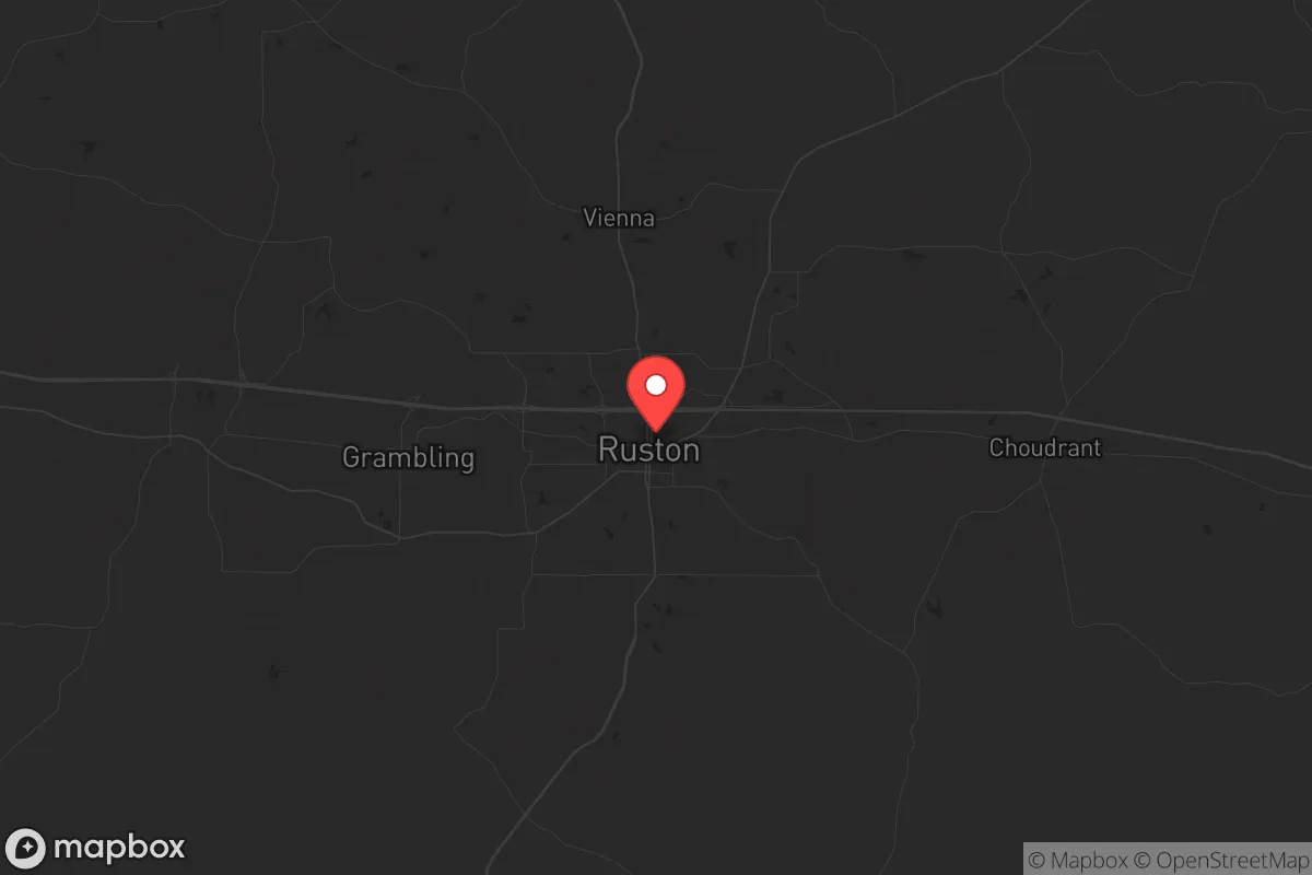
Strategic Assessment of Ruston, LA
Workable tactical position. Some exposure to population density or targets, but generally defensible in a crisis.
What does the Strategic Assessment tell us?
Our Strategic Assessment grades tactical survivability of an area. Major population centers, military targets, fallout zones, natural disasters, and border exposure all drive risk — lower exposure means a more defensible position in a crisis.
This is heavily inspired by Joel Skousen's Strategic Relocation book. Highly recommended you checkout the book ($)What does this tell us?
Our Strategic Assessment grades tactical survivability of an area. Major population centers, military targets, fallout zones, natural disasters, and border exposure all drive risk — lower exposure means a more defensible position in a crisis.
This is heavily inspired by Joel Skousen's Strategic Relocation book. Highly recommended you checkout the book ($)Strategic Pillars

Key Distances
Regional Safe Places
Below is our recommended "safe zones" in Louisiana and the surrounding area based on our strategic heuristics. For most people, it's unrealistic to live in a “safe zone” full-time due to work, family or other personal reasons. They tend to be more rural. However, many of these areas are perfect for second homes and retreat properties that double as a vacation home or even a short-term rental.

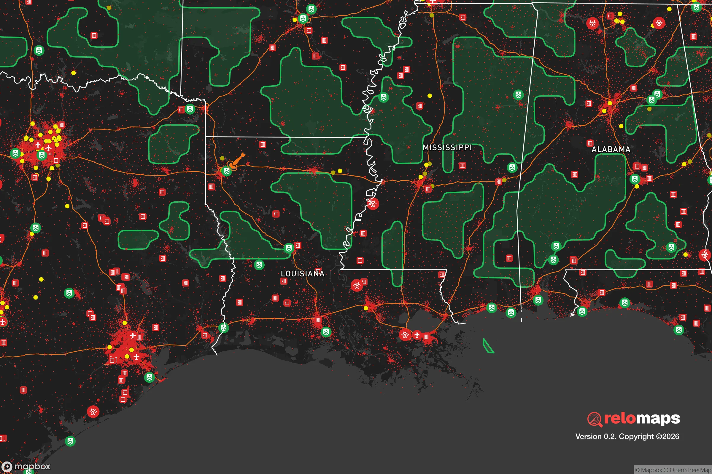
Important Note: For informational purposes only. This does not mean nothing bad ever happens in the green zones. Please use common sense. This is based on public data and modeled with AI. We tried to take a conservative approach but mistakes happen. We update this regularly as new information becomes available.
Solar Generator Recommendations
Backup power matters more here than in safer locations. We've picked three solar generators across budgets and capacity tiers — start with the budget unit if you only need a few essentials, or step up if you want to run a fridge and HVAC for days at a time.

Jackery Portable Power Station Explorer 300
Budget OptionPower on the Go: Weighing only 11 lbs, it's convenient to set up and store with book-sized foldable solar panels

BLUETTI Portable Power Station AC180
Designed for both indoor and outdoor scenarios, AC180 is highly capable as it has a robost capacity and continuous output power.

EF ECOFLOW DELTA Pro Ultra Power Station
Upgraded PickEcoFlow DELTA Pro Ultra is a whole-home energy system designed to grow with your family. Integrated with the Smart Home Panel 2, it scales to meet your evolving energy needs — keeping your home powered, intelligent, and secure through every stage of life.
We earn a commission, at no additional cost to you.
Strategic Assessment Analysis
Ruston, Louisiana, sits on a geological and logistical sweet spot that makes it a surprisingly viable node for long-term resilience, provided you understand its trade-offs. Anchored by Interstate 20 and U.S. Highway 167, the town offers a blend of small-city infrastructure and rural buffer that keeps it off the radar of most strategic planners—which is precisely its advantage. With a population hovering around 22,000 and a metro area under 100,000, Ruston avoids the density-driven chaos of larger Southern hubs while maintaining enough economic activity to support basic supply chains. The presence of Louisiana Tech University adds a layer of institutional stability and a younger demographic that can be a double-edged sword in a crisis, but the town's overall character leans conservative, church-oriented, and community-bound—traits that matter when systems falter.
Geographic position and natural advantages for long-term security
Ruston’s location in north-central Louisiana places it squarely in the Piney Woods region, a transition zone between the Mississippi River floodplain to the east and the rolling hills of the Ark-La-Tex to the west. This isn’t flat delta country; the area sits on a series of low ridges and clay hills that provide natural drainage and reduce flood risk compared to much of the rest of Louisiana. The soils are sandy loam, which means decent percolation for septic systems and gardening, though you’ll need to amend heavily for serious food production. Water is abundant—the area sits atop the Sparta Aquifer, one of the largest freshwater aquifers in the South, and surface water from Bayou D’Arbonne and Lake D’Arbonne State Park is within a 15-minute drive. The climate is humid subtropical, with hot summers and mild winters, giving a growing season that stretches from March to November. That’s a solid 8–9 months for annual crops, and the native forests—mostly loblolly pine, oak, and hickory—offer both timber for construction and fuel for heating. The terrain is gently rolling, not mountainous, which means you can move vehicles and equipment without the access headaches of Appalachia, but you still get enough elevation change to create defensible sightlines and natural water runoff.
Risks, exposures, and proximity to fallout-relevant landmarks
No location is a fortress, and Ruston has its share of vulnerabilities that a prepper needs to weigh. The most immediate risk is hurricane-related weather. While Ruston is 200 miles inland from the Gulf, it sits in the path of tropical systems that stall over the region, dumping 10–15 inches of rain in 48 hours. The 2016 flood event, which swamped parts of the Ruston area, showed that even elevated terrain can get cut off when bayous overflow and roads wash out. That said, the town itself is not in a FEMA-designated flood zone for the most part, and the hills to the north and west offer higher ground. The bigger concern is proximity to Barksdale Air Force Base in Bossier City, about 60 miles west. Barksdale is home to the 2nd Bomb Wing and the 8th Air Force, with B-52Hs and nuclear-capable assets. In a major conflict or terrorist event, that base is a tier-one target. Ruston is far enough away to avoid a direct blast or fireball, but fallout patterns depend on wind direction. Prevailing winds in the region are from the south and southwest, meaning a strike on Barksdale could push radioactive debris toward the I-20 corridor east of Shreveport—which includes Ruston. You’d need a basement or interior shelter with at least 24 hours of supplies and a radiation meter. Also worth noting: the Louisiana Chemical Corridor along the Mississippi River between Baton Rouge and New Orleans is about 200 miles southeast. A major industrial accident or sabotage at one of the refineries or chemical plants there could send a toxic plume northward, though dispersion over that distance would likely dilute it to sub-lethal levels. The more immediate risk is civil unrest spilling out of Monroe (30 miles east) or Shreveport (60 miles west), both of which have higher crime rates and larger populations. Ruston’s relative isolation and strong local law enforcement—Lincoln Parish Sheriff’s Office and Ruston PD—are a buffer, but a determined mob could still reach you via I-20 in under 40 minutes.
Practical resilience: food, water, energy, and defensibility for a relocator
For someone serious about self-sufficiency, Ruston offers a workable baseline with room to improve. Water is the strongest asset. The Sparta Aquifer provides clean, potable water at depths of 200–400 feet, and many rural properties already have private wells. If you’re buying land, prioritize a lot with an existing well or the ability to drill one—costs run $3,000–$6,000 for a residential well in this region. Surface water from Bayou D’Arbonne is reliable but requires filtration and boiling due to agricultural runoff and wildlife. Food production is feasible but not effortless. The soil is acidic (pH 4.5–5.5) and low in organic matter, so you’ll need to lime and compost to get decent yields. Raised beds or hugelkultur mounds work well. Local farmers’ markets and co-ops exist but are small; the real advantage is the number of small-scale farms within a 20-mile radius that sell eggs, meat, and produce directly. For long-term storage, the low humidity (relative to coastal Louisiana) helps keep grains and dried goods from molding, but you’ll still need airtight containers and a cool, dark space. Energy is a mixed bag. The grid is served by Entergy Louisiana, which has a decent reliability record but is vulnerable to ice storms (rare but destructive) and hurricane-related outages. Solar is viable—the region gets about 5.0 peak sun hours per day on average—but you’ll need battery storage or a generator for cloudy stretches. Natural gas is available in town but not in rural areas; propane tanks are common for heating and cooking. Defensibility depends on your specific property. The terrain offers natural chokepoints: narrow two-lane roads, creek crossings, and wooded ridges. A property set back from the main roads with a long driveway and clear fields of fire is achievable. The local gun culture is strong, with several gun shops and ranges in the area, and Louisiana is a constitutional carry state. That said, the town itself is not a fortress—it has a college campus, a hospital (Northern Louisiana Medical Center), and a Walmart Supercenter, all of which could become points of friction in a prolonged crisis. The smart play is to live on the outskirts, within 10–15 minutes of town for supply runs, but with enough land and distance to control access.
The overall strategic picture for Ruston is one of moderate resilience with specific, manageable risks. It’s not a bug-out paradise—you won’t find mountain redoubts or off-grid communes here. What you will find is a community that still values neighborly reciprocity, a local government that isn’t hostile to firearms or property rights, and a geography that provides reliable water, decent growing conditions, and a buffer from the worst of coastal and urban chaos. The proximity to Barksdale is the single biggest wildcard, and anyone serious about relocation here should have a fallout plan and a route north or east if the situation deteriorates. But for a conservative-minded relocator looking for a place that’s still affordable (median home price around $200,000), has a functioning local economy, and isn’t on the front lines of the culture war or the next disaster, Ruston deserves a hard look. It’s not a bunker—it’s a base of operations. And in a world where the grid might flicker and the cities might burn, a base of operations with good water and good people is worth more than gold.
* Values derived from national, state, county, city and local statistics and may differ in a specific area. Last updated: 2026-05-01T04:21:09.000Z
Narrative content on this page is AI-generated and may contain mistakes. Verify any details that matter before acting on them.
ReloMaps may earn a commission from affiliate links at no extra cost to you.