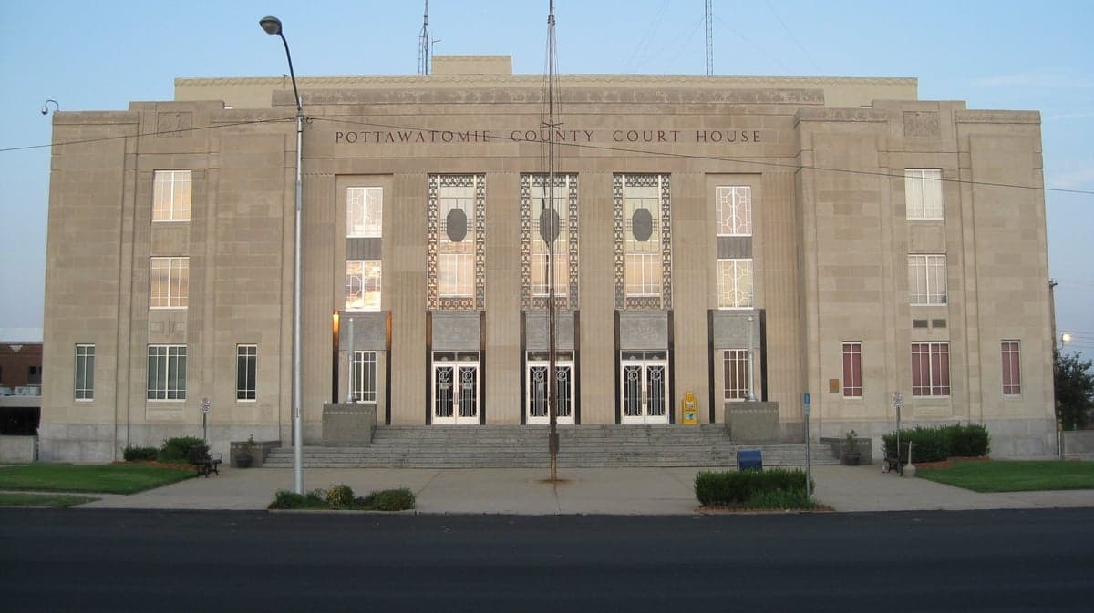
Photo: Wikipedia
Strategic Assessment of Pottawatomie County
Workable tactical position. Some exposure to population density or targets, but generally defensible in a crisis.
What does the Strategic Assessment tell us?
Our Strategic Assessment grades tactical survivability of an area. Major population centers, military targets, fallout zones, natural disasters, and border exposure all drive risk — lower exposure means a more defensible position in a crisis.
This is heavily inspired by Joel Skousen's Strategic Relocation book. Highly recommended you checkout the book ($)What does this tell us?
Our Strategic Assessment grades tactical survivability of an area. Major population centers, military targets, fallout zones, natural disasters, and border exposure all drive risk — lower exposure means a more defensible position in a crisis.
This is heavily inspired by Joel Skousen's Strategic Relocation book. Highly recommended you checkout the book ($)Strategic Pillars

Key Distances
Strategic Assessment Analysis
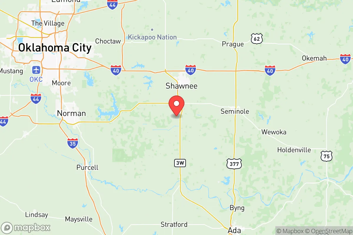
Pottawatomie County, anchored by the twin cities of Shawnee and Tecumseh, offers a compelling mix of geographic resilience and practical self-sufficiency for relocators prioritizing disaster readiness. Situated roughly 35 miles east of Oklahoma City and 60 miles west of the McAlester Army Ammunition Plant, the county occupies a strategic middle ground—close enough to urban resources for supply runs and medical access, but far enough to avoid the immediate fallout and congestion of a major metropolitan target. With a population density of roughly 70 people per square mile and a landscape of rolling plains, creeks, and Lake Thunderbird, the area presents a defensible, resource-rich environment that rewards prepared individuals and families.
Geographic position and natural advantages for disaster preparedness
Pottawatomie County sits in a transitional zone between the Cross Timbers ecoregion and the Red Bed Plains, offering a mix of wooded cover and open agricultural land. This diversity supports both concealment and cultivation. The county is bisected by the North Canadian River and dotted with smaller tributaries like the Little River, providing multiple surface water sources for off-grid households. Lake Thunderbird, a 6,000-acre reservoir on the county's western edge, serves as a major freshwater reserve and is managed by the Central Oklahoma Master Conservancy District, ensuring a regulated supply even during drought. The terrain is gently rolling, with elevations ranging from 1,000 to 1,200 feet, which reduces flood risk compared to flatter lowlands while still allowing for effective drainage. The county's position east of the I-35 corridor places it outside the most congested evacuation routes from Oklahoma City, giving residents alternative backroads like State Highways 9, 18, and 102 for egress or resupply.
Risks, exposures, and proximity to fallout-relevant landmarks
While Pottawatomie County avoids the highest-risk zones, it is not without exposure. The most significant man-made risk comes from the McAlester Army Ammunition Plant, roughly 60 miles southeast, which stores and processes conventional munitions and is a plausible target in a conflict scenario. Prevailing winds from the south-southeast could carry fallout toward the county, though the distance provides a meaningful buffer. Closer to home, the Oklahoma City metropolitan area, with its Tinker Air Force Base and major energy infrastructure, lies 35 miles west—close enough to generate secondary effects like refugee flow or supply chain disruption, but far enough that a direct strike on the city would not immediately threaten the county. Natural risks include tornadoes, which are a seasonal reality across central Oklahoma; the county averages 5-7 tornado warnings per year, and the 2013 Shawnee tornado (EF-4) demonstrated the potential for localized devastation. Wildfire risk is moderate, particularly in the wooded areas around Lake Thunderbird and the rural stretches near Dale and Bethel Acres, where dry grass and timber can fuel fast-moving fires. Flooding is limited to low-lying areas along the North Canadian River, but most residential zones sit on higher ground.
Practical resilience for a relocator: food, water, energy, and defensibility
For a relocator serious about self-sufficiency, Pottawatomie County offers strong fundamentals. The county has over 1,200 farms covering roughly 60% of its land area, producing cattle, hay, wheat, and soybeans. This agricultural base means local food sources are abundant, and farmers' markets in Shawnee and Tecumseh operate year-round. Water access is above average: in addition to Lake Thunderbird, the county sits atop the Garber-Wellington Aquifer, a major groundwater source that supplies many private wells. Well drilling is common and affordable, with typical depths of 200-400 feet yielding 10-30 gallons per minute. For energy, the county is served by OG&E and PSO, but rural areas see frequent outages during storms, making solar-plus-battery setups a practical investment. Wood heating is viable given the timber cover, and propane delivery is widely available. Defensibility is aided by the county's layout: Shawnee (population ~30,000) provides a central hub for supplies and medical care, while smaller communities like Earlsboro, Macomb, and St. Louis offer low-visibility, rural retreats with good sightlines and limited through-traffic. The county's road network includes numerous dead-end roads and rural routes that can be monitored or blocked, and the terrain offers natural chokepoints along creek crossings and ridge lines.
Overall, Pottawatomie County presents a balanced strategic picture for the disaster-conscious relocator. It avoids the highest-risk zones near major military and industrial targets while retaining access to urban resources when needed. The combination of surface and groundwater, agricultural capacity, and a moderate population density supports long-term self-sufficiency without the isolation of more remote locations. The primary trade-offs are the seasonal tornado threat and the proximity to Oklahoma City's potential secondary effects, but for a prepared household with a well, solar array, and stored supplies, the county offers one of the more resilient options in central Oklahoma. Relocators should prioritize properties east of Shawnee and south of I-40 to maximize distance from the city and leverage the county's natural buffers.

* Values derived from national, state, county, city and local statistics and may differ in a specific area. Last updated: 2026-07-29T20:48:03.000Z
Narrative content on this page is AI-generated and may contain mistakes. Verify any details that matter before acting on them.
ReloMaps may earn a commission from affiliate links at no extra cost to you.

