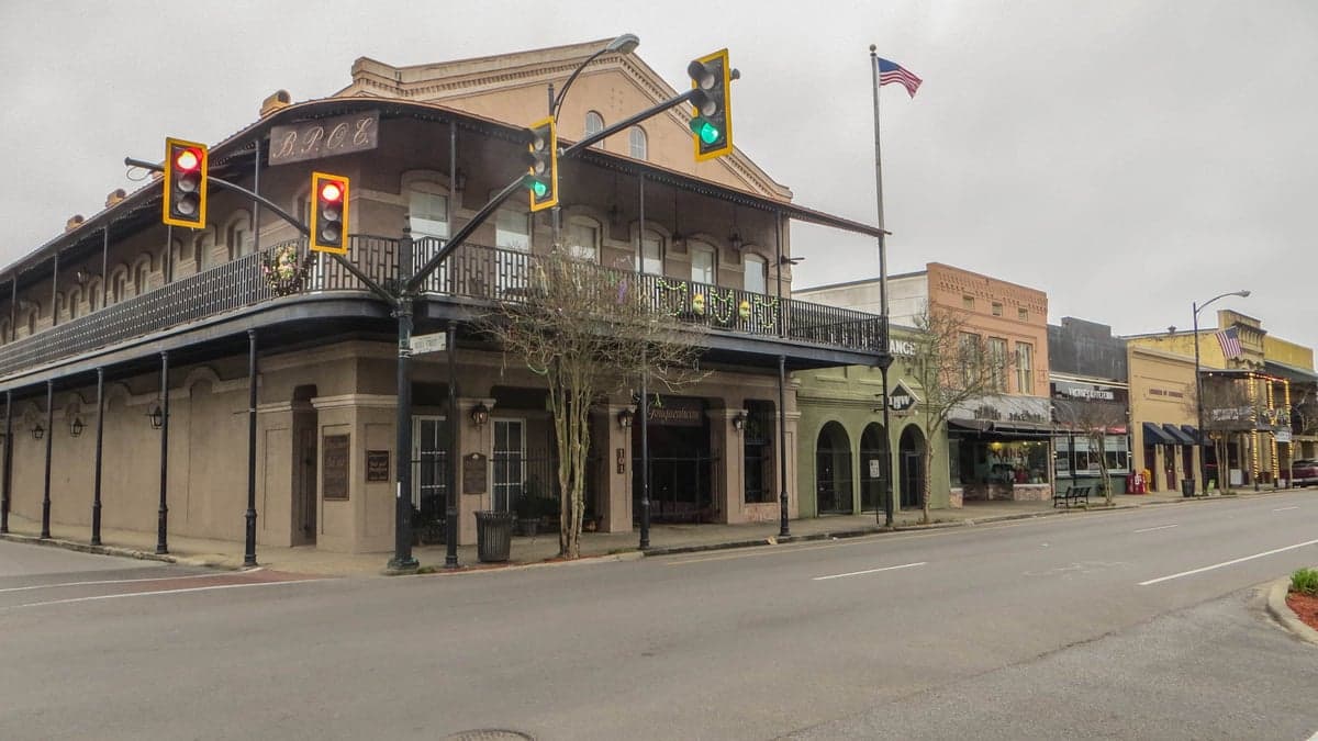

Photo: Wikipedia
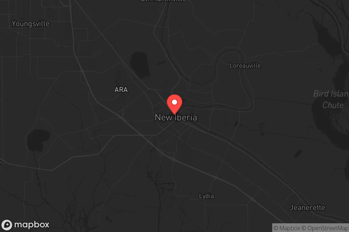
Strategic Assessment of New Iberia, LA
Meaningful friction. Expect exposure to either population pressure, blast zones, or natural disaster risk. Consider buying a retreat property.
What does the Strategic Assessment tell us?
Our Strategic Assessment grades tactical survivability of an area. Major population centers, military targets, fallout zones, natural disasters, and border exposure all drive risk — lower exposure means a more defensible position in a crisis.
This is heavily inspired by Joel Skousen's Strategic Relocation book. Highly recommended you checkout the book ($)What does this tell us?
Our Strategic Assessment grades tactical survivability of an area. Major population centers, military targets, fallout zones, natural disasters, and border exposure all drive risk — lower exposure means a more defensible position in a crisis.
This is heavily inspired by Joel Skousen's Strategic Relocation book. Highly recommended you checkout the book ($)Strategic Pillars

Key Distances
Regional Safe Places
Below is our recommended "safe zones" in Louisiana and the surrounding area based on our strategic heuristics. For most people, it's unrealistic to live in a “safe zone” full-time due to work, family or other personal reasons. They tend to be more rural. However, many of these areas are perfect for second homes and retreat properties that double as a vacation home or even a short-term rental.

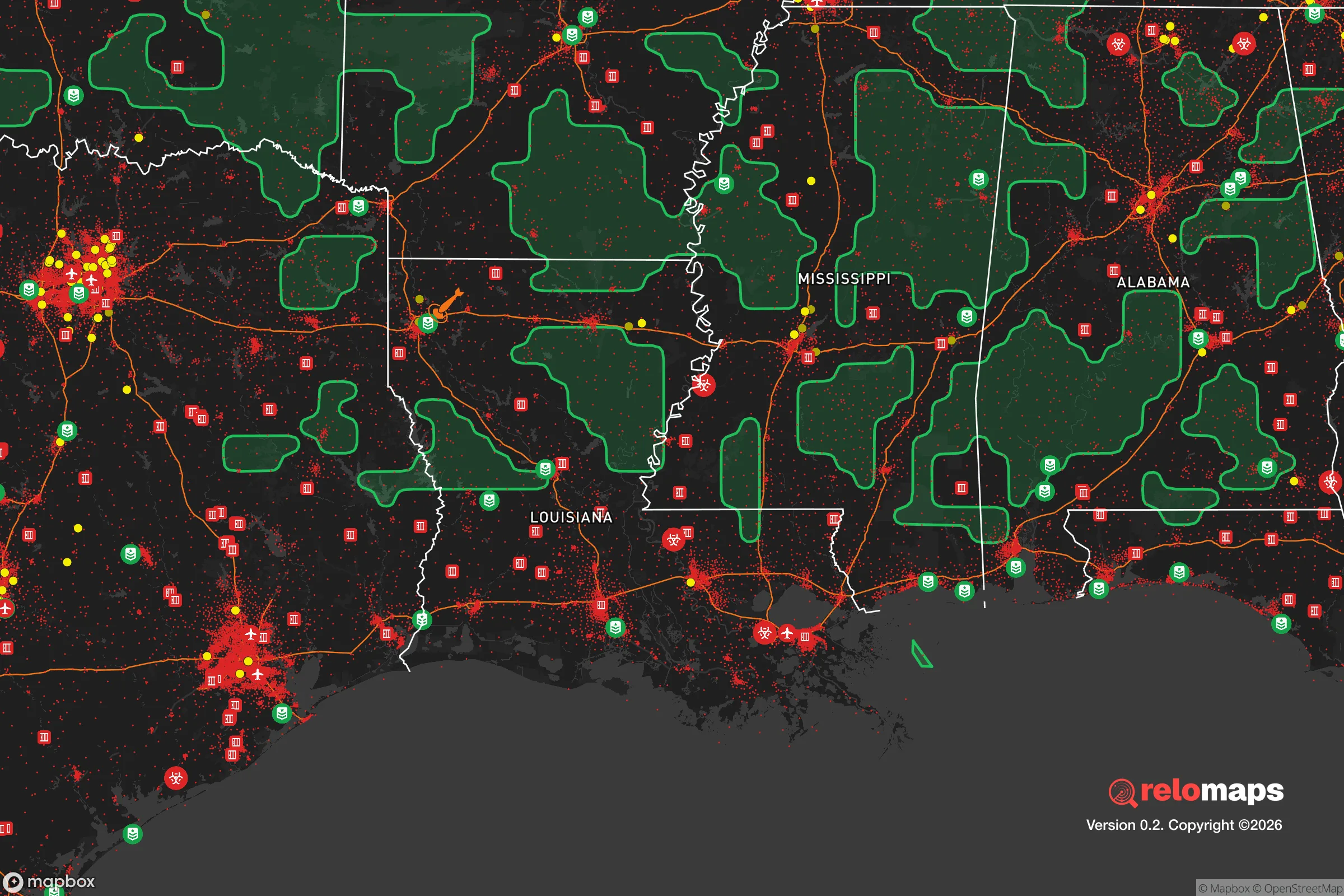
Important Note: For informational purposes only. This does not mean nothing bad ever happens in the green zones. Please use common sense. This is based on public data and modeled with AI. We tried to take a conservative approach but mistakes happen. We update this regularly as new information becomes available.
Solar Generator Recommendations
Backup power matters more here than in safer locations. We've picked three solar generators across budgets and capacity tiers — start with the budget unit if you only need a few essentials, or step up if you want to run a fridge and HVAC for days at a time.

Jackery Portable Power Station Explorer 300
Budget OptionPower on the Go: Weighing only 11 lbs, it's convenient to set up and store with book-sized foldable solar panels

BLUETTI Portable Power Station AC180
Designed for both indoor and outdoor scenarios, AC180 is highly capable as it has a robost capacity and continuous output power.

EF ECOFLOW DELTA Pro Ultra Power Station
Upgraded PickEcoFlow DELTA Pro Ultra is a whole-home energy system designed to grow with your family. Integrated with the Smart Home Panel 2, it scales to meet your evolving energy needs — keeping your home powered, intelligent, and secure through every stage of life.
We earn a commission, at no additional cost to you.
Strategic Assessment Analysis
New Iberia, Louisiana, sits as a surprisingly resilient pocket in the Gulf South, offering a strategic blend of geographic isolation and practical self-sufficiency that appeals to those planning for long-term stability. Located roughly 20 miles southeast of Lafayette and 130 miles west of New Orleans, this town of about 28,000 residents benefits from being far enough from major urban centers to avoid the worst of civil unrest or fallout from a major event, yet close enough to access critical infrastructure when needed. The area’s position along the Bayou Teche and its proximity to the Atchafalaya Basin provide natural buffers and resources that make it a viable option for relocators prioritizing preparedness over convenience.
Geographic position and natural advantages for long-term stability
New Iberia’s location is defined by its access to the Atchafalaya Basin, the largest swamp in the United States, which acts as a natural barrier against both human and environmental threats. The basin’s dense wetlands and waterways make large-scale movement difficult, effectively isolating the area from the kind of rapid population displacement that could follow a disaster in Baton Rouge or New Orleans. The town sits on high ground relative to surrounding parishes, with elevations averaging 20–30 feet above sea level, reducing flood risk compared to coastal communities like Morgan City or Grand Isle. The Bayou Teche, which runs through the heart of New Iberia, provides a reliable freshwater source and a navigable route for small craft, which could be critical if road networks become compromised. The region’s subtropical climate supports year-round growing seasons, with an average 230 frost-free days per year, allowing for continuous food production. The surrounding agricultural land—primarily sugarcane, soybeans, and crawfish farms—offers opportunities for local food sourcing and barter economies, a key consideration for those planning to reduce dependence on fragile supply chains.
Risks, exposures, and proximity to fallout-relevant landmarks
No location is without vulnerabilities, and New Iberia has several that demand attention. The most immediate risk is hurricane exposure: the area sits in a zone that has seen direct hits from Category 3+ storms, including Hurricane Rita in 2005 and Hurricane Laura in 2020. Storm surge from the Gulf of Mexico can push up the Vermilion and Atchafalaya rivers, though New Iberia’s inland position reduces the worst of it. Flooding from heavy rainfall is a recurring issue, with the 2016 flood event causing widespread damage across the region. The town is within 50 miles of the Louisiana Offshore Oil Port (LOOP), a major crude oil terminal that could be a target for sabotage or disruption during a national crisis. Additionally, the Port of Iberia, a 1,200-acre industrial complex focused on oil and gas fabrication, is a potential economic chokepoint that could attract unwanted attention. The proximity to the Strategic Petroleum Reserve’s Bryan Mound site near Freeport, Texas (about 150 miles west) is less of a direct concern but worth noting for those tracking energy infrastructure vulnerabilities. On the human threat side, New Iberia’s crime rate is higher than the national average, with property crime being the primary concern—this underscores the need for robust home security and community networking rather than a reason to dismiss the area outright.
Practical resilience for a relocator: food, water, energy, and defensibility
For the serious prepper, New Iberia offers several practical advantages that align with a self-reliant lifestyle. Water access is exceptional: the Bayou Teche and numerous smaller bayous provide surface water that can be filtered or treated, and the underlying Chicot Aquifer supplies reliable groundwater for wells. Many rural properties outside the city limits already have private wells, reducing dependence on municipal systems that could fail during a grid-down scenario. Food production is viable year-round due to the long growing season, and the local agricultural economy means seeds, livestock feed, and farming equipment are readily available. The Atchafalaya Basin offers wild game—deer, feral hogs, alligator, and waterfowl—as well as fish and crawfish, providing a protein source that doesn’t rely on grocery stores. Energy resilience is mixed: the region is heavily dependent on natural gas and grid electricity, but solar potential is decent with an average of 5.2 peak sun hours per day, and the flat terrain makes ground-mounted panels practical. Wood for heating is abundant from the surrounding pine and hardwood forests, though proper seasoning is required due to high humidity. Defensibility is a double-edged sword: the bayous and swamps create natural chokepoints that can be monitored, but they also limit escape routes. The town’s layout—a compact core with sprawling rural outskirts—means that a relocator can choose a property with good sightlines and limited access points, such as a farmhouse on a dead-end road near the basin. Community cohesion is a wildcard: New Iberia has a strong Cajun culture with deep family ties, which can be an asset for mutual aid but also a barrier for outsiders. Building trust through local churches, hunting clubs, or volunteer fire departments is essential for long-term integration.
The overall strategic picture for a conservative relocator
New Iberia presents a credible option for those seeking a balance between rural self-sufficiency and access to regional infrastructure, but it’s not a bug-out location for the unprepared. The area’s strengths—abundant water, fertile land, natural barriers, and a working-class culture that values independence—align well with a prepper mindset. Its weaknesses—hurricane risk, industrial targets, and a higher crime rate in the city proper—require active mitigation through property selection, hardening, and community engagement. For a single individual or family willing to invest in flood mitigation, solar backup, and local relationships, New Iberia offers a defensible base that can weather both natural disasters and civil unrest better than most Gulf Coast alternatives. The key is to avoid the flood-prone subdivisions near the bayou and instead target higher-ground properties with well access and good road connectivity to the basin. In a worst-case scenario, the Atchafalaya Basin provides a fallback zone that is difficult for large groups to penetrate, giving a prepared relocator a genuine strategic advantage. This is not a place for those who need Amazon delivery or urban amenities—it’s a place for those who understand that resilience is built, not bought, and who are willing to put in the work to make it happen.
* Values derived from national, state, county, city and local statistics and may differ in a specific area. Last updated: 2026-05-01T06:07:30.000Z
Narrative content on this page is AI-generated and may contain mistakes. Verify any details that matter before acting on them.
ReloMaps may earn a commission from affiliate links at no extra cost to you.